News & Stories

Discover news, insights and updates about ESG Maps, our products and sustainability data.

View articles
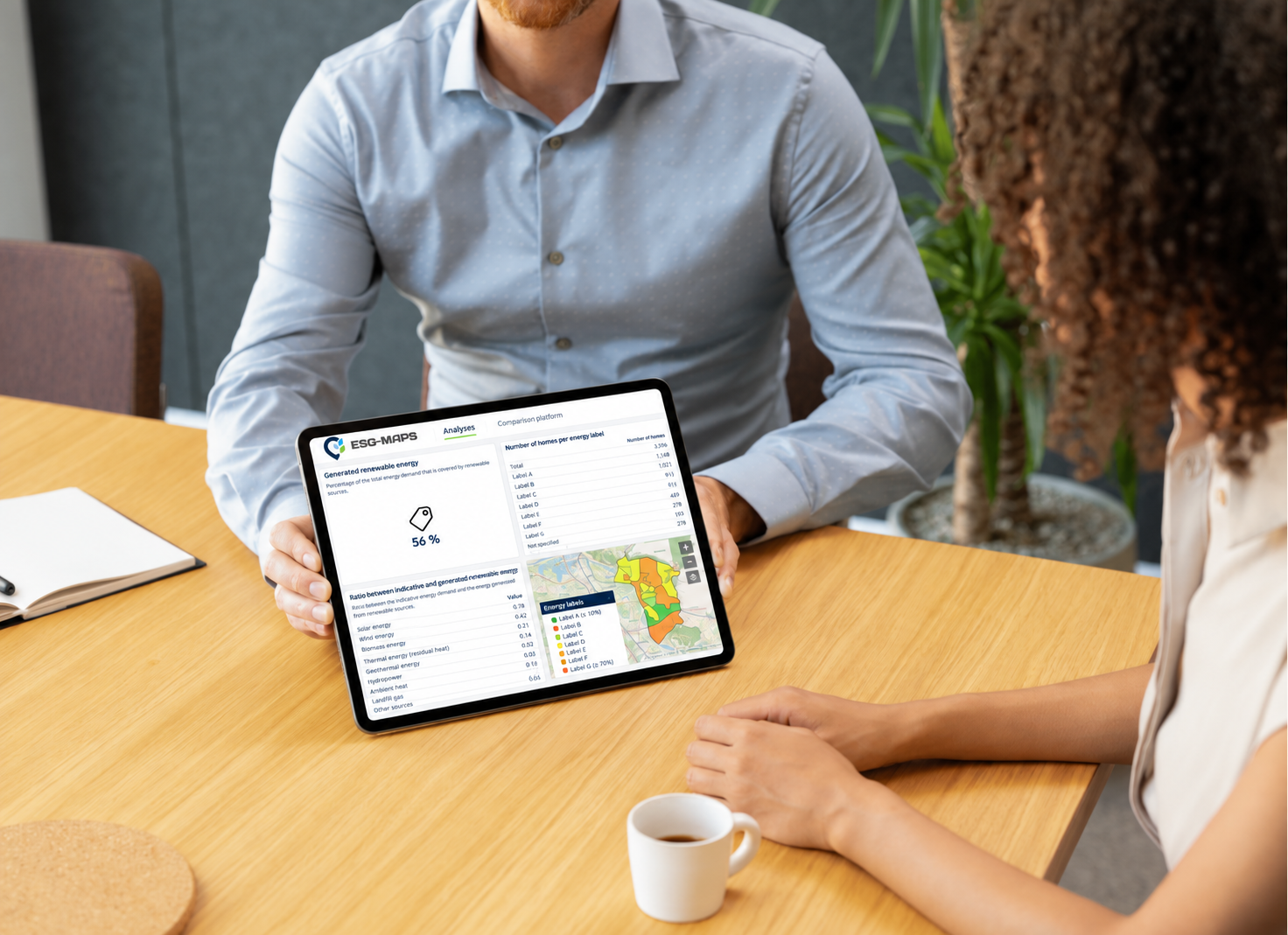
ESG Maps platform met duurzaamheidsdata

Filter by category

Category
Nature restoration becomes measurable: what municipalities should prepare now
Insights··ESG Maps Team

Nature restoration becomes measurable: what municipalities should prepare now

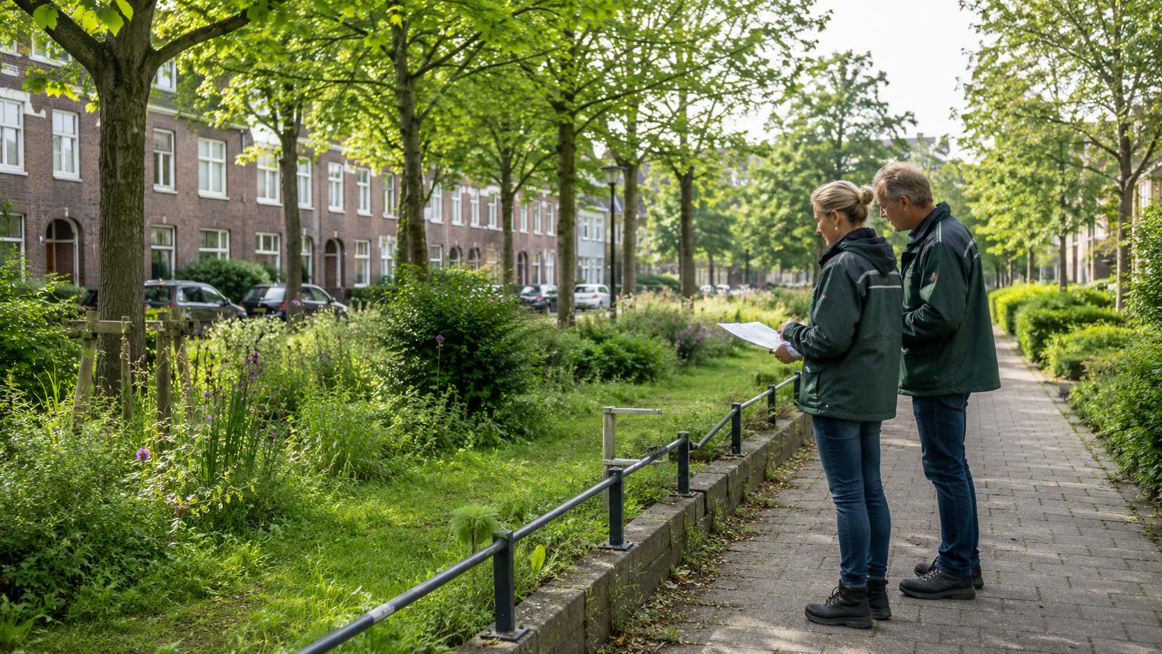
The European Nature Restoration Regulation makes reliable monitoring of urban green increasingly important. Discover what this means for municipalities and how spatial data helps demonstrate green development.
AI detects solar panels, but reliable data requires more
Insights··ESG-Maps Team

AI detects solar panels, but reliable data requires more

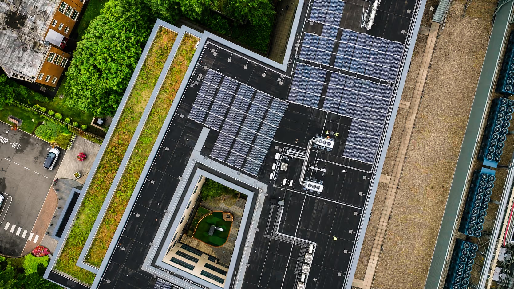
AI can identify solar panels quickly across large areas, but automated detection alone does not guarantee reliable policy data. Discover why human validation, current aerial imagery and consistent data processing remain essential.

Residents Deserve Cooling. Where Do You Start?
General··ESG-Maps Team

Residents Deserve Cooling. Where Do You Start?

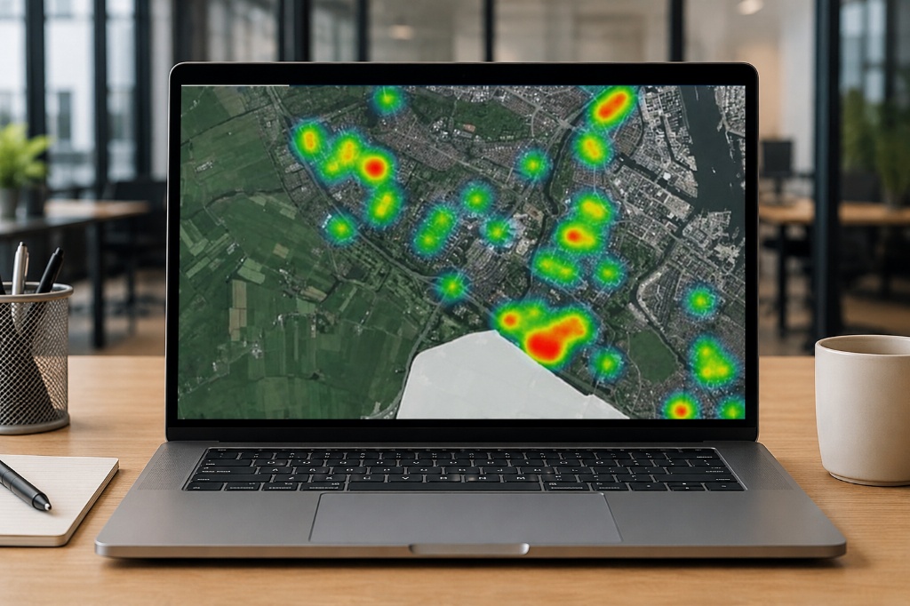
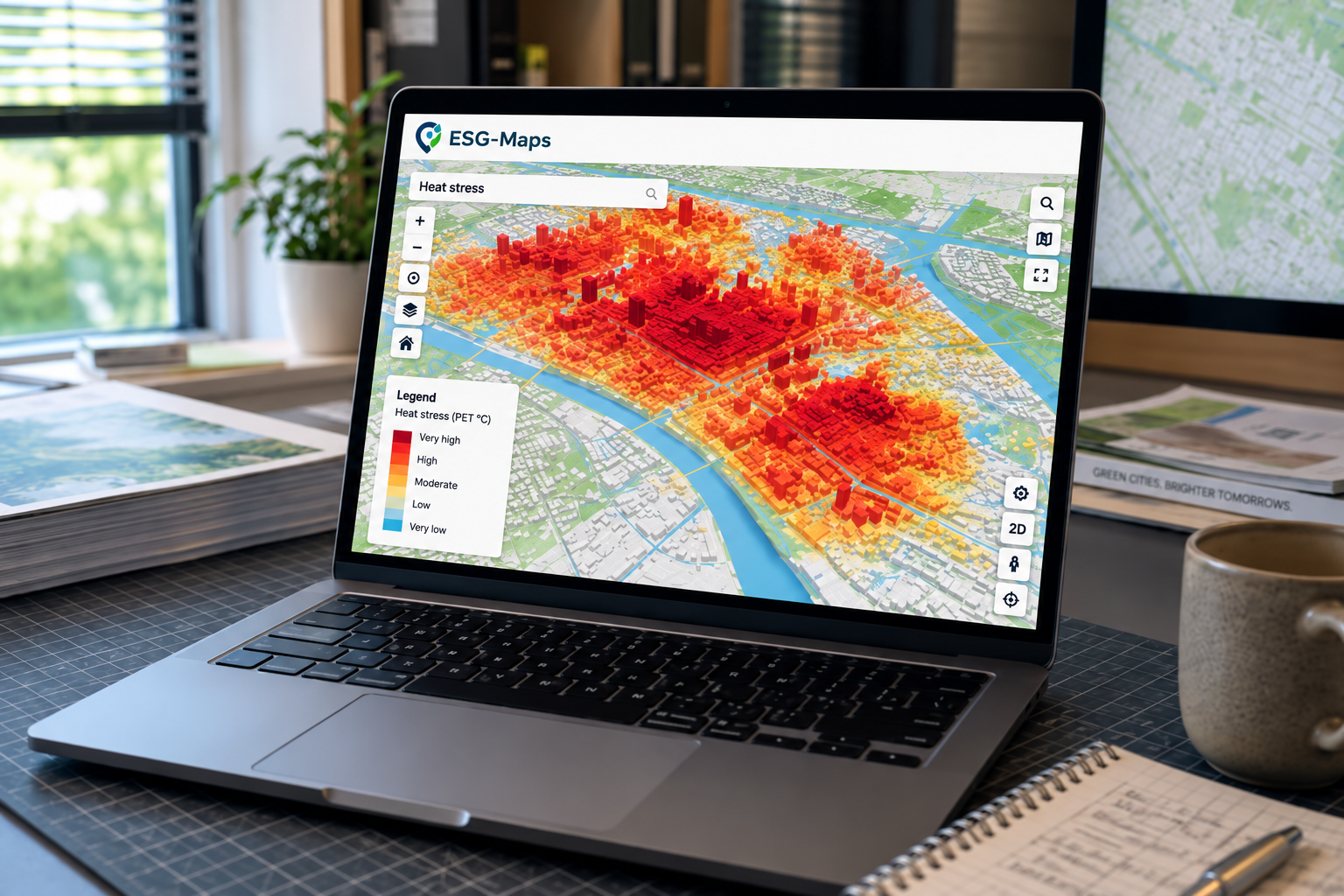
More neighbourhoods are experiencing heat stress, but the impact is not evenly distributed. Geospatial data and heat-stress maps help municipalities identify where cooling, shade and greening measures can make the greatest difference.

Spatial Heat Risk Analysis: Prioritising Cooling Where Heat and Vulnerability Overlap
Insights··ESG-Maps Team

Spatial Heat Risk Analysis: Prioritising Cooling Where Heat and Vulnerability Overlap

Urban heat risk is not determined by temperature alone. Spatial heat risk analysis combines heat, shade, green space, cool places and vulnerability data to help municipalities identify where residents face the greatest risk and where cooling measures may have the most impact.

Urban Heat Monitoring: From Heat Maps to Cooling Action
Insights··ESG-Maps Team

Urban Heat Monitoring: From Heat Maps to Cooling Action

A heat map can show where temperatures are high. Urban heat monitoring goes further by helping municipalities track whether cooling, greening and shade measures are actually improving neighbourhood conditions over time.

ESG Maps Pro Brings Solar and Energy Hub Insights to Drenthe Municipalities
News··ESG-Maps team

ESG Maps Pro Brings Solar and Energy Hub Insights to Drenthe Municipalities

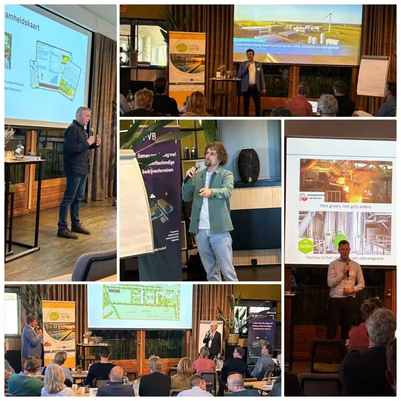
During the Province of Drenthe’s Inspiration Afternoon event on sustainable businesses and business parks, ESG Maps demonstrated how municipalities and park managers can use ESG Maps Pro to identify solar-suitable roofs, explore potential energy-hub locations and start conversations with entrepreneurs based on facts rather than assumptions.

From Data to Policy: Sustainability-as-a-Service for Municipalities
News··ESG-Maps Team

From Data to Policy: Sustainability-as-a-Service for Municipalities

Municipalities are increasingly moving from one-off sustainability maps to continuously managed data environments. Discover how Sustainability-as-a-Service connects current data, spatial analysis and policy in one structured approach.

Why Energy Insight Is No Longer a Luxury for Municipalities
Insights··ESG-Maps Team

Why Energy Insight Is No Longer a Luxury for Municipalities

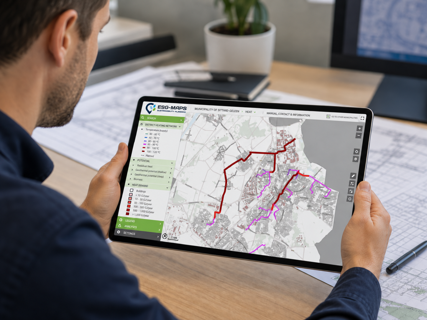
Municipalities already have large amounts of energy data. The challenge is turning it into a clear spatial picture that shows where progress is happening, where opportunities remain and where action should come first.

Without Sustainability Data, Policy Becomes Guesswork
News··ESG-Maps Team

Without Sustainability Data, Policy Becomes Guesswork

Sustainability data becomes truly valuable when it supports decisions. Discover how municipalities can use maps, dashboards and spatial analysis to identify priorities, monitor progress and strengthen sustainability policy.

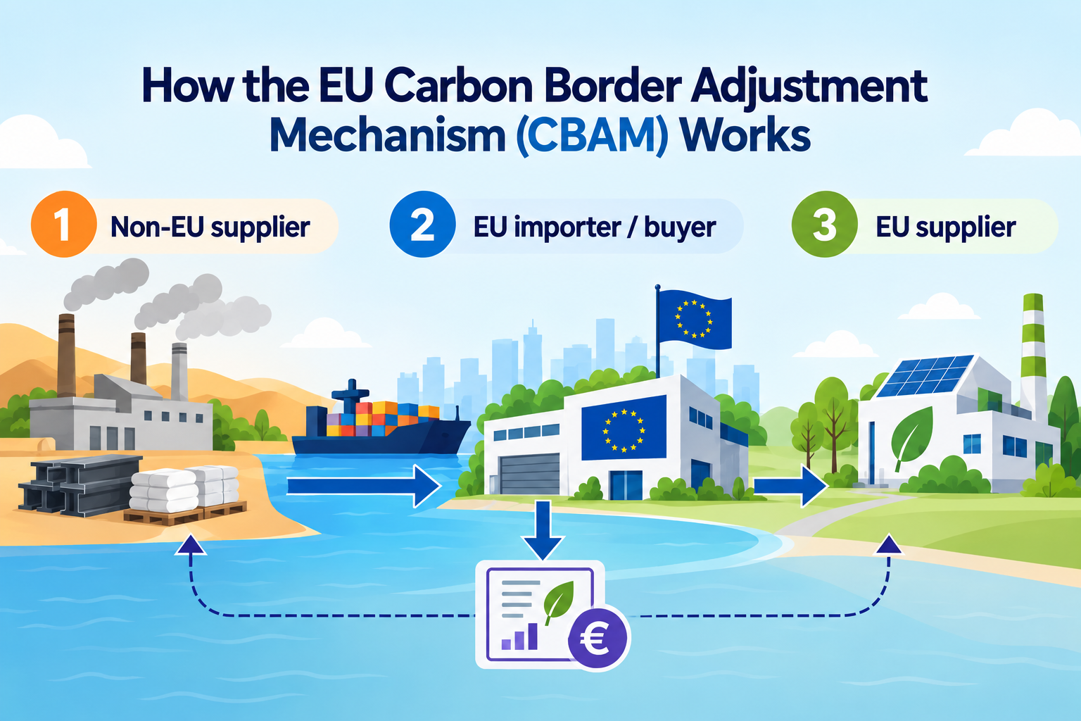
CBAM 2026: Why Location and Material Data Are Becoming Increasingly Important for CO₂ Reporting
News··Duurzaamheidskaart

CBAM 2026: Why Location and Material Data Are Becoming Increasingly Important for CO₂ Reporting

From January 1, 2026, the Carbon Border Adjustment Mechanism (CBAM) will be fully implemented within the European Union. For many organizations, this means stricter requirements for CO₂ transparency and reporting.

How Hengelo Used Data to Gain Better Insight into Urban Green
Insights··ESG-Maps Team

How Hengelo Used Data to Gain Better Insight into Urban Green

How can cities understand where urban green is improving and where attention is needed? Hengelo shows how spatial data can make green trends visible and support better-informed policy decisions.

How Data-Driven Green Planning Helps Cities Become More Resilient
News··ESG-Maps Team

How Data-Driven Green Planning Helps Cities Become More Resilient

Cities need clearer insight into green space, heat stress, biodiversity and climate risks. Discover how spatial data helps turn urban greening ambitions into measurable priorities and better-informed investments.

Solar Panel Growth 2025 Mapped: Highlights & Current Insights for Provinces and RES Regions
Solar insight·

Solar Panel Growth 2025 Mapped: Highlights & Current Insights for Provinces and RES Regions

Municipalities, provinces and RES regions need reliable and current insight into the progress of the energy transition. The annual analysis of solar panel development shows remarkable trends and regional differences.

How ESG Mapping Turns Sustainability Data into Clear Spatial Insight
Insights··ESG-Maps Team

How ESG Mapping Turns Sustainability Data into Clear Spatial Insight

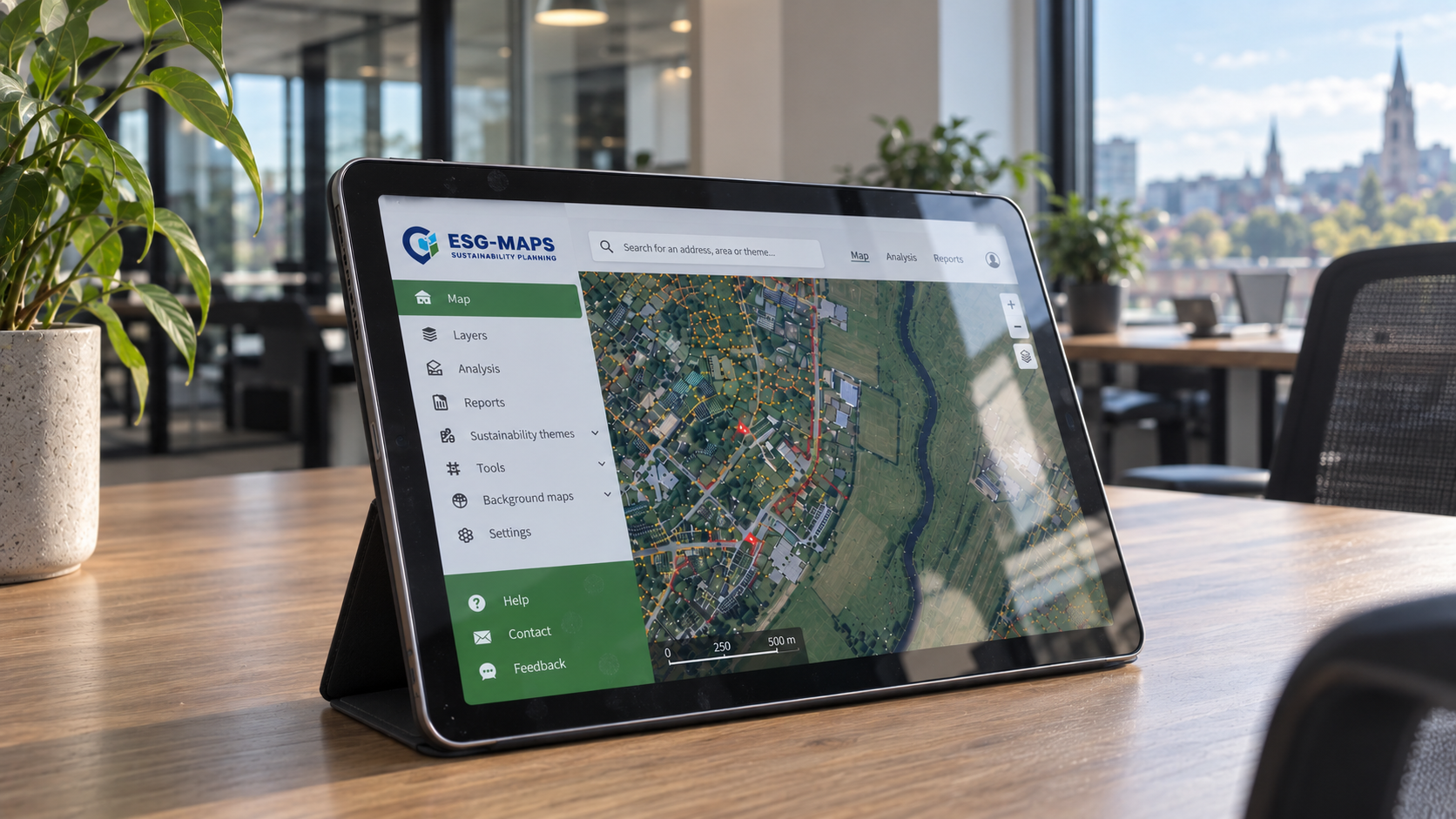
ESG data becomes more useful when environmental, social and governance indicators are connected to location. Discover how ESG-Maps helps organisations identify priorities, monitor progress and support clearer sustainability decisions.

Species Management Plan and Duurzaamheidskaart: Acceleration with Care for Nature
News··Duurzaamheidskaart

Species Management Plan and Duurzaamheidskaart: Acceleration with Care for Nature

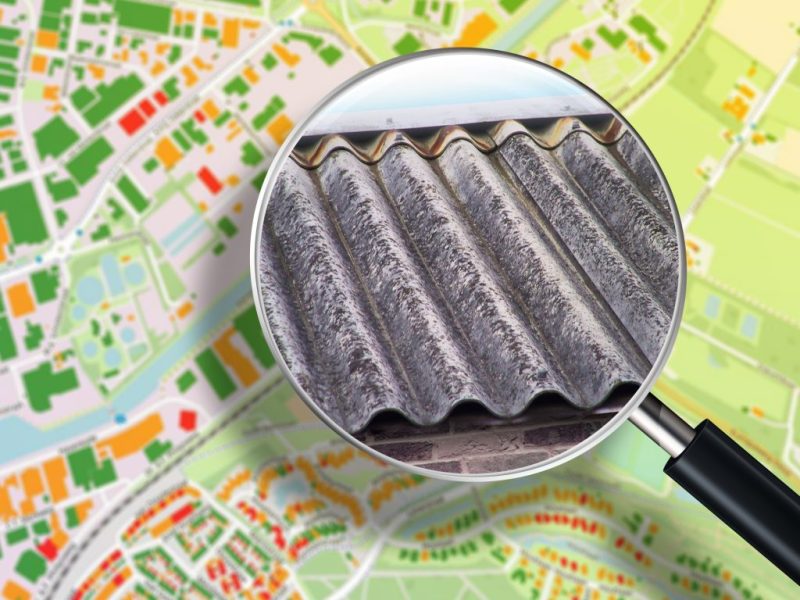
Municipalities and housing corporations face a double challenge: making homes sustainable while complying with strict nature legislation. Duurzaamheidskaart helps accelerate these processes with nature-friendly solutions.

Stay in the loop

Subscribe to our newsletter for updates on ESG Maps and sustainability data.

Contact

Want to know more?

Questions about our products? Looking for a demo or quote? Fill in the form and we will get back to you.

Fill out the form and we will contact you within 24 hours, or book .

info@mapgear.nl+31 570 746 070
Zutphenseweg 6
7418 AJ Deventer
Contact section background

Direct contact

How can we help you?