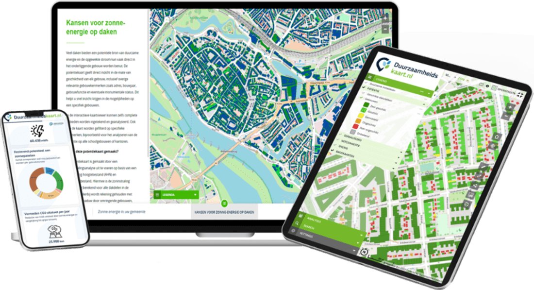
Well-founded advice with up-to-date maps and data
Up-to-date maps and data for well-founded advice and research
Climate, energy, green space and environment in one platform. Clear maps and reports for studies, reports and clients.
ESG Maps products are already used by:
Trusted by municipalities, provinces and organisations in the Netherlands and Belgium
























































Applications
How ESG Maps supports your organisation.
Well-founded advice for authorities
Consultancies and engineering firms support municipalities and water authorities with analyses and reports. ESG Maps delivers ready-made maps and indicators: climate risks, solar potential, heat options, green space and ecology. Export map images and data for reports, environmental impact assessments and advisory notes.
Research and monitoring
Research institutes and universities use ESG Maps for long-term monitoring of developments: solar panel growth, housing stock sustainability, climate adaptation progress. The data aligns with scientific questions and policy evaluations.
Presenting to clients
Present maps and insights during sessions with clients, in boardrooms or at residents' evenings. The Sustainability table offers a professional display for reports and workshop sessions. Integration with GeoApps for your own data and analyses.
Why ESG Maps?
Data for advice
Up-to-date maps and data for well-founded advice to clients.
Visualisation
Clear maps and reports for studies and reports.
Multiple themes
Climate, energy, green space and environment in one platform.
Experiences
For sustainability consultants
As a sustainability consultant, you can deliver analyses to municipalities on solar potential, heat options and climate adaptation and use ESG Maps as underpinning in advisory reports and environmental impact assessments.
For researchers
As a researcher, you can monitor the energy transition and sustainability for policy evaluation and scientific publications.
Relevant products
These ESG Maps products match your organisation type.
Climate Adaptation Monitor
Climate risks and adaptation.
Solar Insight
Solar energy and regional energy strategy.
Heat Insight
Heat sources and heat demand.
Green Insight
Biodiversity and green space.
Species Management Plan
Ecology and species.
Sustainability table
Present maps and reports to clients.
Participation & consultation
Engage stakeholders in plans and research.
GIS & GEO
Sustainability data in your GIS. Integration with GeoApps.
What do consultancy and research gain?
Focused on studies, reports and clients — not internal municipal monitoring.
Yes, when licence and data allow. The platform speeds visualisation and evidence so you spend less time redrawing.
Often yes: ESG-Maps is strong at communication and standard layers; your models stay leading for deeper analysis.
Consultancies serve changing clients. Emphasis is fast, reusable evidence and clear figures in reports.
Contact
Want to know more?
Questions about our products? Looking for a demo or quote? Fill in the form and we will get back to you.
Fill out the form and we will contact you within 24 hours, or book .