Our products
Data packages and modules for sustainability data, plus platforms for implementation, adoption and communication
ESG Maps products are already used by:
Trusted by municipalities, provinces and organisations in the Netherlands and Belgium
























































What is ESG Maps?
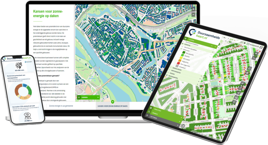
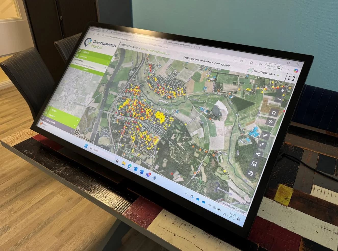
ESG Maps is an advanced data platform for sustainability analysis and spatial data visualisation. We provide analytics, dashboards and insights for municipalities, provinces and consultancies, from climate adaptation to the energy transition, making complex sustainability data clear and actionable.
Our solutions
Find the best fit for your organisation
Climate adaptation monitor
Monitor heat, drought and flood risk for effective climate adaptation.
Learn more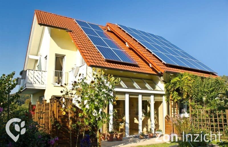
Solar energy
Solar potential, panel detections and RES monitoring by area for policy and reporting.
Learn more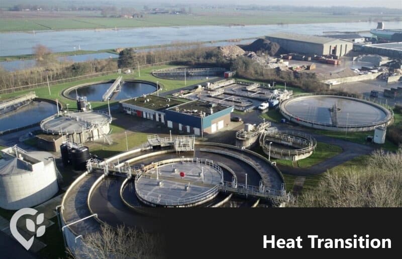
Heat insight
Analyse sustainable heat sources and plan gas-free heat networks.
Learn more
Urban heat islands
Reduce heat stress with cool routes, shade and neighbourhood green.
Learn more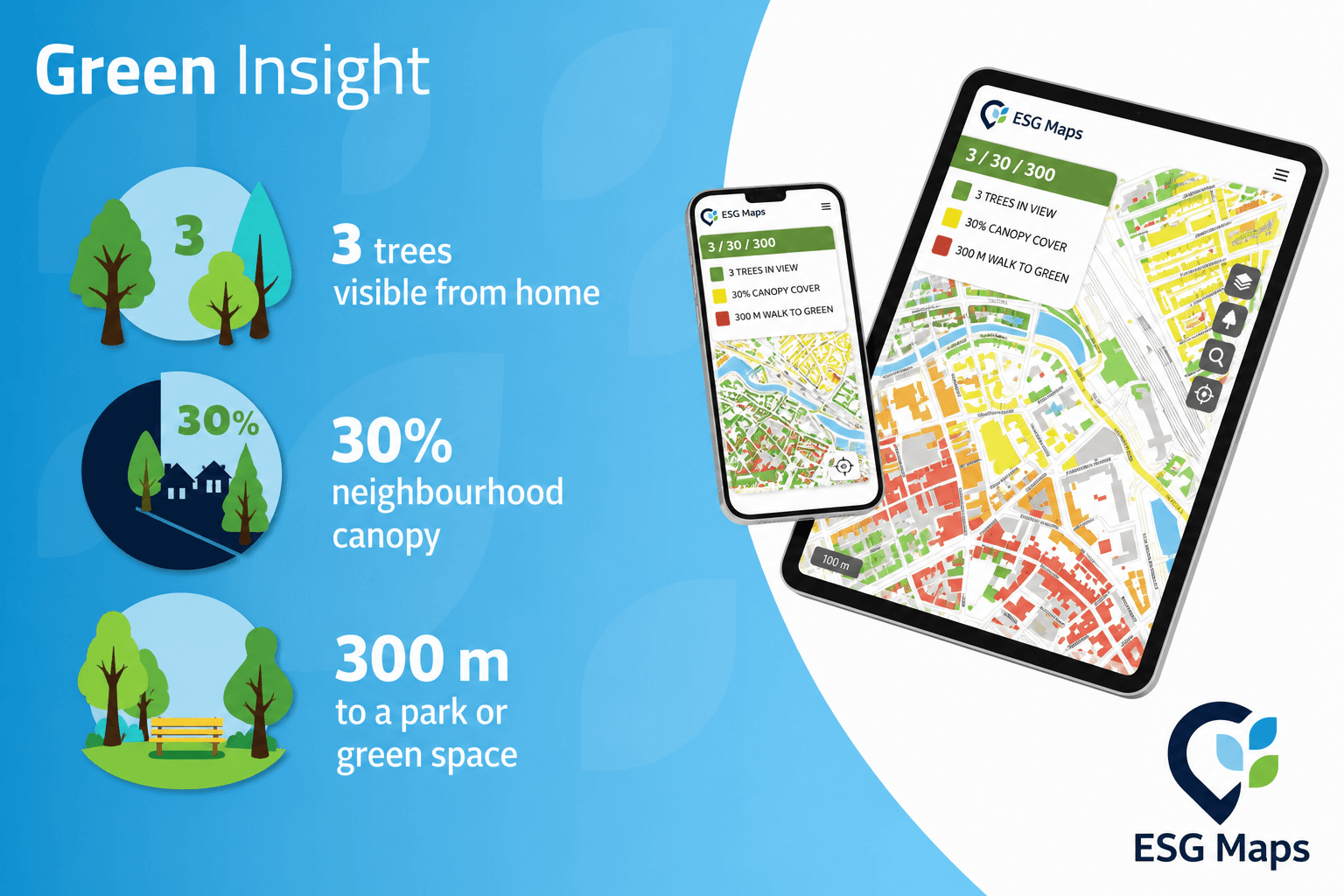
Green Insight
Monitor urban green and canopy cover for the Nature Restoration Regulation, liveability and climate adaptation.
Learn more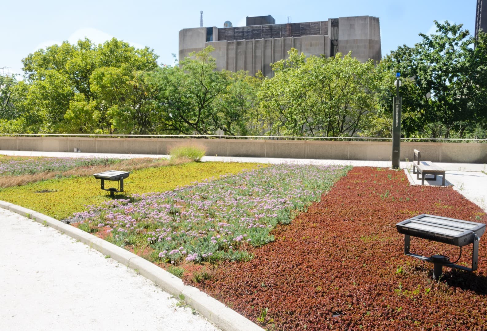
Green roof map
Green-roof potential per building for urban greening, water retention and climate adaptation.
Learn more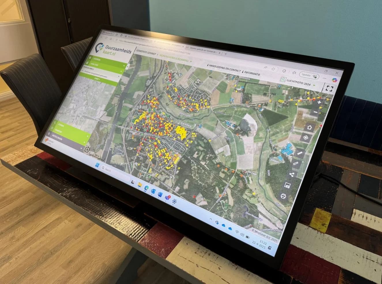
Asbestos roof map
Inventory asbestos roofs and coordinate safe retrofit projects.
Learn more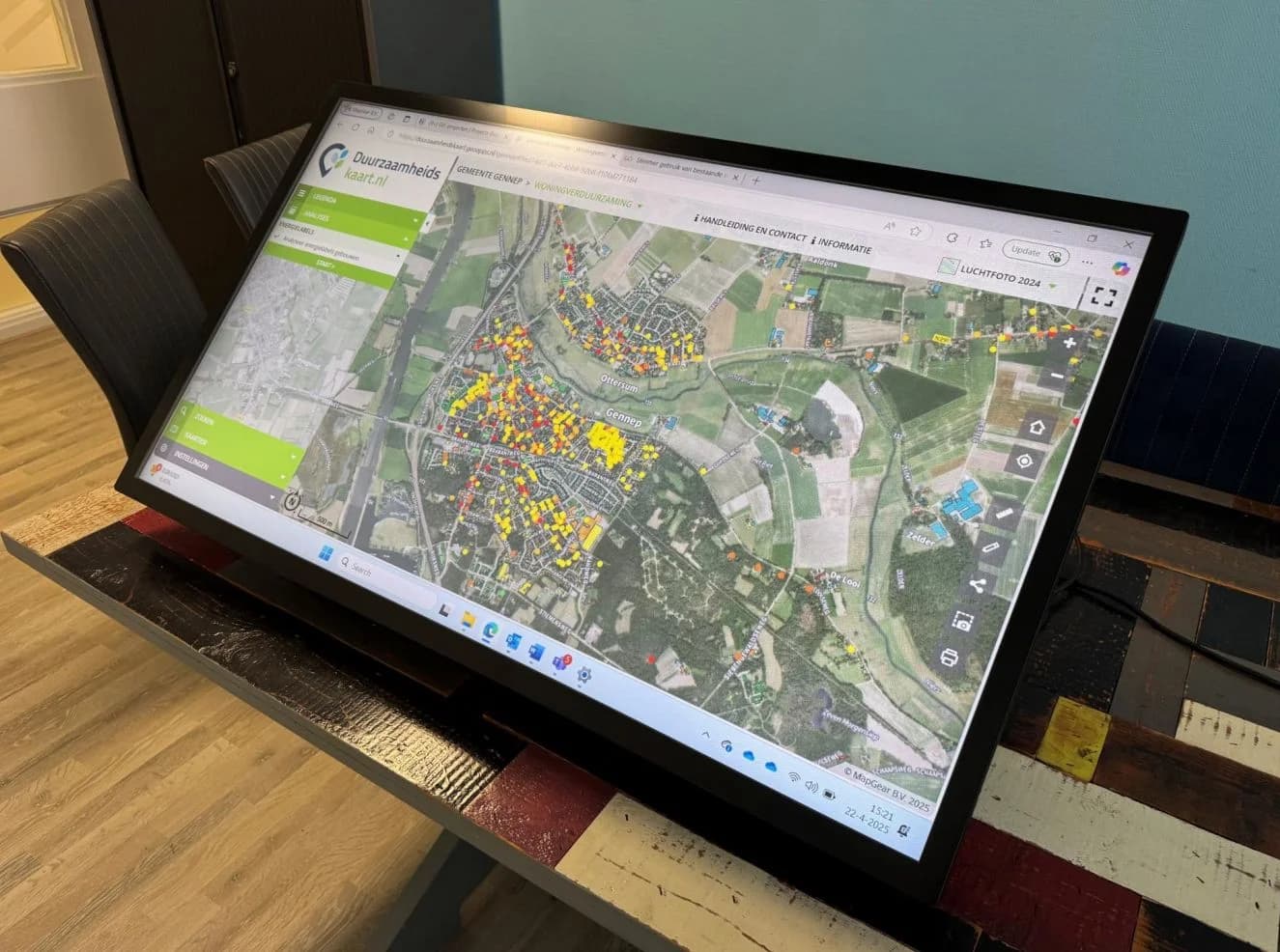
Species management
Map protected species for nature-friendly construction.
Learn more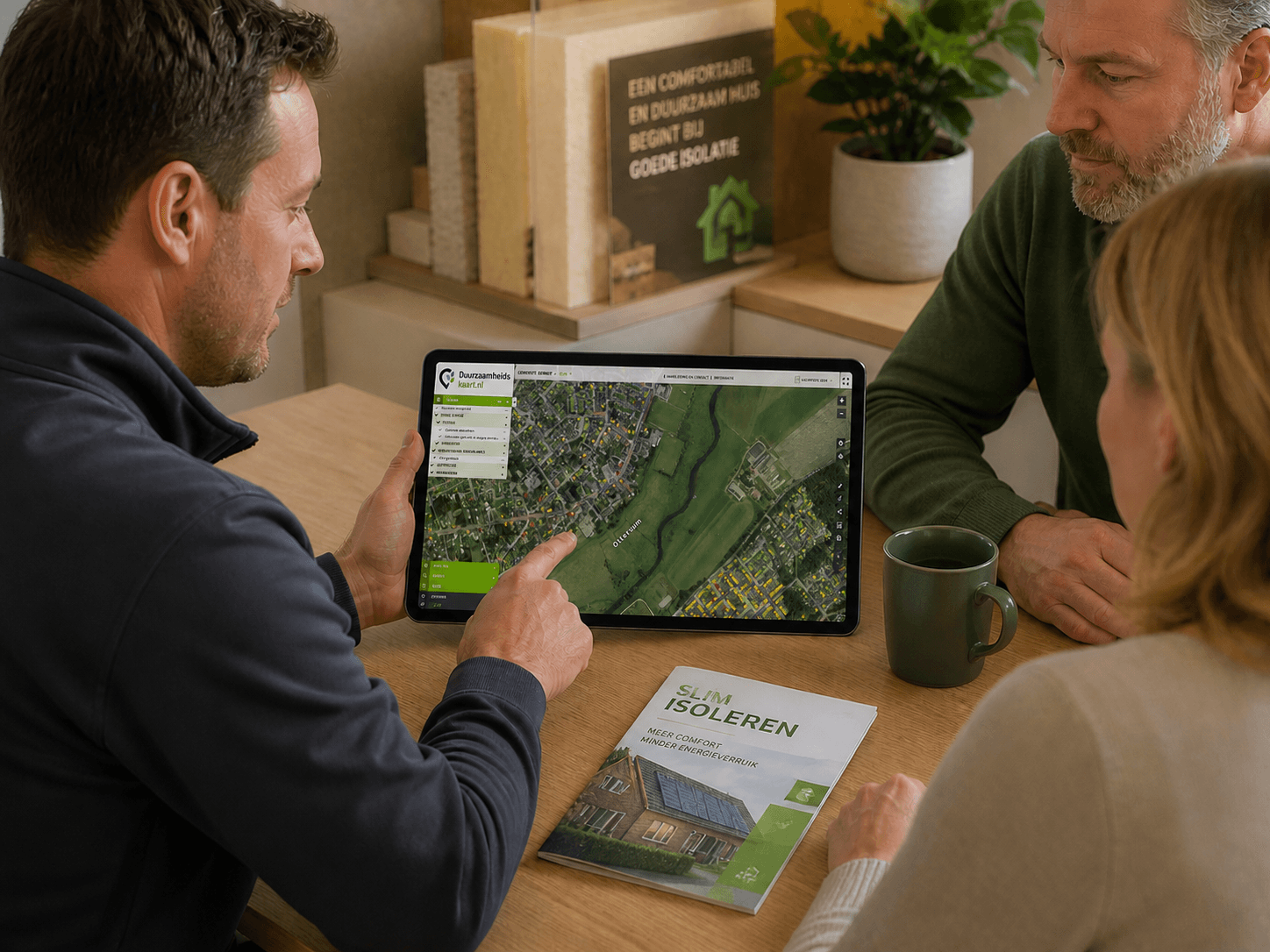
Home insulation
Analyse savings potential to prioritise insulation programmes.
Learn more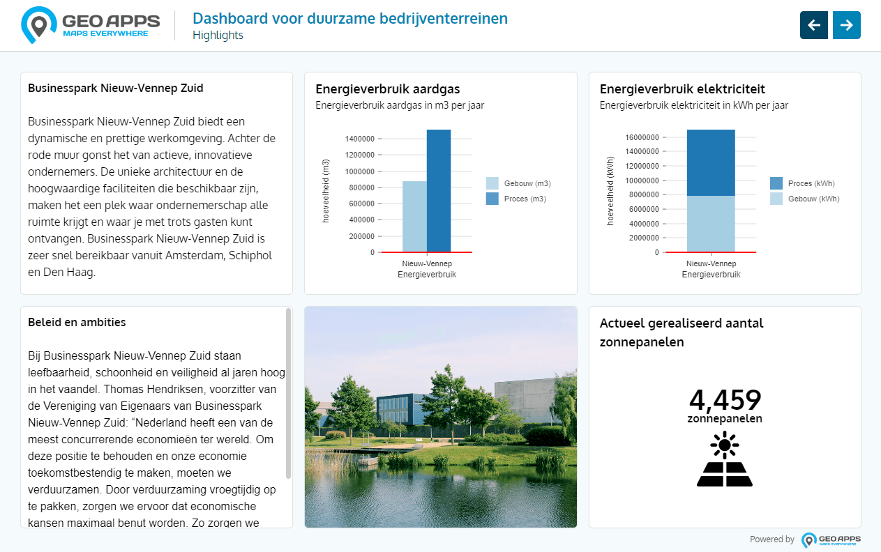
Collective energy projects
DICE dashboard for insight and progress on collective energy schemes.
Learn moreDICE , Collective Energy Projects Service
Partner
DICE (Collective Energy Projects Service): from grid congestion to collective action on business parks..
Learn moreFor implementation, adoption and communication
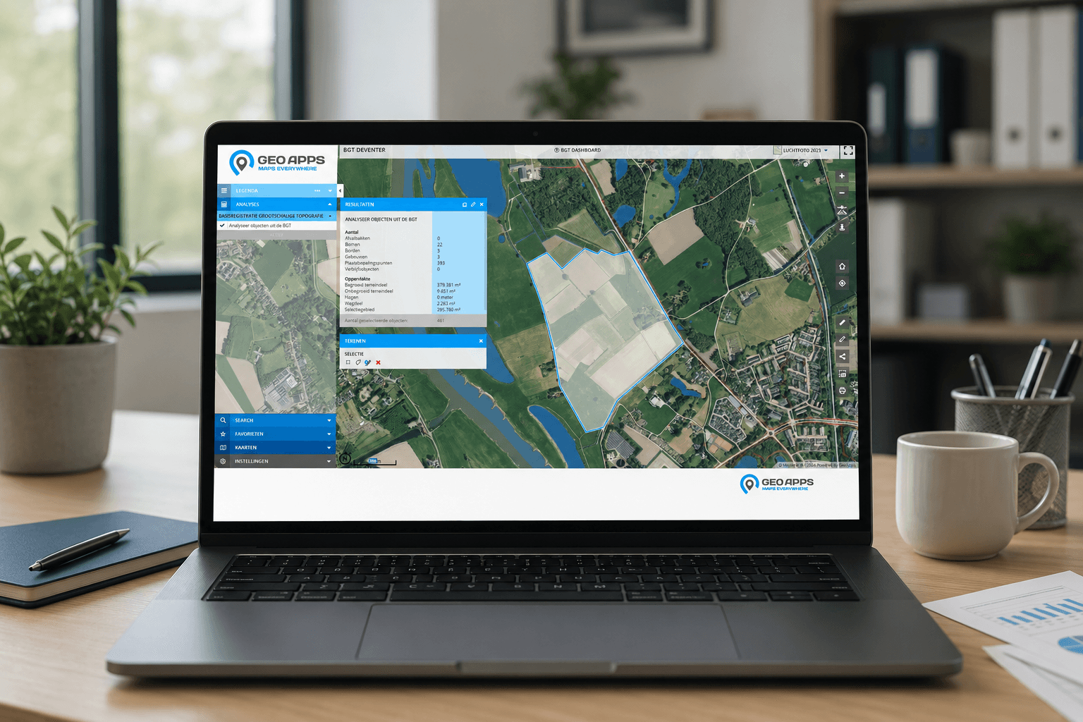
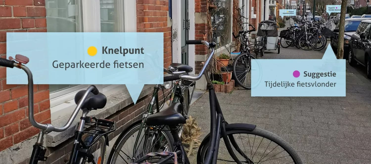
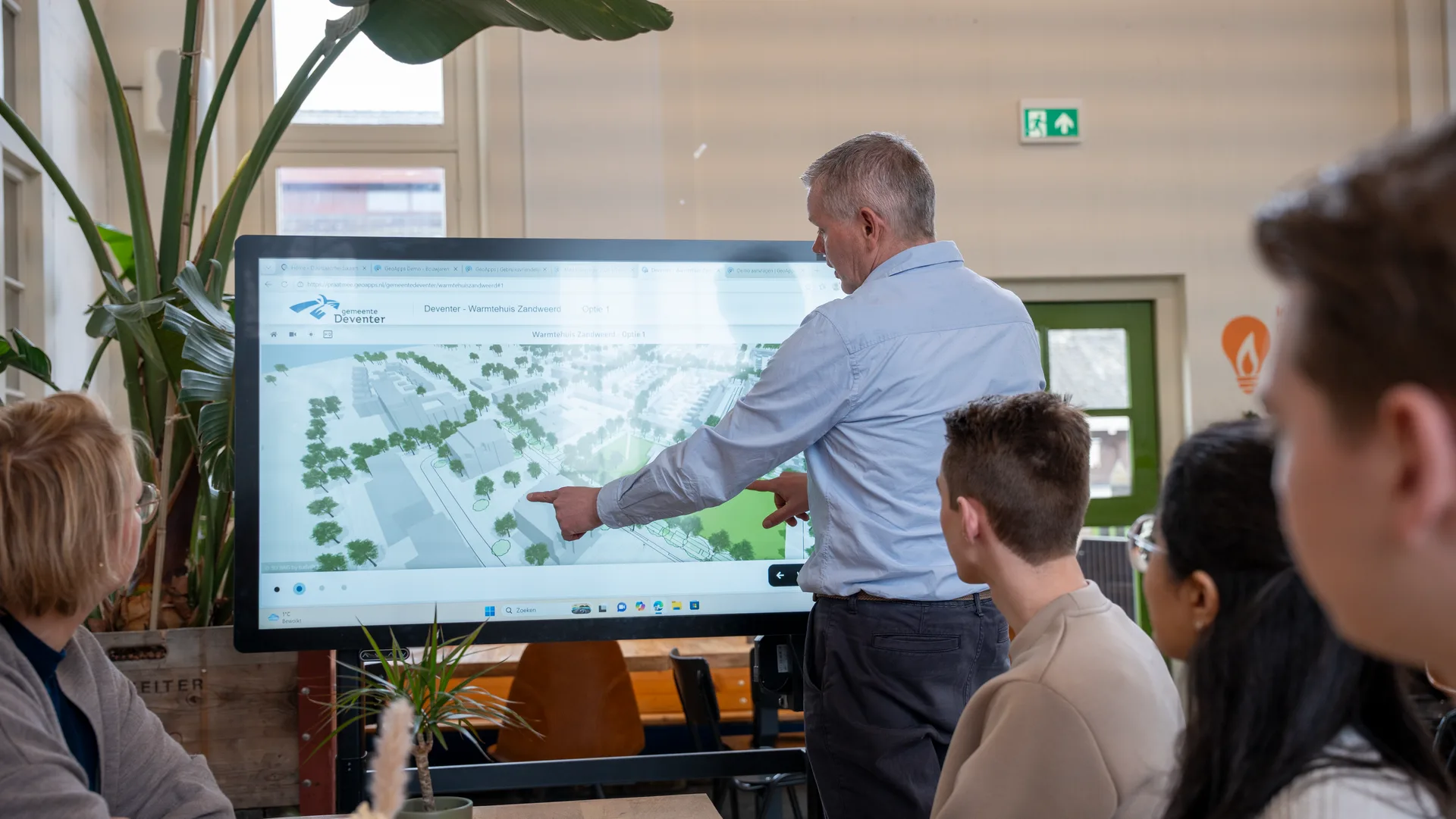
Sustainability Table, GeoApps and MapTalk help you put ESG Maps to work, for presentations, participation and integration in your processes.



Contact
Want to know more?
Questions about our products? Looking for a demo or quote? Fill in the form and we will get back to you.
Fill out the form and we will contact you within 24 hours, or book .