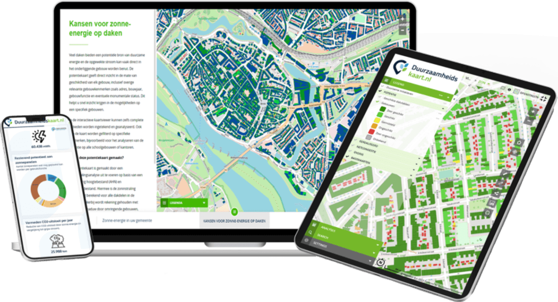
Water safety and availability at a glance
Drought, flooding and water quality in one platform
Drought, flooding and water quality in one platform. Work with municipalities and partners on integrated water management.
ESG Maps products are already used by:
Trusted by municipalities, provinces and organisations in the Netherlands and Belgium
























































Applications
How ESG Maps supports your organisation.
Drought, heat and flooding
Water authorities work on water safety and availability. The Climate Adaptation Monitor maps drought, heat and flood risks per area. Combine with your own water data in GeoApps for integrated water management.
Together with municipalities and partners
Share the same maps and reports with municipalities, provinces and other water partners. No duplicate systems – ESG Maps fits how you collaborate.
Your own water data in GeoApps
ESG Maps is built on GeoApps. Add your own GIS data – water quality, water levels, monitoring networks – and combine it with climate and environmental maps. One geo workspace for water management and reporting.
Why ESG Maps?
Water at a glance
Drought, flooding and water quality in one platform.
Climate adaptation
Risks and measures for water safety and availability.
Collaboration
Shared data with municipalities and partners for integrated water management.
“Calculations that used to take us a week are now done in minutes. That saves us enormous amounts of time and money.”
Experiences
For water policy officers
As a water policy officer, you can monitor drought, heat and flood risks with the Climate Adaptation Monitor and share maps with municipalities for integrated water management and crisis response.
For water safety project managers
As a water safety project manager, you can combine climate data with your own monitoring data in GeoApps and underpin dike reinforcements and water challenges with up-to-date maps.
Relevant products
These ESG Maps products match your organisation type.
Climate Adaptation Monitor
Drought, heat and flood risks.
Heat Stress Insight
Heat stress and cool spots.
Sustainability table
Present maps and data for executives and partners, live or online.
Participation & consultation
Engage residents and stakeholders on water and space.
GIS & GEO
Sustainability data in your GIS. Integration with GeoApps.
What does a water authority gain?
Focused on water, drought and municipal partnerships — not municipal RES monitoring.
Yes. Maps and indicators help share area risks and measures with municipalities and partners without forcing everyone into the same GIS project.
No. Water quality, water levels and climate risks can sit in one story, but we pick layers that match your operational question.
Water authorities work area-wide with different mandates. Emphasis is on water and climate risks in the management area, not neighbourhood greenery or asbestos roofs.
Contact
Want to know more?
Questions about our products? Looking for a demo or quote? Fill in the form and we will get back to you.
Fill out the form and we will contact you within 24 hours, or book .