“Developers invest a lot in greening, but it was hard to see what that actually delivered overall. With the new analysis we could draw up a concrete green balance for the first time.”
Species management on the map
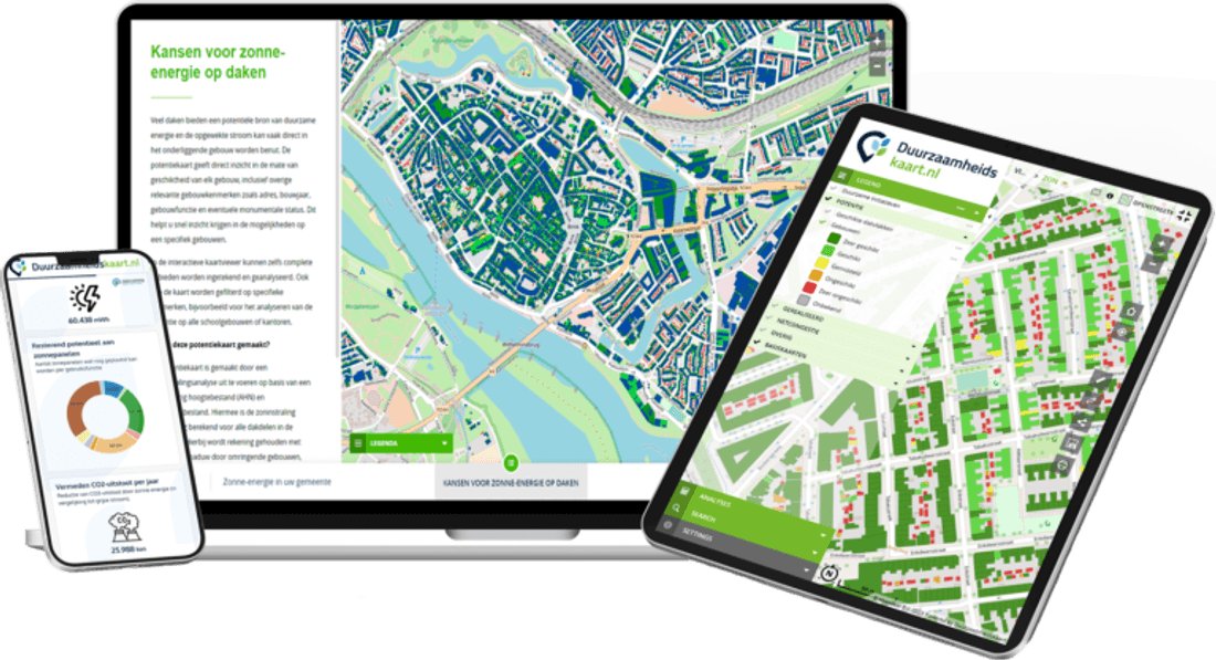
ESG Maps helps Dutch municipalities put ecological information next to insulation and solar-on-roof so a species management plan (SMP) is easier to discuss — the map does not write your permit or replace an ecologist.
More information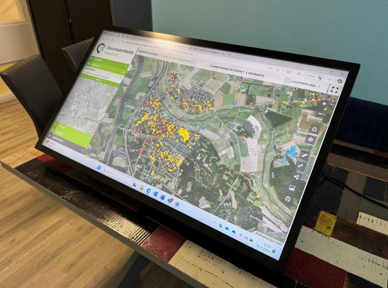
Trusted by municipalities, provinces and organisations in the Netherlands and Belgium























































Renovation, insulation and solar-on-roof often meet protected species such as bats, house sparrows and swifts. An area-wide species management plan can reduce separate permit tracks. The map makes locations and sustainability opportunities visible; ecology and permitting stay with specialists and the competent authority.
Context
Species and habitats
Sustainability
Roofs and renovation
SMP
Area-wide conversation
Less scatter
One viewer
Ecologists and permitting officers can see protected-species information per area alongside roofs that may be insulated or receive panels. That supports an SMP process. It is not real-time wildlife tracking and not automatic legal compliance.
Put species, habitats and planned interventions on one map so an SMP application and internal planning share the same picture. Delivery, monitoring counts and permit text remain the work of your ecological partner and the authority.
Municipalities and housing associations often face two tracks: make homes more energy-efficient and respect protected species. National and provincial schemes may support SMP development. ESG Maps is the spatial layer for that conversation, not a substitute for ecological research.
An SMP is a strategic plan in which a municipality or province sets out how protected species are handled during renovation and new build, often with an area-wide permit for several years. ESG Maps supports the spatial part. It does not grant permits or guarantee timelines.
Inventories, seasonal surveys and citizen science are organised by ecologists. The map can show and share what you already have.
Nest boxes, timing of works and compensation are decided in the SMP. The map helps locate where those measures relate to the building stock.
Population follow-up is agreed in the plan. The platform can hold maps and updates; it is not a live species dashboard.
Spatial support for an SMP. Not a legal compliance stamp, not automatic ecological reports, not a published municipal example on this page yet.
Bring available species and habitat information into the same viewer as your sustainability layers.
See roofs and renovation areas next to ecological context so insulation and solar are not planned blindly.
A shared map for municipality, housing association and ecologist. The competent authority still decides.
Species context sits in ESG Maps with green, heat and energy layers.
Current page
Species management sits in the ESG Maps platform next to insulation, solar and urban green, so nature-positive sustainability is not a separate silo.
Species Management Plan
Experiences from organisations working with ESG Maps.
“Developers invest a lot in greening, but it was hard to see what that actually delivered overall. With the new analysis we could draw up a concrete green balance for the first time.”

“Calculations that used to take us a week are now done in minutes. That saves us a huge amount of time and money.”

“We present our expertise as interactive map applications, not dry reports. Colleagues without technical knowledge can use them too - ESG-Maps is an essential foundation for policy-making.”
“ESG-Maps has helped us make sustainability data accessible to everyone. The platform combines powerful visualisation with an easy user experience.”
“Together with MapGear (ESG-Maps) we built a realistic solar potential forecast for Groningen in 2035 - combining data on roofs, heat pumps, electric driving and policy choices.”

“Together with MapGear (ESG-Maps) we developed the TransitiePlanner for energy, climate adaptation and mobility. We are building a dynamic dossier for sustainable business parks.”

“ESG-Maps has helped us plan and deliver our energy transition projects more efficiently.”
“With Asbestdakenkaart we finally have an overview of our asbestos data and remediation progress. One place to prioritise, monitor and report.”
“Developers invest a lot in greening, but it was hard to see what that actually delivered overall. With the new analysis we could draw up a concrete green balance for the first time.”
“Calculations that used to take us a week are now done in minutes. That saves us a huge amount of time and money.”
“We present our expertise as interactive map applications, not dry reports. Colleagues without technical knowledge can use them too - ESG-Maps is an essential foundation for policy-making.”
“ESG-Maps has helped us make sustainability data accessible to everyone. The platform combines powerful visualisation with an easy user experience.”
“Together with MapGear (ESG-Maps) we built a realistic solar potential forecast for Groningen in 2035 - combining data on roofs, heat pumps, electric driving and policy choices.”
“Together with MapGear (ESG-Maps) we developed the TransitiePlanner for energy, climate adaptation and mobility. We are building a dynamic dossier for sustainable business parks.”
“ESG-Maps has helped us plan and deliver our energy transition projects more efficiently.”
“With Asbestdakenkaart we finally have an overview of our asbestos data and remediation progress. One place to prioritise, monitor and report.”
Request a demo to see how ecological context and sustainability layers sit together. We do not claim a finished municipal SMP case on this page.
Answers about species management on ESG Maps.
No. An SMP is a formal plan with ecological research and a permitting track. The map helps you see species context next to renovation and solar-on-roof. Ecologists and the competent authority remain leading.
Especially for area-based sustainability (renovation, new build, solar-on-roof) where protected species may occur. It can reduce repeating the same spatial discussion per project. Whether an SMP is the right instrument is a legal and ecological judgement, not something the map decides.
National government and provinces sometimes offer support for municipalities developing an SMP. Check current schemes with those authorities. We can help you show the spatial picture in an application; we do not administer the subsidy.
Not yet on this product page. If you are working on an SMP and want maps in the same environment as insulation and solar, we are happy to walk through a demo on your area.
Contact
Questions about our products? Looking for a demo or quote? Fill in the form and we will get back to you.
Fill out the form and we will contact you within 24 hours, or book .