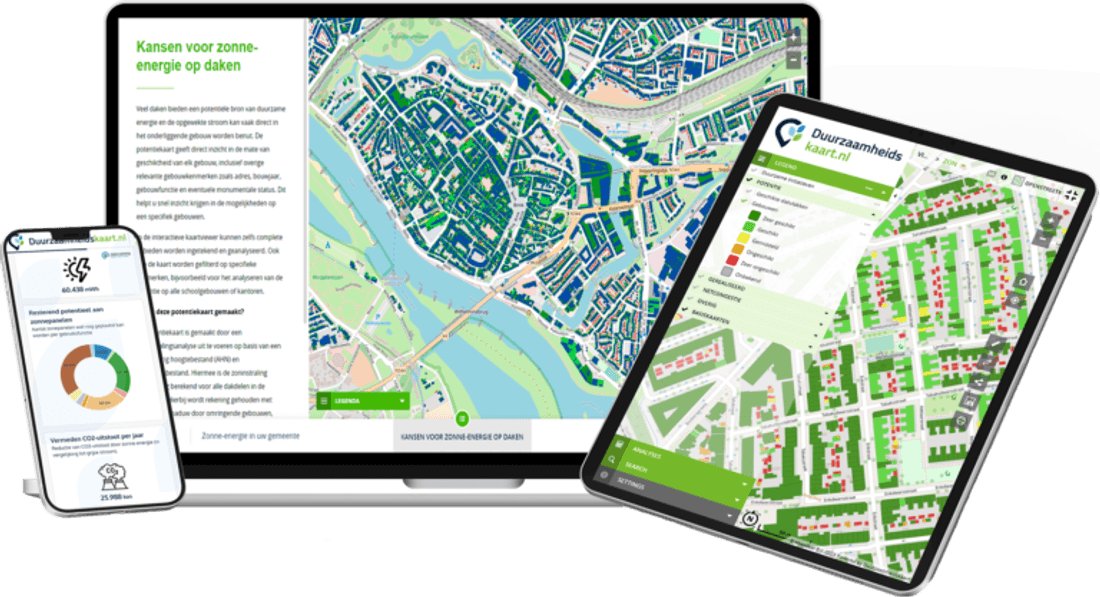
Integration in your workflows
GIS & GEO
Sustainability data in your GIS and GeoApps.
Connect ESG Maps and your data seamlessly to your GIS and map applications. WMS, API and GeoApps integration — one place for sustainability data in your geo workflow.
More information- WMS & API
- Export to your GIS
- GeoApps integration
We present our expertise as interactive map applications, not dry reports. Colleagues without technical knowledge can use them too - ESG-Maps is an essential foundation for policy-making.

Simon Bos
Syntraal (voormalig)
ESG Maps products are already used by:
Trusted by municipalities, provinces and organisations in the Netherlands and Belgium
























































Sustainability data in your GIS
One geo environment
View and analyse sustainability data alongside your own map layers and policy information. No switching between systems: everything in your trusted GIS environment.
Plan a demoCurrent data, your workflow
WMS, API and export to your preferred GIS. ESG Maps supplies the data; you keep working in ArcGIS, QGIS, MapInfo or your own GeoApps viewer. You can easily load your sources (WMS, WFS, GeoPackage or other open standards) into the platform.
Plan a demoIntegration with GeoApps
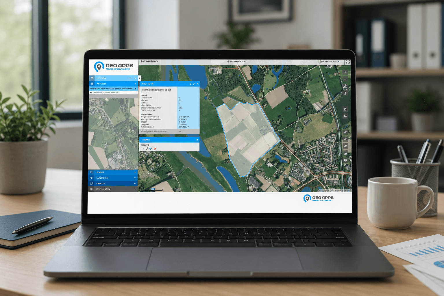
Our GeoApps solution makes connecting to your GIS straightforward. Maps, dashboards and reports where you need them, without double entry.
Plan a demoCurrent page
Fully integrated
GIS & GEO connects seamlessly to the ESG Maps platform, together with all your other sustainability data.
GIS & GEO
GIS & GEO your way
Contact us for a demo or to discuss how we connect your GIS and ESG Maps data.
Contact
Want to know more?
Questions about our products? Looking for a demo or quote? Fill in the form and we will get back to you.
Fill out the form and we will contact you within 24 hours, or book .