GIS is already essential to many organisations. The more important question is whether the architecture around it still gives teams enough flexibility, interoperability and control.
Over time, applications, workflows and datasets can become tightly connected to one vendor or technology. That may have worked well initially, but changing licence models, specialised dependencies and new user requirements can make the environment harder to adapt.
Rethinking GIS does not mean replacing everything. Instead, it means identifying which components still add value, where unnecessary dependencies have developed and where more open technology could create greater freedom.
When changing one tool affects everything else, flexibility starts to disappear
GIS environments built around a single ecosystem can gradually become difficult to change. Data, applications, specialist knowledge and integrations may all depend on the same technology.
The impact goes beyond licence costs. Strong vendor dependency can also make it harder to introduce new tools, connect systems or give different user groups access to spatial information in the way that suits their work.
A useful GIS review therefore looks at more than individual software products. It asks how easily data can move between systems, which workflows rely on proprietary technology and how much control the organisation retains over future choices.
Your data should connect your GIS environment, not lock it together
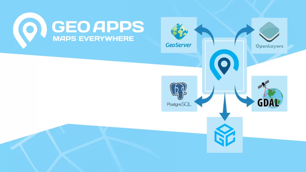
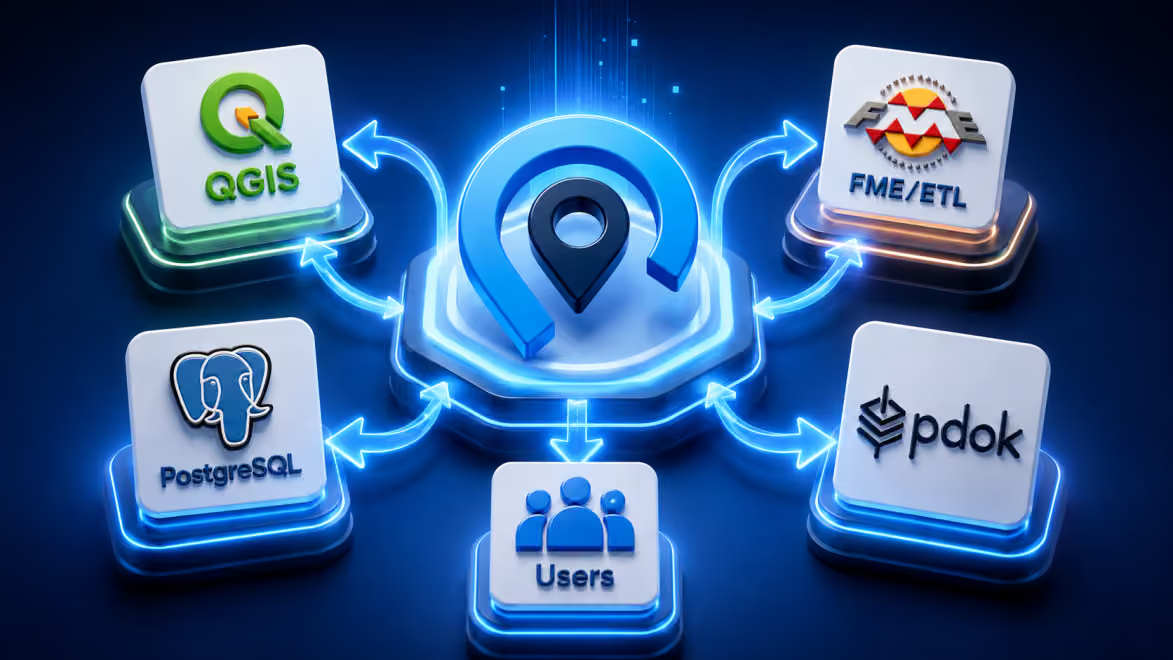
Open standards make it easier for different GIS tools and platforms to work together. Data can remain accessible across desktop GIS, databases, web applications and external systems without forcing every workflow into one environment.
This also creates room to modernise gradually. Instead of rebuilding the entire GIS stack, organisations can improve individual components while keeping authoritative data sources and existing systems that still provide value.
For example, QGIS can continue to support specialist analysis, editing and data management, while GeoApps makes maps, datasets and analyses accessible through web applications for policy teams, project managers, field staff and other users.
Not every user needs a full GIS. They need the right information for their work.
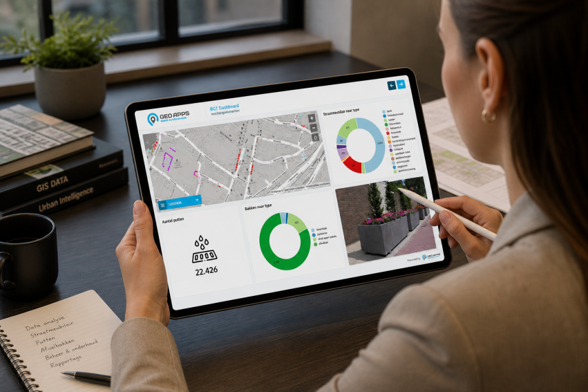
GIS specialists need powerful tools. Most other employees do not need the same interface, licences or technical training just to view a map, check project information or work with spatial data.
Separating specialist GIS work from everyday access allows each tool to focus on what it does best. Technical teams can retain advanced desktop functionality, while other users work through simpler viewers, dashboards, fieldwork tools and targeted applications.
As a result, reviewing the GIS environment becomes less about choosing a single replacement platform and more about deciding which technology belongs where.
The goal is not to replace what works. It is to create room for what comes next.
A practical GIS review should begin with the existing architecture. Which licences are actually being used? Where are teams maintaining duplicate datasets? Which workflows depend on custom integrations? Which users genuinely need specialist GIS functionality?
From there, organisations can decide which components should stay, which can be simplified and where open standards or alternative technologies could reduce unnecessary dependency.
GeoApps can be introduced alongside existing databases, services and specialist GIS software rather than requiring an immediate migration of the entire environment. This makes phased modernisation possible while preserving systems that continue to deliver value.
A flexible GIS architecture is ultimately one that can evolve as technology, budgets and user needs change.
Does your current GIS environment still give your organisation enough freedom to adapt?