When your GIS platform starts limiting innovation
Many organizations still rely on GIS environments that have served them well for years. As organizations grow, however, expectations change. More departments need access to spatial information, collaboration becomes increasingly important and data must be easier to share across teams.
Legacy GIS environments often struggle to support those changing requirements. Closed software ecosystems, expensive licensing models and complex management can slow innovation instead of enabling it. As a result, more organizations are choosing an open GIS strategy that offers greater flexibility and long-term scalability.
Why organizations are embracing open GIS
Open GIS is about far more than replacing proprietary software.
Organizations want the freedom to choose the tools that best support their workflows, integrate existing systems more easily and maintain full control over their spatial data. Open platforms also make it easier to expand GIS capabilities over time without being constrained by closed software ecosystems.
This flexibility enables organizations to continuously adapt their GIS environment as projects, processes and business requirements evolve.

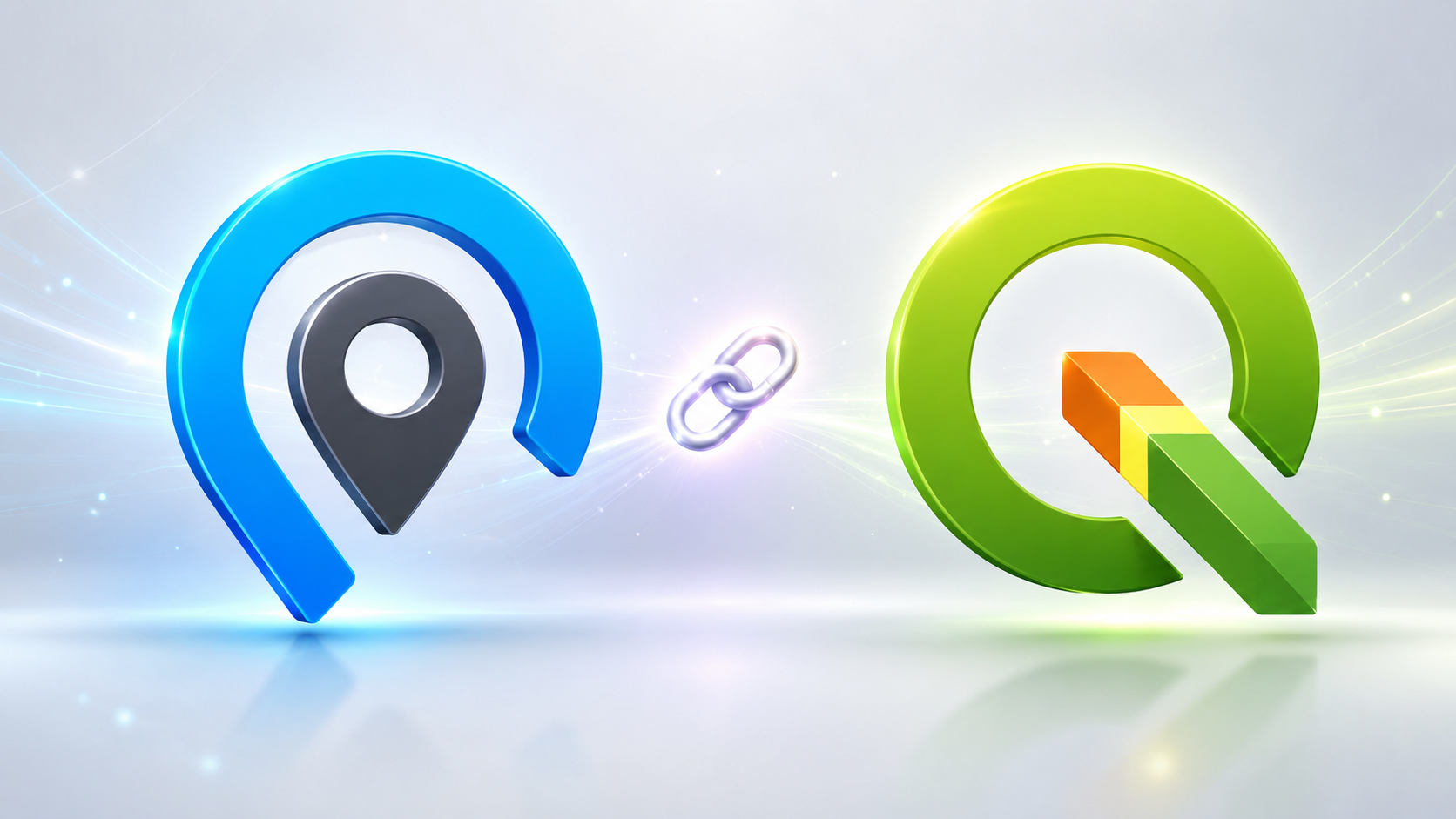
The combined power of QGIS and GeoApps
QGIS has become one of the world's leading open-source desktop GIS platforms, providing advanced tools for spatial analysis, editing and data management. Combined with GeoApps, organizations gain a complete WebGIS environment that connects powerful desktop GIS with intuitive web-based collaboration.
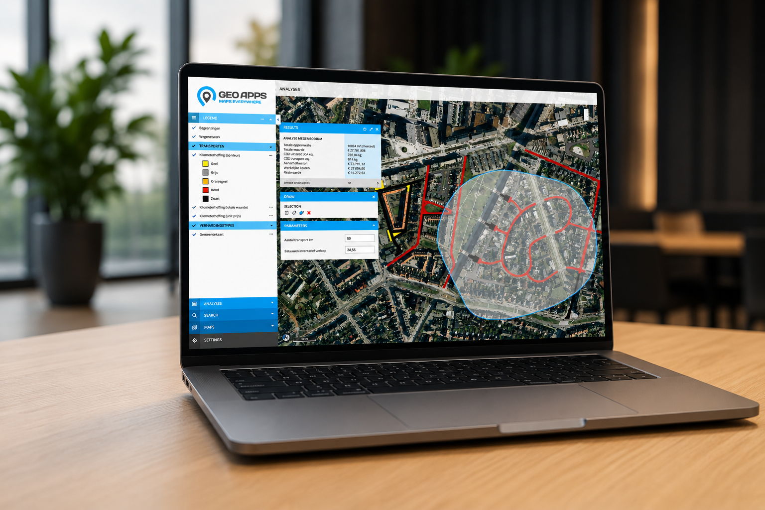
The GeoApps QGIS plugin enables users to publish maps faster, synchronize datasets more efficiently and manage updates with fewer manual steps. At the same time, GeoApps makes maps, dashboards and spatial information accessible to colleagues across the organization, including users without specialist GIS knowledge. The result is one connected GIS environment where desktop workflows and WebGIS complement each other seamlessly.
More than lower licensing costs
Many organizations initially consider QGIS because it is open source. In practice, however, the biggest advantages often extend far beyond software licensing.
An open GIS platform simplifies collaboration, accelerates map publishing and makes it easier to connect GIS with other business systems. Teams spend less time managing software and more time using spatial information to support projects, planning and informed decision-making. Rather than limiting innovation, GIS becomes a platform that enables it.
Supporting organizations across multiple sectors
QGIS and GeoApps are used by organizations that rely on spatial information every day, including:
Municipalities
Provinces
Engineering consultancies
Environmental agencies
Water authorities
Nature conservation organizations
Infrastructure and utility companies
Although each organization has different objectives, they all benefit from a flexible GIS platform that adapts to changing business needs while making spatial information easier to manage and share.
Build a GIS environment that grows with your organization
A future-ready GIS platform is not defined by the amount of software it contains. It is defined by how effectively it supports the people who depend on it every day.
By combining the analytical capabilities of QGIS with the collaborative power of GeoApps, organizations create a WebGIS environment where maps, data and workflows come together in one connected platform. Spatial information becomes easier to access, collaboration improves across departments and organizations remain free to develop their GIS strategy without being tied to proprietary software.
Instead of maintaining isolated GIS environments, teams gain a scalable platform that is ready for future challenges.
Discover how QGIS and GeoApps can help your organization simplify GIS management, improve collaboration and build a future-ready WebGIS platform.
👉 Request a demo and explore how GeoApps can support your GIS strategy.


