
Interactive tools for spatial plans and collaboration
Discover how GeoApps helps organizations optimize their operations

Digital spatial plans and projects for efficient municipal management and stakeholder collaboration.

Interactive area development and scenario planning for regional development projects.

Discover how GeoApps helps communication and research agencies with research, journalism, stakeholder engagement, and project communication with advanced geospatial solutions.

Collaborative stakeholder engagement and feedback collection for construction projects.


Streamline the process of planning and developing.
Involve stakeholders and residents in an accessible way.
Reduce time and costs in preparation and execution.
Collaborate on plans and projects for urban and regional development – fully digital and interactive.

Actively involve residents, partners, and other stakeholders in your plans and projects.

Support the development of visions and plans with data-driven GIS solutions. Bring space, nature, and quality of life together in interactive maps, scenarios, and 3D visualizations.

Streamline zoning, permits, and reviews with clear maps and workflows that connect policy, plans, and local rules.

"Thanks to GeoApps, we have all the data and maps for each district in one place. We can visualize and share our spatial challenges directly, which makes the decision-making process with colleagues and partners much faster and more transparent."

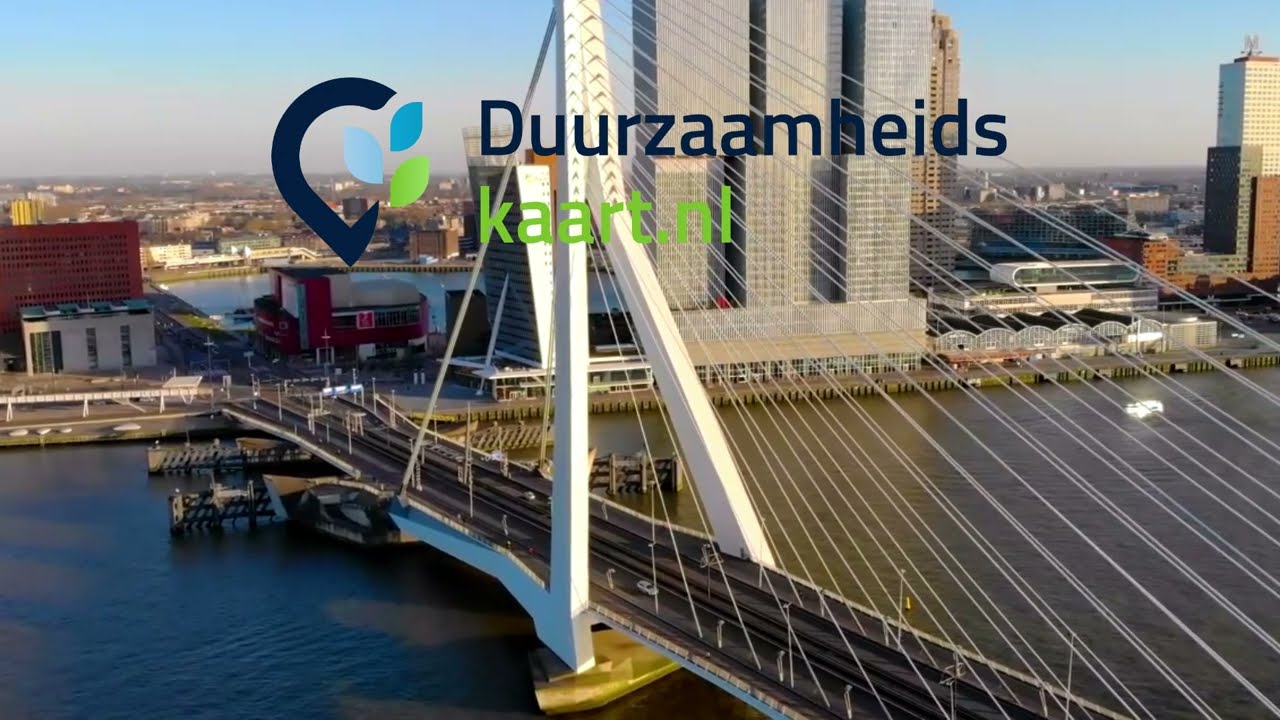
See how the City of Rotterdam brings all district data, maps, and duurzaamheidskaarten (sustainability maps) together with District Atlas for faster, more transparent decisions.
Please accept cookies to play this video
Discover our apps that perfectly complement this solution
Discover the possibilities of GeoApps for plans, data, and collaboration today.


Answers about data, collaboration and implementation for urban workflows.