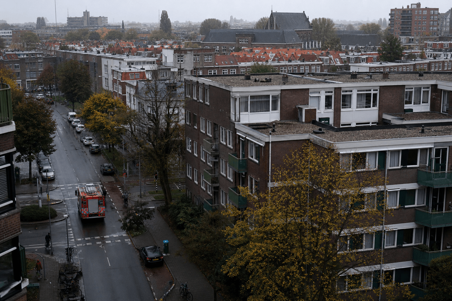
How GeoApps GIS solutions help with safety and risk — incidents, risk maps, accessibility maps and a shared operational picture.
Municipalities, safety regions and environmental agencies share one operational picture for incidents and risk.
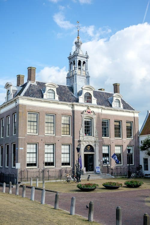
Emergency response and crisis management for municipal safety operations.


Coordination of safety operations and crisis management with real-time geodata.
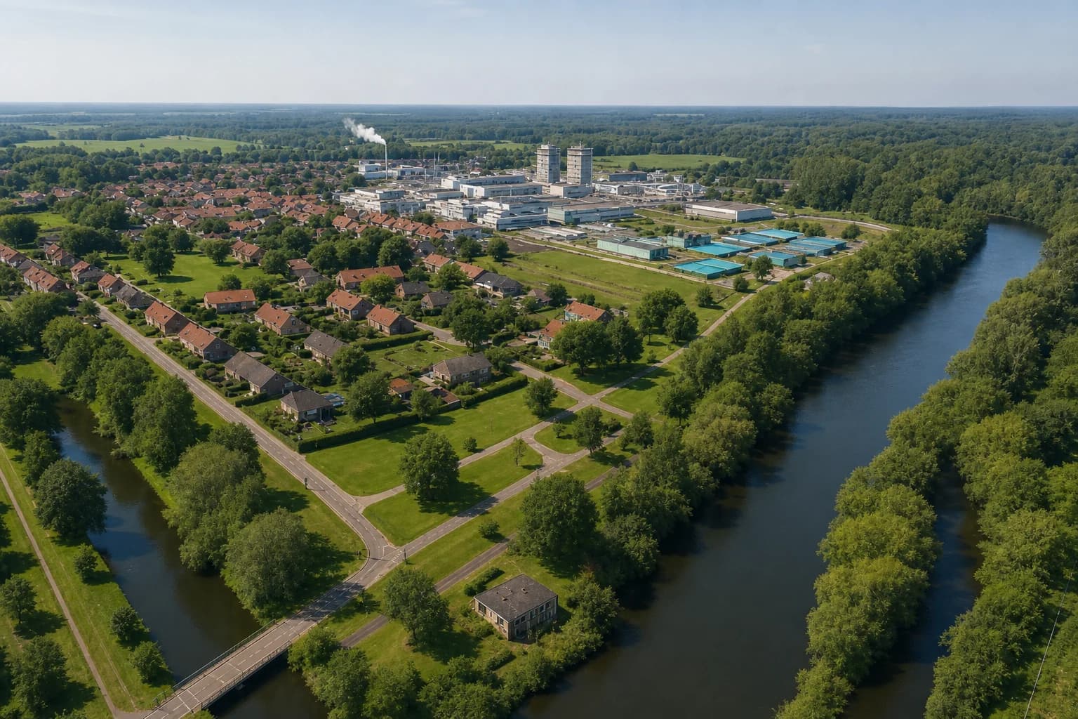
Enforcement and environmental risk management for a safe living environment.










































Improved situational awareness and faster decision-making in incidents and crises.
Efficient coordination of safety operations with real-time geodata and workflows.
Proactive identification and management of safety risks with spatial analyses.
Support incidents and crisis management with current geodata, 3D insight, and reliable continuity.
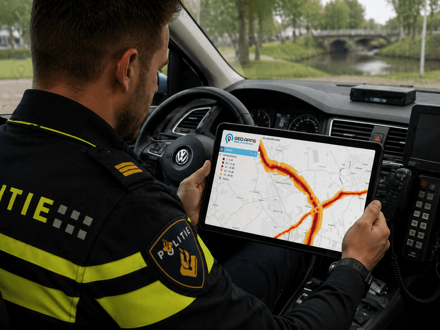
Track and manage safety incidents in real-time with location-based reporting and automated workflows.
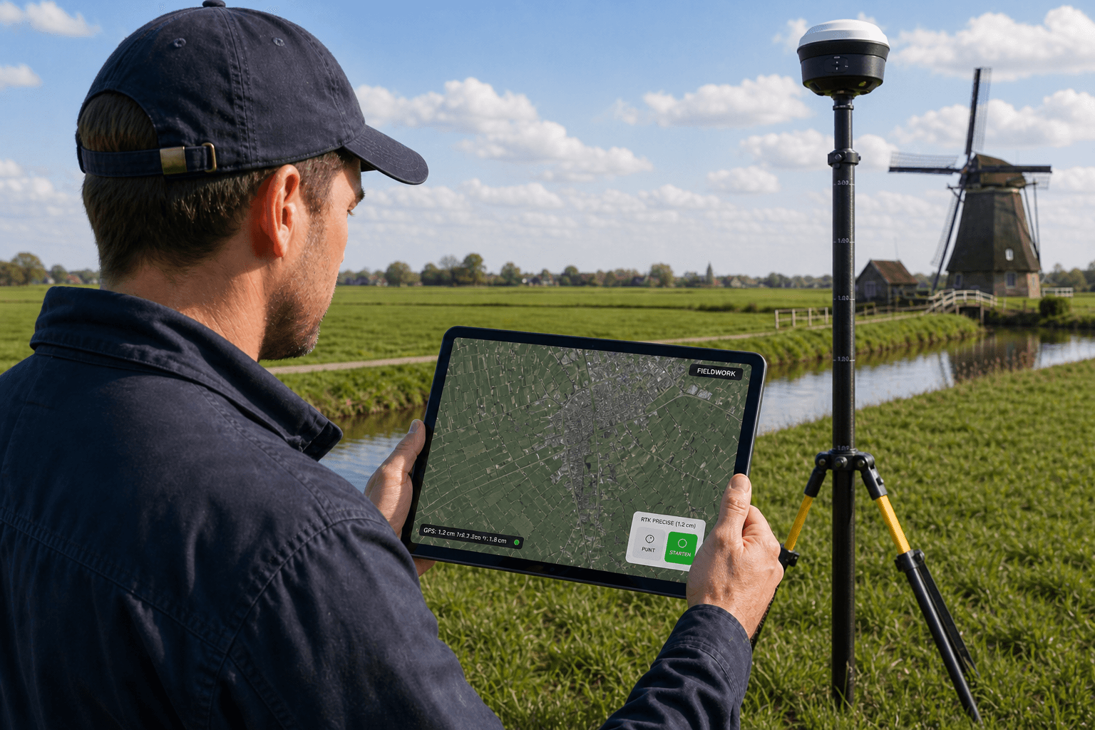
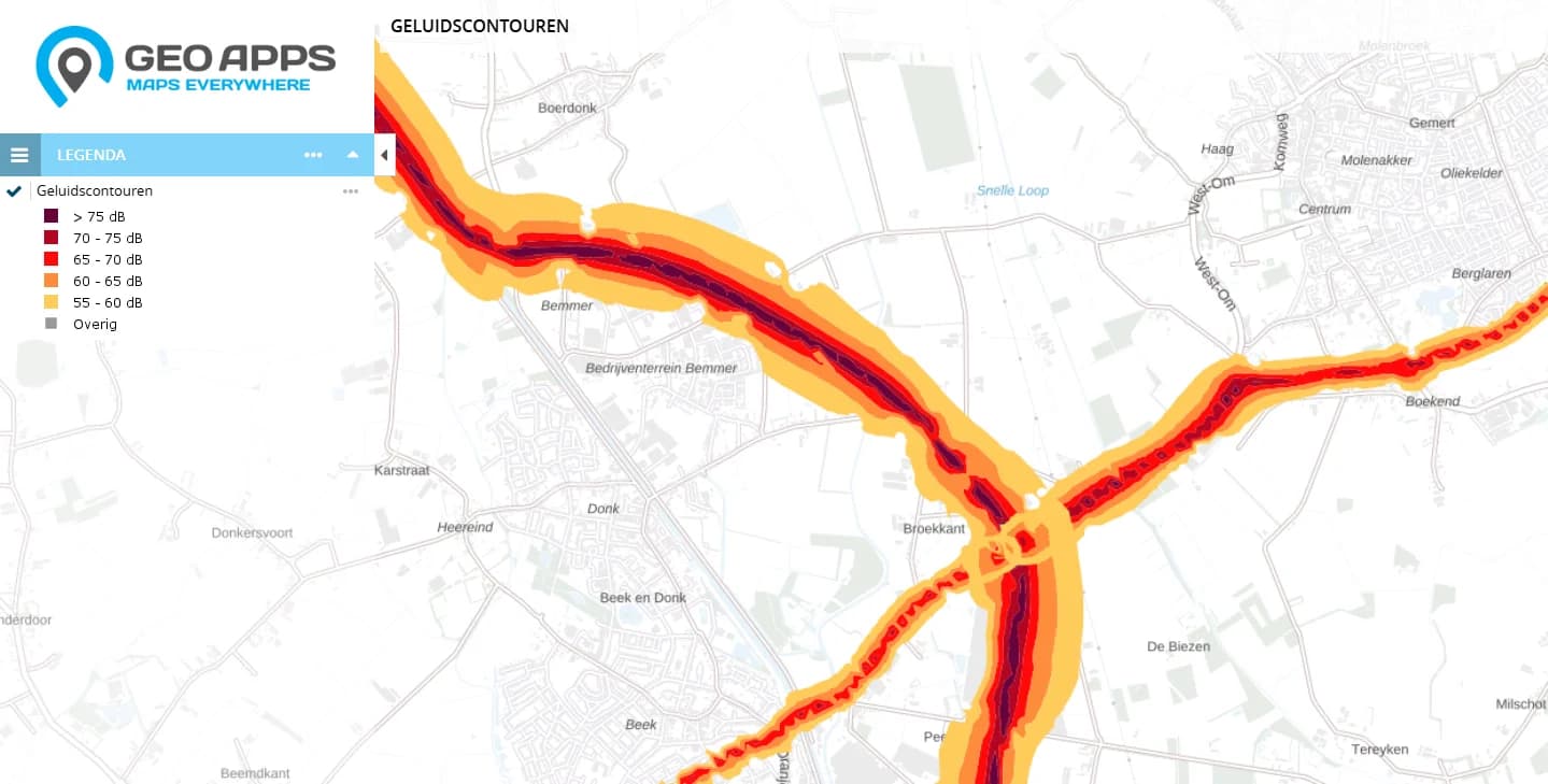
Identify and analyze safety risks using spatial data, historical incidents, and predictive modeling.
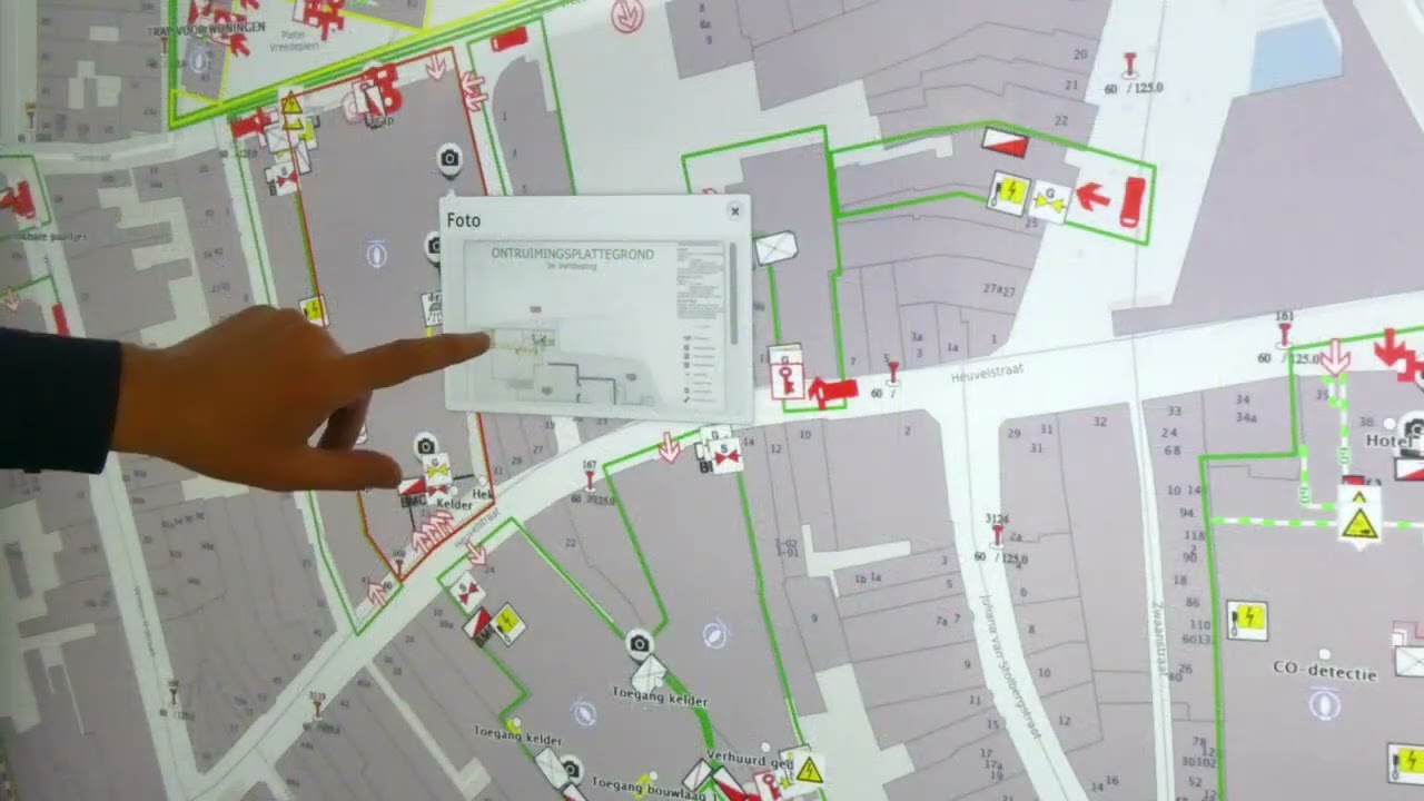
Combine real-time vehicle positions, spatial analyses, asset management and floor plans on one map for faster situational awareness in safety and enforcement.
Please accept cookies to play this video
Our powerful tools are designed for direct use by your team, even without specialized knowledge, and function quickly and reliably – even in crisis situations:

"GeoApps offers our environmental agency a reliable and user-friendly platform that strengthens and improves our enforcement processes. We are very satisfied with the collaboration."
Discover our apps that perfectly complement this solution
Plan a personal consultation and discover how GeoApps supports your organization with a flexible, secure, and future-proof platform that grows with your challenges.
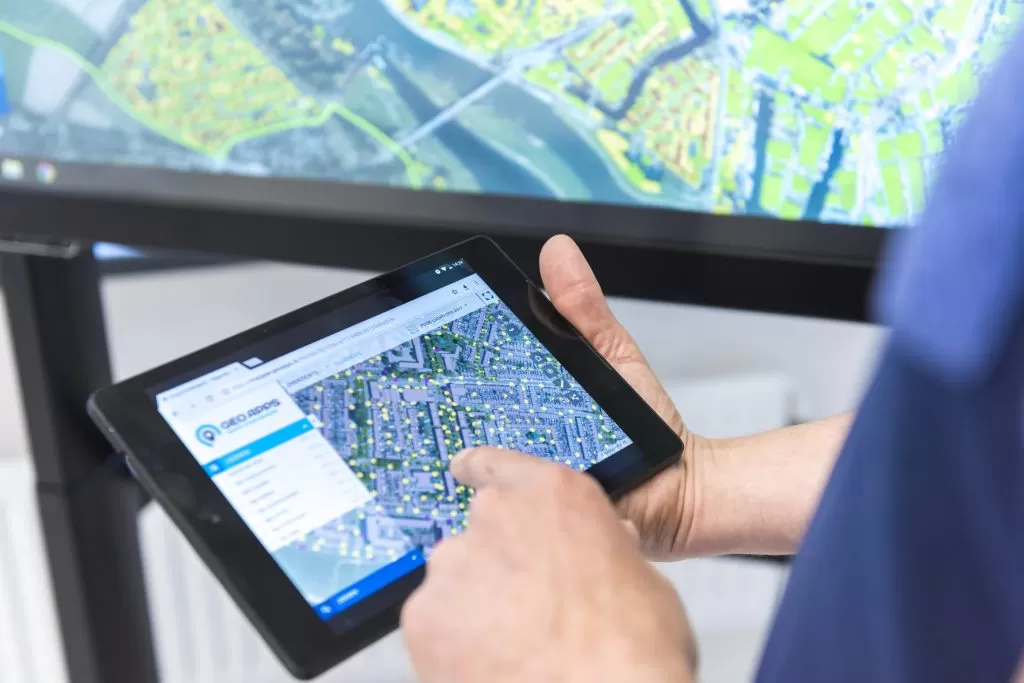

Answers about data, collaboration and implementation for safety and crisis management workflows.




