Skip to main contentSkip to navigation
ExploreJobsAbout usContact
Log in
MapGear Logo
JobsNewsAbout MapGear
Log inContact
MapGear, known through GeoAppsGeoApps
GeoApps Logo
Apps
Solutions
Platform
About us
Get advice

About GeoApps

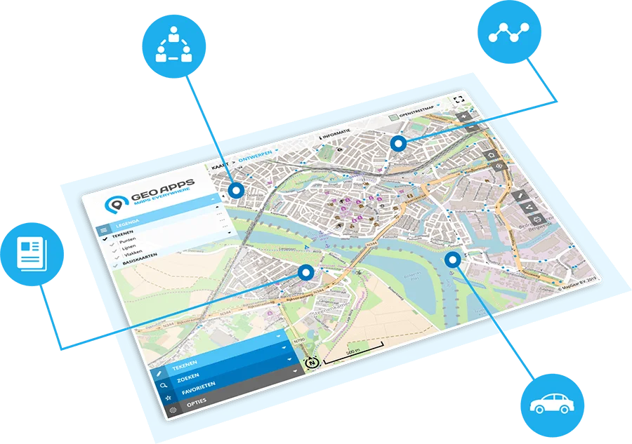
The online GIS platform for map viewers, dashboards, participation and fieldwork. Helps teams move from data to decision faster — for specialists and non-experts alike.

About MapGear

Our solutions

From map viewers to participation and dashboards – discover the Geo-ICT solutions we use to help organizations.


GeoApps
GeoApps

GIS platform for map applications

MapTalk
MapTalk

Participation platform and input

MapServices
MapServices

Geodata hosting and web services

TouchTable
TouchTable

Interactive map table

ESG-Maps
ESG-Maps

ESG and sustainability data

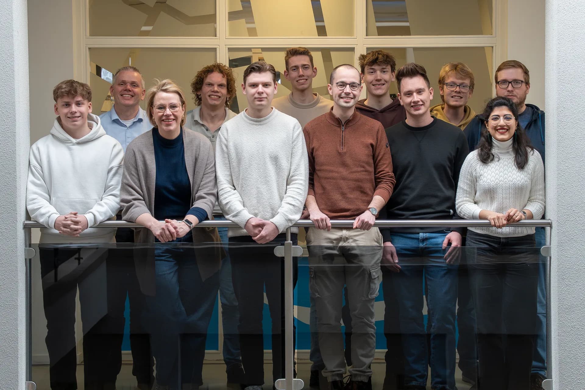
The MapGear team at the Gasfabriek Campus in Deventer
MapGear

Part of MapGear

GeoApps is developed by MapGear in Deventer. Want to learn more about the company, the team or working at MapGear?

About MapGearWork at MapGear

Our Journey

From a small startup to a trusted platform for spatial solutions - discover the milestones that shaped us
2013
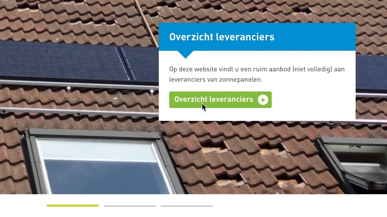
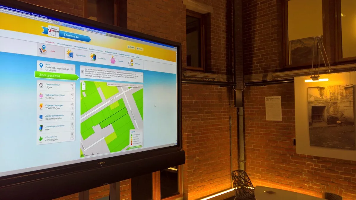
MapGear was founded by Wouter Goedhart & Egbert Griffioen with a bold vision to make GIS technology accessible to everyone. Our first product, Zonnekaart, transformed how citizens could check their rooftop solar potential, marking the beginning of our journey in democratizing spatial data.
Timeline 2013
2014
From our Zonnekaart and touchtable work came the next step: we launched our first GeoApps beta release featuring our inaugural mapping viewer. This simple yet powerful tool laid the foundation for what would become a full-stack platform for spatial solutions, receiving positive feedback from early adopters.
Timeline 2014
2015
We achieved a major milestone with 'Zon zoekt Drenthe' - a comprehensive project that mapped all municipalities in Drenthe province for solar potential. This project demonstrated our capability to handle large-scale geographic analyses and established our reputation in the renewable energy sector.
2015 - We achieved a major milestone with 'Zon zoekt Drenthe' - a comprehensive project that mapped all municipalities in Drenthe province for solar potential. This project demonstrated our capability to handle large-scale geographic analyses and established our reputation in the renewable energy sector.

Please accept cookies to play this video
2016
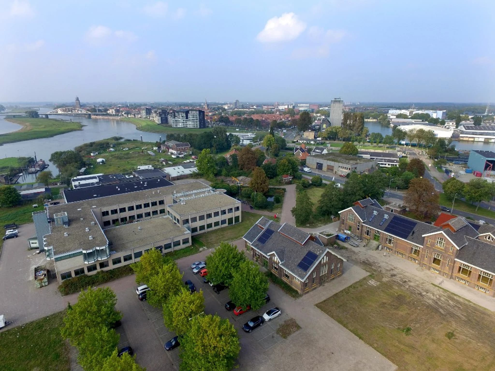
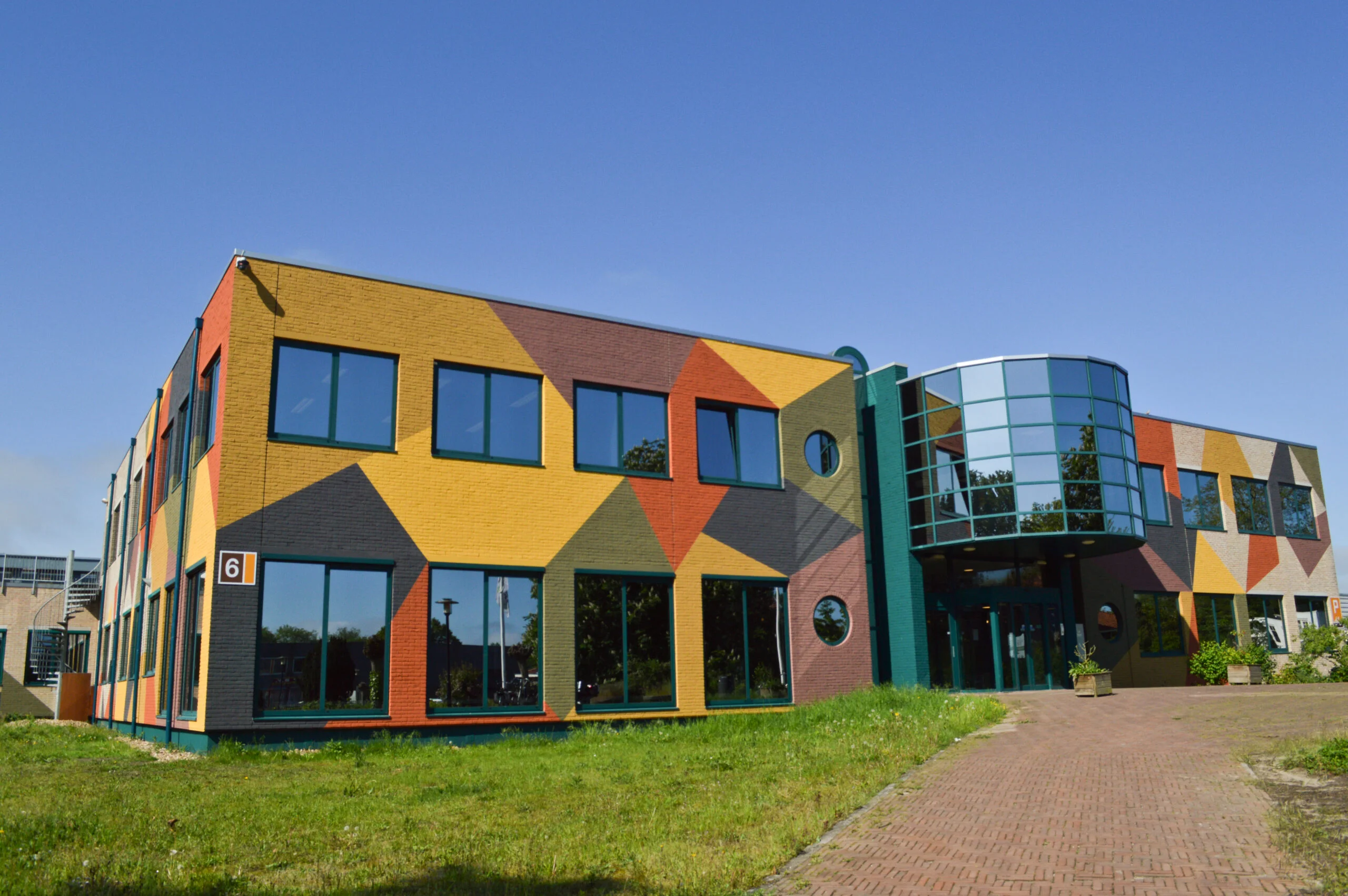
A new chapter began as we became the first tenant at the Gasfabriek campus in Deventer, relocating from Zwolle. This move gave us a larger, more collaborative workspace, and we pioneered what grew into a thriving tech ecosystem, fostering innovation and growth.
Timeline 2016
2017
A pivotal year for GeoApps – we released our first production version as a full-stack online GIS platform: backend management for data and configuration, and frontend applications for mapping and analysis. This marked the transition from beta to a single, integrated platform that would serve as the backbone for years to come.
Timeline 2017
2018
We launched Zonnekaart Pro, a sophisticated evolution of our original solar mapping tool. This professional-grade application enabled advanced area analyses, detailed feasibility studies, and comprehensive reporting capabilities, serving architects, engineers, and urban planners across the Netherlands.
2018 - We launched Zonnekaart Pro, a sophisticated evolution of our original solar mapping tool. This professional-grade application enabled advanced area analyses, detailed feasibility studies, and comprehensive reporting capabilities, serving architects, engineers, and urban planners across the Netherlands.

Please accept cookies to play this video
2019
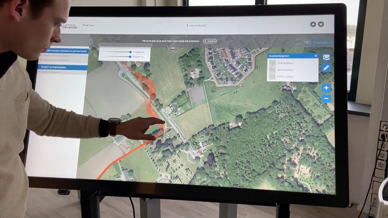
Innovation took center stage with the launch of PraatMee, our groundbreaking citizen engagement platform. This innovative tool transformed how municipalities collect public input, allowing residents to provide feedback and suggestions directly through interactive maps, enhancing democratic participation in urban planning.
2019 - Innovation took center stage with the launch of PraatMee, our groundbreaking citizen engagement platform. This innovative tool transformed how municipalities collect public input, allowing residents to provide feedback and suggestions directly through interactive maps, enhancing democratic participation in urban planning.

Please accept cookies to play this video
2020
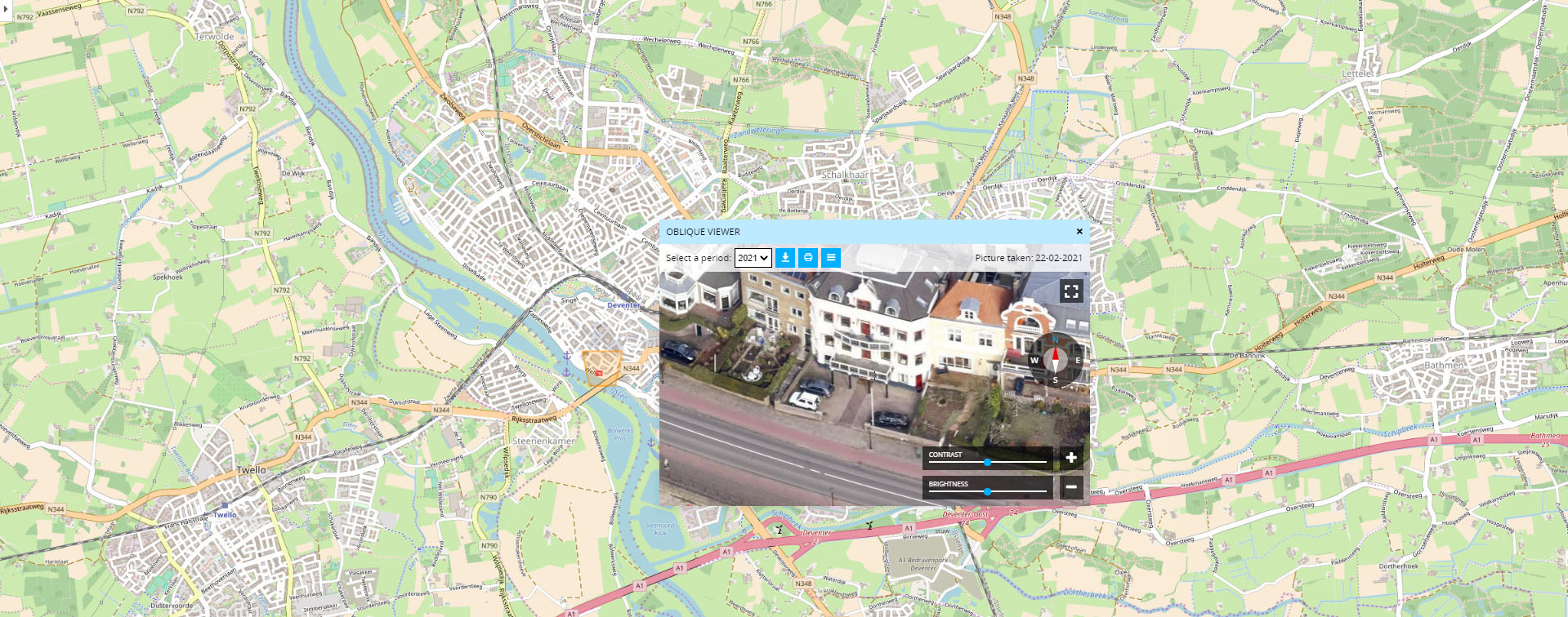
Despite the global pandemic challenges, we demonstrated resilience and adaptability by delivering the new Geo-obliek viewer for Slagboom & Peeters. This project showcased our ability to maintain high-quality service delivery while working remotely, and introduced new features for infrastructure asset management.
Timeline 2020
2021
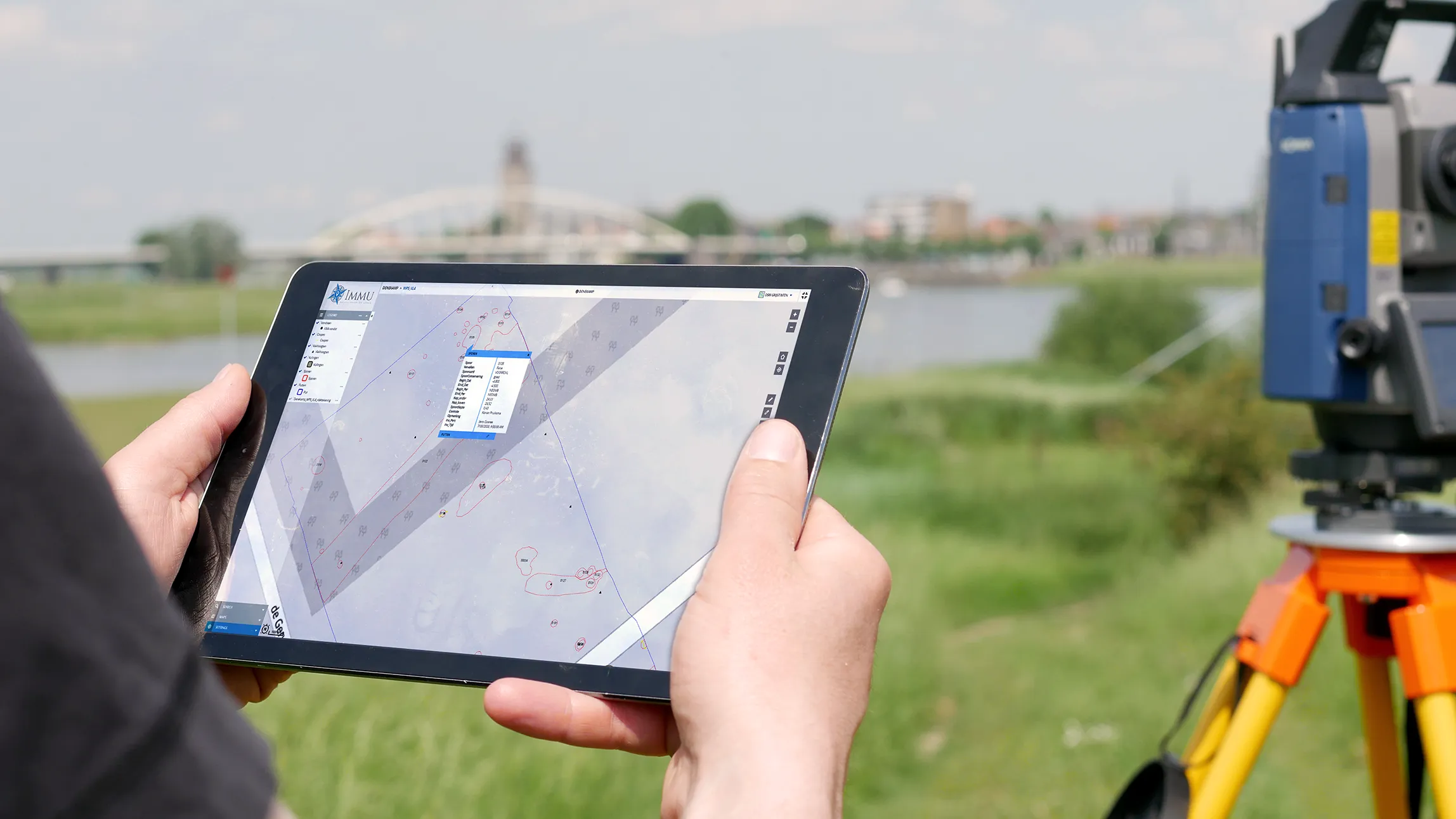
We transformed field data collection with the launch of our Fieldwork module. This mobile-first solution empowered field teams to gather, validate, and synchronize data directly from the field, bridging the gap between office-based analysis and real-world data collection with offline capabilities and real-time synchronization.
Timeline 2021
2022
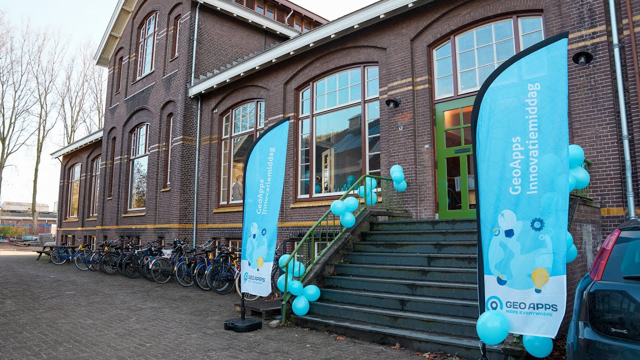
We hosted our first in-person GeoApps Innovatiemiddag since COVID-19, bringing together our community of users, partners, and stakeholders to share knowledge, showcase new features, and discuss the future of spatial technology in a collaborative environment.
2022 - We hosted our first in-person GeoApps Innovatiemiddag since COVID-19, bringing together our community of users, partners, and stakeholders to share knowledge, showcase new features, and discuss the future of spatial technology in a collaborative environment.

Please accept cookies to play this video
2023
A landmark year as we achieved dual ISO certification - ISO 9001 for quality management and ISO 27001 for information security. These certifications validated our commitment to excellence and security, opening doors to enterprise-level clients and government contracts while ensuring the highest standards of data protection.
ISO 27001 Certification
ISO 9001 Certification
2024
Record year onboarding new GeoApps clients, including major governments such as the City of Rotterdam and others. We also launched a new sustainability product, Sustainability Map, expanding our offering for energy transition and ESG insights with dedicated modules and dashboards.
Timeline 2024
2025
Celebrating 12.5 years of innovation, growth, and impact in the geospatial industry. From our humble beginnings with Zonnekaart to becoming a comprehensive platform serving 300+ organizations across Europe, we continue to push the boundaries of what's possible with spatial technology, with exciting new developments on the horizon.
Timeline 2025
2026
GeoApps develops as a GIS platform alongside the OSGeo ecosystem and QGIS. We became a QGIS Sustaining Member and launched the GeoApps QGIS plugin, making the integration between desktop and web GIS seamless for professionals worldwide.
QGIS Sustaining Member 2026

Our Values

Innovation

Continual improvement and smart use of new technology

Quality

Reliable software and careful execution

Collaboration

We succeed together with customers and partners

Sustainability

Solutions that contribute to a future‑proof environment

Visit us in Deventer

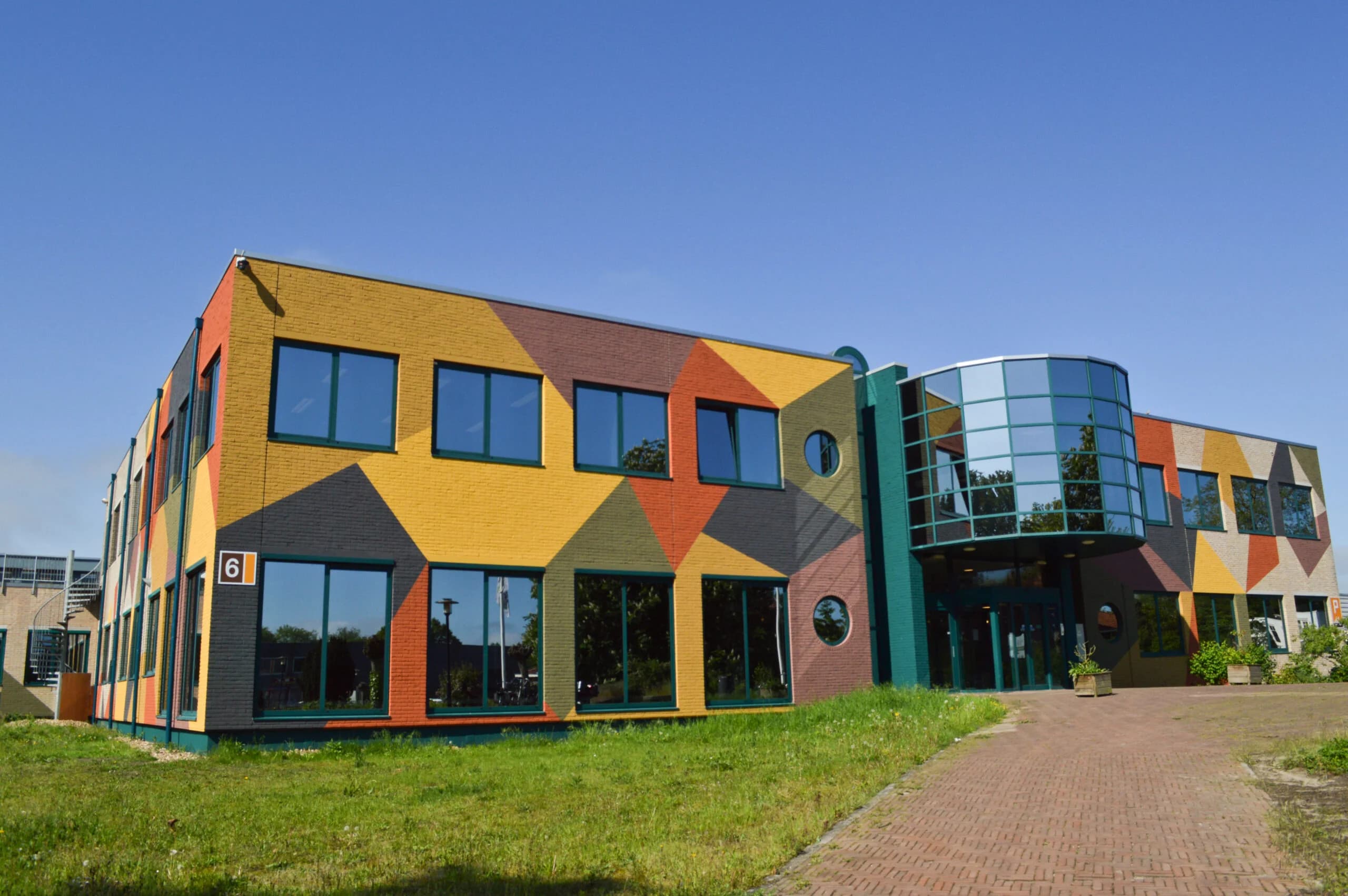
GeoApps is developed at the Gasfabriek campus in Deventer. Stop by for a demo or introduction.

Address

Zutphenseweg 6

7418 AJ Deventer

Netherlands

Office Hours

Monday – Friday: 09:00 – 17:00
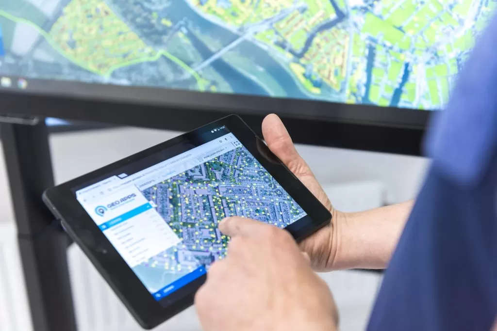
Gasfabriek Campus Deventer

Ready to get started?

Contact us to discuss how we can help you

Contact us
GeoApps Viewer
Gasfabriek project
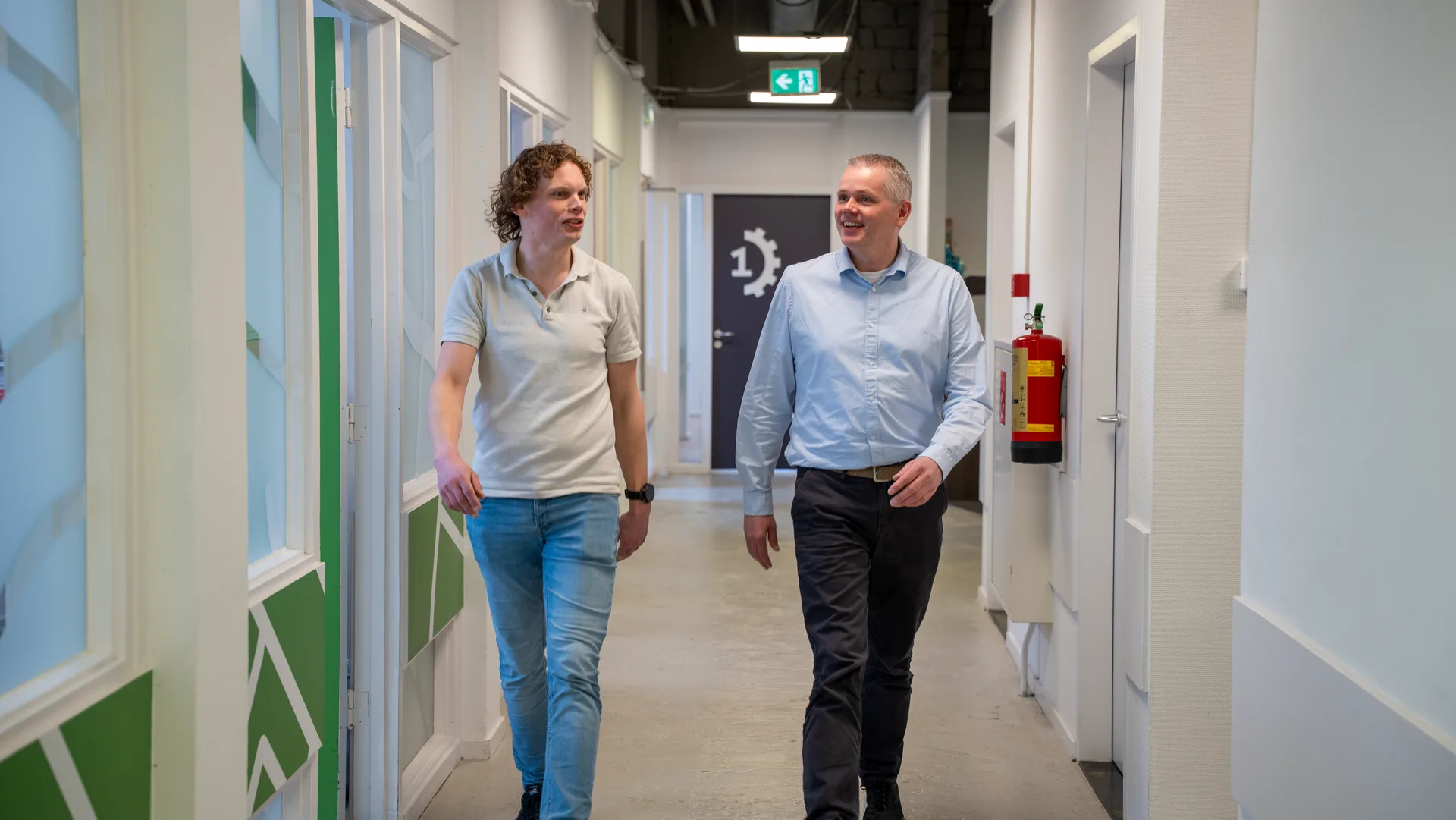
MapGear team office
GeoApps Logo

GeoApps is the leading software platform for GIS applications and spatial data, enabling organizations to make data-driven decisions.

Solutions

  • Urban Planning
  • Infrastructure
  • Real Estate
  • Environment & Climate
  • Energy Transition
  • Safety & Risk
  • GIS & cartography

Products

  • GeoApps
  • Solutions
  • ESG-Maps
  • MapServices
  • TouchTable
  • Consultation
  • Platform

Apps

  • Viewer
  • Dashboard
  • Fieldwork
  • MapTour
  • MapTalk
  • Custom
  • QGIS plugin

For whom?

  • Municipalities
  • Provinces
  • Environmental Services
  • Engineering
  • Contractors
  • Safety Regions
  • Water authorities

Platform

  • Integrations
  • Documentation
  • GIS Lexicon
  • System Status
  • Changelog
  • Support
  • Subscriptions

Company

  • About Us
  • Careers
  • Contact
  • Partners
  • News & Blog
  • Events
  • Case studies

Stay up-to-date

Subscribe to our newsletter to get the latest updates on our products and services. You can unsubscribe at any time.

Keep an eye on our socials too

Stay connected with us through our social media channels and get the latest updates on our products and services.

Quality & trust

MapGear is ISO 9001 and ISO 27001 certified and meets the highest quality and security standards for our products and services.

ISO 9001 Certificering
ISO 27001 Certificering
QGIS Membership 2026
© 2026 MapGear B.V. All rights reserved.
Terms & conditionsPrivacy PolicySustainability statement