Discover how GeoApps helps construction companies with project planning, execution, and asset management with geospatial solutions.
Please accept cookies to play this video

"The real-time map saves us many unnecessary kilometers in combating the oak processionary caterpillar."
Robbert Alferink
Planner

Over 300 organizations trust solutions by GeoApps for their spatial challenges


Streamline construction execution with real-time project tracking and geospatial planning.
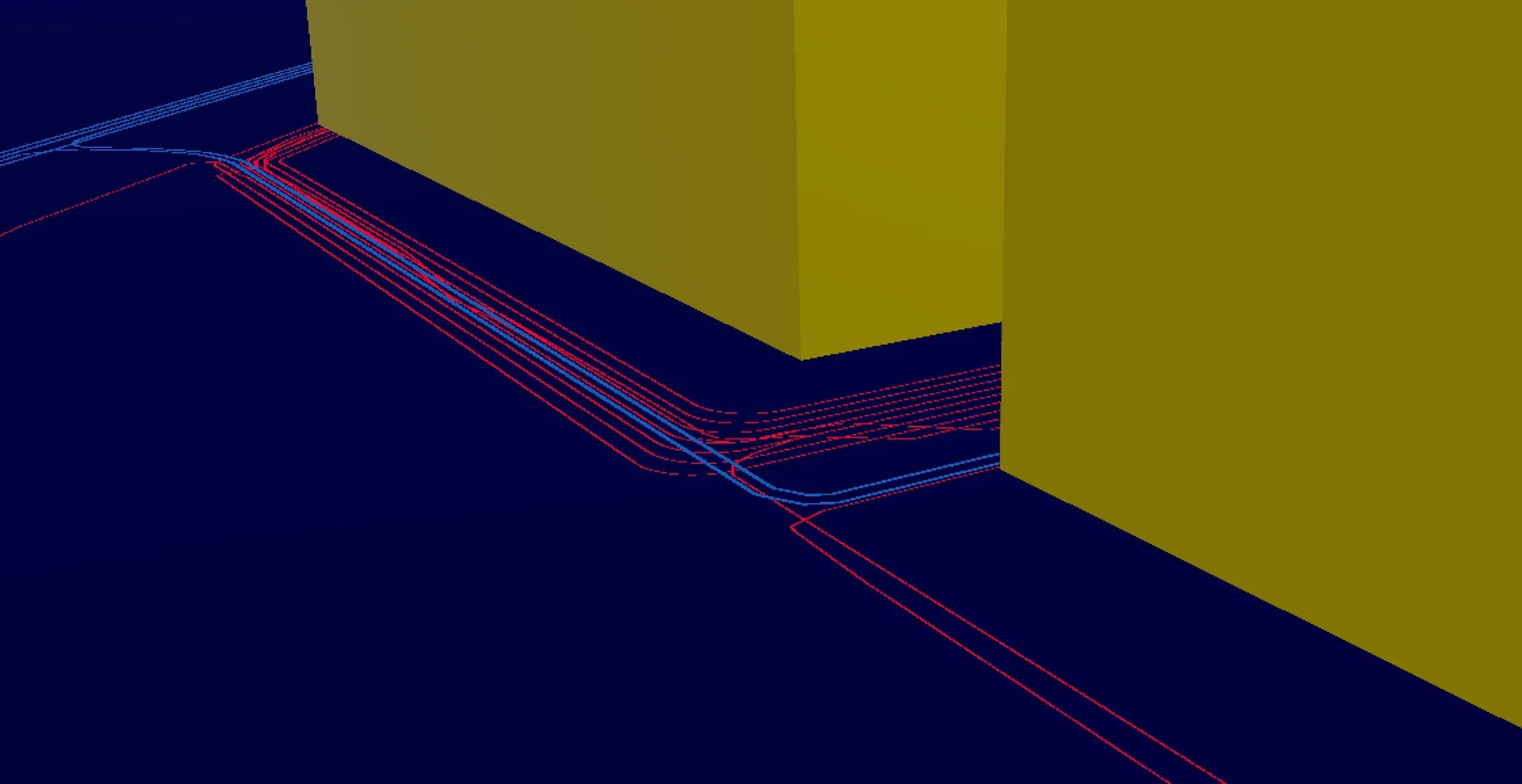
Plan construction projects with precision using spatial data and 3D visualizations.
Manage risks and surprises with comprehensive soil and infrastructure data.
Efficient soil investigation and cable detection with geospatial tools and data.

Plan and manage infrastructure construction projects with spatial data.

Support urban development projects and housing construction with 3D visualizations and planning.

Discover complementary solutions that enhance your geospatial capabilities
Discover how GeoApps can help your organization with geospatial solutions that perfectly fit your needs.


Answers to frequently asked questions about GeoApps for organizations.