

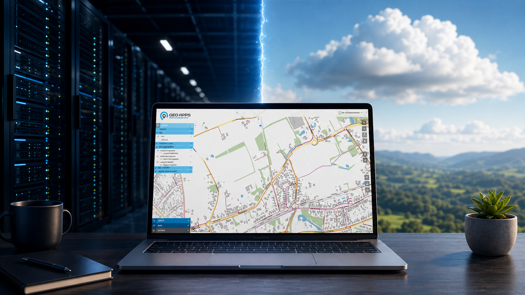
The Best GIS Architecture Is Rarely Fully On-Premises or Fully Cloud-Based
Organisations regularly face the same question: should we keep our GIS environment entirely under our own control, or move to a SaaS solution in the cloud? This question often arises during tenders, replacement projects and architecture decisions.
The discussion is usually presented as a choice between two extremes. SaaS offers flexibility and less technical management, while on-premises provides greater control over infrastructure and data. In practice, however, applications, data and processes do not all need to be hosted in the same place.
The Decision Is About More Than Hosting
Modern GIS environments no longer consist of a single database and one map application. Organisations use viewers, dashboards, APIs, ETL processes, national data services and integrations with case-management systems and other business applications.
Every additional data source or integration requires maintenance, security and specialist knowledge. At the same time, users expect current information to be available quickly and applications to adapt easily to new requirements.
The question is therefore not only where the GIS software is hosted. Organisations must also decide where data is managed, how systems communicate and who is responsible for updates, security, backups and continuity.
What SaaS and On-Premises Offer Organisations
With Software as a Service, the application runs in an online environment managed by the supplier. Organisations do not need to manage the full infrastructure, installation process and software updates themselves. New functionality can be made available centrally, while applications remain easily accessible to different departments, locations and user groups.
SaaS does not automatically mean that all data must be moved to the same cloud environment. The application can run online while selected data sources remain within the organisation’s existing infrastructure.
For other data and processes, local management may still be important. This can be related to security requirements, internal policies, existing architecture decisions or the desire to retain direct control over databases and data flows.
An internal database often contains information that supports wider asset-management, permitting or project processes. A full migration to a new environment is therefore not always necessary or desirable. On-premises environments do, however, require sufficient capacity for maintenance, updates, availability, backups and technical expertise.
Most Environments Are Already Hybrid
Many organisations already work with a combination of local and cloud-based solutions. Some information is stored in an internal database, while other data comes from national services, external web services or hosted imagery environments.
A map may, for example, combine asset data from an internal database with address information from PDOK, records from a case-management system and aerial imagery from the cloud. For the user, this should function as one connected environment, even when the information technically comes from several different sources.
The main question is therefore not whether everything should remain local or move entirely to the cloud. The real challenge is connecting the different components reliably without creating new exports, copies and isolated custom solutions.
Where Does GeoApps Fit Within a Hybrid Architecture?
GeoApps is an online GIS platform, but it does not require organisations to move all data into one central environment. Information can be managed where it best fits the organisation, the data source and the related workflow.
Objects can remain in an internal PostGIS database and still be made available through GeoApps. Information from a case-management system can be presented geographically, while temporary project data or large aerial-image datasets can be managed within GeoApps or hosted in the cloud.
GeoApps supports connections with databases, WMS and WFS services, REST APIs, national data services and business applications. This allows the platform to fit into the existing infrastructure without requiring every system to be rebuilt.
An organisation can manage temporary project information within GeoApps and later transfer final records to a source system. GeoApps can also display information directly from existing systems, reducing the need for employees to export files or switch between multiple applications.
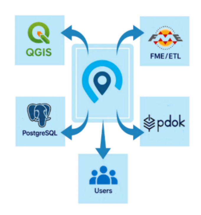
Direct Connect Links Existing Data Sources
Direct Connect creates the connection between GeoApps and data sources managed elsewhere. This may be an internal database, a case-management system or another business application.
Instead of repeatedly copying or manually importing data, the original source is connected directly. Users work with the information they need through GeoApps, while the existing system can remain responsible for managing the source data.
This helps prevent multiple versions of the same data from appearing. It also reduces dependence on separate exports, custom scripts and individual integrations that each require their own maintenance.
One Environment With Both Control and Flexibility
A hybrid architecture does not need to feel fragmented to users. GeoApps brings information from different sources together within one viewer, dashboard or fieldwork application.
A policy officer can combine national and internal information, while an asset manager can view or update object data from an internal database. Project teams can also use aerial imagery, documents and current statuses without opening several systems separately.
The technical origin of the data remains in the background. Users access the information that matches their role, task and workflow through one recognisable environment.
Both on-premises and SaaS therefore have a place within a modern GIS architecture. SaaS reduces technical application management and supports faster development, while on-premises remains suitable for data sources and processes that the organisation wants to control directly.
The best GIS architecture is not automatically fully local or completely cloud-based. It is an environment in which each data source is managed in the right place, systems communicate directly and users have simple access to current information.
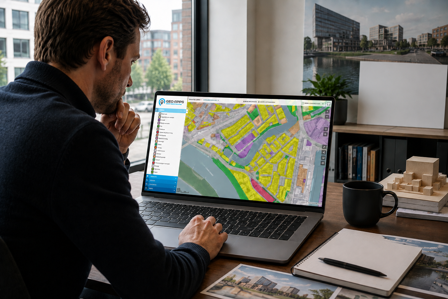
Where Should Your GIS Live?
The answer depends on your data sources, security requirements, existing systems and daily workflows. Not every component needs to be hosted in the same place to function as one platform.
GeoApps provides the flexibility to work online without giving up control of your existing data environment. This creates a scalable GIS architecture that supports today’s organisation and can grow with future applications.
Would you like to know how GeoApps connects with your databases, case-management systems and cloud environment?
Schedule a conversation and discover which combination of on-premises and SaaS best fits your organisation.


