


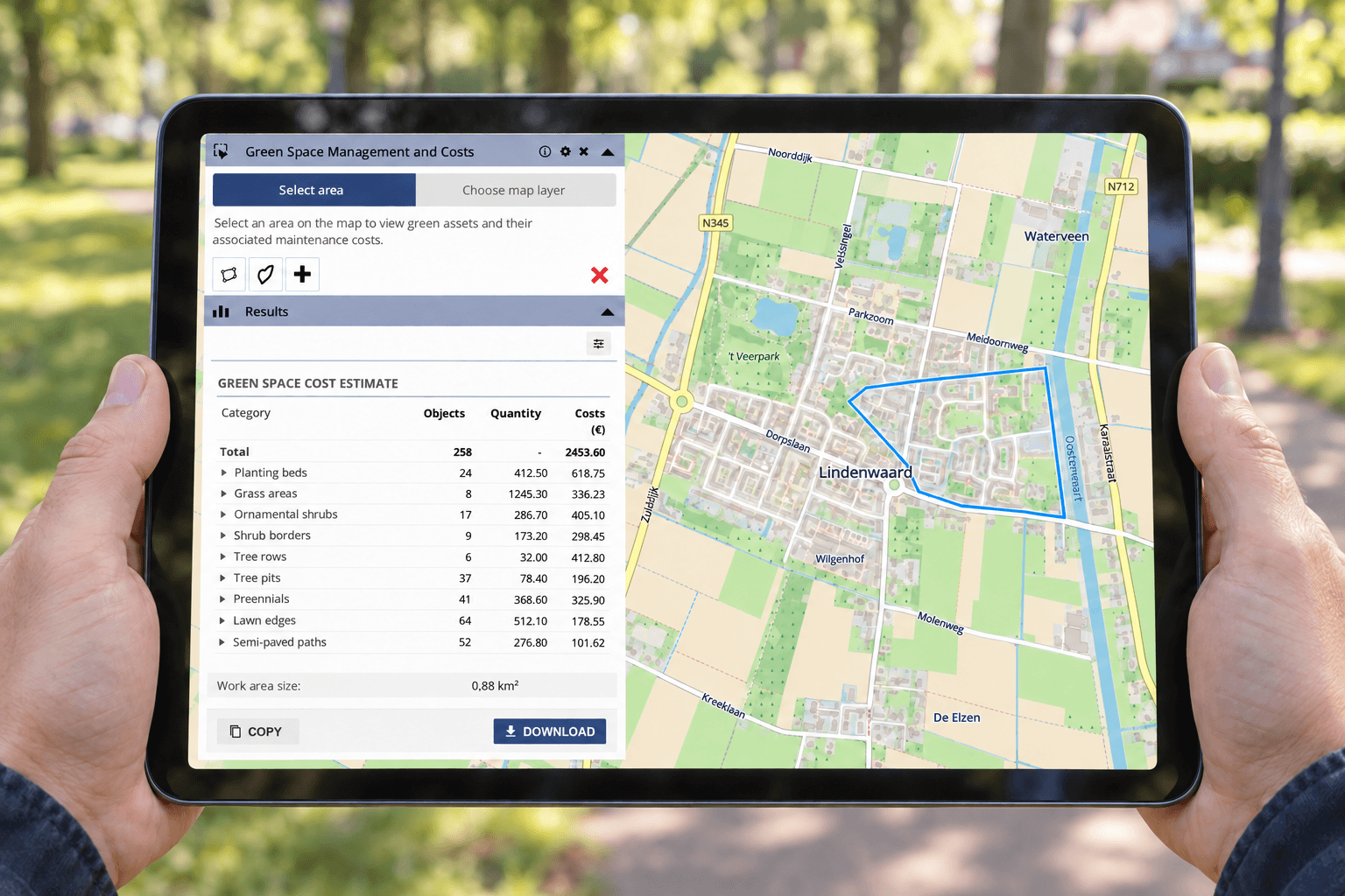
Create Quotes Faster with GeoApps: Quantities and Costs Directly from the Map
Read moreNews and events
Practical stories, product updates and Geo-ICT insights from MapGear.
Turn each product line on or off to choose which news you see.
Location-based quotes often require time-consuming measuring, counting and data collection before the actual calculation can begin. With GeoApps, quantities, areas and costs can be calculated directly from the map as a basis for a more efficient quoting process.
Read more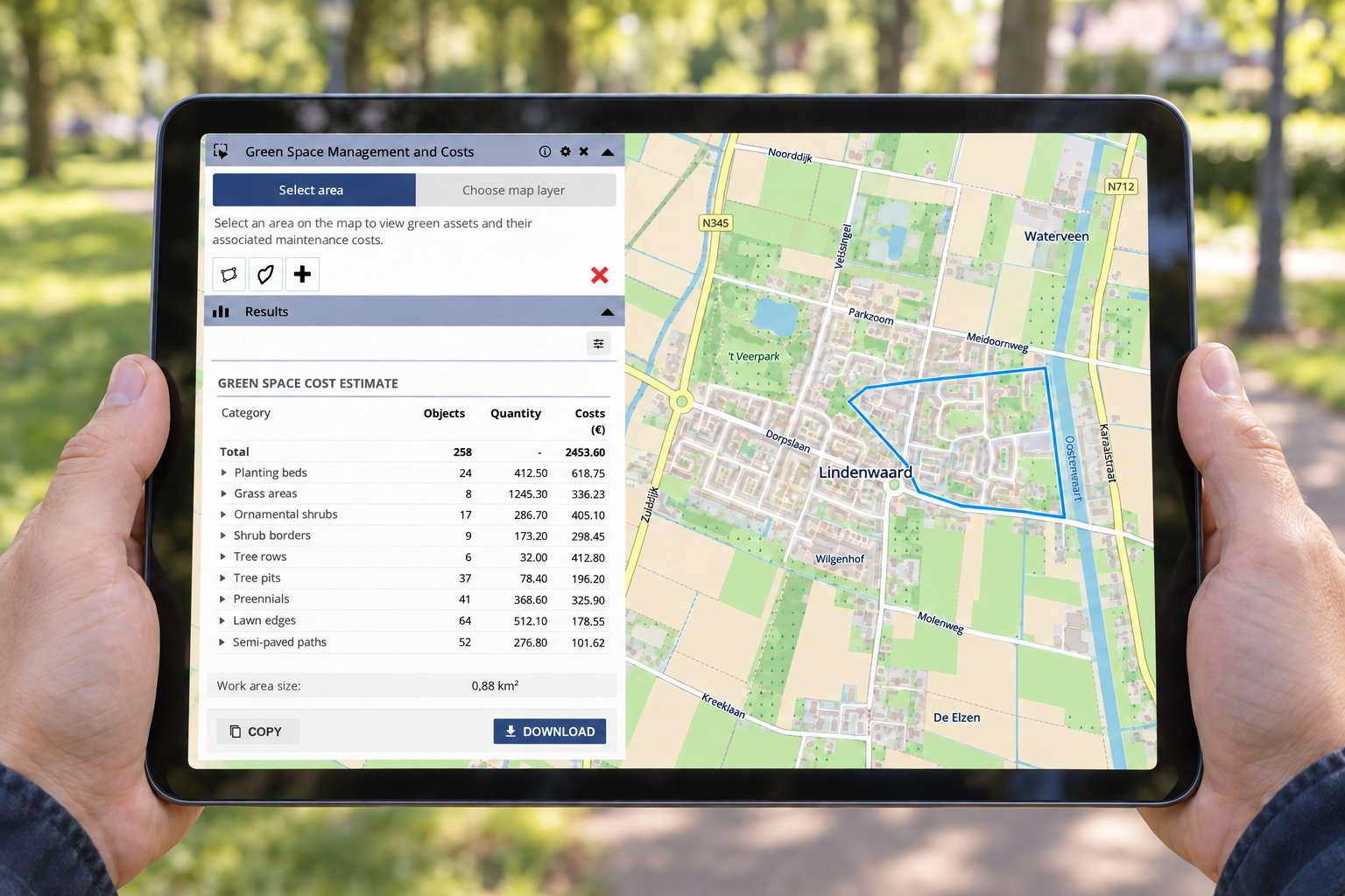
MapGear celebrates its 14th anniversary in 2026. From its beginnings in Zwolle to a team of around 15 colleagues in Deventer, one ambition has remained constant: making geographical information understandable, accessible and useful for the people who need it.
Read more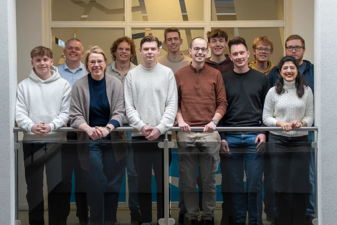
The European Nature Restoration Regulation makes reliable monitoring of urban green increasingly important. Discover what this means for municipalities and how spatial data helps demonstrate green development.
Read more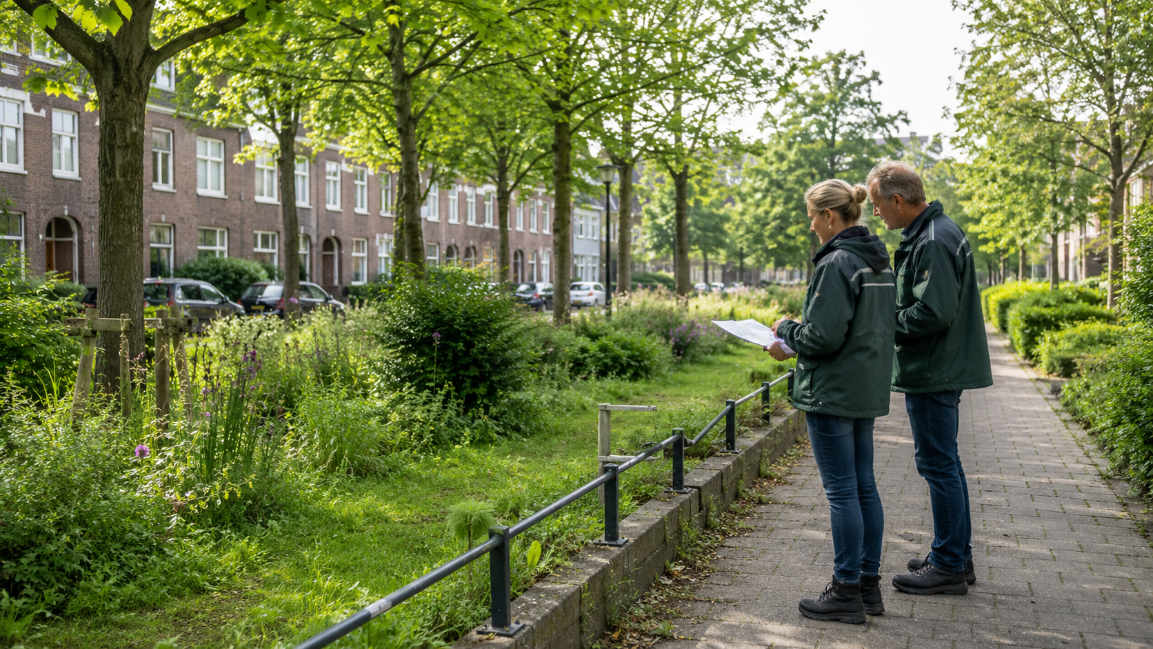
Interactive walkthroughs bring guidance directly into GeoApps, helping users learn workflows in context, discover relevant functionality and work more independently without constantly switching to manuals or training material.
Read more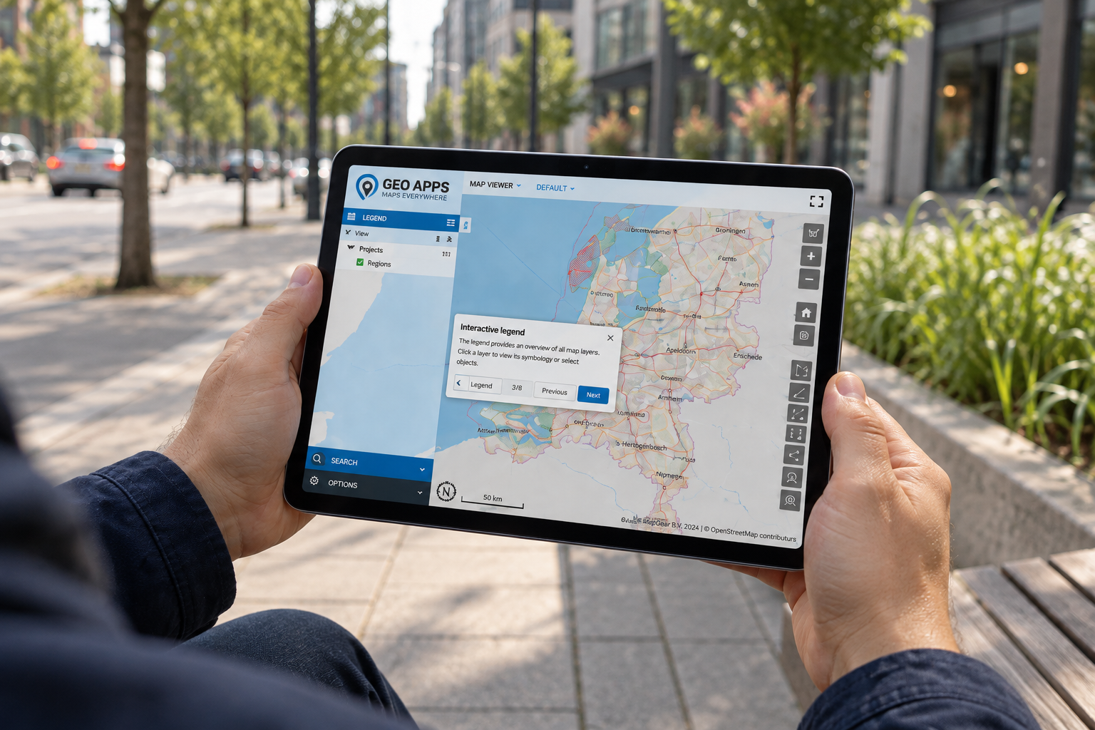
Many organisations are weighing on-premises GIS against SaaS. Discover why a hybrid architecture often provides the best balance between control, flexibility and manageable technical operations.
Read more
A detailed map can still leave people wondering where to look. Discover how GeoApps viewers, MapTour, dashboards and MapTalk help you organise spatial information around your audience, with clear views and explanations that make maps easier to understand.
Read more
A facility can look nearby on a map and still be difficult to reach. MapServices travel-time and catchment-area tools help organisations explore accessibility, compare locations and investigate gaps in coverage. Discover how these analyses bring practical context to spatial planning.
Read more
Municipalities are increasingly dealing with heat stress, drought, and flooding. The Climate Adaptation Monitor helps map climate risks and monitor adaptation measures with spatial insight.
Read more
Green Insights helps municipalities assess their performance against the 3-30-300 rule and identify opportunities to improve biodiversity, accessibility and urban greening.
Read more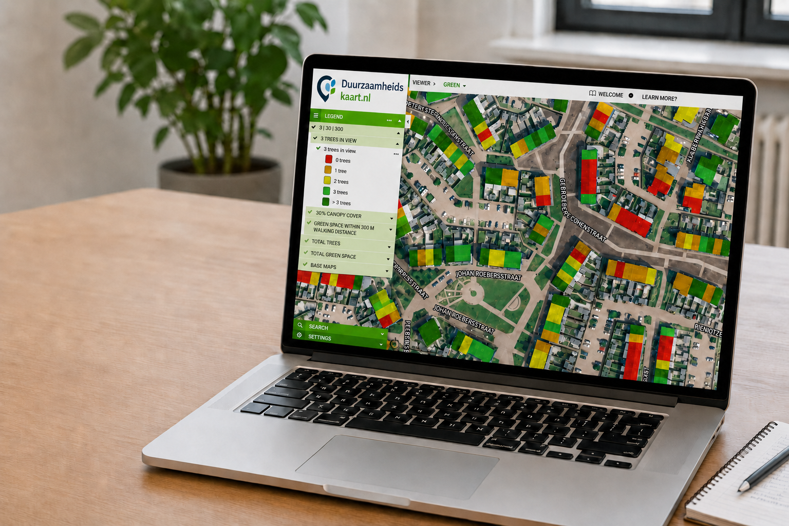
Do you have questions and want to know more about one of our products or request a demo? Fill in the contact form so we can get in touch with you.


