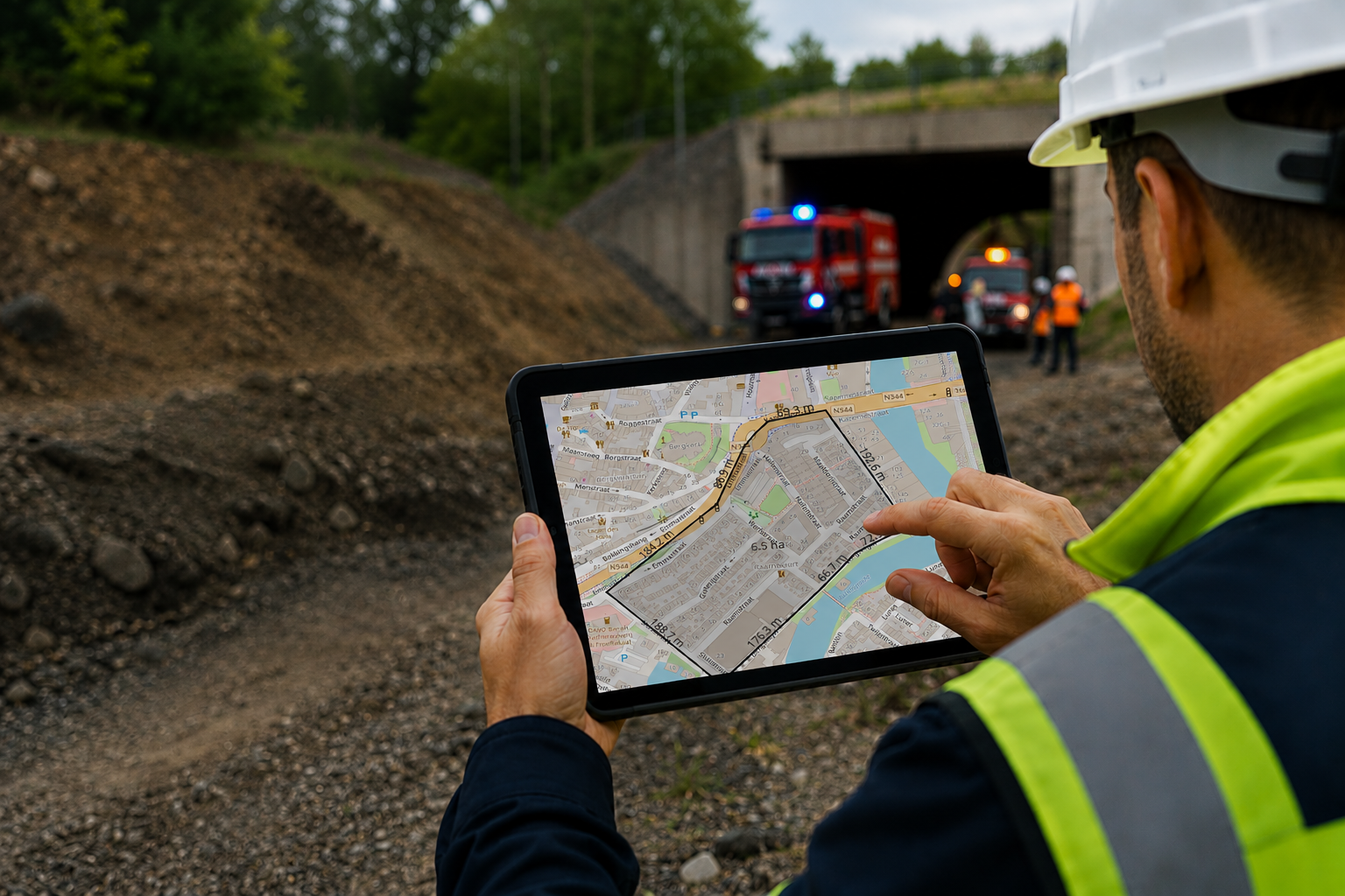
Work where the work happens
Many mobile GIS solutions depend on a continuous internet connection. As soon as coverage drops, maps become slow or important datasets disappear completely.
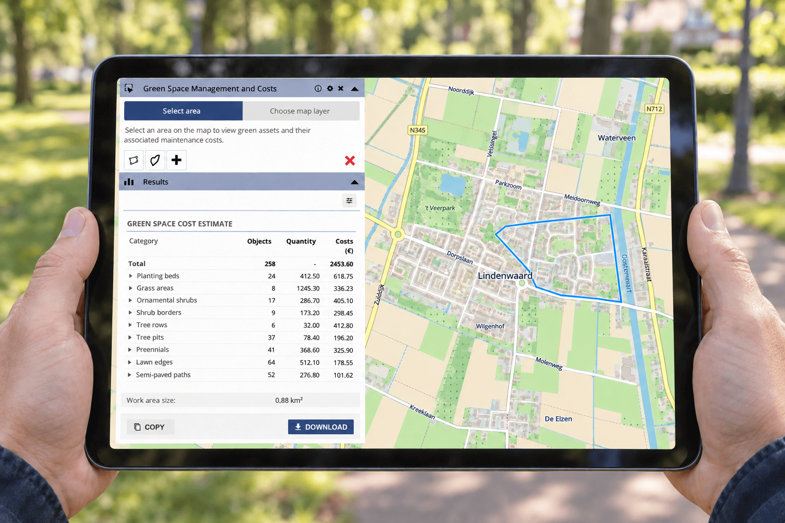
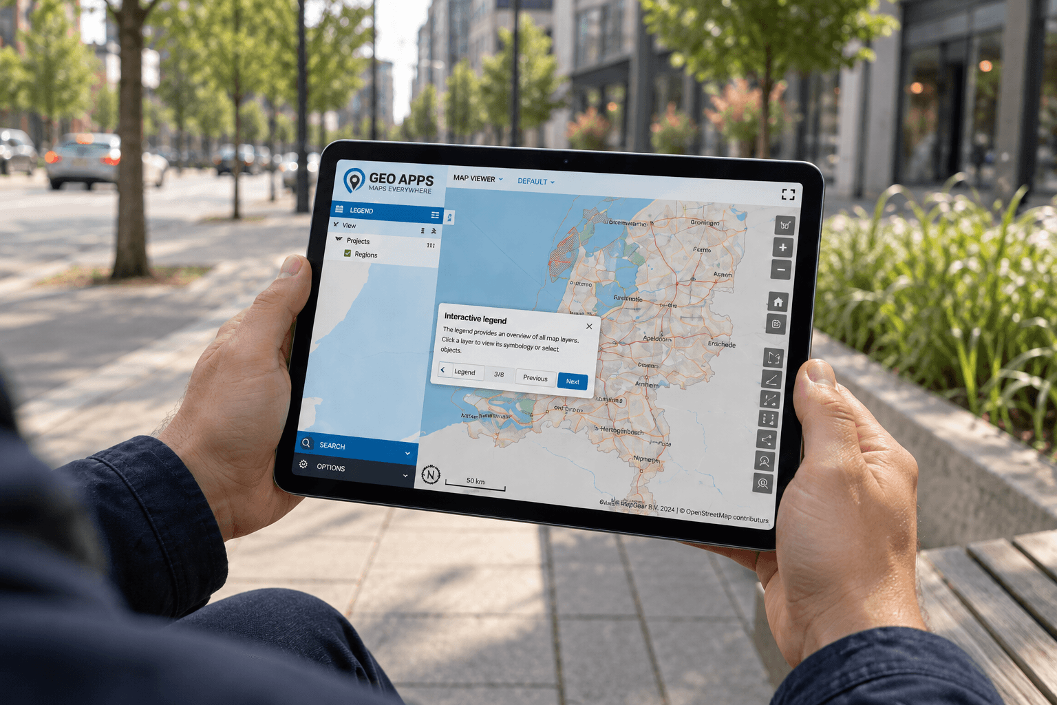
With the new offline functionality in GeoApps, field teams take exactly the information they need into the field before they start working. Instead of downloading an entire database, users simply select the project area and datasets relevant to their assignment.
The result is a fast, reliable workflow that continues to perform—even when there is no connection. GeoApps is designed to keep work moving, regardless of network availability. GeoApps supports modern, browser-based GIS workflows for organizations managing spatial data across the office and the field.
Built for environments where connectivity isn't guaranteed
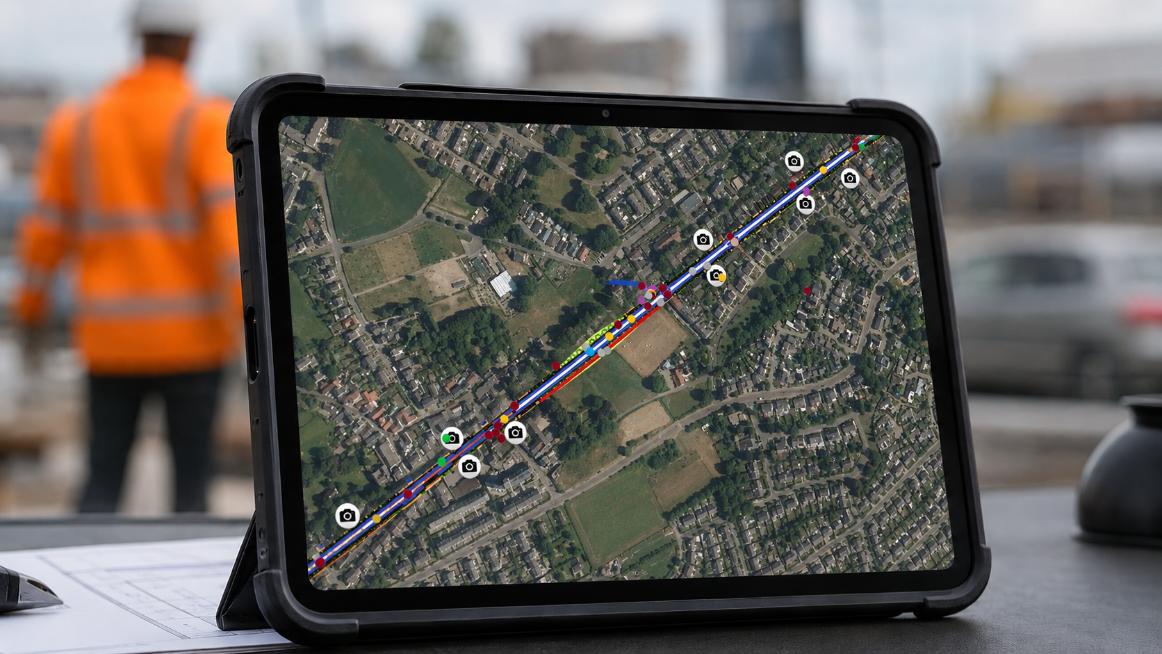
Reliable internet access cannot be taken for granted everywhere. Many essential inspections and maintenance activities take place in locations where mobile coverage is limited or unavailable.
Offline working has been developed for situations such as:
Construction sites
Parking garages
Tunnels
Remote outdoor locations
Infrastructure inspections
Public space maintenance
Fire safety inspections
Emergency response situations
When access to reliable information matters most, GeoApps remains available.
Only the data you actually need
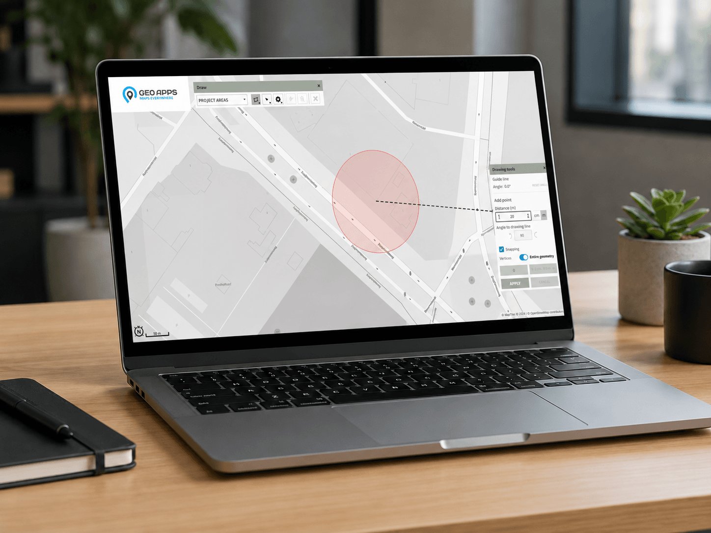
Working offline doesn't mean downloading your entire GIS environment. Users simply define the project area before leaving the office. GeoApps packages only the maps, layers and datasets required for that specific assignment.
This keeps downloads small, improves performance and makes fieldwork significantly more efficient. Once an internet connection becomes available again, collected information can be synchronized with the central environment.
This selective approach keeps storage requirements manageable while ensuring users always have the information they need. Similar offline GIS workflows are widely used to improve field productivity in environments with limited connectivity.
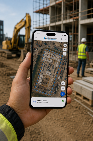
Designed for uninterrupted fieldwork
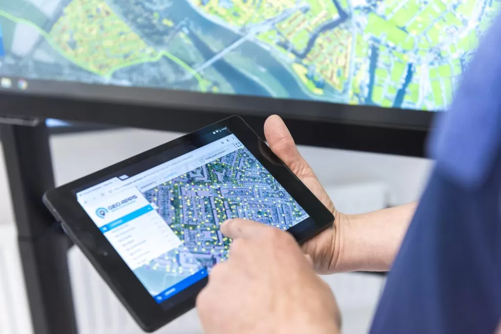
Whether you're performing inspections, registering assets, carrying out maintenance or collecting new spatial data, work shouldn't stop because of poor connectivity.
Offline functionality ensures employees can continue viewing maps, updating information and recording observations without interruptions. Teams stay productive while organizations maintain consistent data quality across every project. GeoApps combines the flexibility of mobile GIS with the reliability professionals expect in the field.
A practical step towards fully mobile GIS
The offline functionality was developed as part of an internship project by Mart Ulfkes, in collaboration with Saxion University of Applied Sciences within the Software Engineering programme.
The project represents an important milestone in GeoApps' ongoing development towards fully mobile GIS, enabling users to access reliable spatial information wherever their work takes them.
GeoApps helps organizations keep maps, datasets and fieldwork available, even when connectivity isn't.
👉 Discover how GeoApps enables reliable offline GIS workflows for your organisation.