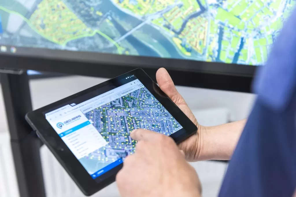
GIS is becoming increasingly important for both policy and day-to-day operations. But as spatial data is used across more teams, applications and decisions, security and GDPR move from the background to the centre of the conversation.
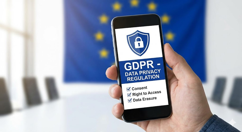
GDPR stands for General Data Protection Regulation. It is the European Union regulation governing how organisations process personal data. Its principles include data minimisation, security and confidentiality, and accountability.
Not every GIS dataset contains personal data. But spatial information can sometimes include or reveal information relating to identifiable individuals, especially when datasets are combined. That means privacy, access and governance need to be considered as part of the GIS environment itself, not added afterwards.
GIS is growing faster than the security around it
Within many municipalities and other public-sector organisations, GIS has moved from being a specialist tool to becoming part of the organisation’s wider information infrastructure.
Maps and dashboards now support permitting, inspections, policy decisions, asset management and collaboration with external partners. That growth creates enormous value, but it also changes who is responsible for the information and how access needs to be managed.
Spatial data can appear neutral on a map, while the underlying information may be much more sensitive. It may include indirectly identifiable information, locations of vulnerable assets, policy scenarios that have not yet been formally approved or datasets shared between several departments and external organisations.
As GIS becomes more widely used, questions around access, ownership, logging and governance become increasingly important.
The biggest risk is often not a technical failure
When GIS becomes the subject of an audit or governance review, organisations rarely discover one dramatic security problem. More often, they uncover working practices that have gradually developed over time.
Typical examples include:
employees having access to more information than they need
permissions that have accumulated over the years without being reviewed
exported datasets circulating outside the central environment
limited logging or little visibility into how information is being used
external organisations retaining access longer than intended
The technology itself may still be secure. The problem is that nobody has clearly defined who should have access to what, why that access exists and how it should change over time.
This is where GDPR and information security meet. Good governance means being able to explain why data is available, who can use it, how changes are controlled and how those decisions remain accountable.
Scalability without governance creates invisible risk
When GIS is used by one small specialist team, access and responsibilities are relatively easy to understand.
But GIS environments rarely stay small.
More users lead to more dashboards, integrations, applications, collaborations and data flows. The value of the GIS environment grows, but so does the need to maintain control over how information moves through the organisation.
Adding another password or creating another separate environment does not solve that structurally. Security, privacy and governance need to be part of the foundation.
Within GeoApps, this can include clear role and permission structures, controlled collaboration with external users, centralised data management that reduces uncontrolled exports, visibility into usage and changes, and governance that can scale across multiple departments and teams. GeoApps also supports user management and security capabilities such as Active Directory integration, role-based access control, 2FA and SSO.
Security should make GIS easier to scale, not harder
The goal is not to eliminate every possible risk. That is unrealistic.
The goal is to make your GIS environment manageable, explainable and controllable as more people begin to depend on it.
When access, responsibilities and data flows are clearly organised, teams can use spatial information more confidently without creating an uncontrolled collection of exports, permissions and disconnected applications.
Security and GDPR are therefore not barriers to GIS innovation. They are part of what makes sustainable, organisation-wide GIS possible.
The organisations that establish governance early stay in control as GIS grows. Those that postpone it often discover the gaps when someone eventually starts asking questions.
Ready to review your GIS environment?
Want to know whether your GIS setup provides the right balance between accessibility, security and governance?
Talk to GeoApps about your GIS security, privacy and data-management setup.