When organisations invest in GIS, the conversation often starts with features. Can the platform handle the required datasets? Does it support the right integrations? Can it produce more advanced maps? Those questions matter, but they rarely explain why a GIS project ultimately succeeds or fails.
More often, the real problems sit underneath the technology: unclear ownership, fragmented data, disconnected workflows and tools that do not fit the way people actually work.
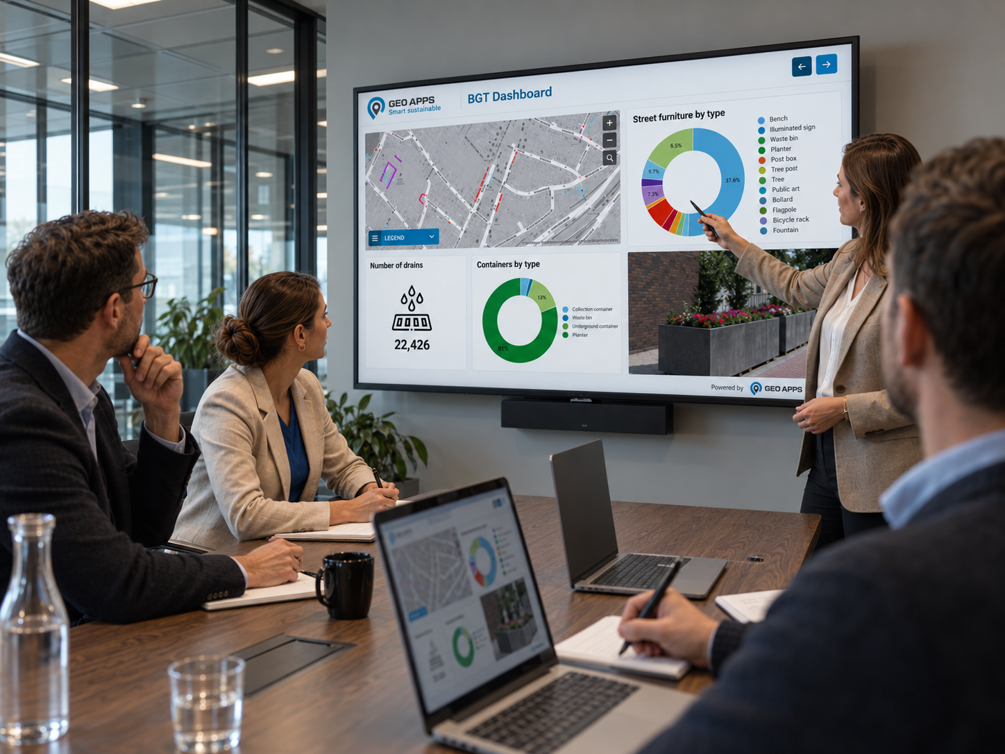
Everyone uses the GIS. But who actually owns it?
GIS is no longer limited to GIS specialists. Policy officers, inspectors, permitting teams, asset managers and project leaders may all depend on the same spatial information, but use it in very different ways.
That creates a risk. As more people start using GIS, responsibility can become less clear. Who owns the dataset? Who keeps it current? Who maintains the integration? Which source should everyone trust?
These responsibilities do not necessarily need separate job titles, but they do need clear ownership. Without it, outdated data, duplicate information and neglected workflows quickly become part of everyday operations.
The problem is rarely that nobody uses GIS. It is that everybody uses it while nobody owns the complete process.
Another GIS tool will not fix a broken workflow
When a GIS environment starts underperforming, the instinct is often to add more technology: another viewer, another integration, another dashboard or a more advanced platform.
But software cannot decide who is responsible for a dataset or whether a process makes sense. If teams still export files manually, maintain separate copies or work around the central environment, adding another application may simply add another layer of complexity.
A stronger approach starts with the workflow. What information does each team actually need? Where does data currently get duplicated? Which source should remain authoritative? Where are handovers slowing the process down?
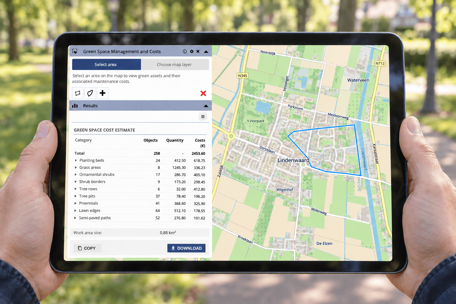
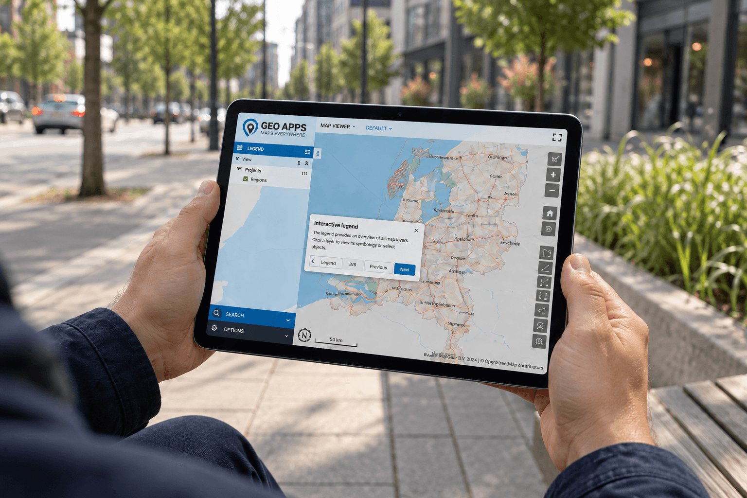
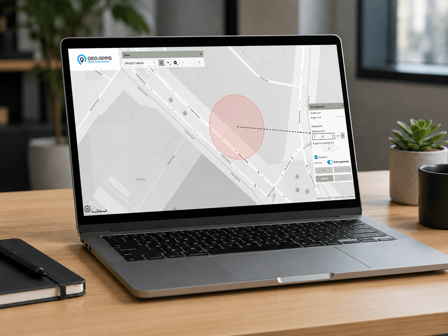
GeoApps can then provide viewers, dashboards, fieldwork tools and workflow-specific applications around those needs while specialist GIS software and existing data sources remain part of the wider architecture.
When teams work from different data, they make different decisions
Fragmentation often develops quietly. One department works from the central database, another uses an exported copy, and someone else maintains extra information in a spreadsheet. Eventually, several versions of the same geographic reality exist inside the organisation.
That costs time because employees first need to find and verify the right information. More importantly, it creates uncertainty around the decisions being made from that data.
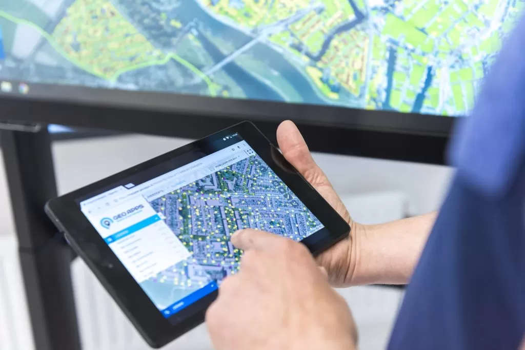
A shared spatial environment helps reduce that problem without forcing every employee into the same technical interface. GIS specialists can continue using tools such as ArcGIS Pro or QGIS, while other teams access the information they need through focused web applications.
Not everyone needs the same GIS tool. But everyone should be working from the same underlying reality.
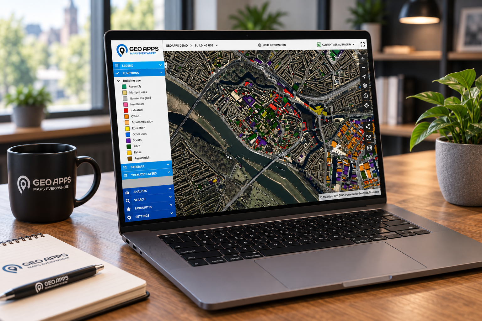
GIS becomes valuable when people, processes and data finally connect
The best GIS environments do more than display maps. They create a shared spatial context across teams.
A permitting officer may see regulatory constraints, an asset manager may see maintenance responsibilities, and a policy officer may see long-term development opportunities. When those perspectives are supported by the same trusted spatial information, teams can spend less time reconciling files and more time discussing the actual decision.
As the amount of spatial data grows, governance becomes even more important. Clear ownership, permissions, maintenance responsibilities and connected workflows allow GIS to scale without becoming another collection of disconnected applications.
Successful GIS is not created by software alone. It happens when technology, ownership and everyday workflows reinforce one another.
Is your GIS problem really a software problem?
If your organisation is dealing with fragmented data, unclear responsibilities or disconnected workflows, the first step may not be another platform. It may be creating a clearer structure for how spatial information is managed, shared and used.
Explore how GeoApps brings spatial data, applications and workflows together