Skip to main contentSkip to navigation
ExploreJobsAbout usContact
Log in
MapGear Logo
JobsNewsAbout MapGear
Log inContact
MapGear, known through GeoAppsGeoApps
GeoApps Logo
Apps
Solutions
Platform
About us
Get advice
GeoApps Logo

GeoApps is the leading software platform for GIS applications and spatial data, enabling organizations to make data-driven decisions.

Solutions

  • Urban Planning
  • Infrastructure
  • Real Estate
  • Environment & Climate
  • Energy Transition
  • Safety & Risk
  • GIS & cartography

Products

  • GeoApps
  • Solutions
  • ESG-Maps
  • MapServices
  • TouchTable
  • Consultation
  • Platform

Apps

  • Viewer
  • Dashboard
  • Fieldwork
  • MapTour
  • MapTalk
  • Custom
  • QGIS plugin

For whom?

  • Municipalities
  • Provinces
  • Environmental Services
  • Engineering
  • Contractors
  • Safety Regions
  • Water authorities

Platform

  • Integrations
  • Documentation
  • GIS Lexicon
  • System Status
  • Changelog
  • Support
  • Subscriptions

Company

  • About Us
  • Careers
  • Contact
  • Partners
  • News & Blog
  • Events
  • Case studies

Stay up-to-date

Subscribe to our newsletter to get the latest updates on our products and services. You can unsubscribe at any time.

Keep an eye on our socials too

Stay connected with us through our social media channels and get the latest updates on our products and services.

Quality & trust

MapGear is ISO 9001 and ISO 27001 certified and meets the highest quality and security standards for our products and services.

ISO 9001 Certificering
ISO 27001 Certificering
QGIS Membership 2026
© 2026 MapGear B.V. All rights reserved.
Terms & conditionsPrivacy PolicySustainability statement
GeoApps Release 29.1: New Features and Improvements | GeoApps Blog
Featured image for GeoApps Release 29.1: New Features for Apps, Management and Analytics
View All Posts
📸 Featured
News

GeoApps Release 29.1: New Features for Apps, Management and Analytics

Discover the latest improvements in GeoApps 29.1, including MapTour support in the Editor, Multi-Edit functionality, management environment enhancements, and expanded analytics capabilities.

March 7, 2023
GeoApps Team
3 min

GeoApps continues to evolve as a powerful platform for building, managing, and sharing geospatial applications. With Release 29.1, the focus is on expanding application capabilities, streamlining management workflows, and improving analytical functionality for users working with geographic data. These updates help organizations work more efficiently, manage data at scale, and gain deeper insights from their GIS environments.

MapTour Now Available in the Editor

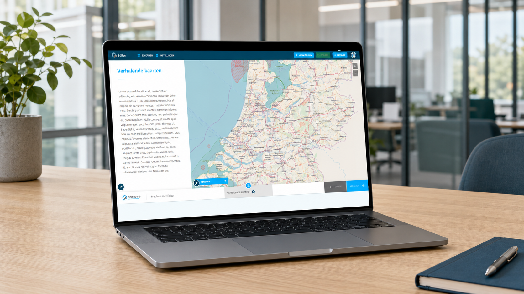
One of the most significant additions in GeoApps 29.1 is full support for MapTour within the GeoApps Editor. Organizations can now create and manage interactive story maps directly from the Editor, combining locations, images, text, and geographic information into engaging user experiences.

Benefits include:

  • Build interactive map-based stories with ease

  • Manage MapTours centrally through the GeoApps Editor

  • Improve communication around projects and locations

  • Support public engagement and participation initiatives

MapTour makes it easier to transform complex geographic information into accessible and engaging content.
🖼️
Image not available
This image could not be loaded

Faster Data Management with Multi-Edit

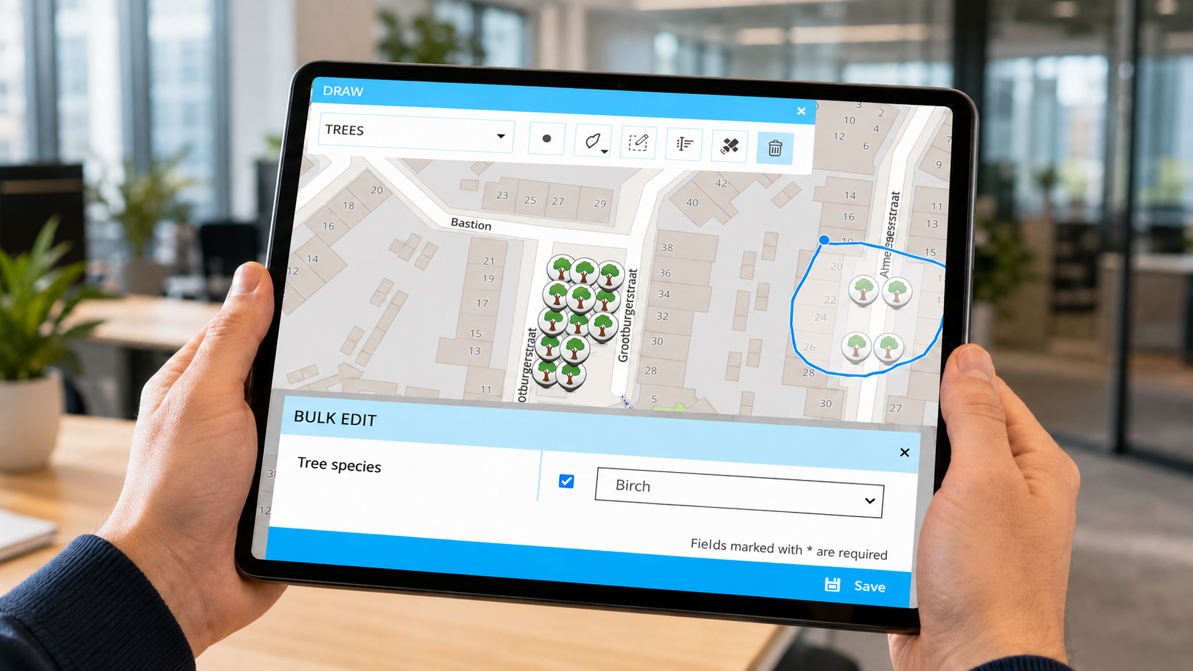
Release 29.1 also introduces Multi-Edit functionality within the drawing module. Previously, object information could only be edited one feature at a time. Users can now update multiple objects simultaneously, significantly reducing administrative effort when managing large datasets.

Multi-Edit helps organizations:

  • Update multiple features in a single action

  • Maintain consistent data quality

  • Reduce repetitive manual work

  • Improve operational efficiency

This functionality is particularly valuable for managing assets such as trees, infrastructure, utilities, and public space inventories.
🖼️
Image not available
This image could not be loaded

Enhanced Management Environment

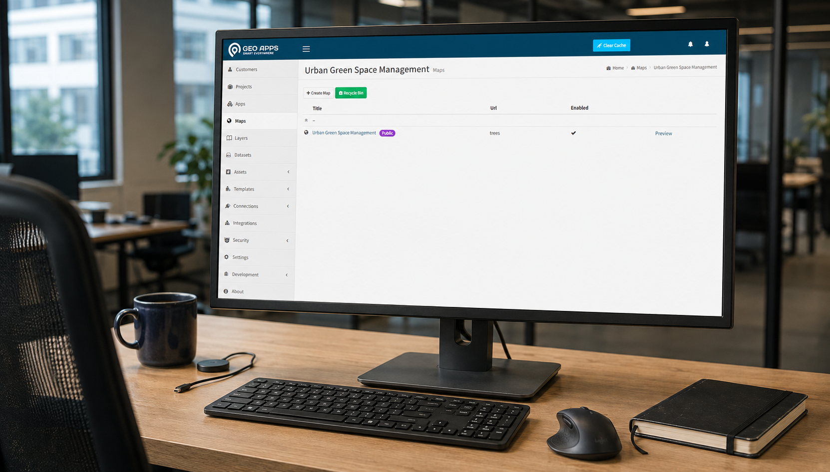
GeoApps 29.1 includes several improvements to the management environment, making daily administration more efficient and intuitive.

Key enhancements include:

  • Smarter tag management for maps and applications

  • Cleaner and more organized interfaces

  • Improved navigation and layout structure

  • Updated styling aligned with the GeoApps Editor

  • Various hardware and software optimizations

These updates help administrators manage projects, datasets, and applications more effectively while improving overall user experience.
🖼️
Image not available
This image could not be loaded

More Powerful Analytics and Reporting

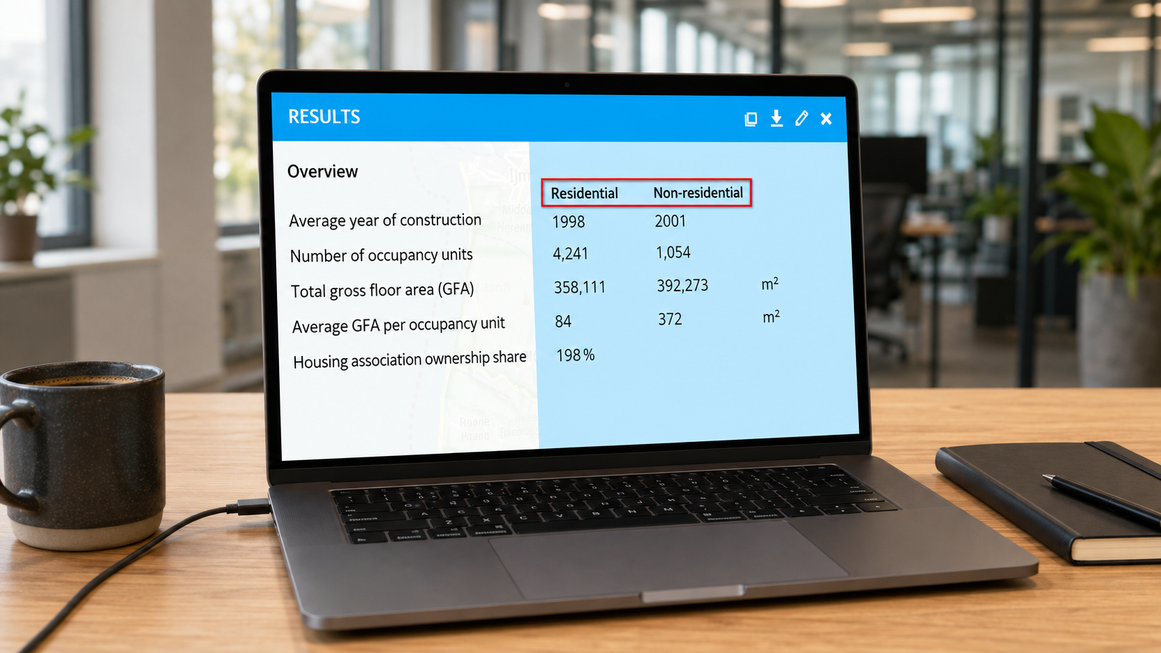
Organizations increasingly rely on data-driven decision-making. To support this, GeoApps 29.1 introduces improvements to analytical reporting. A new matrix view allows users to display analysis results in structured columns and categories, making reports easier to read and compare.

Benefits include:

  • Improved reporting clarity

  • Faster comparison between datasets

  • Better visibility into analytical results

  • Stronger support for policy and operational decisions

This enhancement provides greater value for organizations using GeoApps for monitoring, reporting, and strategic planning.
🖼️
Image not available
This image could not be loaded

Supporting Custom Application Development

In addition to standard functionality, GeoApps continues to support organizations that require custom solutions. Through the Developer Portal and extensive documentation, organizations can build tailored applications that integrate with specific workflows, data sources, and operational requirements. This flexibility allows GeoApps to grow alongside the needs of municipalities, utilities, environmental agencies, consultancies, and other GIS-driven organizations.

GeoApps 29.1 builds upon previous releases with new capabilities for application development, data management, and analytics.

From MapTour support and Multi-Edit functionality to management enhancements and improved reporting tools, this release helps organizations get more value from their geospatial data while improving efficiency across teams.

👉 Explore the latest GeoApps capabilities and discover how Release 29.1 can support your organization.


View All PostsGet a Demo

Related Posts

You might also like

CBAM 2026: Why Location and Material Data Are Becoming Increasingly Important for CO₂ Reporting

CBAM 2026: Why Location and Material Data Are Becoming Increasingly Important for CO₂ Reporting

From January 1, 2026, the Carbon Border Adjustment Mechanism (CBAM) will be fully implemented within the European Union. For many organizations, this means stricter requirements for CO₂ transparency and reporting.

January 5, 2026Read more
From Rigid to Smart GIS: Why More Organizations Are Switching to QGIS + GeoApps

From Rigid to Smart GIS: Why More Organizations Are Switching to QGIS + GeoApps

Many GIS environments are still stuck in old structures. High license costs, slow updates, and limited collaboration slow down innovation. Discover how organizations are moving to an open, flexible, and future-ready WebGIS with QGIS + GeoApps.

October 14, 2025Read more
How Interactive Maps Bring Clarity to Regional Sustainability Initiatives

How Interactive Maps Bring Clarity to Regional Sustainability Initiatives

Regional sustainability initiatives often become scattered across programmes, organisations and locations. Discover how interactive maps create one shared overview that improves visibility, coordination and collaboration.

September 30, 2025Read more
How Online Maps Help Ecological Consultancy Flourish

How Online Maps Help Ecological Consultancy Flourish

Digital maps make ecological consultancy work more efficient and transparent. Discover how GeoApps supports organizations in nature research, public participation, and policy development.

September 30, 2025Read more
Why GeoApps is the solution for consultancy firms in spatial planning

Why GeoApps is the solution for consultancy firms in spatial planning

GeoApps enables consultancy firms to make open data accessible to non-technical colleagues, work more efficiently, and create new revenue models.

September 30, 2025Read more
Optimal property management with GeoApps: Innovation for housing corporations

Optimal property management with GeoApps: Innovation for housing corporations

GeoApps gives housing corporations full control of their property portfolio. Visualize assets, drive sustainability, and monitor projects in one platform.

September 30, 2025Read more

Ready to Get Started?

Join thousands of users who are already using GeoApps to transform their spatial data workflows.

Get a Demo
GeoApps Viewer
Gasfabriek project
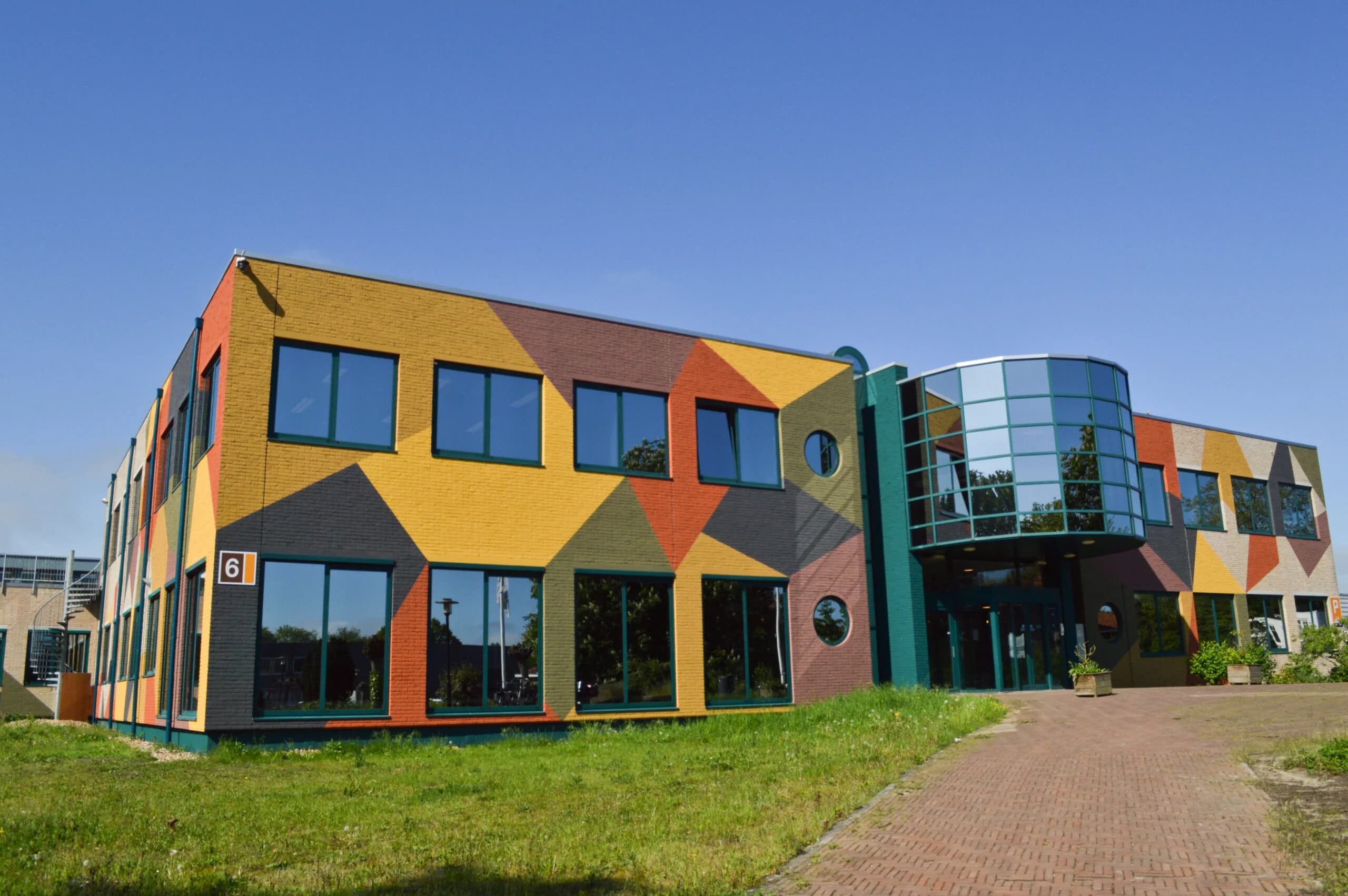
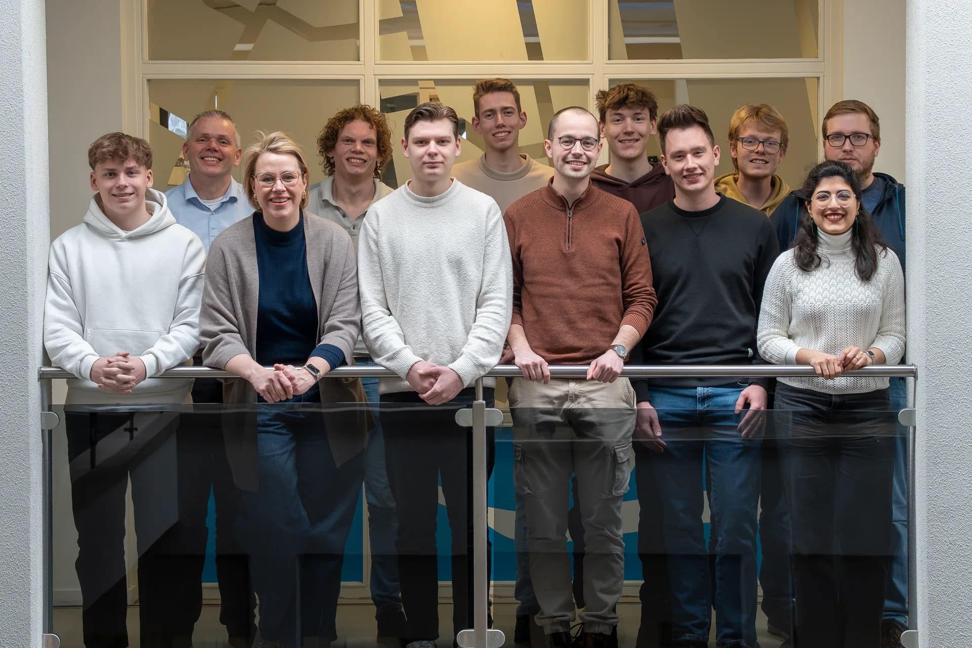
MapGear team office
Last Updated: August 12, 2026