More geodata should create more insight. Yet as GIS environments grow, the opposite can happen. Datasets become spread across project folders, different teams create their own copies and users spend more time figuring out which version is current than actually working with the information.
That is where geodata management becomes more than an administrative task. A clear structure determines whether people can find the right dataset, understand where it belongs and use it confidently across projects and departments. GeoApps brings project structure, search, maps, dashboards and role-specific applications together in one connected environment. As a result, organisations can create clearer GIS workflows without forcing every user to navigate the full complexity of the underlying data environment.
The data is there. The problem is knowing which version to trust.
GIS teams rarely struggle because they have too little spatial information. More often, the difficulty comes from too many copies, too many folders and too little clarity about which source should be used. As projects grow, datasets, map layers and applications accumulate with them. Without a logical structure, duplicate files can appear and separate teams may begin working with different versions of the same information.
Over time, this creates unnecessary maintenance and makes it harder to determine which dataset is current. GeoApps helps organisations structure datasets, layers and maps around specific projects or themes. Instead of placing everything in one large collection, information can be organised according to the work it supports. Consequently, users gain a clearer starting point and are less dependent on individual colleagues knowing where particular files are stored.
For organisations with multiple departments or external partners, that structure becomes increasingly important. A GIS environment should remain understandable even when the person who originally created the project is not available.
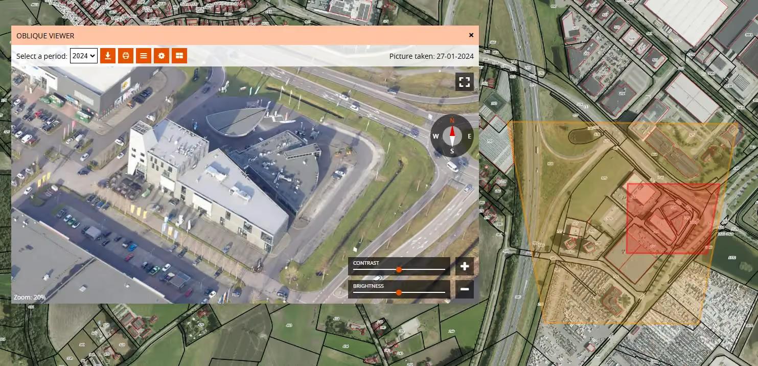
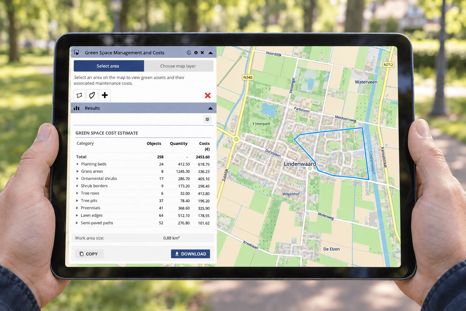
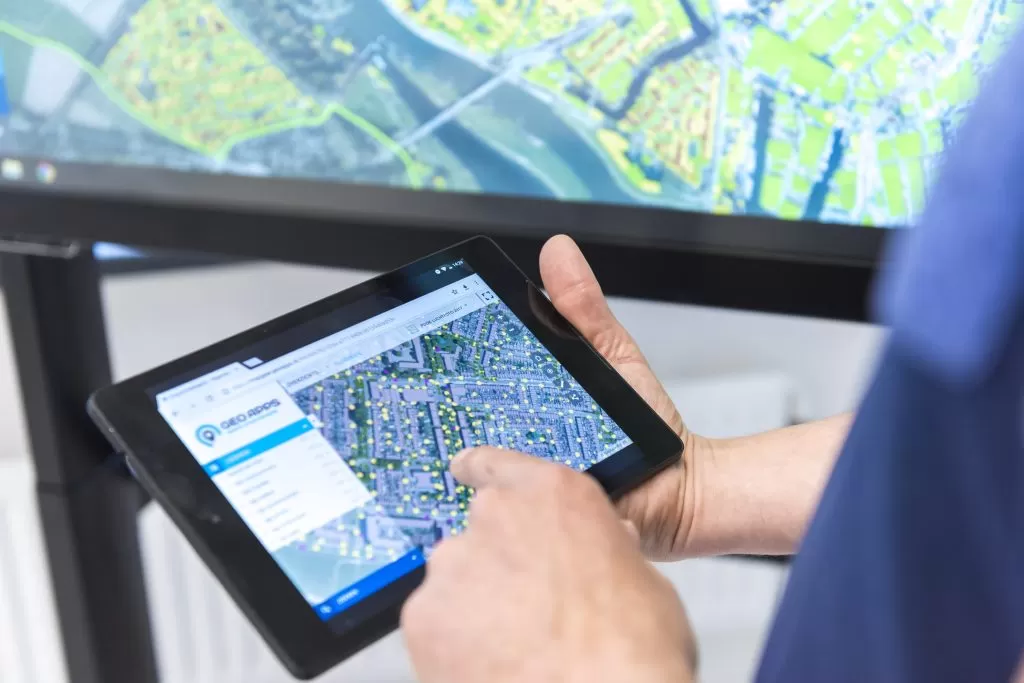
GeoApps data management interface showing structured spatial datasets and project information
If users have to search everywhere, the GIS workflow is already slowing them down.
The value of geodata depends on whether people can actually find it when they need it. When information is scattered across different folders and systems, even a simple search can interrupt the workflow. GeoApps allows users to search across relevant datasets, layers and project structures from one environment. Therefore, they can locate information without manually opening multiple folders or relying entirely on institutional knowledge about where something was saved.
Better findability can also help reduce unnecessary duplication. If a user cannot locate an existing dataset, creating another copy can feel like the easiest solution. However, each extra copy creates another version that may later need to be maintained, checked or updated. For GIS professionals, reducing that search friction means more time can be spent analysing, validating and applying spatial information rather than managing the path towards it.
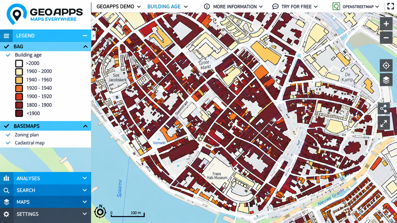
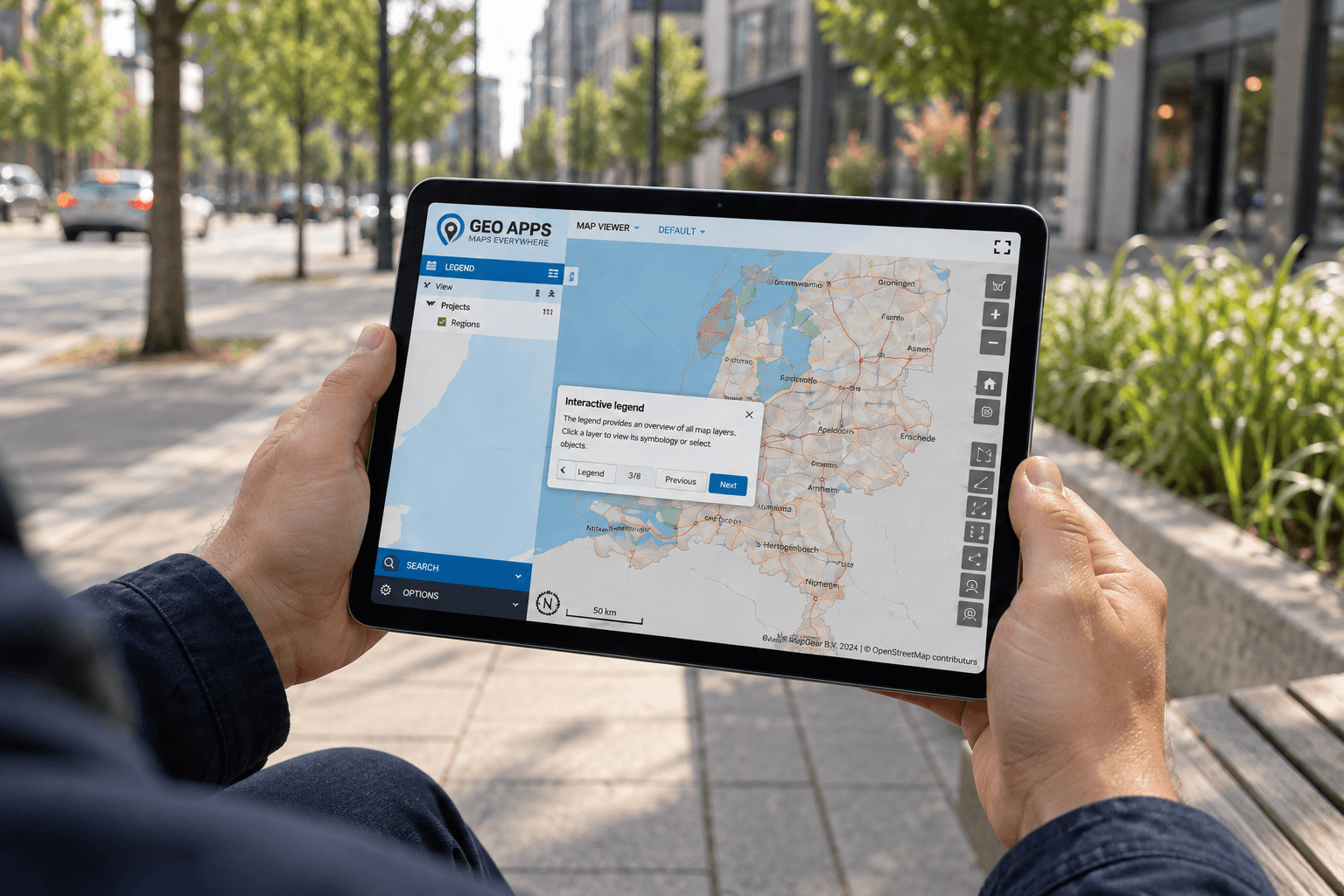
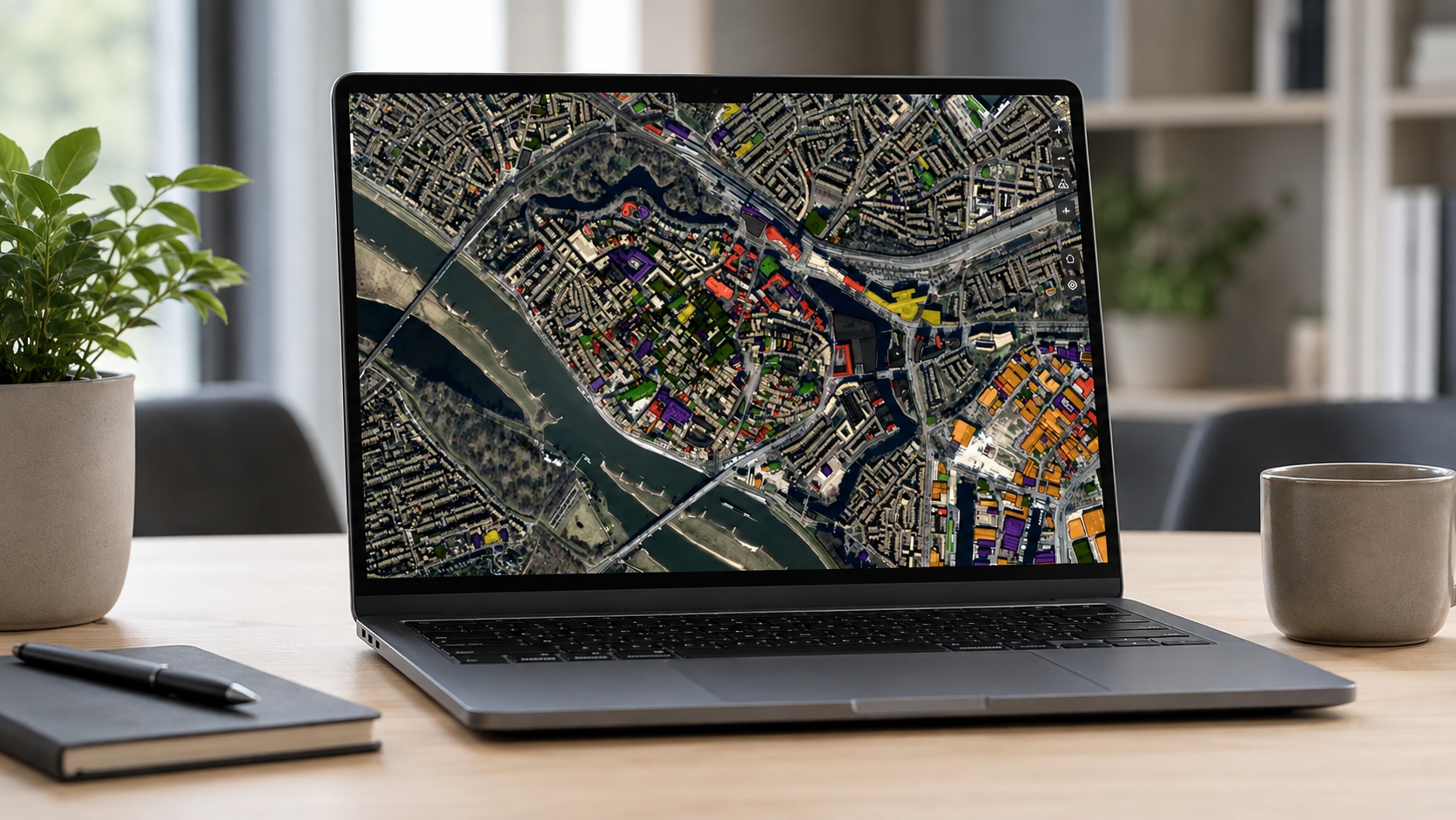
GeoApps interface helping users find and access relevant geodata within a GIS workflow
Not everyone needs the entire GIS. They need the right starting point.
A GIS specialist, policy adviser, project manager and fieldworker may all use the same organisation’s geodata, but they rarely need the same interface or level of detail. For example, a GIS specialist may need access to detailed layers and data structures, while a project manager may only need a map or dashboard focused on a particular area. A fieldworker may require only the datasets and functions connected to an inspection or operational task.
GeoApps allows organisations to configure maps, dashboards and applications around those different tasks and audiences. Instead of exposing every dataset and tool to every user, the environment can provide a clearer entry point for each workflow. This matters because accessibility does not mean simplifying GIS until useful functionality disappears. Rather, it means giving each user enough information and functionality to complete their work without navigating irrelevant complexity. As a result, specialists can retain the depth they need while occasional users receive a more focused experience.
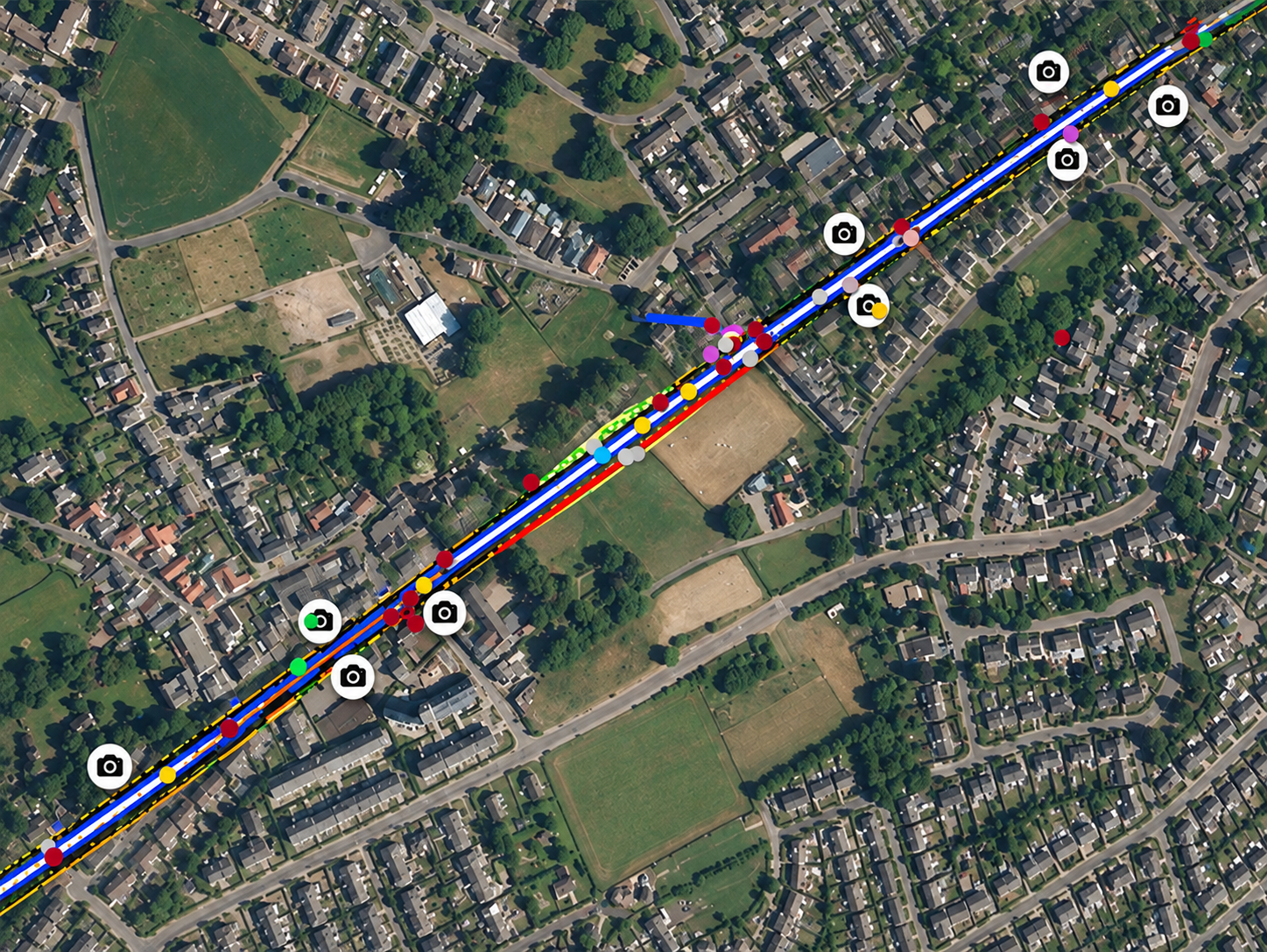
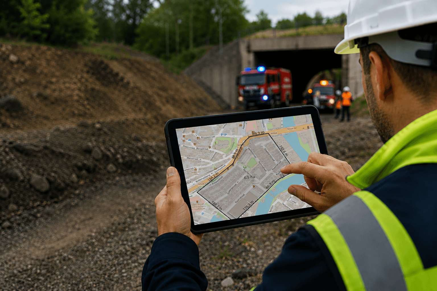
GeoApps application environment configured around specific GIS tasks and user workflows
Duplicate data creates more than clutter. It creates uncertainty.
Copying a dataset may solve an immediate project need, but repeated copies can quickly create a larger governance problem. One version gets updated, another does not, and eventually users may no longer know which source should be trusted. A more structured geodata environment helps teams work from shared data sources wherever possible. This can reduce unnecessary copying, simplify maintenance and make it easier to keep information consistent as the number of users and projects grows.
Importantly, this is not only a technical concern. When two teams make decisions using different versions of the same spatial information, data management becomes a decision-making problem. Clearer geodata management therefore supports more than tidy folders. It helps create a shared foundation for maps, analyses and applications across the organisation.
Better geodata management gives every workflow a stronger foundation.
The exact use case may differ between organisations, but the underlying questions are often the same: What data do we have? Where does it belong? Which information is current? And who needs access to it?
For municipalities, structured geodata can support areas such as spatial planning, asset management, policy development and operational workflows. Environmental and public-safety organisations may need to combine datasets from several sources, while consultancies may require clear project environments for internal teams and clients. In each case, the objective is not simply to store more geodata. It is to make spatial information easier to find, understand and use within the workflow where it creates value.
GeoApps supports that approach by combining project structure, search, maps, dashboards and configurable applications in one connected environment. As spatial needs grow, organisations can therefore build on a clearer foundation instead of adding more disconnected folders, copies and tools.
When people spend less time managing geodata, they can spend more time using it.
Strong GIS workflows begin with information that people can find and trust. When teams understand where datasets belong, which sources are current and how information connects to their work, collaboration becomes easier and the risk of working from outdated copies can be reduced.
Ultimately, good geodata management is not about creating the perfect folder structure. It is about removing the friction between having spatial data and actually being able to use it. GeoApps helps organisations structure geodata, improve findability and create focused spatial applications for different teams and workflows.
Is your GIS environment becoming harder to manage as your data grows?