Drawing in GIS seems simple, until it becomes a serious data challenge.
Drawing in GIS may appear straightforward. Users add points, lines and polygons, allowing spatial datasets to grow quickly. However, once several people work within the same environment, consistent registration becomes increasingly important.
Objects may be drawn differently, attribute information may not always be completed in the same way and it can become unclear which records are complete or current. The real challenge is therefore not simply drawing an object, but applying a clear structure while it is being registered.
Without consistent fields and agreements, objects remain visible on the map but are not necessarily described in the same way. Employees may then need to check information, fill in missing details or ask colleagues which registration is correct. Data collected quickly can therefore create additional work later.
Bring Drawing and Registration Together
Reliable object registration begins at the moment information is entered. Drawing geometry, adding attributes and managing forms should therefore be part of one connected workflow.
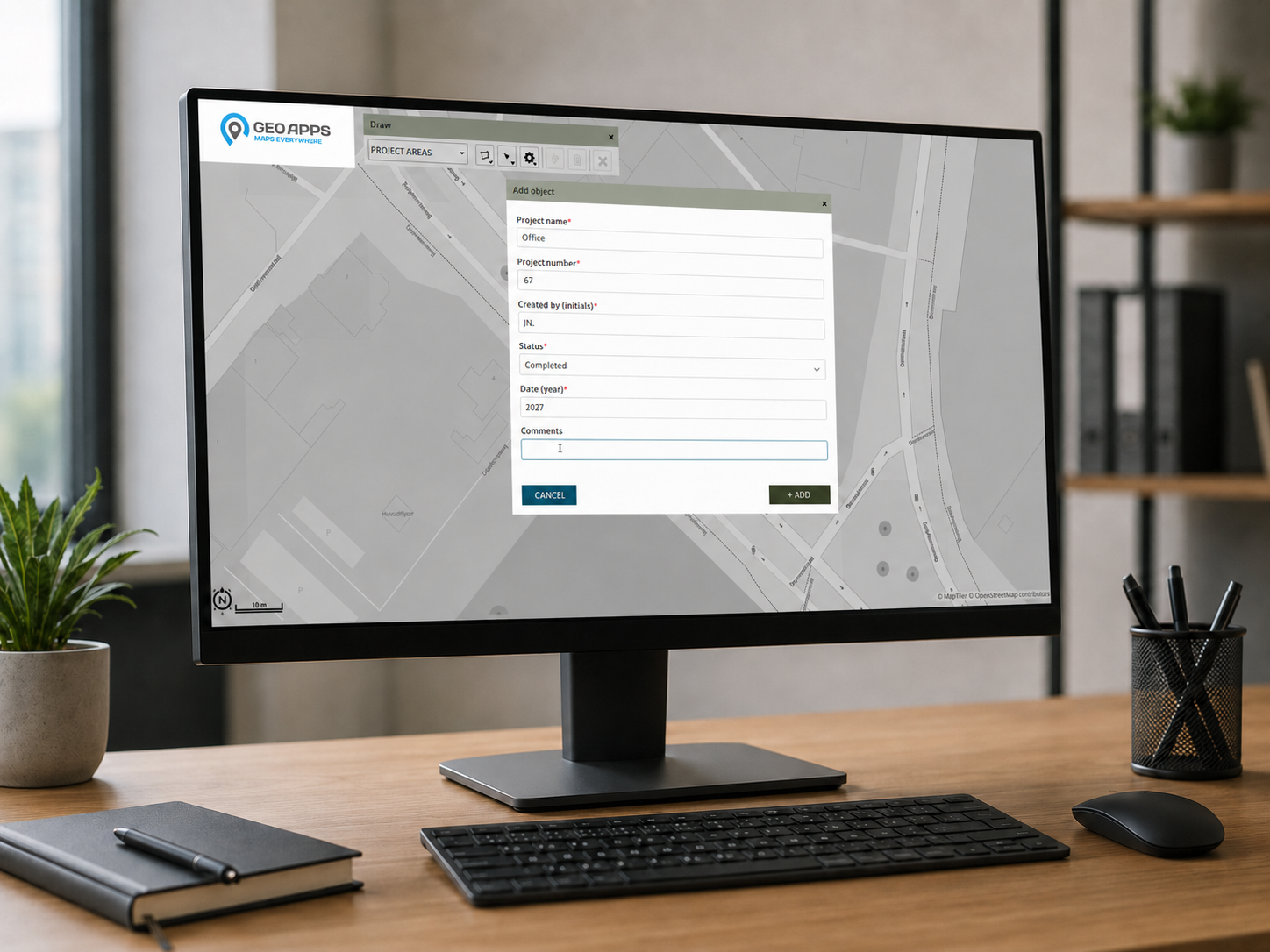
In GeoApps, a user first draws the geometry of an object, such as a building, site, tree, installation or project area. A form then captures the corresponding information, including a name, project number, status, date, note, project code, QR code or link.
The administrator determines in advance which information must be collected for each map layer. As a result, users work with the same structure, even when several employees add or update records.
GeoApps supports this workflow with functions such as:
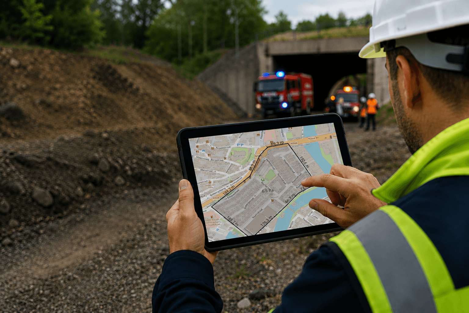
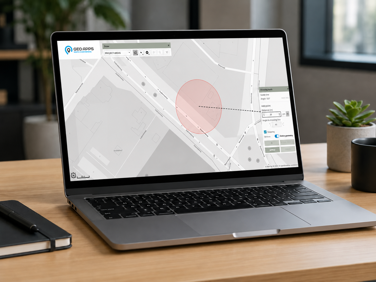
Drawing with guide lines and fixed angles: accurately create points, lines and polygons, including corners of precisely 90 degrees.
Snapping between datasets: connect new geometry correctly to existing objects and avoid unwanted gaps or overlaps.
Object registration with attributes: attach relevant information such as names, numbers, statuses, dates and project codes.
Smart Forms for individual map layers: define which fields must be completed, what type of information they accept and which fields are mandatory.
Conditional fields: show follow-up questions only when they are relevant to an earlier answer.
Buffering and distance selection: identify objects within a chosen distance of a road, building, location or risk area.
Attribute tables and intelligent selections: filter records using their properties and quickly find information relevant to a task or analysis.
Temporary markings: add visual annotations without changing the underlying object registration.
This means users do not have to choose between working quickly and registering information carefully. Geometry and its associated information are captured directly within the same environment.
Turn Geometry Into Useful Object Information
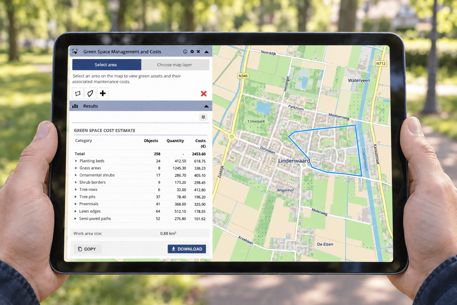
An object on a map consists of more than a point, line or polygon. A drawn building may show where it is located, but it does not explain its function, current status, responsible person or most recent inspection date. Object registration connects this information directly to the geometry. When a user draws one hundred buildings, each building receives its own record with the relevant attribute information. The result is therefore not only a visual map, but also a structured dataset.
This information can support inspections, maintenance, project management and fieldwork. Employees can see where an object is located, what action is needed, who is responsible and which information has already been recorded.
Because geometry and attributes remain connected, project teams can filter, compare and analyse objects without first rebuilding or correcting the dataset.

Create Consistency with Smart Forms
Administrators configure a Smart Form for each map layer within the GeoApps management environment. They determine which information users must record, which fields are required and how information should be entered.
A field can contain free text, a number, date, selection list, status, link or QR code. A building layer can therefore request different information from a layer containing trees, installations or project areas.
The administrator configures the form once. Users then complete it whenever they register or update an object, whether they are working in the office or in the field. This creates one shared registration structure across teams and projects.
Smart Forms help prevent users from entering the same type of information in different ways. They also make it clearer which data is needed before a record can be considered complete.
Show Only Relevant Questions with Conditional Fields
Not every field is relevant to every object. A long form containing unnecessary questions slows registration and increases the chance that users overlook important information.
Conditional fields make follow-up questions dependent on an earlier answer. Users only see the fields that apply to the selected object or situation.
For example, an employee registering a building may indicate that it does not contain a lift. Questions about lift capacity, maintenance dates and inspections then remain hidden. When the employee selects that a lift is present, those additional fields automatically appear.
The same principle can be applied to the status of a task or project. When an object has the status In progress, fields for notes or follow-up actions can appear. Once the status changes to Completed, fields that are no longer relevant can remain hidden.
Conditional fields keep forms shorter and more focused. Users complete fewer unnecessary fields, while administrators can still collect all the information needed for each situation.
More Control Without Unnecessary Data Entry
When drawing, object registration and form management work together, spatial information becomes useful immediately. Users follow the same structure and understand which details must be recorded for each object.This reduces differences between registrations and makes data easier to filter, analyse and share. Project teams spend less time checking or repairing information and can move more quickly to the next task.
The same benefit applies to fieldwork. An employee can draw an object, complete the relevant fields and update its status while on location. Colleagues then have access to the same current information.Good object registration does not mean asking users to complete more fields. It means showing them the right fields at the right moment. With accurate drawing tools, configurable Smart Forms and conditional fields, GeoApps helps organisations create spatial datasets that support management, collaboration and decision-making.
Would you like to see how drawing tools, Smart Forms and object registration come together in GeoApps?