Skip to main contentSkip to navigation
ExploreJobsAbout usContact
Log in
MapGear Logo
JobsNewsAbout MapGear
Log inContact
MapGear, known through GeoAppsGeoApps
GeoApps Logo
Apps
Solutions
Platform
About us
Get advice
GeoApps Logo

GeoApps is the leading software platform for GIS applications and spatial data, enabling organizations to make data-driven decisions.

Solutions

  • Urban Planning
  • Infrastructure
  • Real Estate
  • Environment & Climate
  • Energy Transition
  • Safety & Risk

Products

  • GeoApps
  • Solutions
  • ESG-Maps
  • MapServices
  • TouchTable
  • Consultation

Apps

  • Viewer
  • Dashboard
  • Fieldwork
  • MapTour
  • MapTalk
  • Custom

For whom?

  • Municipalities
  • Provinces
  • Environmental Services
  • Engineering
  • Contractors
  • Safety Regions

Platform

  • Integrations
  • Documentation
  • GIS Lexicon
  • System Status
  • Changelog
  • Support
  • Subscriptions

Company

  • About Us
  • Careers
  • Contact
  • Partners
  • News & Blog
  • Events

Stay up-to-date

Subscribe to our newsletter to get the latest updates on our products and services. You can unsubscribe at any time.

Keep an eye on our socials too

Stay connected with us through our social media channels and get the latest updates on our products and services.

Quality & trust

MapGear is ISO 9001 and ISO 27001 certified and meets the highest quality and security standards for our products and services.

ISO 9001 Certificering
ISO 27001 Certificering
QGIS Membership 2026
© 2026 MapGear B.V. All rights reserved.
Terms & conditionsPrivacy PolicySustainability statement
GeoApps V27: Direct Connect, Fieldwork and Custom GIS Apps | GeoApps Blog
Featured image for GeoApps V27: Smarter Data Connections, Accurate Fieldwork and Flexible GIS Applications
View All Posts
📸 Featured
News

GeoApps V27: Smarter Data Connections, Accurate Fieldwork and Flexible GIS Applications

GeoApps V27 introduced Direct Connect, GeoApps Fieldwork and custom application capabilities. Discover how organizations can connect data sources, improve field operations and build GIS workflows tailored to their needs.

April 4, 2022
GeoApps Team
3 min

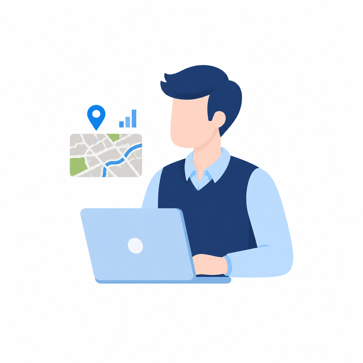
GIS Is About More Than Maps

Organizations increasingly rely on geospatial data to support daily operations, asset management and decision-making. However, valuable information often remains scattered across multiple systems, databases and workflows.

To work efficiently, teams need more than a map viewer. They need a platform that connects information, simplifies field operations and adapts to the way they work.

GeoApps V27 introduced several improvements designed to help organizations manage geospatial data more effectively. From direct database integrations to advanced field data collection and flexible application development, this release focused on creating a more connected GIS environment.

Connect Existing Data Sources Without Duplication

Many organizations already maintain valuable information in asset management systems, operational databases and internal applications.

Traditionally, this data often needs to be exported, synchronized or manually uploaded before it can be visualized in a GIS platform. This process creates additional work and increases the risk of outdated information.

Direct Connect was introduced to solve this challenge.

By connecting GeoApps directly to existing data sources, organizations can visualize and use information while keeping data managed within its original environment.

This approach offers several advantages:

  • Access to up-to-date information

  • Reduced manual data handling

  • Fewer duplicate datasets

  • Better control over sensitive information

  • More efficient data management

Instead of moving data between systems, organizations can focus on using information to support better decisions.

🖼️
Image not available
This image could not be loaded

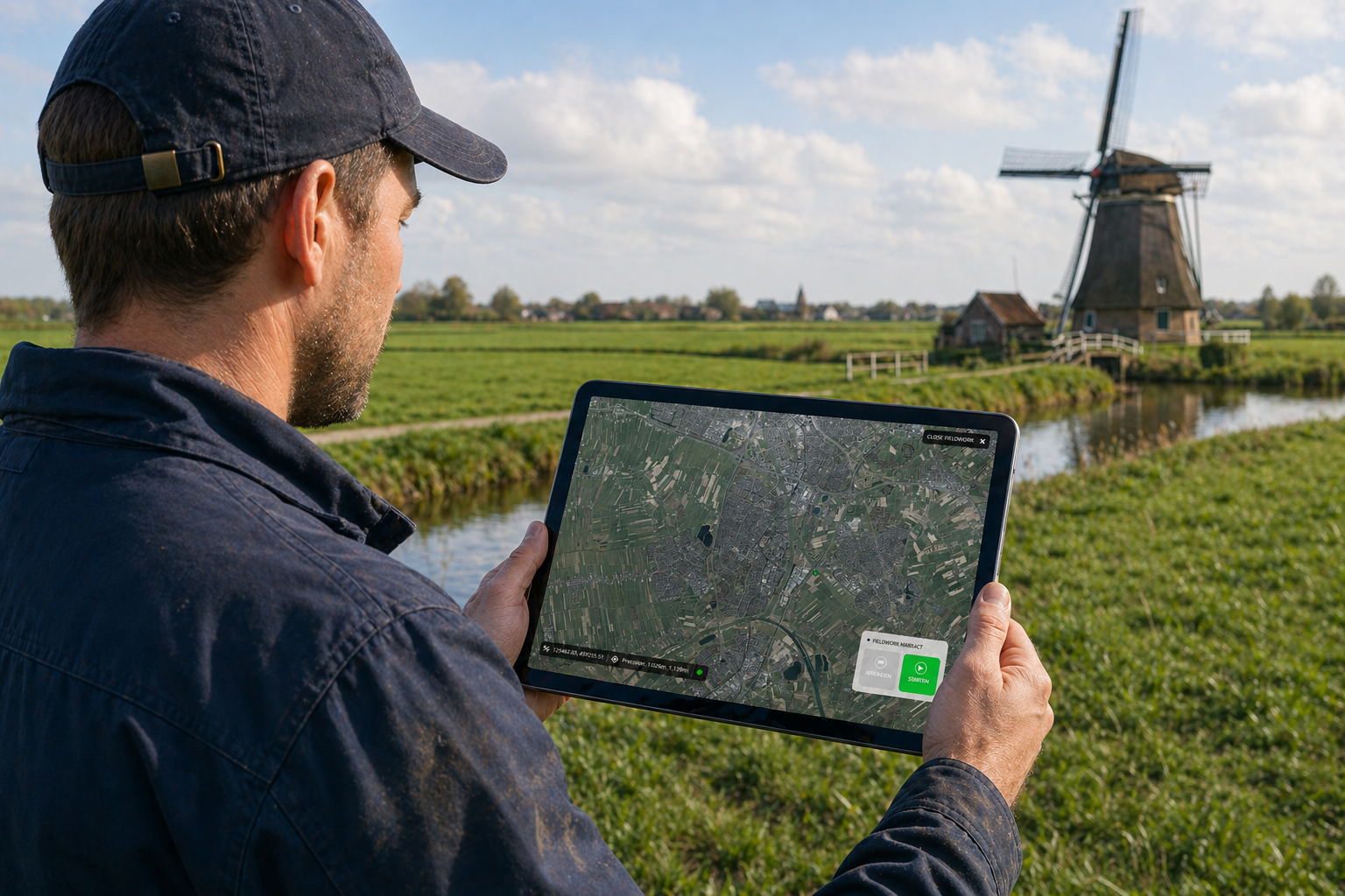
Improve Field Data Collection and Accuracy

Reliable data starts in the field. Inspections, surveys and asset inventories all depend on accurate information being collected efficiently.

GeoApps V27 introduced GeoApps Fieldwork to support these activities.

The solution enables field teams to collect information directly within GeoApps while integrating with professional GPS equipment for higher accuracy. Data can be captured, validated and stored directly within GIS projects, reducing administrative work and improving data quality.

Benefits include:

  • More accurate field measurements

  • Faster data collection processes

  • Reduced manual processing

  • Improved collaboration between office and field teams

  • Better insight into real-world conditions

For organizations managing infrastructure, public space or environmental assets, accurate field data forms the foundation for effective planning and management.

Build Applications Around Your Workflow

Every organization has unique processes and requirements. While standard GIS functionality provides a strong foundation, some workflows require additional flexibility.

GeoApps V27 expanded the possibilities for creating custom GIS applications.

Organizations can configure maps, workflows and functionality around the way users work, rather than forcing users to adapt to predefined software processes.

This flexibility allows teams to create solutions that support:

  • Internal operational workflows

  • Asset management processes

  • Inspection and maintenance activities

  • Public information portals

  • Project-specific GIS applications

As a result, GIS becomes more closely aligned with everyday operations.

A Platform for Connected GIS Workflows

The role of GIS continues to evolve. Today, organizations expect more than visualization alone. They need systems that connect information, support collaboration and help teams make informed decisions.

The capabilities introduced in GeoApps V27 contribute to this vision by combining data integration, field operations and application flexibility within a single platform.

By reducing manual processes and improving access to reliable information, organizations can work more efficiently while maintaining better control over their geospatial data.

🖼️
Image not available
This image could not be loaded

Supporting Smarter Decisions with Geospatial Data

Effective GIS solutions bring together people, processes and information.

The innovations introduced in GeoApps V27 helped organizations strengthen data connections, improve field operations and create workflows tailored to their needs.

These capabilities continue to demonstrate how connected geospatial data can support more efficient operations, better collaboration and smarter decision-making.

👉 Request a demo to discover how GeoApps can support your organization with connected GIS workflows and actionable geospatial insights.

View All PostsGet a Demo

Related Posts

You might also like

GIS platforms in the Netherlands: what is the difference and where does GeoApps fit?

GIS platforms in the Netherlands: what is the difference and where does GeoApps fit?

A GIS platform is more than a map viewer. It supports organisation-wide spatial analysis, data-driven decision-making and communication using GIS and geospatial data.

January 14, 2026Read more
CBAM 2026: Why Location and Material Data Are Becoming Increasingly Important for CO₂ Reporting

CBAM 2026: Why Location and Material Data Are Becoming Increasingly Important for CO₂ Reporting

From January 1, 2026, the Carbon Border Adjustment Mechanism (CBAM) will be fully implemented within the European Union. For many organizations, this means stricter requirements for CO₂ transparency and reporting.

January 5, 2026Read more
From Rigid to Smart GIS: Why More Organizations Are Switching to QGIS + GeoApps

From Rigid to Smart GIS: Why More Organizations Are Switching to QGIS + GeoApps

Many GIS environments are still stuck in old structures. High license costs, slow updates, and limited collaboration slow down innovation. Discover how organizations are moving to an open, flexible, and future-ready WebGIS with QGIS + GeoApps.

October 17, 2025Read more
How to Create Clarity in a Region Full of Sustainable Initiatives

How to Create Clarity in a Region Full of Sustainable Initiatives

Municipalities and regions are dealing with countless sustainability initiatives. GeoApps helps bring data together and make it transparent so that policies and collaboration are better supported.

September 30, 2025Read more
How Online Maps Help Ecological Consultancy Flourish

How Online Maps Help Ecological Consultancy Flourish

Digital maps make ecological consultancy work more efficient and transparent. Discover how GeoApps supports organizations in nature research, public participation, and policy development.

September 30, 2025Read more
MapTalk, the ideal participatory tool to involve citizens in spatial projects

MapTalk, the ideal participatory tool to involve citizens in spatial projects

MapTalk makes citizen participation simple and effective. From home or at community events, residents can share feedback that helps shape better spatial projects and smarter decisions.

September 30, 2025Read more

Ready to Get Started?

Join thousands of users who are already using GeoApps to transform their spatial data workflows.

Get a Demo
GeoApps Viewer
Gasfabriek project
MapGear team office
Last Updated: June 19, 2026