A project meeting starts with a straightforward question: what do we know about this location? Answering it, however, can mean opening a cadastral dataset, checking property information, searching a business register and comparing the results with your organisation’s own maps.
For GIS teams, bringing these sources together can take considerable preparation. Meanwhile, colleagues need information they can use without having to navigate every underlying system.
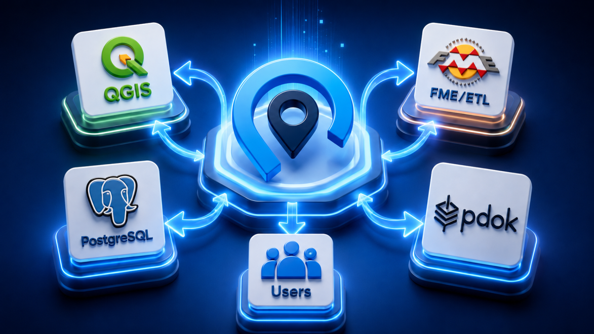
GeoApps connects databases, GIS services, APIs and business systems with map applications. Its integration capabilities include connections to Dutch cadastral, property valuation and business information. In addition, the QGIS Plugin links specialist desktop work with wider access through GeoApps. Together, these connections help make source information easier to use within the workflows that depend on it.
Stop making every question a search across separate systems
An organisation’s spatial information rarely belongs in a single system. For example, a database may hold asset records, a GIS service may provide background information, and a business application may manage operational data. Each source serves a purpose. Yet users often need to understand them together.
GeoApps can connect directly to sources such as PostgreSQL/PostGIS databases, WMS and WFS services, GeoServer and REST APIs. Depending on the connection and application configuration, information can then be made available through viewers, dashboards, fieldwork applications and other tools.
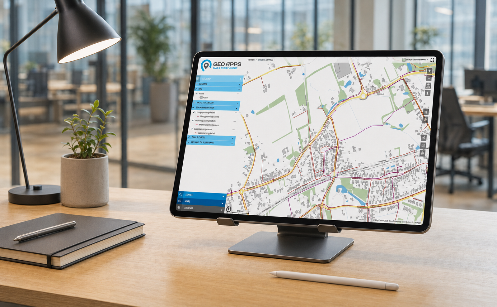
For many connections, a separate integration layer is unnecessary. However, some workflows require data to be cleaned, transformed or combined before it can be used. In those situations, tools such as FME or other extract, transform and load solutions can support the process.
As a result, organisations can build on their existing infrastructure while choosing the connection method that suits each workflow. Where direct access is appropriate, it can reduce reliance on repeated exports and duplicate datasets. The source system continues to manage the original information, while GeoApps provides an accessible way to work with it.
Give property and business records the context they deserve
A register entry becomes more useful when people can see the location it describes. By connecting administrative records to parcels, buildings and project areas, users can explore relationships that are difficult to interpret in a separate table.
GeoApps supports this through integrations with several Dutch registers. Although these sources are specific to the Netherlands, the underlying principle applies internationally: connect authoritative information with the geography of the question being asked.
First, the BRK integration provides access to information from the Dutch cadastral register, including parcels and registered property rights. Within GeoApps, that information can be viewed alongside an organisation’s own layers and project boundaries. For instance, a project team can examine the parcels associated with a development area while keeping the surrounding spatial context in view.
Similarly, the WOZ integration connects to Kadaster’s bulk property valuation query service. WOZ refers to the Dutch system for assessing property values. Information retrieved through this service can support analysis across multiple properties and be combined with buildings, neighbourhoods and other spatial datasets.
Meanwhile, the KvK integration connects business information from the Netherlands Chamber of Commerce with locations and areas. Potential applications include business park inventories, local economic analysis and area-based communication. The available information and functionality depend on the KvK service used and how the integration is configured.
Together, these connections help users move between individual records and the wider area they are investigating. Access rights, service conditions and the suitability of the data therefore remain part of setting up each application.
Keep your QGIS workflow and bring more colleagues into the picture
For many GIS specialists, QGIS is where detailed analysis, data preparation and map styling happen. Once that work is ready, the next challenge is making relevant information available to colleagues who use maps as part of their work.
The GeoApps QGIS Plugin creates a more direct connection between these environments. Users can load data from GeoApps into QGIS and upload data from QGIS to projects and datasets within GeoApps. The plugin is available within GeoApps subscriptions.
Consequently, specialists can continue working in their familiar desktop environment while reducing some of the separate downloading and uploading involved in exchanging datasets.
From there, GeoApps can make suitable information available through applications designed around different users and tasks. For example, a field team may need an application for recording observations, whereas a project manager may need a viewer or dashboard.
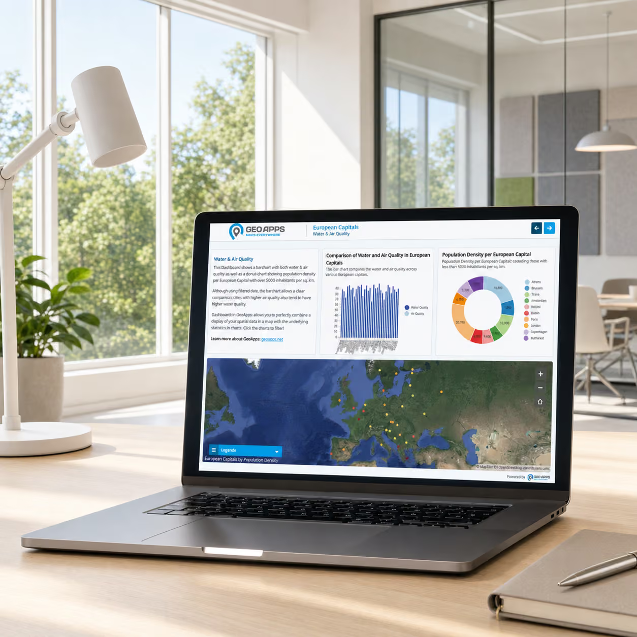
The plugin supports the transfer of data between QGIS and GeoApps. However, how that information is presented, maintained and shared still depends on the application setup and the organisation’s working arrangements.
Make the connection useful beyond the GIS team
A working connection is only the beginning. Its value becomes clear when someone can answer a practical question with the information it provides.
Before configuring an integration, identify who needs the data, which task it supports and how current the information must be. After all, a property assessment, a business inventory and a field inspection may involve location data, but each requires a different combination of detail, access and presentation.
Next, make the source and meaning of the information clear. Users should be able to distinguish official register data from internal records, project proposals and analytical results. At the same time, teams need clear responsibilities for maintaining connections and managing access.
Finally, test the application with the people who will use it. Can they find the relevant location? Do they understand the information shown? Can they complete their task without asking a specialist to interpret every step?
By addressing these questions, organisations can turn an integration into a useful part of daily work. GeoApps supports that process by connecting existing sources with applications that make spatial information accessible to a wider group of users.
Bring your data sources into everyday use
Which databases, registers or business systems does your team need to connect? Start with the workflow you want to improve, then explore the integration that supports it.
Explore GeoApps integrations or contact the GeoApps team to discuss your data sources, applications and working processes.