Skip to main contentSkip to navigation
About usContactVacancies
Log in
MapGear Logo
About MapGearJobs
Log inContact
MapGear, known through GeoAppsGeoApps
GeoApps Logo
Apps
Solutions
Platform
About us
Subscriptions
Get a Demo
GeoApps Logo

GeoApps is the leading software platform for GIS applications and spatial data, enabling organizations to make data-driven decisions.

Solutions

  • Urban Planning
  • Infrastructure
  • Real Estate
  • Environment & Climate
  • Energy Transition
  • Safety & Risk
  • GIS solutions

Products

  • GeoApps
  • Solutions
  • ESG-Maps
  • MapServices
  • TouchTable
  • Consultation
  • Platform

Apps

  • Viewer
  • Dashboard
  • Fieldwork
  • MapTour
  • MapTalk
  • Custom
  • QGIS plugin

For whom?

  • Municipalities
  • Provinces
  • Environmental Services
  • Engineering
  • Contractors
  • Safety Regions
  • Water authorities

Platform

  • Integrations
  • Documentation
  • GIS Lexicon
  • System Status
  • Changelog
  • Support
  • Subscriptions

Company

  • About Us
  • Careers
  • Contact
  • Partners
  • News & Blog
  • Events
  • Case studies

Stay up-to-date

Subscribe to our newsletter to get the latest updates on our products and services. You can unsubscribe at any time.

Keep an eye on our socials too

Stay connected with us through our social media channels and get the latest updates on our products and services.

Quality & trust

MapGear is ISO 9001 and ISO 27001 certified and meets the highest quality and security standards for our products and services.

ISO 9001 Certificering
ISO 27001 Certificering
QGIS Membership 2026
© 2026 MapGear B.V. All rights reserved.
Terms & conditionsPrivacy PolicySustainability statement
14 Years of MapGear: Making Geodata Accessible to All | GeoApps Blog
Featured image for Celebrating 14 years of MapGear
View All Posts
📸 Featured
General

Celebrating 14 years of MapGear

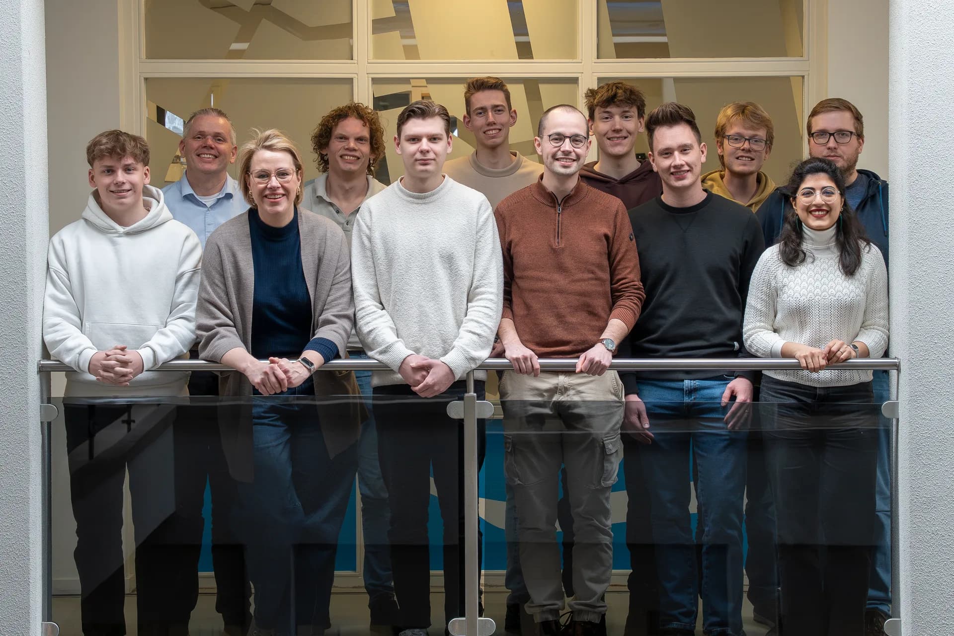
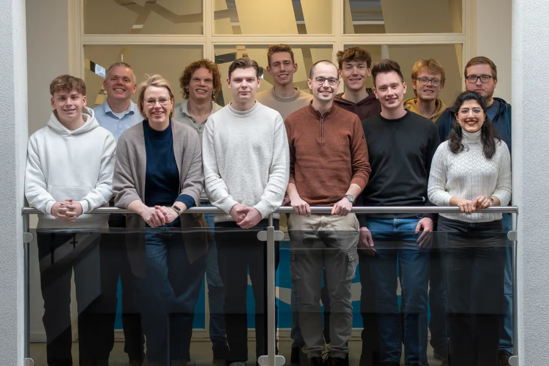
MapGear celebrates its 14th anniversary in 2026. From its beginnings in Zwolle to a team of around 15 colleagues in Deventer, one ambition has remained constant: making geographical information understandable, accessible and useful for the people who need it.

September 11, 2026
MapGear Team
4 min

Fourteen years ago, MapGear started with a straightforward belief: geographical information should be easier to understand and use.

Since then, technology has changed, more spatial data has become available, and the questions organisations need to answer have grown more complex. Throughout that journey, however, our purpose has remained the same: helping people work with geographical information.

As MapGear celebrates its 14th anniversary in 2026, we are looking back at the places, projects and people that have shaped our work.

From a beginning in Zwolle to a team in Deventer

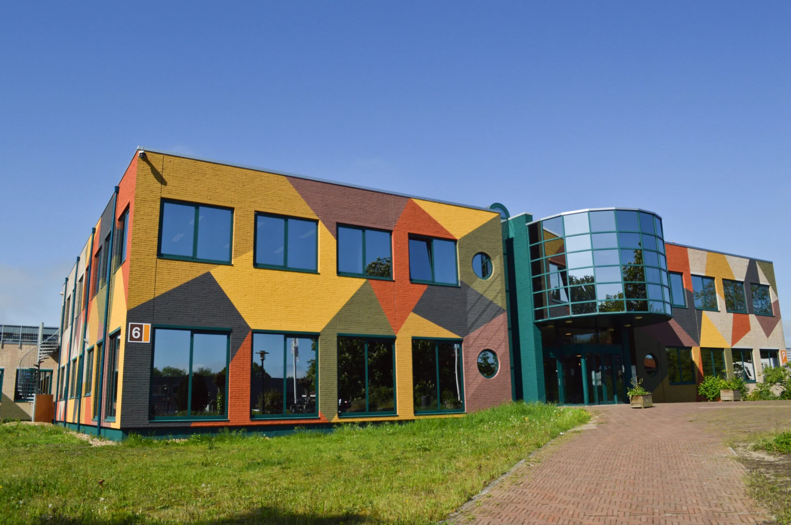
MapGear’s story began in Zwolle, the Netherlands. Over the following years, that starting point grew into a team of around 15 colleagues working from the Gasfabriek in Deventer.

Today, our work brings us together with municipalities, provincial authorities, regional water authorities, environmental agencies and consultancies across the Netherlands. Although these organisations have different responsibilities, they share a need to make spatial information useful in their daily work.

Meanwhile, the technology supporting that work has continued to develop. There are more possibilities for collecting, analysing and sharing geodata, alongside growing expectations about how easily people should be able to access it.

For MapGear, this has meant developing our solutions while staying close to the practical questions behind each project.

Making complex information easier to work with

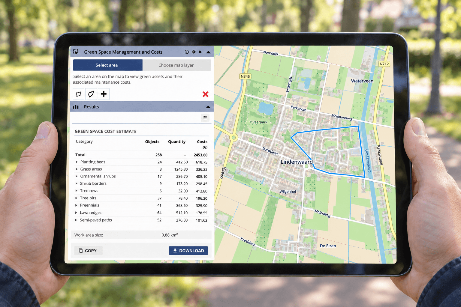
Over the past 14 years, MapGear has developed a range of applications for visualising, analysing and sharing geographical information. These include online map viewers, GIS applications, dashboards, data portals, participation tools, interactive tables and sustainability maps.

Each application serves a different purpose. Nevertheless, they share the same starting point: information should be understandable, accessible and useful.

🖼️
Image not available
This image could not be loaded

Through GeoApps and our wider range of solutions, we help organisations make spatial information available to the people who need it. Depending on the application, that audience may include GIS specialists, operational teams, policymakers, residents or external partners.

The work therefore extends beyond presenting data on a map. It also involves considering who will use the information, what they need to understand and how an application can support their task.

Behind every application are people working together

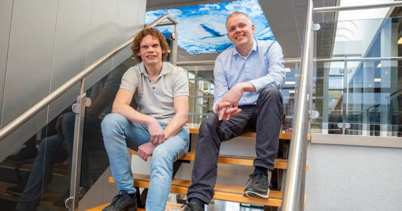
Technology is an important part of MapGear’s story. Ultimately, however, that story has been shaped by people.

Behind each project are colleagues, clients and partners bringing their knowledge and ideas to the table. Their different perspectives help connect technical possibilities with the needs of an organisation and its users.
🖼️
Image not available
This image could not be loaded

This collaboration matters across the subjects we work on, including spatial planning, sustainability, infrastructure, public participation and the living environment. Although the questions differ, progress depends on understanding both the information and the people working with it.

That is why this anniversary is also an opportunity to say thank you. To our colleagues, clients and partners: thank you for your trust, your ideas and your contribution to the past 14 years.

Taking the same purpose into the next chapter

Looking ahead, new technology will continue to create opportunities for working with geographical information. At the same time, organisations will face new questions about the places they manage, develop and serve.

MapGear will continue to build on the purpose that started this journey: making geographical information accessible and helping organisations get more value from their geodata.

As we explore new applications and approaches, the practical needs of users remain our starting point. After all, the value of spatial information becomes clear when people can understand it and put it to work.

Here’s to the next 14 years, and to everyone who will be part of them.

Discover what we can build together

Whether you want to share spatial information more widely or make it easier to use within a specific workflow, we would be happy to explore the possibilities with you.

Contact the MapGear team to discuss your organisation’s GIS and geodata needs.
View All PostsGet a Demo

Related Posts

You might also like

Create Quotes Faster with GeoApps: Quantities and Costs Directly from the Map

Create Quotes Faster with GeoApps: Quantities and Costs Directly from the Map

Location-based quotes often require time-consuming measuring, counting and data collection before the actual calculation can begin. With GeoApps, quantities, areas and costs can be calculated directly from the map as a basis for a more efficient quoting process.

September 22, 2026Read more
Nature restoration becomes measurable: what municipalities should prepare now

Nature restoration becomes measurable: what municipalities should prepare now

The European Nature Restoration Regulation makes reliable monitoring of urban green increasingly important. Discover what this means for municipalities and how spatial data helps demonstrate green development.

August 25, 2026Read more
Connect Your Data to the People Who Need It with GeoApps

Connect Your Data to the People Who Need It with GeoApps

Your spatial data may be spread across databases, public registers and business systems. GeoApps helps bring that information into accessible map applications. Discover how direct connections, Dutch register integrations and the QGIS Plugin support the journey from source data to everyday use.

August 3, 2026Read more
Interactive GeoApps Walkthroughs: Faster GIS Onboarding

Interactive GeoApps Walkthroughs: Faster GIS Onboarding

Interactive walkthroughs bring guidance directly into GeoApps, helping users learn workflows in context, discover relevant functionality and work more independently without constantly switching to manuals or training material.

July 17, 2026Read more
On-Prem vs. SaaS: Where Should GIS Live in 2026?

On-Prem vs. SaaS: Where Should GIS Live in 2026?

Many organisations are weighing on-premises GIS against SaaS. Discover why a hybrid architecture often provides the best balance between control, flexibility and manageable technical operations.

July 16, 2026Read more
Why GIS Projects Fail (And It’s Rarely Because of the Software)

Why GIS Projects Fail (And It’s Rarely Because of the Software)

A powerful GIS platform cannot compensate for unclear ownership, fragmented data or disconnected teams. Discover why successful GIS environments depend as much on people, processes and responsibilities as they do on technology.

July 13, 2026Read more

Ready to Get Started?

Join thousands of users who are already using GeoApps to transform their spatial data workflows.

Get a Demo
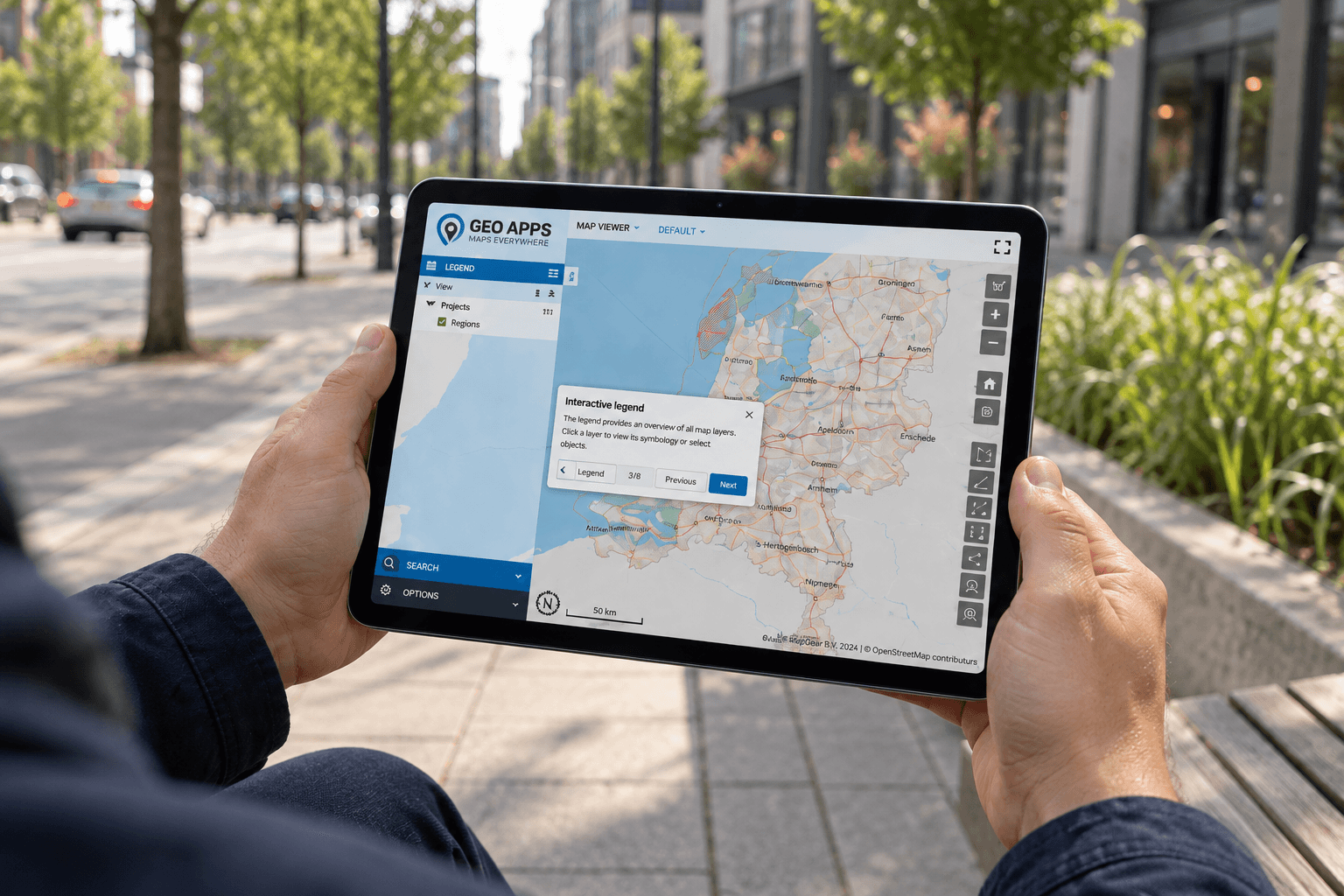
GeoApps Viewer
Gasfabriek project
MapGear team office
Last Updated: October 20, 2026