Back to projects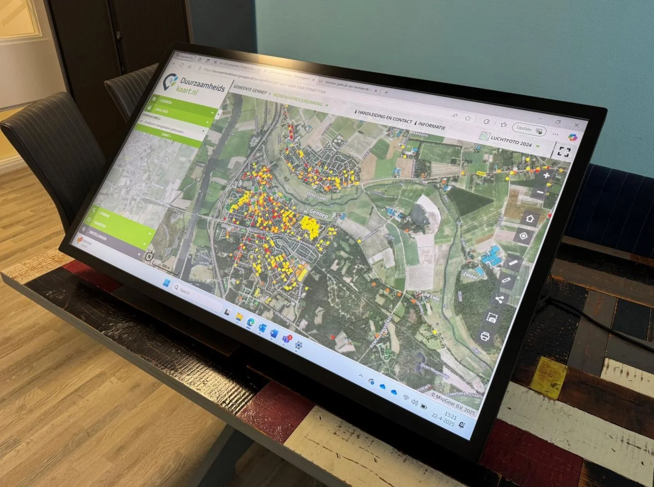
Participation in spatial plans with maps and 3D
Interactive sessions with TouchTable, GeoApps and MapTalk for understandable options.
Residents grasp plans faster when scenarios are visualised on maps and in 3D. MapGear connects presentation and online participation.

Contact us
Want to know what we can do for your organisation? Contact us for a no-obligation demo. Special requirements? No problem — leave your details below.