CAD
CAD (Computer-Aided Design) is digital drafting of plans, sections, and technical drawings. In geo practice AutoCAD, DWG, and DXF are common: lines, polygons, and annotations later used as GIS layers or underlays in a viewer.
Municipalities and firms combine CAD designs with PDOK topography and own registers. Via FME or desktop GIS drawings are transformed to WGS84/RD and published. In GeoApps, CAD-derived layers appear in the Viewer next to WMS/WFS and 3D models.
CAD is not BIM: BIM adds semantics and lifecycle. CAD is not GIS: GIS focuses on spatial analysis and publishing. CAD is often the start of design data that later lands in GIS and BIM.
From theory to practice: GeoApps offers user-friendly GIS solutions to get you started right away. Discover how our apps and platforms help you visualize, analyze, and share geographic data.
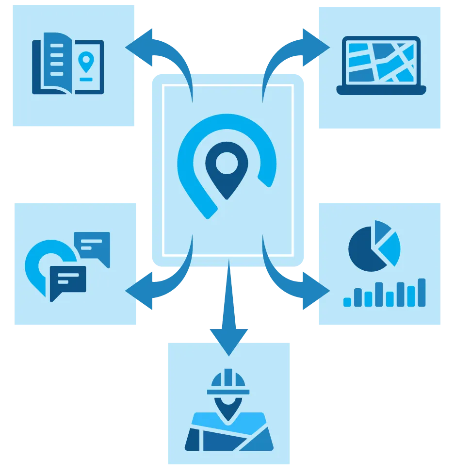
Discover how GeoApps helps your organization with professional GIS solutions.