BIM
BIM (Building Information Modeling) is a digital model of a building or infrastructure where geometry and information meet: materials, functions, phasing, and maintenance. Design, construction, and operations share one model instead of loose drawings.
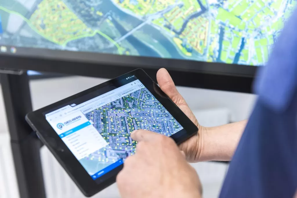
In Dutch practice BIM files (IFC, Revit) often sit next to GIS: the context map with BGT/BAG and PDOK, the design model in 3D. GeoApps integrates with 3D engines that support BIM so you can show IFC/Revit models in viewers and apps without separate specialist software for every viewer.
BIM is not GIS and not CAD alone. CAD delivers 2D/3D drawings; GIS manages spatial context and analysis; BIM holds rich building objects. Together they form the chain from design to map to participation.
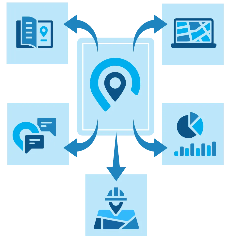
From theory to practice: GeoApps offers user-friendly GIS solutions to get you started right away. Discover how our apps and platforms help you visualize, analyze, and share geographic data.
Discover how GeoApps helps your organization with professional GIS solutions.