Skip to main contentSkip to navigation
ExploreJobsAbout usContact
Log in
MapGear Logo
JobsNewsAbout MapGear
Log inContact
MapGear, known through GeoAppsGeoApps
GeoApps Logo
Apps
Solutions
Platform
About us
Get advice
Integration hero background

Integrate FME with GeoApps

Transform and convert data between hundreds of formats with FME for optimal GeoApps integration

FME logo

What is FME?

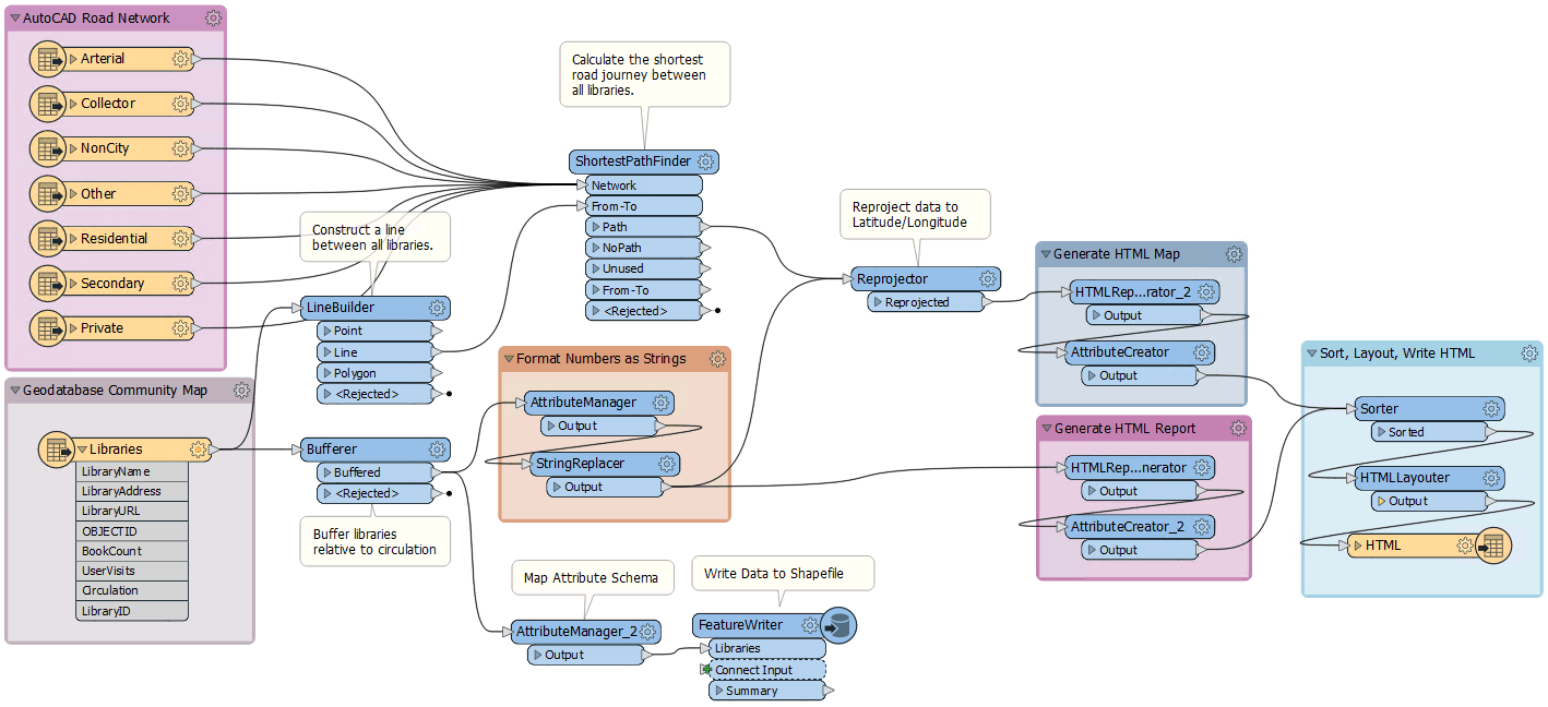
FME is a popular ETL (Extract, Transform, Load) application developed by Safe Software. Due to the wide variety of formats and powerful transformation capabilities, FME is perfect for preparing and converting data for use in GeoApps.

FME and GeoApps

FME and GeoApps strengthen each other: maps, data and collaboration on one GIS platform.

The integration with GeoApps enables automating complex data workflows and seamlessly transferring data between different systems and formats.

  • Setup & manage
  • Viewer guide
  • More Information
FME in GeoApps

Benefits of FME with GeoApps

Data Transformation

Convert data between different formats

Workflow Automation

Automate complex data workflows

Format Support

Support for hundreds of data formats

Ready to get started?

Contact us to discuss how we can help with your integration needs.
Request Demo Contact Us
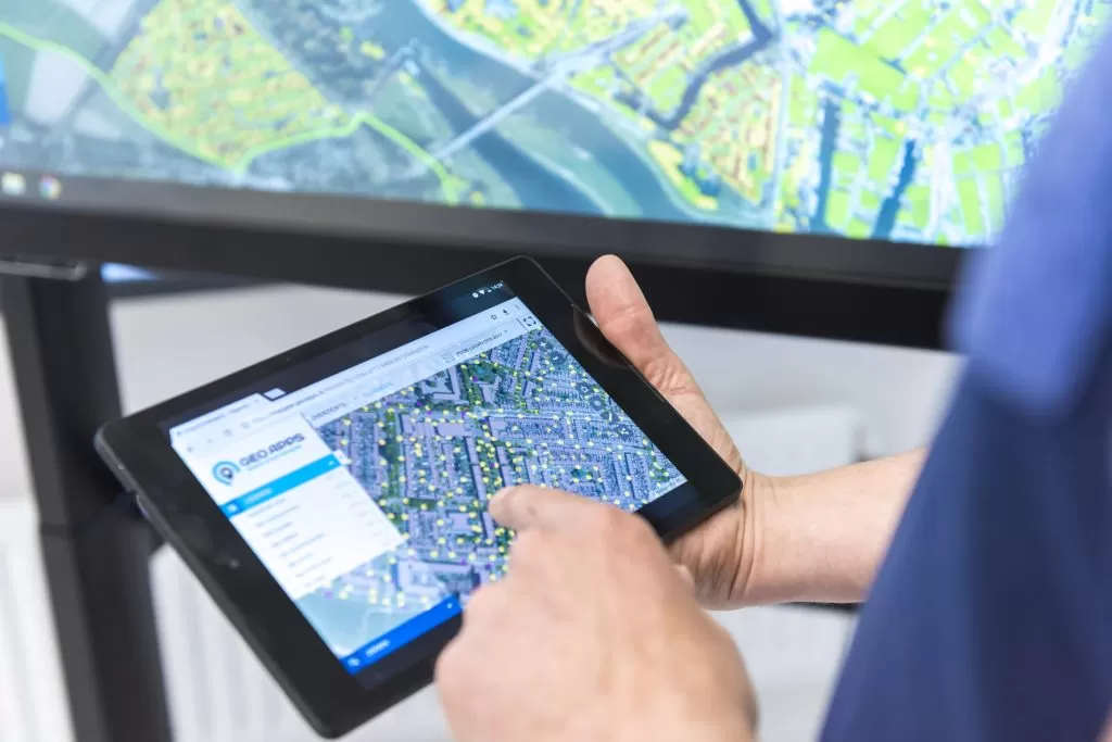
GeoApps Viewer
Gasfabriek project
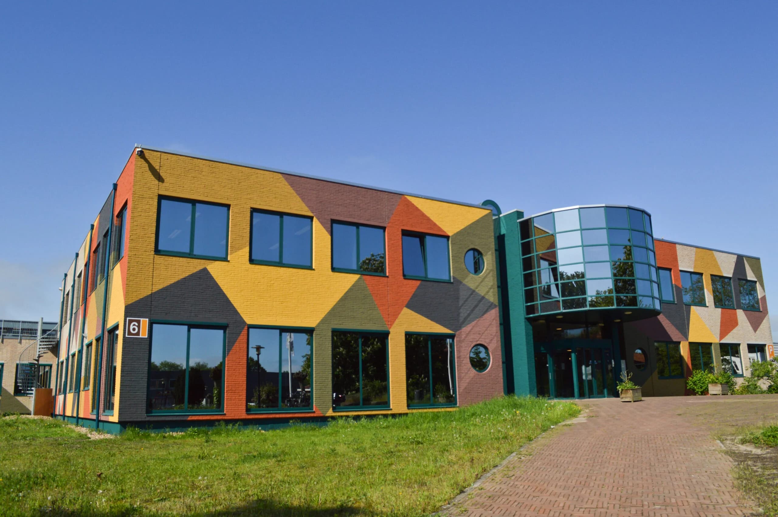
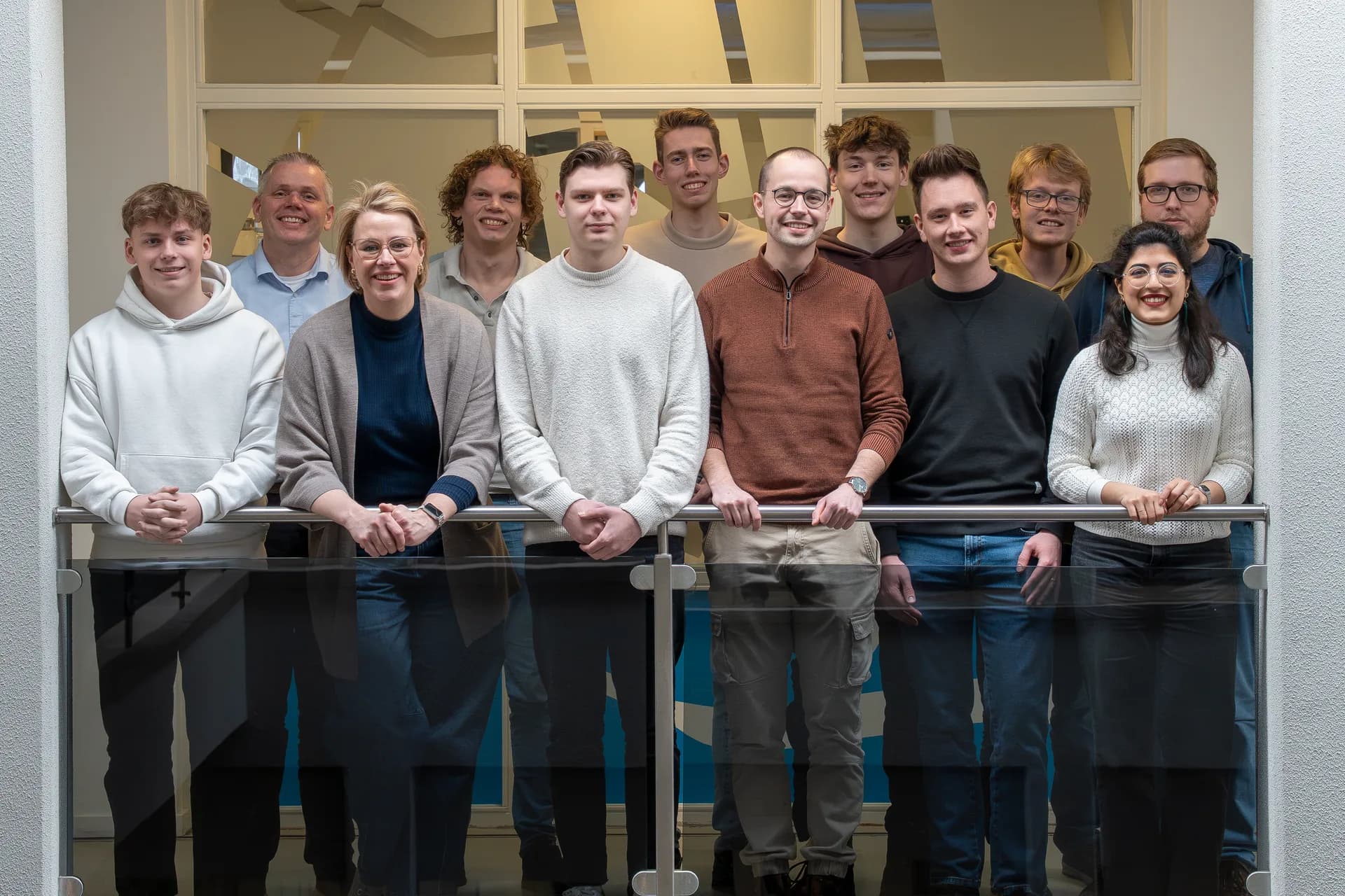
MapGear team office

Frequently asked questions about FME

Practical answers about integrating FME with GeoApps.

What is FME?
FME is a popular ETL (Extract, Transform, Load) application developed by Safe Software. Due to the wide variety of formats and powerful transformation capabilities, FME is perfect for preparing and converting data for use in GeoApps.
How does FME work with GeoApps?
The integration with GeoApps enables automating complex data workflows and seamlessly transferring data between different systems and formats.
How do I set up FME with GeoApps?
In the GeoApps admin environment you set up the connection or extension. Then you configure FME to write to the right database or source once you are back online. See our documentation or contact us for implementation.
Is the FME integration included in GeoApps?
Many standard integrations are included with your GeoApps subscription. For FME, this page and our documentation explain which steps and licences apply.
GeoApps Logo

GeoApps is the leading software platform for GIS applications and spatial data, enabling organizations to make data-driven decisions.

Solutions

  • Urban Planning
  • Infrastructure
  • Real Estate
  • Environment & Climate
  • Energy Transition
  • Safety & Risk
  • GIS & cartography

Products

  • GeoApps
  • Solutions
  • ESG-Maps
  • MapServices
  • TouchTable
  • Consultation
  • Platform

Apps

  • Viewer
  • Dashboard
  • Fieldwork
  • MapTour
  • MapTalk
  • Custom
  • QGIS plugin

For whom?

  • Municipalities
  • Provinces
  • Environmental Services
  • Engineering
  • Contractors
  • Safety Regions
  • Water authorities

Platform

  • Integrations
  • Documentation
  • GIS Lexicon
  • System Status
  • Changelog
  • Support
  • Subscriptions

Company

  • About Us
  • Careers
  • Contact
  • Partners
  • News & Blog
  • Events
  • Case studies

Stay up-to-date

Subscribe to our newsletter to get the latest updates on our products and services. You can unsubscribe at any time.

Keep an eye on our socials too

Stay connected with us through our social media channels and get the latest updates on our products and services.

Quality & trust

MapGear is ISO 9001 and ISO 27001 certified and meets the highest quality and security standards for our products and services.

ISO 9001 Certificering
ISO 27001 Certificering
QGIS Membership 2026
© 2026 MapGear B.V. All rights reserved.
Terms & conditionsPrivacy PolicySustainability statement