
Connect to Web Map Services for standardized map data access and visualization
Web Map Service (WMS) is an OGC standard that provides a simple HTTP interface for requesting geo-referenced map images from one or more distributed geospatial databases.
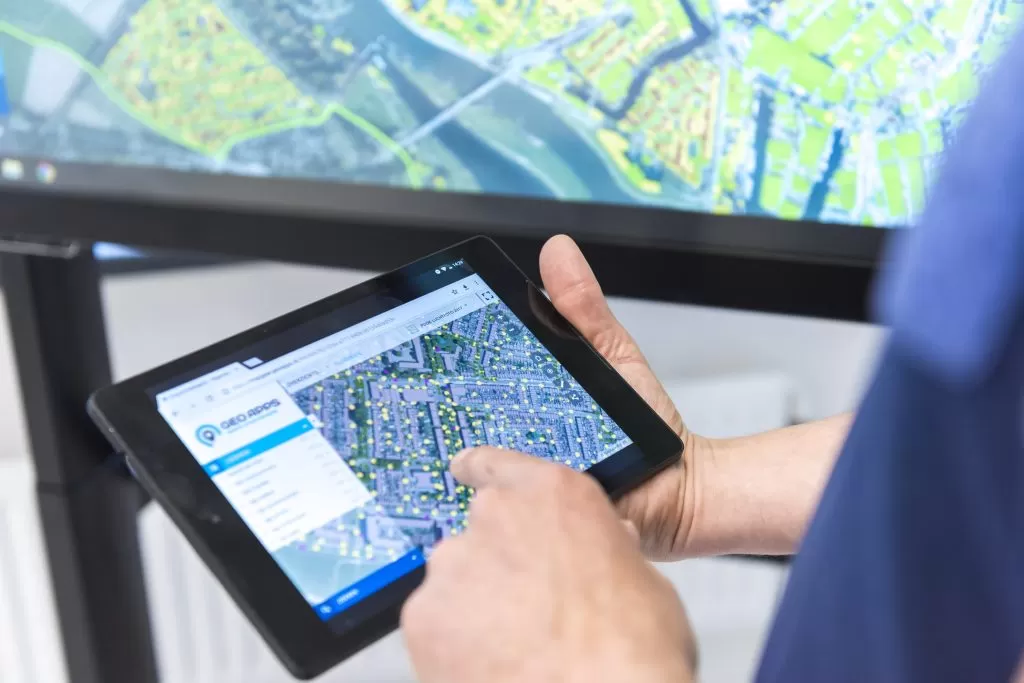
How WMS connects to the GeoApps GIS platform for maps, data and collaboration.
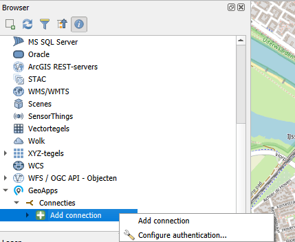
You add external WMS URLs in GeoApps; the viewer displays those layers. Conversely, you can use Layer Services in GeoApps to publish your map layers as WMS so other WebGIS or desktop apps can display your GeoApps data.
Display map layers from external sources
Based on the Open Geospatial Consortium standard
Connect to a wide variety of WMS services
Contact us to discuss how we can help with your integration needs.


Practical answers about integrating WMS with GeoApps.

