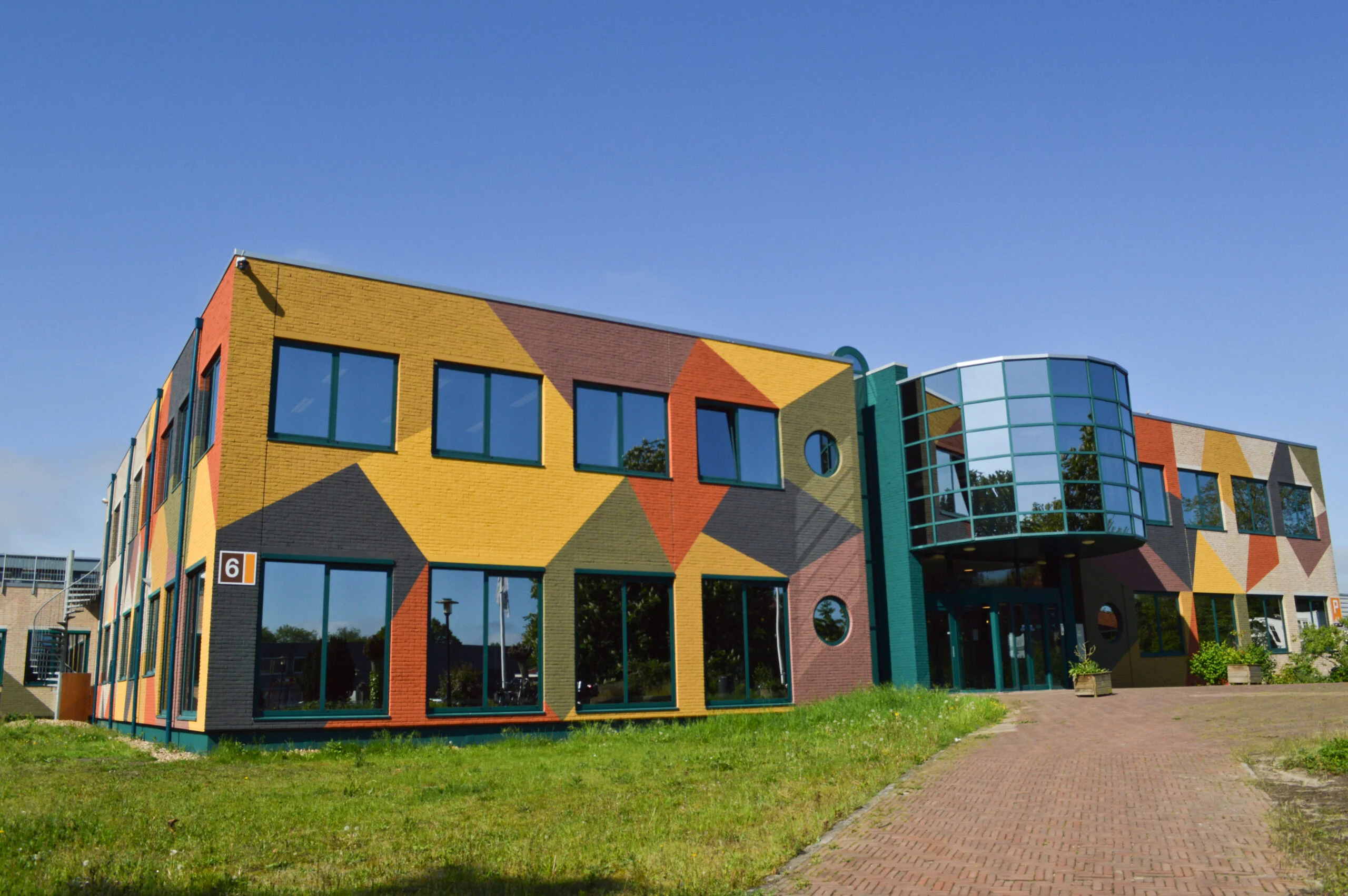
The Digital Accessibility Map (DBK) was implemented with GeoApps to support safety and enforcement. On one map, organizations combine real-time vehicle positions, spatial analyses, asset management, and floor plans – for faster situation awareness and better decision-making.
Discover how GeoApps helps organizations optimize their operations

Discover how GeoApps helps municipalities with spatial planning, citizen participation, and sustainability monitoring with powerful geospatial solutions.

Discover how GeoApps helps safety regions with crisis management, incident response, and prevention with geospatial solutions.

Discover how GeoApps helps environmental services with environmental monitoring, compliance, and nature management with advanced geospatial solutions.


Track vehicles and units live on the map for direct insight into deployment and accessibility.
Perform spatial analyses for accessibility, response times, and risk areas.
Manage and visualize assets (vehicles, equipment, objects) linked to location.
The Digital Accessibility Map is built on the GeoApps platform. Organizations can map real-time vehicles, perform spatial analyses, manage assets, and view floor plans – all in one environment for safety and enforcement.

"solutions.dbk.quote.text"
See how the Digital Accessibility Map (DBK) was implemented with GeoApps and what benefits it offers for safety and enforcement.

Please accept cookies to play this video
Discover our apps that perfectly complement this solution