Skip to main contentSkip to navigation
ExploreAbout usContactJobs
Log in
MapGear Logo
NewsAbout MapGearJobs
Log inContact
MapGear, known through GeoAppsGeoApps
GeoApps Logo
Apps
Solutions
Platform
About us
Get advice
  1. Home
  2. /Resources
  3. /What is GIS?

What is GIS?

An introduction to Geographic Information Systems: what GIS is, how desktop, web and mobile work together, where it is used, and where GeoApps sits in that landscape.

GIS is the backbone of location intelligence: from cadastral parcels to climate maps and public participation. Specialists analyse in desktop GIS; everyone else opens maps in the browser. This article explains what GIS is, how desktop, web and mobile fit together, and where GeoApps sits in that landscape.

Definition: more than a map

GIS stands for Geographic Information System. It links locations on earth to information: not only where something is, but what it is, when it changed, and how it relates to its surroundings. That makes patterns visible that often stay hidden in spreadsheets or reports.

Core parts of a GIS

A working GIS rests on three pillars that reinforce each other:

  • • Data: vector (points, lines, polygons), raster (satellite, elevation), and attribute tables
  • • Software: from desktop (QGIS, ArcGIS Pro) to web platforms and mobile field apps
  • • People and processes: who manages data, which standards apply, how results are shared

Desktop, web, and mobile

Organizations increasingly combine GIS types. Specialists prepare and analyze in desktop GIS (QGIS or ArcGIS Pro); teams, executives and external parties work via web GIS in the browser; field staff capture data on the go. The art is one reliable data source and clear publishing to the right audience — that publishing layer is where GeoApps Viewer sits.

Where GIS is used in the Netherlands

In the public sector GIS supports policy and operations at municipalities, provinces, water boards, and national government. In the market you see utilities, construction, real estate, environment, and logistics – from climate adaptation to asset management and participation.

What is a GIS viewer?

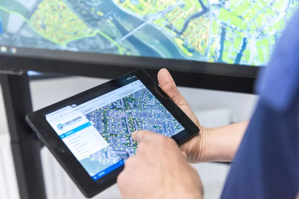
A GIS viewer is the web map colleagues, policymakers and project teams actually open: toggle layers, query objects, share a link — no desktop GIS. GeoApps Viewer is that layer: PDOK and your own data in one map, with user management.

Who works with it?

Not everyone needs to be a GIS specialist to benefit. Policy staff, project leads, and communications use maps and dashboards; GIS specialists build data models, analyze, and publish. Read more in our article on the GIS specialist.

Related in the lexiconMore in the knowledge baseWhat is a GIS specialist?What is a GIS viewer?

From insight to broad use

GeoApps is the web GIS for sharing analyses and maps with colleagues, executives and citizens — without everyone needing desktop GIS. Governments, city departments and consulting and engineering firms already work this way.

Book a demo
Get Started with GeoApps

Ready to start your GIS project?

Contact Us
GeoApps Viewer
Gasfabriek project
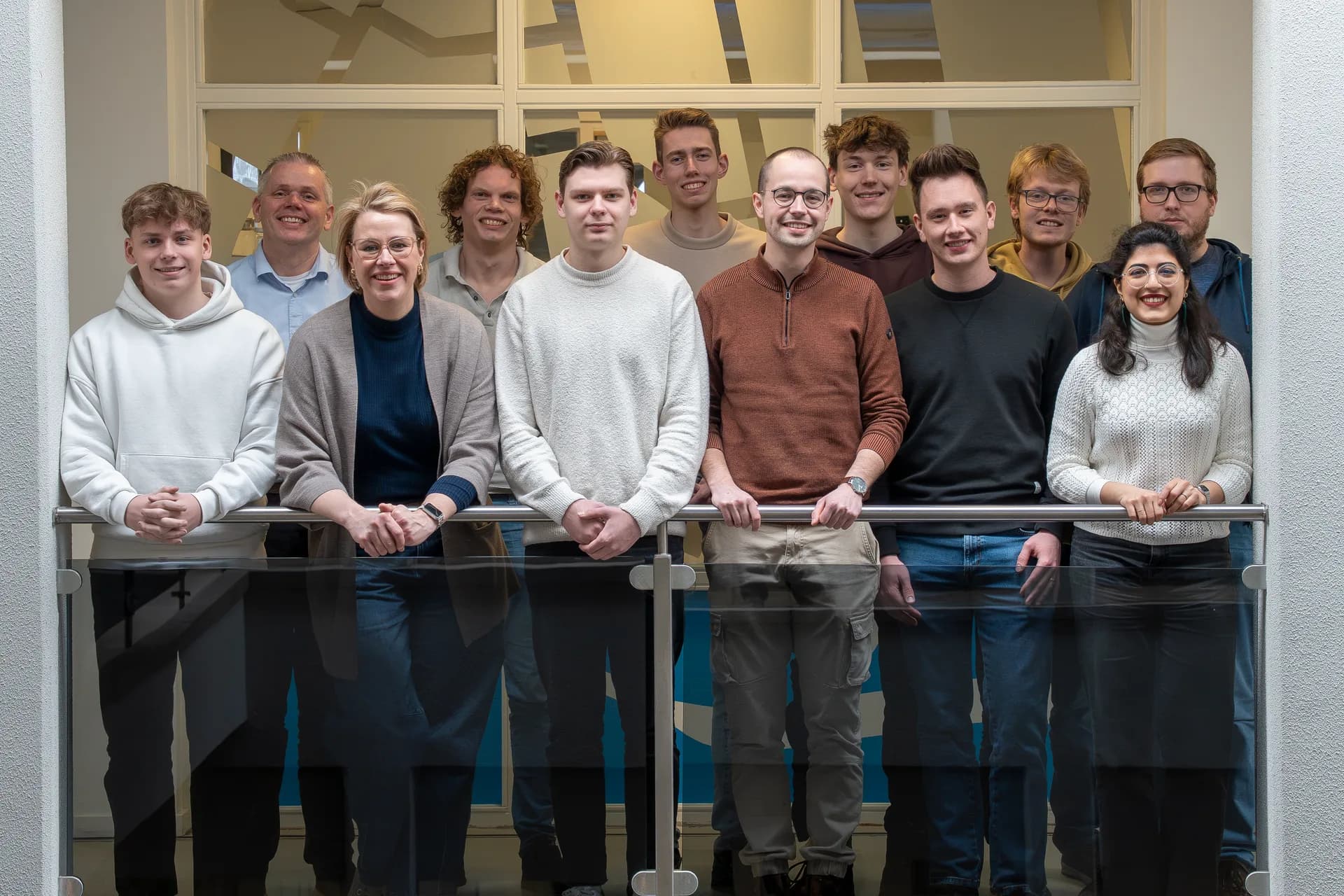
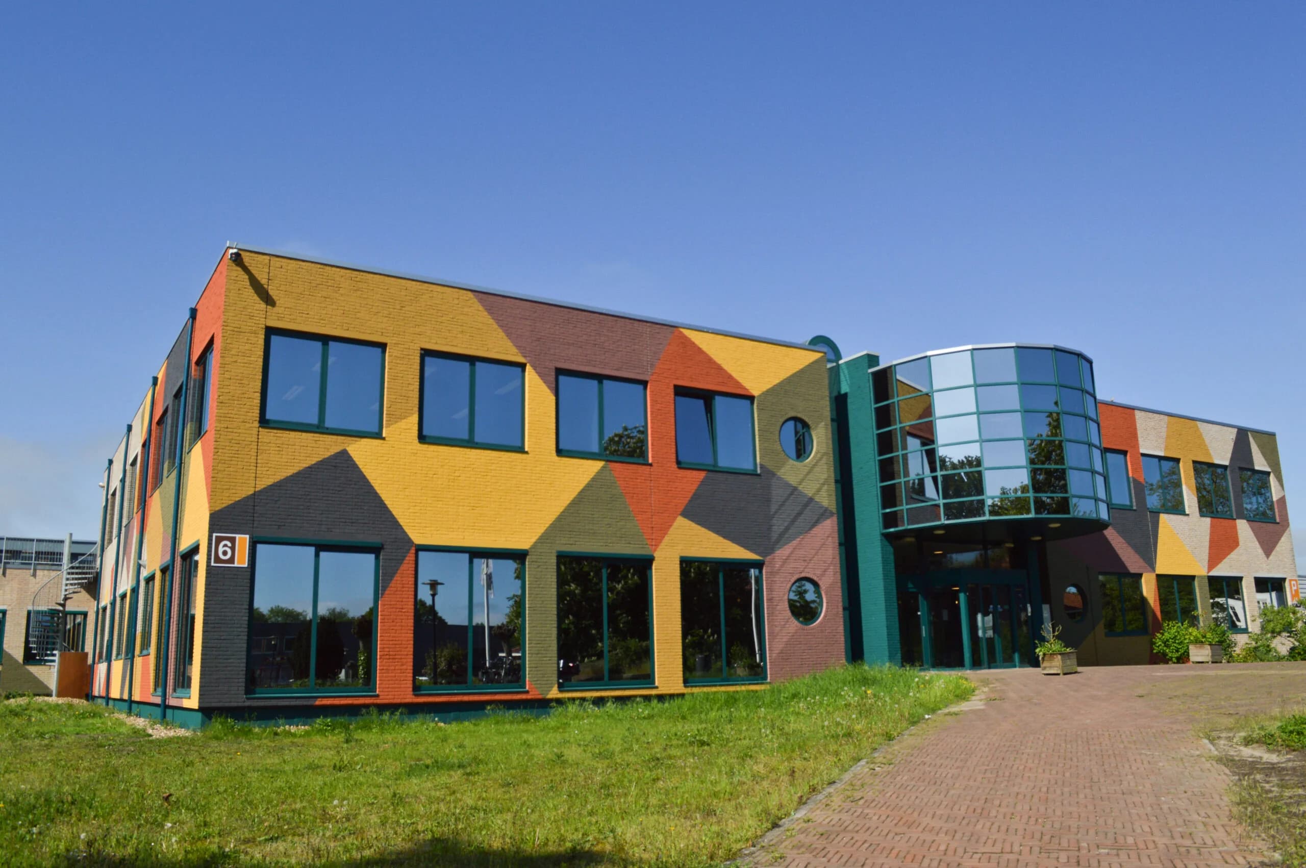
MapGear team office
GeoApps Logo

GeoApps is the leading software platform for GIS applications and spatial data, enabling organizations to make data-driven decisions.

Solutions

  • Urban Planning
  • Infrastructure
  • Real Estate
  • Environment & Climate
  • Energy Transition
  • Safety & Risk
  • GIS solutions

Products

  • GeoApps
  • Solutions
  • ESG-Maps
  • MapServices
  • TouchTable
  • Consultation
  • Platform

Apps

  • Viewer
  • Dashboard
  • Fieldwork
  • MapTour
  • MapTalk
  • Custom
  • QGIS plugin

For whom?

  • Municipalities
  • Provinces
  • Environmental Services
  • Engineering
  • Contractors
  • Safety Regions
  • Water authorities

Platform

  • Integrations
  • Documentation
  • GIS Lexicon
  • System Status
  • Changelog
  • Support
  • Subscriptions

Company

  • About Us
  • Careers
  • Contact
  • Partners
  • News & Blog
  • Events
  • Case studies

Stay up-to-date

Subscribe to our newsletter to get the latest updates on our products and services. You can unsubscribe at any time.

Keep an eye on our socials too

Stay connected with us through our social media channels and get the latest updates on our products and services.

Quality & trust

MapGear is ISO 9001 and ISO 27001 certified and meets the highest quality and security standards for our products and services.

ISO 9001 Certificering
ISO 27001 Certificering
QGIS Membership 2026
© 2026 MapGear B.V. All rights reserved.
Terms & conditionsPrivacy PolicySustainability statement