ExploreJobsAbout usContact
Log in
MapGear Logo
JobsNewsAbout MapGear
Log inContact
MapGear, known through GeoAppsGeoApps

Cookie settings

We use cookies to improve your experience on our website. You can choose which types of cookies you accept. Learn more

GeoApps Logo
Apps
Solutions
Platform
About us
Get advice
GeoApps Logo

GeoApps is the leading software platform for GIS applications and spatial data, enabling organizations to make data-driven decisions.

Solutions

  • Urban Planning
  • Infrastructure
  • Real Estate
  • Environment & Climate
  • Energy Transition
  • Safety & Risk

Products

  • GeoApps
  • Solutions
  • Sustainability Map
  • MapServices
  • TouchTable
  • Consultation

Apps

  • Viewer
  • Dashboard
  • Fieldwork
  • MapTour
  • MapTalk
  • Custom

For whom?

  • Municipalities
  • Provinces
  • Environmental Services
  • Engineering
  • Contractors
  • Safety Regions

Platform

  • Integrations
  • Documentation
  • System Status
  • Changelog
  • Support
  • Subscriptions

Company

  • About Us
  • Careers
  • Contact
  • Partners
  • News & Blog
  • Events

Stay up-to-date

Subscribe to our newsletter to get the latest updates on our products and services. You can unsubscribe at any time.

Keep an eye on our socials too

Stay connected with us through our social media channels and get the latest updates on our products and services.

Quality & trust

MapGear is ISO 9001 and ISO 27001 certified and meets the highest quality and security standards for our products and services.

ISO 9001 Certificering
ISO 27001 Certificering
QGIS Membership 2026
© 2026 MapGear B.V. All rights reserved.
Terms & conditionsPrivacy PolicySustainability statement
Project hero background
Back to Project Overview
Case-study

Organize citizen participation online with a Participation App!

Discover how you can effectively organize citizen participation with a participation app and involve residents in spatial projects.

Published:February 25, 2025
Online citizen participation is becoming increasingly important in the digital age. With a modern participation app, you can involve residents in spatial projects and decision-making in an accessible way. 
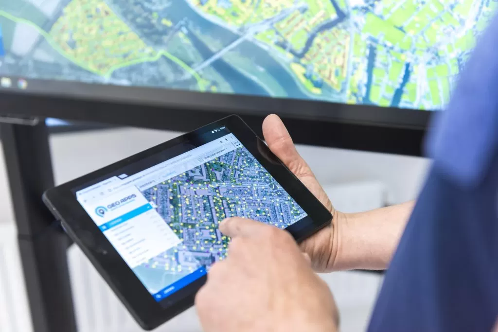
A good participation app offers various functionalities: from interactive maps where residents can share their opinions, to surveys and discussion forums. This makes it possible to collect input in different ways. Using a participation app significantly increases resident engagement. People can respond at any time of day, which is especially important for people who cannot attend physical meetings. MapTalk offers a complete solution for online citizen participation, with advanced mapping functionalities and a user-friendly interface that makes it accessible to everyone.

Does your organization need a similar approach?

Let's discuss your use case.

Book a demoBack to all case studies

Ready to start your own project?

Let's discuss how GeoApps can help bring your vision to life

Get a Demo Contact Us
GeoApps Viewer
Gasfabriek project
MapGear team office
Organize citizen participation online with a Participation App! | Case Study | GeoApps