ExploreJobsAbout usContact
Log in
MapGear Logo
JobsNewsAbout MapGear
Log inContact
MapGear, known through GeoAppsGeoApps

Cookie settings

We use cookies to improve your experience on our website. You can choose which types of cookies you accept. Learn more

GeoApps Logo
Apps
Solutions
Platform
About us
Get advice
GeoApps Logo

GeoApps is the leading software platform for GIS applications and spatial data, enabling organizations to make data-driven decisions.

Solutions

  • Urban Planning
  • Infrastructure
  • Real Estate
  • Environment & Climate
  • Energy Transition
  • Safety & Risk

Products

  • GeoApps
  • Solutions
  • Sustainability Map
  • MapServices
  • TouchTable
  • Consultation

Apps

  • Viewer
  • Dashboard
  • Fieldwork
  • MapTour
  • MapTalk
  • Custom

For whom?

  • Municipalities
  • Provinces
  • Environmental Services
  • Engineering
  • Contractors
  • Safety Regions

Platform

  • Integrations
  • Documentation
  • System Status
  • Changelog
  • Support
  • Subscriptions

Company

  • About Us
  • Careers
  • Contact
  • Partners
  • News & Blog
  • Events

Stay up-to-date

Subscribe to our newsletter to get the latest updates on our products and services. You can unsubscribe at any time.

Keep an eye on our socials too

Stay connected with us through our social media channels and get the latest updates on our products and services.

Quality & trust

MapGear is ISO 9001 and ISO 27001 certified and meets the highest quality and security standards for our products and services.

ISO 9001 Certificering
ISO 27001 Certificering
QGIS Membership 2026
© 2026 MapGear B.V. All rights reserved.
Terms & conditionsPrivacy PolicySustainability statement
Project hero background
Back to Project Overview
Case-study

Omroep Brabant maps dangerous traffic situations with MapTalk

Omroep Brabant uses MapTalk to map dangerous traffic situations in the province using viewer input.

Published:May 14, 2024
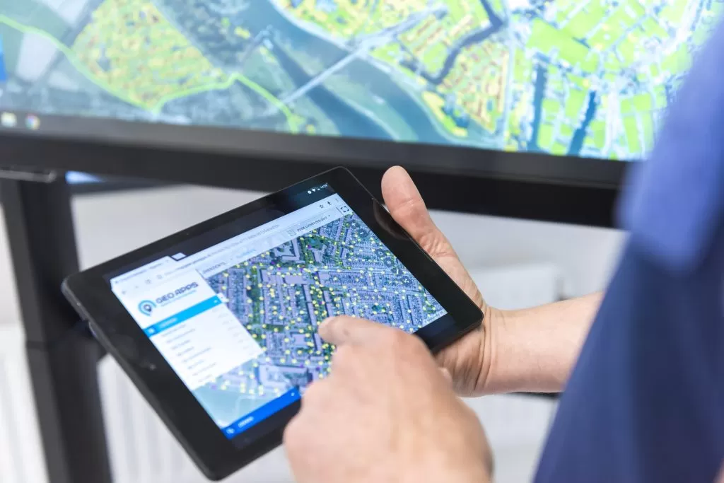
Omroep Brabant has set up an innovative project where viewers are asked to report dangerous traffic situations in their area via MapTalk. The goal is to get a complete picture of traffic-unsafe places in the province. Through the MapTalk platform, viewers can precisely indicate where dangerous situations are, what the problem is and optionally upload photos. This information is then shared with municipalities and other responsible authorities. The project has already yielded hundreds of reports and has led to concrete actions by municipalities to improve traffic safety. It shows how media and participation platforms can work together to address societal problems. By using the map functionality, both viewers and municipalities can quickly see where most problems are and where priority should be given to improvements.

Does your organization need a similar approach?

Let's discuss your use case.

Book a demoBack to all case studies

Ready to start your own project?

Let's discuss how GeoApps can help bring your vision to life

Get a Demo Contact Us
GeoApps Viewer
Gasfabriek project
MapGear team office
Omroep Brabant maps dangerous traffic situations with MapTalk | Case Study | GeoApps