ExploreJobsAbout usContact
Log in
MapGear Logo
JobsNewsAbout MapGear
Log inContact
MapGear, known through GeoAppsGeoApps

Cookie settings

We use cookies to improve your experience on our website. You can choose which types of cookies you accept. Learn more

GeoApps Logo
Apps
Solutions
Platform
About us
Get advice
GeoApps Logo

GeoApps is the leading software platform for GIS applications and spatial data, enabling organizations to make data-driven decisions.

Solutions

  • Urban Planning
  • Infrastructure
  • Real Estate
  • Environment & Climate
  • Energy Transition
  • Safety & Risk

Products

  • GeoApps
  • Solutions
  • Sustainability Map
  • MapServices
  • TouchTable
  • Consultation

Apps

  • Viewer
  • Dashboard
  • Fieldwork
  • MapTour
  • MapTalk
  • Custom

For whom?

  • Municipalities
  • Provinces
  • Environmental Services
  • Engineering
  • Contractors
  • Safety Regions

Platform

  • Integrations
  • Documentation
  • System Status
  • Changelog
  • Support
  • Subscriptions

Company

  • About Us
  • Careers
  • Contact
  • Partners
  • News & Blog
  • Events

Stay up-to-date

Subscribe to our newsletter to get the latest updates on our products and services. You can unsubscribe at any time.

Keep an eye on our socials too

Stay connected with us through our social media channels and get the latest updates on our products and services.

Quality & trust

MapGear is ISO 9001 and ISO 27001 certified and meets the highest quality and security standards for our products and services.

ISO 9001 Certificering
ISO 27001 Certificering
QGIS Membership 2026
© 2026 MapGear B.V. All rights reserved.
Terms & conditionsPrivacy PolicySustainability statement
Get Control of Your Geodata with GeoApps Data Management Features | GeoApps Blog
Get Control of Your Geodata with the New Data Management Features in GeoApps hero background

Get Control of Your Geodata with the New Data Management Features in GeoApps

Managing geodata does not have to be a daily search. With the new Data Management features in GeoApps, you gain immediate structure, clarity, and control over your spatial projects.

GeoApps Team• November 29, 2025Insights

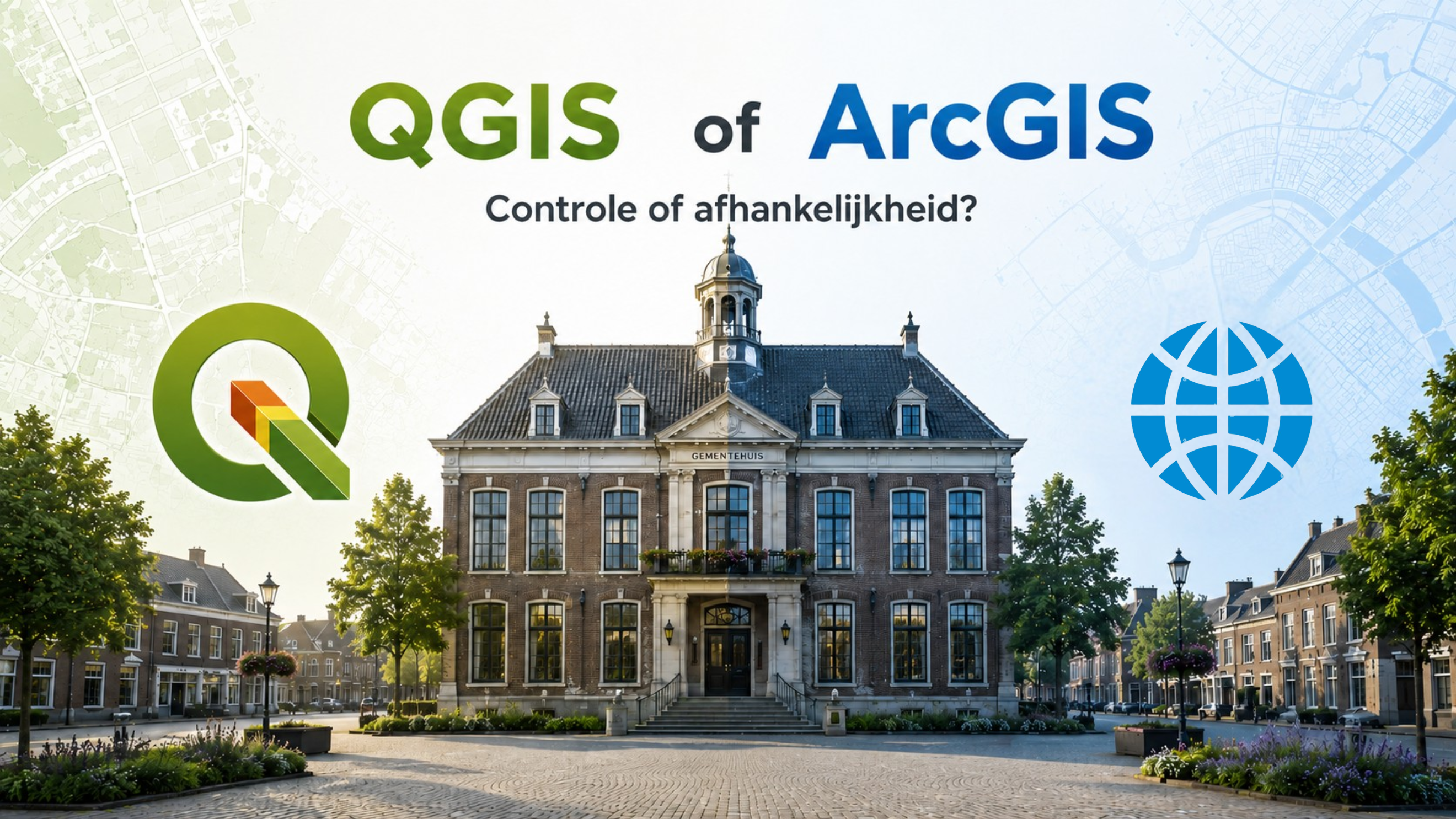
Why managing geodata often takes more time than expected

Many GIS teams recognise the situation. You search for a shapefile you used last week, but it is buried somewhere among hundreds of folders, datasets, and layers.

Hours are spent searching, organising, and updating.
Important files become scattered.
Deadlines come under pressure.

These challenges occur across municipalities, consultancies, safety regions, and environmental agencies. Reliable data management is essential for every organisation working with geodata.

🖼️
Image not available
This image could not be loaded

GeoApps solves this with powerful Data Management features

GeoApps introduces new functionalities that restore structure and visibility to your projects. As a result, you find what you need faster and collaborate more efficiently.

🖼️
Image not available
This image could not be loaded

1. Project-based folders for logical structure

Group datasets, layers, and maps per project. This eliminates the need to dig through generic folders or outdated work files.

2. Smart search across datasets, layers, and projects

Find your files within seconds. The search function scans all relevant sources at once, including project folders and themes.

3. Dashboards and thematic maps for direct insight

Start each project with a clear overview. Display only the datasets, maps, and dashboards relevant to the task.

4. Custom apps tailored to each role

GeoApps adapts to your workflow. Policy advisors, project managers, and fieldworkers only see the tools they need.

Less time searching. More time analysing.

With these new features, you no longer need to endlessly scroll or search through complex folder structures. Your team experiences less frustration and works faster and more accurately.

The best analyses and reports start with solid data management. GeoApps helps you organise this in a professional and scalable way.

Where these improvements deliver real value

Municipalities

• Efficient organisation of spatial projects
• Faster reporting for policy and operational tasks

Environmental agencies and water authorities

• Better collaboration between teams
• Reduced data loss and quicker verification

Consultancies

• Clear data flows for clients
• Higher-quality analyses thanks to updated and accessible data

View All PostsGet a Demo
Back to overview

Related Posts

You might also like

Het einde van de GIS/GEO-architectuurplaat?

Het einde van de GIS/GEO-architectuurplaat?

We krijgen de vraag steeds vaker: hoe ziet de architectuurplaat er nu uit als we GeoApps in gaan zetten? Het antwoord blijkt verrassend..

May 14, 2026Read more
QGIS vs ArcGIS: wat past bij uw organisatie?

QGIS vs ArcGIS: wat past bij uw organisatie?

Veel organisaties vergelijken QGIS en ArcGIS op functionaliteit en kosten. Maar de echte keuze gaat ook over controle, flexibiliteit en afhankelijkheid. Ontdek waar u op moet letten.

May 11, 2026Read more
GeoApps wint GIS-aanbesteding in Veldhoven

GeoApps wint GIS-aanbesteding in Veldhoven

GeoApps wint de aanbesteding in Veldhoven voor de vernieuwing van hun GIS- en geo-informatievoorziening. Wat zegt dit over waar gemeenten vandaag tegenaan lopen?

April 28, 2026Read more

Ready to Get Started?

Join thousands of users who are already using GeoApps to transform their spatial data workflows.

Get a Demo
GeoApps Viewer
Gasfabriek project
MapGear team office
Last Updated: April 29, 2026