Skip to main contentSkip to navigation
ExploreJobsAbout usContact
Log in
MapGear Logo
JobsNewsAbout MapGear
Log inContact
MapGear, known through GeoAppsGeoApps
GeoApps Logo
Apps
Solutions
Platform
About us
Get advice
  1. Home
  2. /Apps
  3. /SamenwerkApp
SamenwerkApp

Collaboration on environment and space

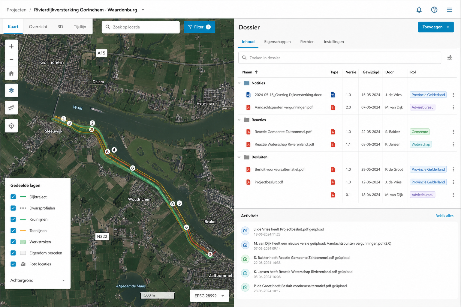
Advisors, government, and participation on one map for long-running programmes. One file for advisors, government, and participation: a shared map, roles per party, linked to Viewer, Takenkaart, and MapTalk. SamenwerkApp is part of the GeoApps platform. Add fieldwork, tasks on the map, dashboards, or participation where needed, without copying data or splitting maps.
Get a Demo
SamenwerkApp

Built for multi-stakeholder programmes

Advisors, government, and participation on one map: how organisations use SamenwerkApp within the GeoApps platform.
  • Gemeente Dalfsen
  • Keypoint
  • Gemeente Rotterdam
  • Provincie Overijssel
  • Arcadis
  • Gemeente Ede
  • Regio Foodvalley
  • Provincie Gelderland
  • Gemeente Maasgouw
  • Stantec
  • Gemeente Maastricht
  • Provincie Utrecht
  • Procap
  • Gemeente Haarlemmermeer
  • Arup
  • Gemeente Gennep
  • Mapification
  • Gemeente Utrecht
  • Kragten
  • Gemeente Enschede
  • Provincie Noord-Holland
  • PraatMee
  • Gemeente Hengelo
  • Tauw
  • Gemeente Apeldoorn
  • Provincie Flevoland
  • Gemeente Dalfsen
  • Keypoint
  • Gemeente Rotterdam
  • Provincie Overijssel
  • Arcadis
  • Gemeente Ede
  • Regio Foodvalley
  • Provincie Gelderland
  • Gemeente Maasgouw
  • Stantec
  • Gemeente Maastricht
  • Provincie Utrecht
  • Procap
  • Gemeente Haarlemmermeer
  • Arup
  • Gemeente Gennep
  • Mapification
  • Gemeente Utrecht
  • Kragten
  • Gemeente Enschede
  • Provincie Noord-Holland
  • PraatMee
  • Gemeente Hengelo
  • Tauw
  • Gemeente Apeldoorn
  • Provincie Flevoland
  • Roelofs
  • Gemeente Epe
  • Gemeente Wierden
  • Provincie Groningen
  • Roelofs Lemelerveld
  • Gemeente Zundert
  • Dekker Groep
  • Gemeente Groningen
  • Provincie Drenthe
  • Thius
  • Gemeente Deventer
  • Tijdlab
  • Gemeente Dordrecht
  • Mateboer
  • Gemeente Rijswijk
  • Aveco de Bondt
  • Gemeente Leiden
  • Riese & Geurts
  • Gemeente Sittard-Geleen
  • OMWB
  • Westerkwartier
  • TTE
  • KWR
  • Lycens
  • Nordend
  • Royal HaskoningDHV
  • Roelofs
  • Gemeente Epe
  • Gemeente Wierden
  • Provincie Groningen
  • Roelofs Lemelerveld
  • Gemeente Zundert
  • Dekker Groep
  • Gemeente Groningen
  • Provincie Drenthe
  • Thius
  • Gemeente Deventer
  • Tijdlab
  • Gemeente Dordrecht
  • Mateboer
  • Gemeente Rijswijk
  • Aveco de Bondt
  • Gemeente Leiden
  • Riese & Geurts
  • Gemeente Sittard-Geleen
  • OMWB
  • Westerkwartier
  • TTE
  • KWR
  • Lycens
  • Nordend
  • Royal HaskoningDHV

Why SamenwerkApp

Dossier, map, and communication in one environmental and spatial programme.
B2G advisory and government

Share a clear picture with municipality or province. Fewer attachments, fewer ‘which version’ debates.

Participation and transparency

Residents or stakeholders can look or comment where that fits. Formal talks stay separate from open participation.

Dossiers and plans on the map

Documents, map layers, and agreements live in one file. No versions in mail or on shared drives.

Roles and access per party

Decide who can view, comment, or edit. Internal teams and external partners work in the same place, with different rights.

Works with Viewer and Takenkaart

Viewer for the map, Takenkaart for actions, MapTalk for dialogue. SamenwerkApp is the umbrella, not a replacement.

Built for long programmes

Keep overview when programmes run for months or years: the same map, the same file, changing parties.

How it works

One file, one map, the right parties.

1

Open the file

Bring map, papers, and parties into one SamenwerkApp. Roles decide who can do what.

2

Talk on the map

Use the shared map as the source. Mark issues and keep agreements with the location.

3

Link action and dialogue

Put follow-up in Takenkaart or open a MapTalk track. Status stays visible in the file.

Where SamenwerkApp fits

Consultancy and engineering with several authorities

Consultancy and engineering with several authorities

Keep control of input, responses, and documents when provinces, municipalities, water boards, and advisors share one dossier.
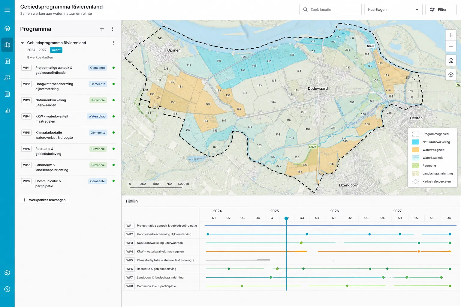
Environmental and spatial programmes

Environmental and spatial programmes

When multiple parties collaborate for months or years on policy, studies, and delivery, and everything must remain traceable on the map.
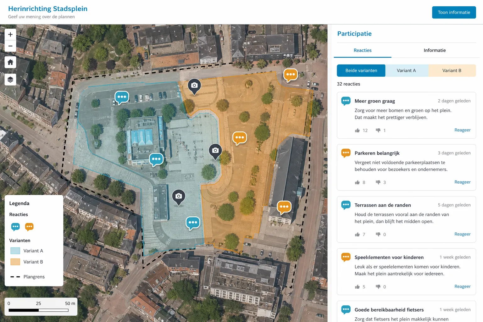
Participation in spatial planning

Participation in spatial planning

Combine formal and informal participation with one shared picture: what is where, which options exist, and what it means for the area.

Customer Stories

What our customers say

Discover why organizations trust GeoApps for their spatial challenges.
Gemeente Deventer

Gemeente Deventer

"By using PraatMee, we have received more responses from citizens. Especially from the younger target group, the input was remarkably high. It is a very pleasant medium, especially in these times."

Judith Meekes

Project Manager
Provincie Gelderland

Provincie Gelderland

"PraatMee was our collection point for responses during online info evenings; all input proved very valuable."

Jan van de Wouw

Environmental Manager
Stantec

Stantec

"Documents are always up-to-date thanks to the integration with SharePoint. And the sales team decides for themselves who gets access and which documents are visible."

Jacco Wanders

GIS Advisor
Omgevingsdienst Brabant-Noord

Omgevingsdienst Brabant-Noord

"With GeoApps we can unlock and analyze our data in a user-friendly way. The flexibility of the platform enables us to quickly respond to the needs of our organization."

Mark ten Vregelaar

Data Scientist (GEO specialization)

300+
Happy customers
4.7/5
Average rating
12+
Years of experience

Discuss SamenwerkApp

We are happy to help with your programme, roles, and links to existing GeoApps components.
Contact
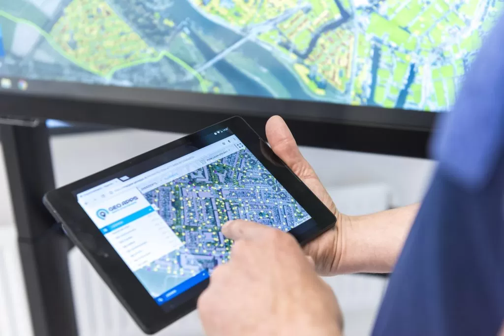
GeoApps Viewer
Gasfabriek project
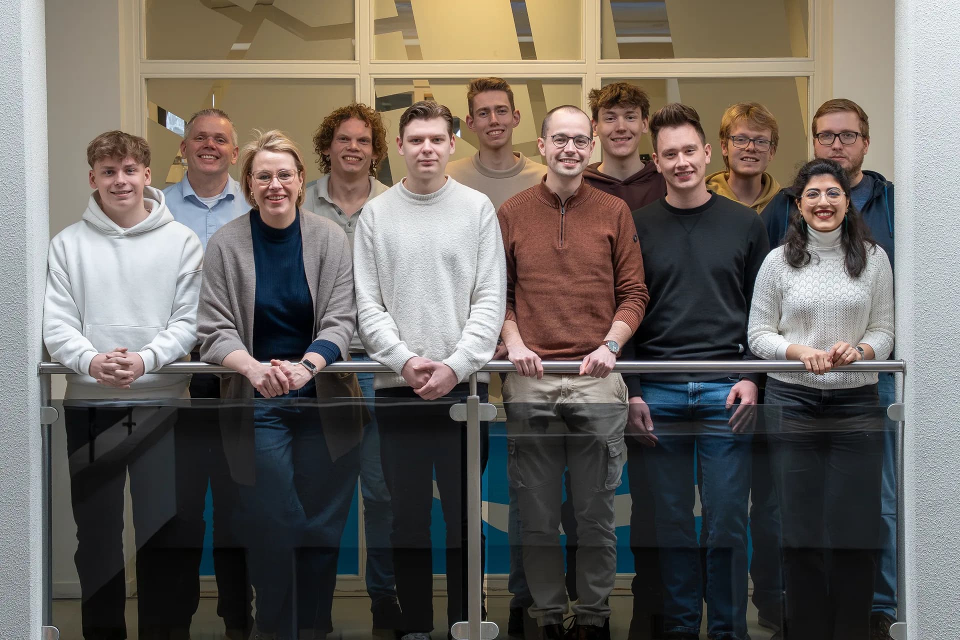
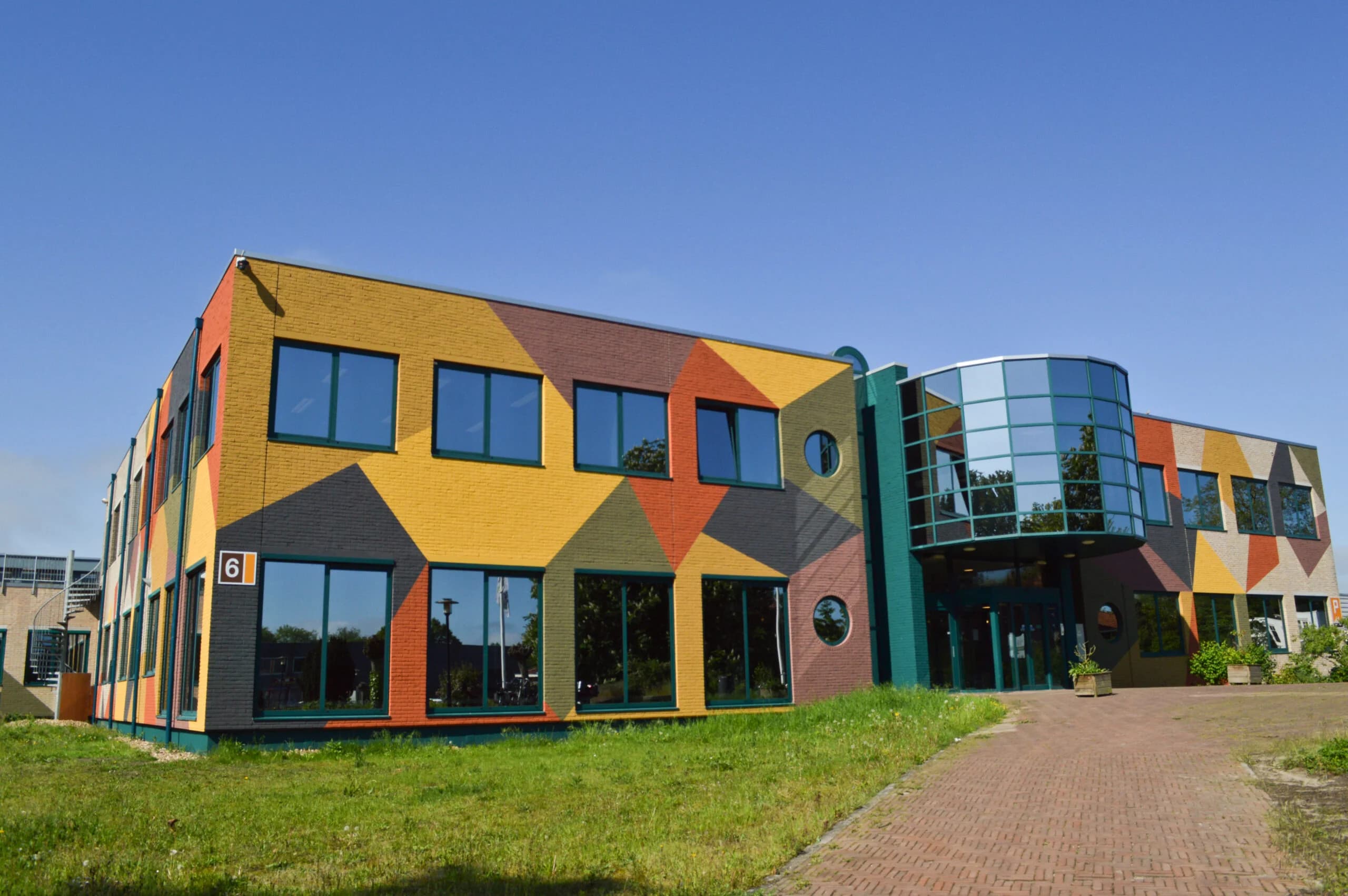
MapGear team office

Frequently asked questions about SamenwerkApp

Answers about scope, roles, and how it connects to other GeoApps apps.

Who is SamenwerkApp for?
For programmes where **engineering firms, advisors, authorities, and residents** work together for months or years on environment, space, and participation, with dossier and map as a shared foundation.
How is SamenwerkApp different from a Viewer alone?
A **Viewer** mainly shows maps and layers. SamenwerkApp targets **long-running programmes**: documents, roles, communication, and map in one place, suited to B2G and participation.
Can I connect participation (e.g. PraatMee)?
Yes. SamenwerkApp sits in the **GeoApps platform**; you can use participation and other apps such as Viewer or Takenkaart alongside it with the same map and data landscape.
How do I start with a demo or pilot?
Use **Request a demo** to get in touch. We help with your programme, roles, and links to existing GeoApps components.
GeoApps Logo

GeoApps is the leading software platform for GIS applications and spatial data, enabling organizations to make data-driven decisions.

Solutions

  • Urban Planning
  • Infrastructure
  • Real Estate
  • Environment & Climate
  • Energy Transition
  • Safety & Risk
  • GIS & cartography

Products

  • GeoApps
  • Solutions
  • ESG-Maps
  • MapServices
  • TouchTable
  • Consultation
  • Platform

Apps

  • Viewer
  • Dashboard
  • Fieldwork
  • MapTour
  • MapTalk
  • Custom
  • QGIS plugin

For whom?

  • Municipalities
  • Provinces
  • Environmental Services
  • Engineering
  • Contractors
  • Safety Regions
  • Water authorities

Platform

  • Integrations
  • Documentation
  • GIS Lexicon
  • System Status
  • Changelog
  • Support
  • Subscriptions

Company

  • About Us
  • Careers
  • Contact
  • Partners
  • News & Blog
  • Events
  • Case studies

Stay up-to-date

Subscribe to our newsletter to get the latest updates on our products and services. You can unsubscribe at any time.

Keep an eye on our socials too

Stay connected with us through our social media channels and get the latest updates on our products and services.

Quality & trust

MapGear is ISO 9001 and ISO 27001 certified and meets the highest quality and security standards for our products and services.

ISO 9001 Certificering
ISO 27001 Certificering
QGIS Membership 2026
© 2026 MapGear B.V. All rights reserved.
Terms & conditionsPrivacy PolicySustainability statement