Skip to main contentSkip to navigation
ExploreAbout usContactJobs
Log in
MapGear Logo
NewsAbout MapGearJobs
Log inContact
MapGear, known through GeoAppsGeoApps
GeoApps Logo
Apps
Solutions
Platform
About us
Subscriptions
Get advice

Yourinfrastructuremapped

The online GIS platform

Map viewers and spatial data for the whole organisation

Maps, dashboards, fieldwork and participation for decision-makers, citizens and teams, not only the GIS department. Insight, registration, public consultation, analysis and reporting on the map, without wrapping everything around one vendor.

Get a Demo

Trusted by 300+ organizations

Trusted by leading organizations

From municipalities to multinationals: more than 10,000 users across 300+ organizations use daily applications from MapGear and partners, built on the GeoApps platform.

  • Natuurmonumenten
  • Deloitte
  • Woonbedrijf
  • Regio Stedendriehoek
  • Westerkwartier
  • Waternet
  • Provincie Gelderland
  • Kragten
  • Q-Estate
  • Gemeente Zundert
  • Stantec
  • Duurzaamheidskaart
  • Gemeente Apeldoorn
  • Syntraal
  • Omgevingswarmtekaart
  • Roelofs Lemelerveld
  • Nouryon
  • Dekker Groep
  • Mapification
  • Gemeente Ede
  • Stadscampus De Kien
  • Thius
  • Regio Foodvalley
  • Gemeente Gennep
  • ProRail
  • Van Dun Advies
  • Rabobank
  • Gemeente Maasgouw
  • Gemeente Sittard-Geleen
  • Gemeente Dordrecht
  • Keypoint
  • Stedin
  • Qwello
  • Tauw
  • MapServices
  • TTE
  • Arup
  • Transitiemakers
  • Gemeente Zeist
  • Mateboer
  • Assetmaps
  • Gemeente Haarlemmermeer
  • Collectie Overijssel
  • RVO
  • Natuurmonumenten
  • Deloitte
  • Woonbedrijf
  • Regio Stedendriehoek
  • Westerkwartier
  • Waternet
  • Provincie Gelderland
  • Kragten
  • Q-Estate
  • Gemeente Zundert
  • Stantec
  • Duurzaamheidskaart
  • Gemeente Apeldoorn
  • Syntraal
  • Omgevingswarmtekaart
  • Roelofs Lemelerveld
  • Nouryon
  • Dekker Groep
  • Mapification
  • Gemeente Ede
  • Stadscampus De Kien
  • Thius
  • Regio Foodvalley
  • Gemeente Gennep
  • ProRail
  • Van Dun Advies
  • Rabobank
  • Gemeente Maasgouw
  • Gemeente Sittard-Geleen
  • Gemeente Dordrecht
  • Keypoint
  • Stedin
  • Qwello
  • Tauw
  • MapServices
  • TTE
  • Arup
  • Transitiemakers
  • Gemeente Zeist
  • Mateboer
  • Assetmaps
  • Gemeente Haarlemmermeer
  • Collectie Overijssel
  • RVO
  • Gemeente Rotterdam
  • Lycens
  • Wegenscanners
  • Gemeente Veldhoven
  • Ecogroen
  • Roelofs
  • Aventus
  • KWR
  • Gemeente Voorst
  • Provincie Noord-Holland
  • Gemeente Utrecht
  • Gemeente Deventer
  • FactoGeo
  • Procap
  • Riese & Geurts
  • Gemeente Hengelo
  • Gemeente Wierden
  • CCS Energie-advies
  • Saxion
  • Provincie Drenthe
  • Zone College
  • Arcadis
  • Provincie Overijssel
  • Gemeente Epe
  • Omgevingsdienst Brabant-Noord
  • Provincie Flevoland
  • Omroep Brabant
  • OMWB
  • Tijdlab
  • Natuur en Milieufederaties
  • Royal HaskoningDHV
  • Gemeente Maastricht
  • Nordend
  • Provincie Utrecht
  • Gemeente Groningen
  • Provincie Groningen
  • Satellic
  • PraatMee
  • Aveco de Bondt
  • Gemeente Rijswijk
  • Enexis
  • Gemeente Leiden
  • Gemeente Enschede
  • Gemeente Rotterdam
  • Lycens
  • Wegenscanners
  • Gemeente Veldhoven
  • Ecogroen
  • Roelofs
  • Aventus
  • KWR
  • Gemeente Voorst
  • Provincie Noord-Holland
  • Gemeente Utrecht
  • Gemeente Deventer
  • FactoGeo
  • Procap
  • Riese & Geurts
  • Gemeente Hengelo
  • Gemeente Wierden
  • CCS Energie-advies
  • Saxion
  • Provincie Drenthe
  • Zone College
  • Arcadis
  • Provincie Overijssel
  • Gemeente Epe
  • Omgevingsdienst Brabant-Noord
  • Provincie Flevoland
  • Omroep Brabant
  • OMWB
  • Tijdlab
  • Natuur en Milieufederaties
  • Royal HaskoningDHV
  • Gemeente Maastricht
  • Nordend
  • Provincie Utrecht
  • Gemeente Groningen
  • Provincie Groningen
  • Satellic
  • PraatMee
  • Aveco de Bondt
  • Gemeente Rijswijk
  • Enexis
  • Gemeente Leiden
  • Gemeente Enschede
View all appsMore about us

The modern GIS architecture

A modern way of working with GIS

Put maps online for the whole organisation, while QGIS, ArcGIS Pro and your own data, open data and external sources stay right where they are.

Your GIS architecture stays modular, desktop, data and Web GIS reinforce each other.

Compare with ArcGIS

Web GIS · GeoApps

Maps, dashboards, fieldwork and organization-wide access

Desktop GIS

QGIS or ArcGIS Pro for specialist data processing and analysis

Databases & services

PostgreSQL, APIs and OGC / ArcGIS services from and into GeoApps

Viewer

Viewer

Interactive map viewer for spatial data

More information
Dashboard

Dashboard

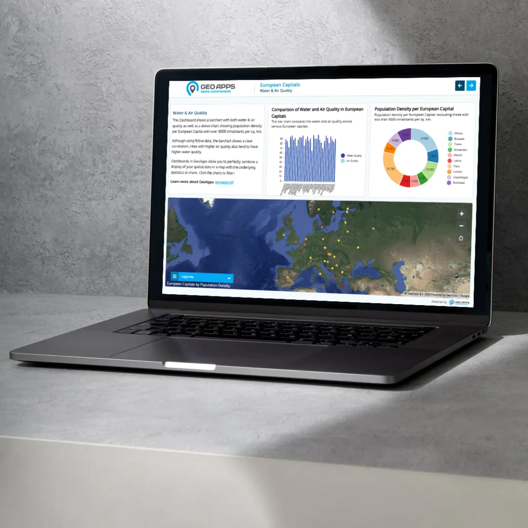
Data visualization and analytics dashboard

More information
Fieldwork

Fieldwork

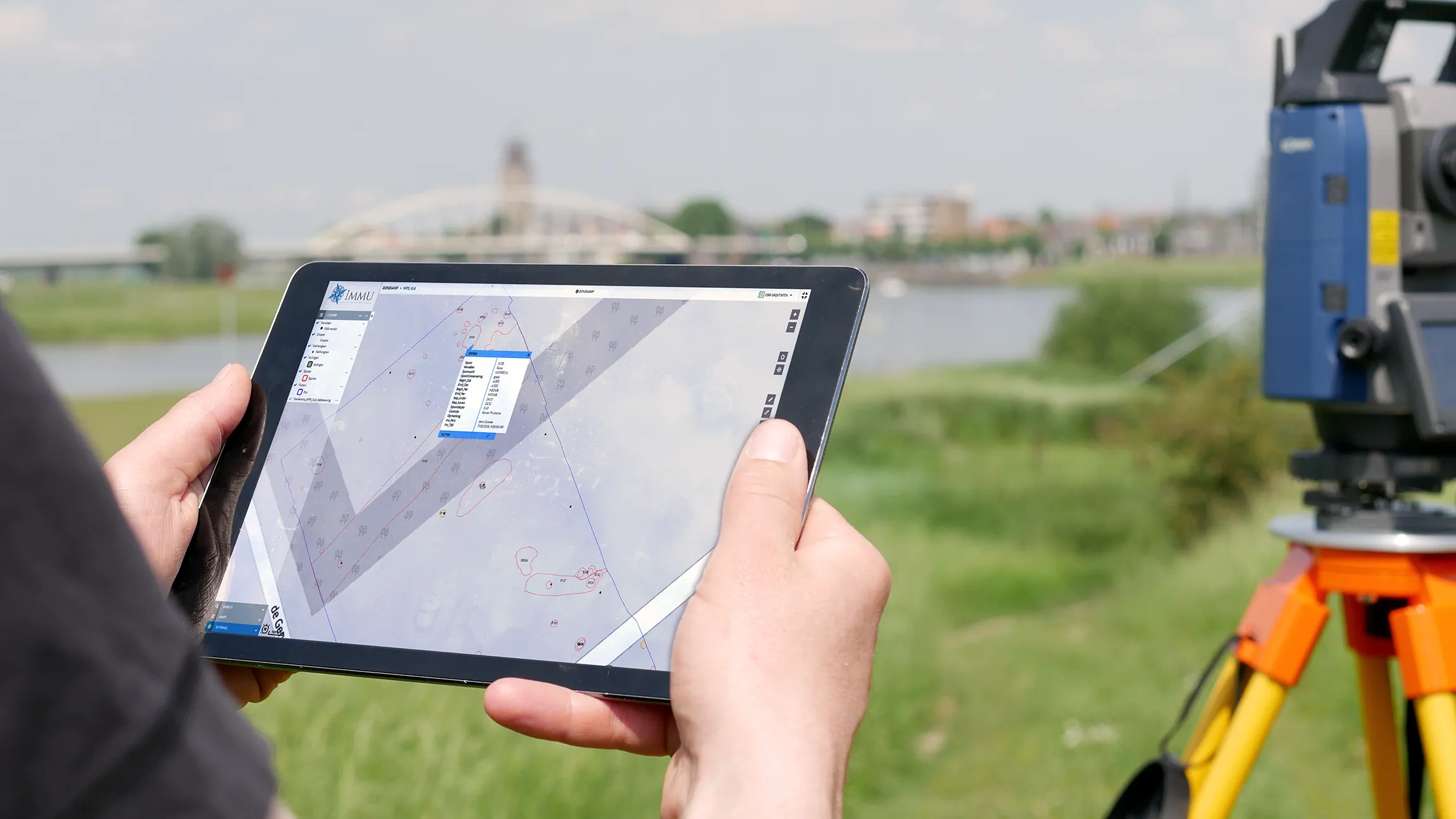
Mobile app for field data collection

More information
MapTour

MapTour

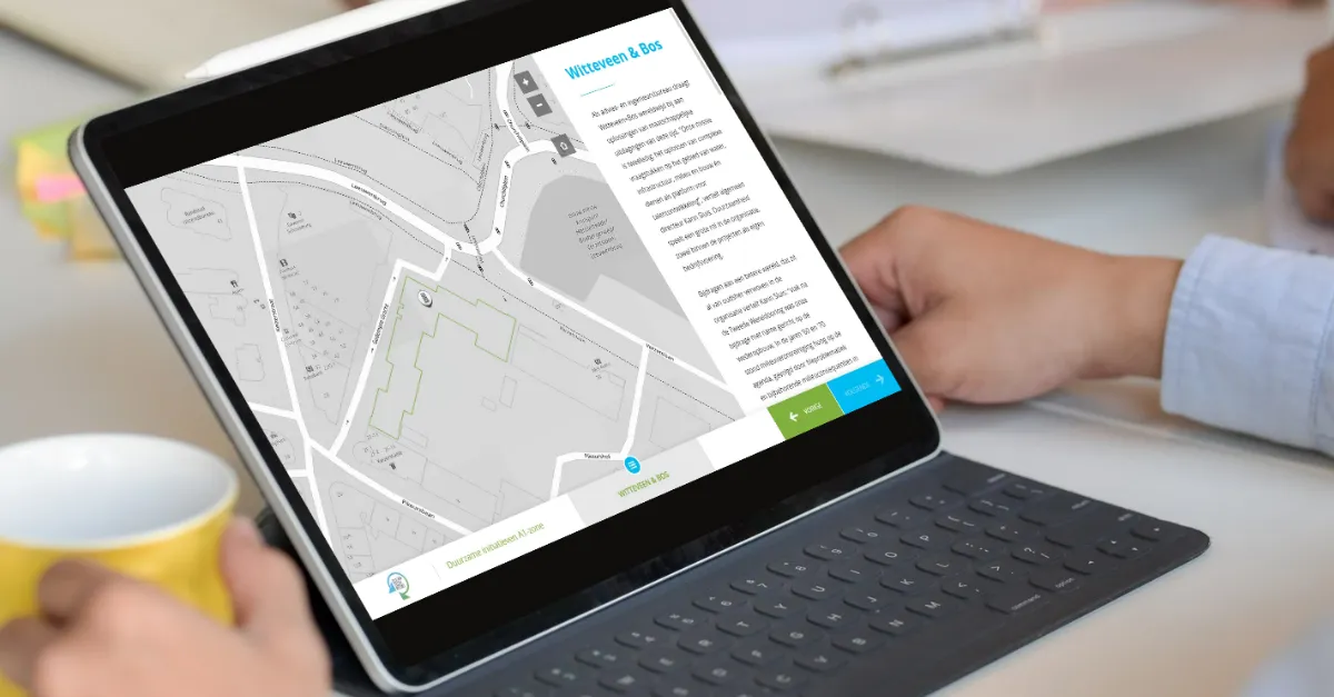
Interactive map tours and storytelling

More information
MapTalk

MapTalk

Public participation platform

More information
Custom Apps

Custom Apps

Custom GIS solutions for your needs

More information
View all appsExplore solutions

Ready to start your first project?

Join 300+ organizations already using GeoApps for their spatial challenges.

Get a Demo Contact Us
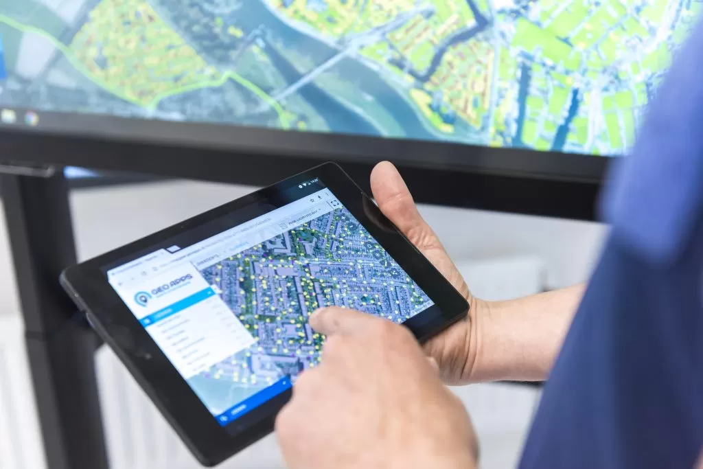
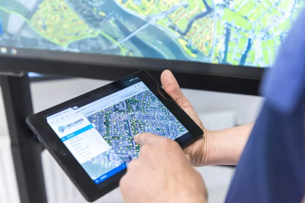
GeoApps Viewer
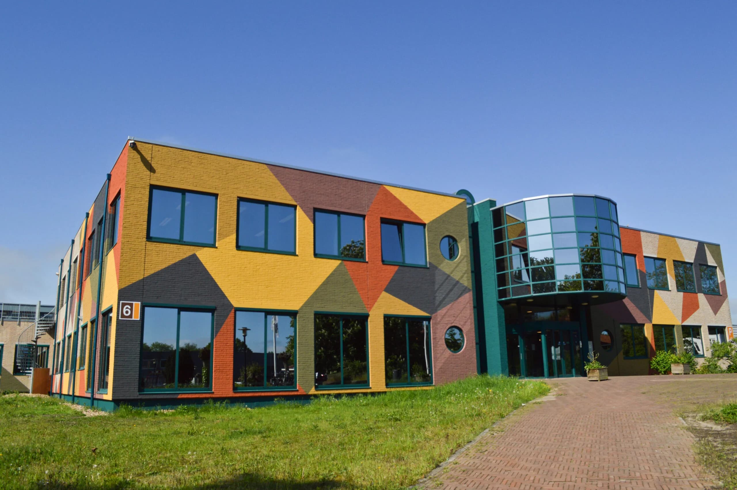
Gasfabriek project
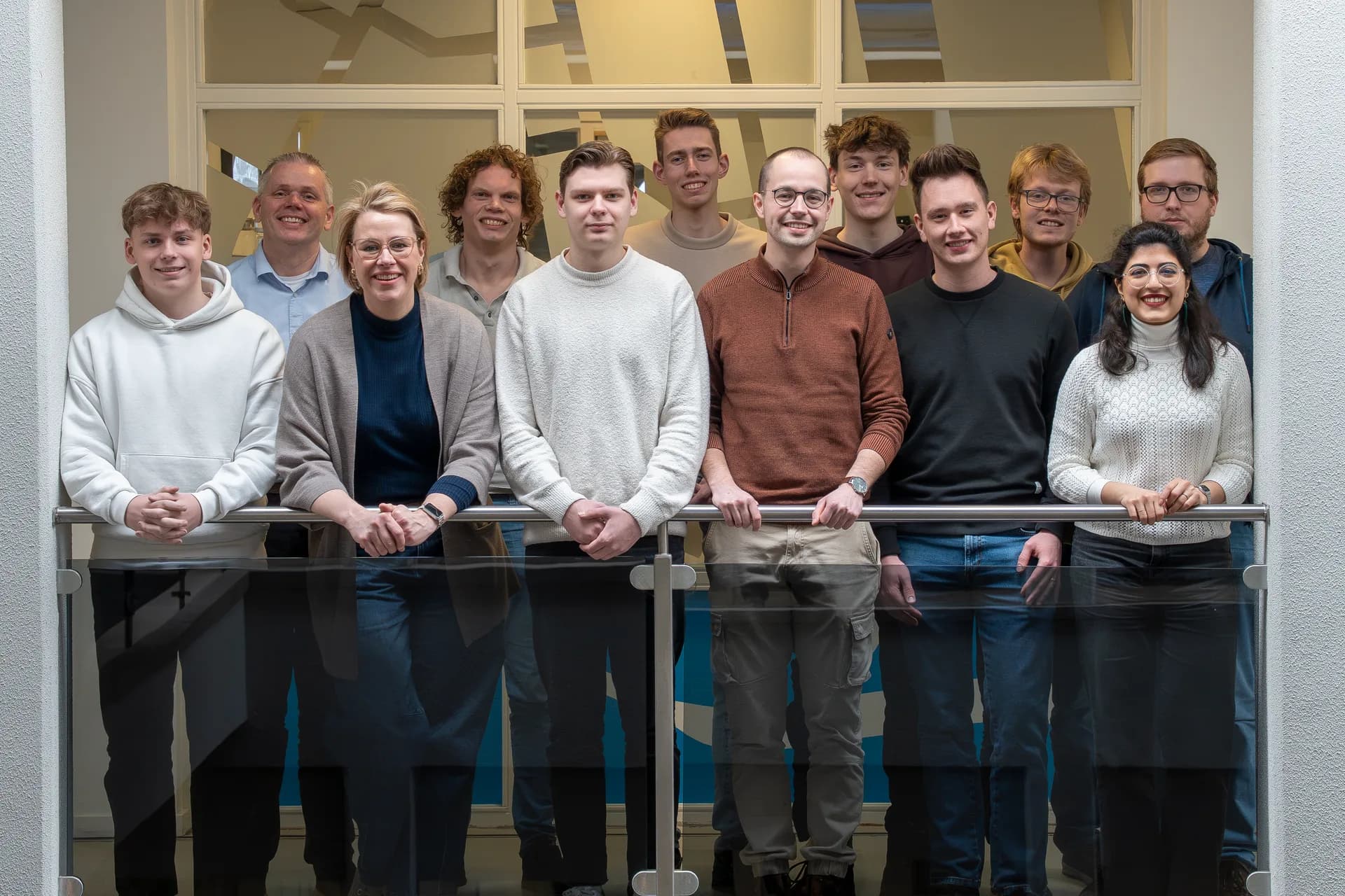
MapGear team office
Explore the platform

Frequently Asked Questions

Short answers to the most common questions about GeoApps.

What is GeoApps?
GeoApps is a powerful, flexible platform for building, managing, and deploying map-driven applications that transform how organizations work with spatial data. Our core products include Dashboard for real-time data visualization and analytics, Viewer for interactive map exploration and sharing, Fieldwork for mobile data collection in the field, MapTalk for guided storytelling with maps, and TouchTable for collaborative touchscreen experiences. Unlike traditional GIS software, GeoApps focuses on user experience and accessibility, making complex spatial data understandable and actionable for everyone from field workers to executives. Organizations use GeoApps to streamline workflows, improve decision-making, and create engaging experiences for stakeholders and citizens.
Is GeoApps a SaaS?
Yes. GeoApps is MapGear’s web GIS: hosted maps, dashboards, fieldwork and participation as a subscription, with optional implementation and support. It is not desktop GIS and not a lead-generation service. Specialists can keep working in QGIS or ArcGIS Pro; GeoApps publishes the same data to the rest of the organisation. MapGear also offers MapTalk, MapServices, TouchTable and ESG Maps in the same product family.
Is GeoApps a European alternative to ArcGIS Online?
Yes. GeoApps is MapGear’s Web GIS from the Netherlands: publish maps, dashboards and fieldwork for the whole organization. Desktop GIS such as QGIS or ArcGIS Pro, and existing databases and services, stay alongside it. Organizations use GeoApps as a European alternative to ArcGIS Online, or next to ArcGIS Pro. Architecture, open standards and a comparison are in the knowledge base under European alternative to ArcGIS.
Does GeoApps work with QGIS and open standards?
Yes. Specialists keep analysing in QGIS; Viewer and the rest of GeoApps publish the same data to teams and external users. A QGIS plugin moves work between desktop and web. GeoApps supports open specifications such as WMS, WMTS and WFS. It is not an OGC product or member. Your data, services and desktop tools stay yours.
How can I request a demo?
Requesting a demo is straightforward and personalized to your needs. Visit our demo page and fill out the contact form with details about your organization, current challenges, and goals. We'll respond within one business day to schedule a call and understand your specific requirements. During the demo, we'll show relevant use cases, demonstrate integrations with your existing systems, and discuss implementation approaches. For organizations with complex needs, we can arrange extended sessions, pilot programs, or on-site demonstrations. The process is obligation-free, and many organizations use it to evaluate multiple solutions before making decisions.
What do you need from us to get started?
We mainly need clarity on what you want to achieve. Request advice and we start with an intake: define the goal and schedule conversations. We then help with GIS consulting, datasets from MapServices and Duurzaamheidskaart, and training and adoption.
How quickly can we get started?
A GIS Viewer is typically live within a few weeks when the use case and data sources are clear. If data or consulting work is needed, or a broader setup with integrations, access and training, that typically takes two to eight weeks. Support continues after go-live.
What if GeoApps isn't the right fit?
You decide that, not us. A demo or short pilot is there to show whether Viewer, Fieldwork or MapTalk actually helps your teams. We work with organisations that already have GIS data or a clear map question: municipalities, provinces, utilities and engineering firms. If it isn't a match, we say so. There is no obligation after the first conversation.
GeoApps Logo

GeoApps is the leading software platform for GIS applications and spatial data, enabling organizations to make data-driven decisions.

Solutions

  • Urban Planning
  • Infrastructure
  • Real Estate
  • Environment & Climate
  • Energy Transition
  • Safety & Risk
  • GIS solutions

Products

  • GeoApps
  • Solutions
  • ESG-Maps
  • MapServices
  • TouchTable
  • Consultation
  • Platform

Apps

  • Viewer
  • Dashboard
  • Fieldwork
  • MapTour
  • MapTalk
  • Custom
  • QGIS plugin

For whom?

  • Municipalities
  • Provinces
  • Environmental Services
  • Engineering
  • Contractors
  • Safety Regions
  • Water authorities

Platform

  • Integrations
  • Documentation
  • GIS Lexicon
  • System Status
  • Changelog
  • Support
  • Subscriptions

Company

  • About Us
  • Careers
  • Contact
  • Partners
  • News & Blog
  • Events
  • Case studies

Stay up-to-date

Subscribe to our newsletter to get the latest updates on our products and services. You can unsubscribe at any time.

Keep an eye on our socials too

Stay connected with us through our social media channels and get the latest updates on our products and services.

Quality & trust

MapGear is ISO 9001 and ISO 27001 certified and meets the highest quality and security standards for our products and services.

ISO 9001 Certificering
ISO 27001 Certificering
QGIS Membership 2026
© 2026 MapGear B.V. All rights reserved.
Terms & conditionsPrivacy PolicySustainability statement