Powerful GIS applications. Open standards. European support.
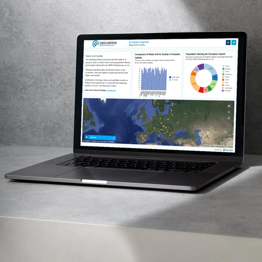
GeoApps is the European alternative to ArcGIS for modern Web GIS. Create maps, dashboards, fieldwork apps and spatial workflows in one platform, connect existing data and GIS infrastructure, work alongside QGIS, and make geographic information accessible across the organization, without building your stack around a single proprietary ecosystem.
Trusted by 300+ organizations for spatial challenges across government, infrastructure, engineering and the built environment.
GeoApps
Your GIS stack should give you options
ArcGIS is an established and powerful ecosystem. But not every organization needs the cost, licensing structure and ecosystem dependency that can come with deploying it across an entire organization.
GeoApps is designed for organizations looking for a different approach to Web GIS:
01
Open standards, including OGC
Connect existing data sources via WMS, WMTS and WFS. GeoApps supports those open OGC specifications; it is not an OGC product or member. GeoServer and other open GIS components stay connectable too.
02
Built to work with QGIS
Use QGIS for advanced desktop analysis and GeoApps to publish data, maps and applications to colleagues, stakeholders and external users. GeoApps provides a QGIS plugin for moving data between desktop and web workflows.
03
Less dependence on a single ecosystem
Your data, services and desktop tools stay yours. Swap components, grow, or change the stack without having to replace the entire GIS landscape.
04
European support, directly from the team building the platform
GeoApps is developed by MapGear in the Netherlands. Technical support comes directly from its GIS specialists and developers rather than an outsourced support layer.
The modern GIS architecture
A modern way of working with GIS
Put maps online for the whole organisation, while QGIS, ArcGIS Pro and your own data, open data and external sources stay right where they are.
Your GIS architecture stays modular, desktop, data and Web GIS reinforce each other.
Web GIS · GeoApps
Maps, dashboards, fieldwork and organization-wide access
Desktop GIS
QGIS or ArcGIS Pro for specialist data processing and analysis
Databases & services
PostgreSQL, APIs and OGC / ArcGIS services from and into GeoApps
Proven in complex public-sector and engineering environments
Organizations across government and engineering use GeoApps for Web GIS, from district atlases to custom applications built on open standards.
Municipality
Wijkatlas: spatial information for one of Europe's largest cities
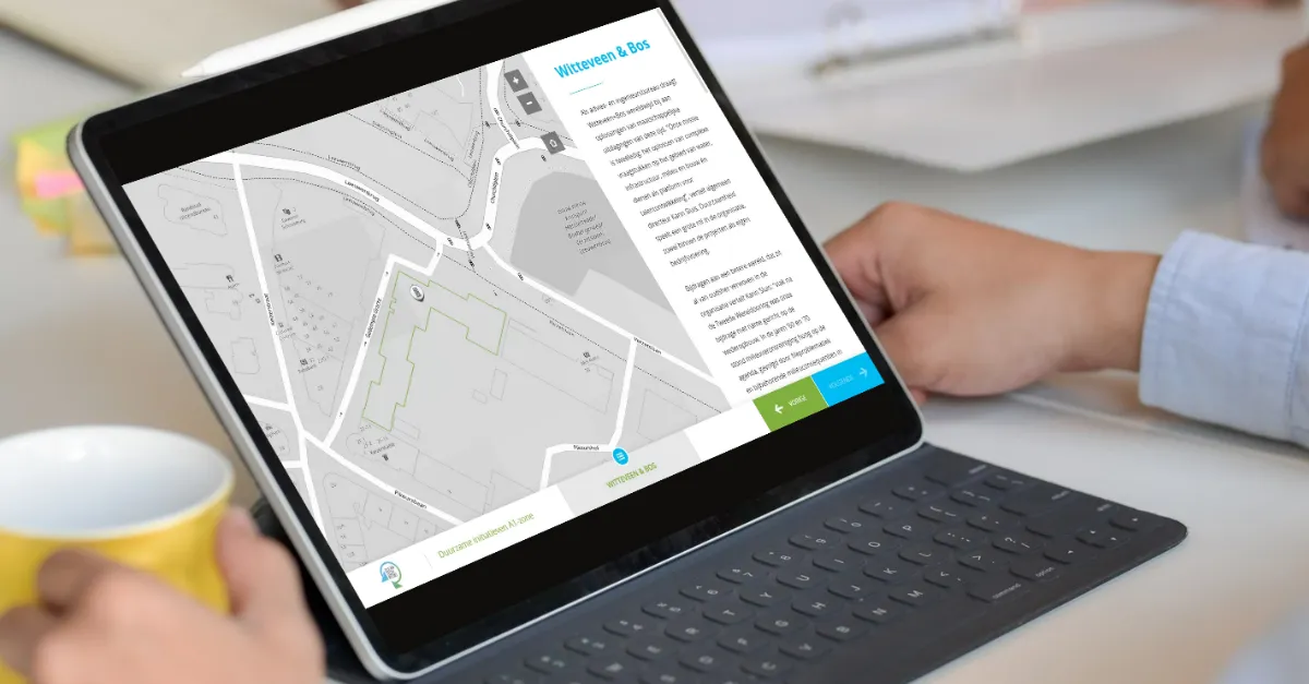
Rotterdam selected GeoApps in an RFP with 100+ requirements, instead of continuing with Esri. Wijkatlas now brings district data and maps together across the organization.
“Thanks to GeoApps, we have all data and maps per district in one place. We can immediately visualize and share our urban challenges, making decision-making with colleagues and partners much faster and more transparent.”
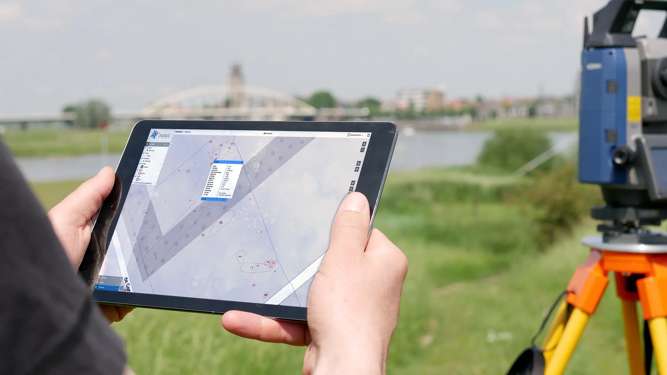
Stantec built apps such as the GIM portal and Bodemadviseur on GeoApps, with full control over development and rapid adoption by their own teams.
“We wanted control over further development ourselves. With the modular GeoApps building blocks, we built two applications in-house, precisely tailored to users, and our devs picked up the new stack lightning fast.”
Your GIS environment increasingly has to satisfy more than a feature checklist. It needs to fit your architecture, security requirements, procurement environment and long-term technology strategy.
European vendor
Developed and supported from the Netherlands.
ISO 9001 & ISO 27001
Enterprise-grade quality and information-security processes.
Open GIS ecosystem
Designed to work alongside QGIS, GeoServer and standard geospatial services.
Direct specialist support
A direct line to the people who develop and implement the platform.
GeoApps vs. ArcGIS
GeoApps can serve as an alternative to Esri for organizations like those above, and as a complement to ArcGIS Pro for teams that keep specialist desktop workflows. GeoApps is strongest where organizations want flexible, cost-effective Web GIS and organization-wide access to spatial information.
Feature
GeoApps
ArcGIS
Modern Web GIS
Interactive maps & dashboards
Field applications
QGIS integration
Open-source friendly architecture
Open standards and existing tools
Own ecosystem, with connectors outward
OGC services
Local European support
Depends on implementation
Advanced desktop GIS
Use QGIS alongside GeoApps
ArcGIS Pro
Pricing model
Subscription per environment
Named users, plus credits for some Online services
Cost predictability
Fixed Web GIS budget
Credits for storage, analysis and premium content can scale with use
License cost profile
Often lower for organization-wide Web GIS
Named users and enterprise agreements add up quickly
Suitable for gradual migration
Run the cost comparison
The license cost profile depends on user count, user types and credits. The ROI calculator below makes that comparison indicative and calculable — including the difference between a subscription per environment and named users.
Choose Your Organization Size
Click on an option to select your organization size
Cost Comparison
ArcGIS
ArcGIS Online
Viewer user types (20 viewers)€2,600
Creator user types (5 editors)€5,425
Professional user types for administrators / GIS administrators (2)€4,000
Total Annual Cost€12,025
Creator includes ArcGIS Pro Basic. Professional includes ArcGIS Pro Standard.
Training & onboardingOptional: 3-day ArcGIS Pro training available via Esri for €2,115 ex. VAT.
Total Annual Cost€339 per month, annual plan€4,068
Optional: QGIS licensesUse open-source desktop GIS, including the GeoApps plugin for synchronising data to your online map environment.
Free
Training & onboardingStandard GeoApps implementation (Not included in calculation). Additional QGIS training available on demand via MapGear or the QGIS community.
€1,495
You Save 66% Annually
That's €7,957 back in your budget every year
These calculations are estimates based on standard pricing. Contact us for a detailed quote.
GeoApps is a product of MapGear B.V., based in the Netherlands. Esri, ArcGIS and ArcGIS Pro are trademarks of Environmental Systems Research Institute, Inc. GeoApps and MapGear are not affiliated with or endorsed by Esri.
Considering an alternative to your current legacy GIS setup?
You do not need to migrate your entire GIS environment to find out whether GeoApps fits. Start by looking at your current architecture, applications, users and ArcGIS dependencies. We can then identify which workflows could move to GeoApps, which specialist tools should remain, and what a practical migration path could look like.
Short answers to the most common questions about GeoApps.
What is GeoApps?
GeoApps is a powerful, flexible platform for building, managing, and deploying map-driven applications that transform how organizations work with spatial data. Our core products include Dashboard for real-time data visualization and analytics, Viewer for interactive map exploration and sharing, Fieldwork for mobile data collection in the field, MapTalk for guided storytelling with maps, and TouchTable for collaborative touchscreen experiences. Unlike traditional GIS software, GeoApps focuses on user experience and accessibility, making complex spatial data understandable and actionable for everyone from field workers to executives. Organizations use GeoApps to streamline workflows, improve decision-making, and create engaging experiences for stakeholders and citizens.
Is GeoApps a SaaS?
Yes. GeoApps is MapGear’s web GIS: hosted maps, dashboards, fieldwork and participation as a subscription, with optional implementation and support. It is not desktop GIS and not a lead-generation service. Specialists can keep working in QGIS or ArcGIS Pro; GeoApps publishes the same data to the rest of the organisation. MapGear also offers MapTalk, MapServices, TouchTable and ESG Maps in the same product family.
Is GeoApps a European alternative to ArcGIS Online?
Yes. GeoApps is MapGear’s Web GIS from the Netherlands: publish maps, dashboards and fieldwork for the whole organization. Desktop GIS such as QGIS or ArcGIS Pro, and existing databases and services, stay alongside it. Organizations use GeoApps as a European alternative to ArcGIS Online, or next to ArcGIS Pro. Architecture, open standards and a comparison are in the knowledge base under European alternative to ArcGIS.
Does GeoApps work with QGIS and open standards?
Yes. Specialists keep analysing in QGIS; Viewer and the rest of GeoApps publish the same data to teams and external users. A QGIS plugin moves work between desktop and web. GeoApps supports open specifications such as WMS, WMTS and WFS. It is not an OGC product or member. Your data, services and desktop tools stay yours.
How can I request a demo?
Requesting a demo is straightforward and personalized to your needs. Visit our demo page and fill out the contact form with details about your organization, current challenges, and goals. We'll respond within one business day to schedule a call and understand your specific requirements. During the demo, we'll show relevant use cases, demonstrate integrations with your existing systems, and discuss implementation approaches. For organizations with complex needs, we can arrange extended sessions, pilot programs, or on-site demonstrations. The process is obligation-free, and many organizations use it to evaluate multiple solutions before making decisions.
What do you need from us to get started?
We mainly need clarity on what you want to achieve. Request advice and we start with an intake: define the goal and schedule conversations. We then help with GIS consulting, datasets from MapServices and ESG Maps, and training and adoption.
How quickly can we get started?
A GIS Viewer is typically live within a few weeks when the use case and data sources are clear. If data or consulting work is needed, or a broader setup with integrations, access and training, that typically takes two to eight weeks. Support continues after go-live.
What if GeoApps isn't the right fit?
You decide that, not us. A demo or short pilot is there to show whether Viewer, Fieldwork or MapTalk actually helps your teams. We work with organisations that already have GIS data or a clear map question: municipalities, provinces, utilities and engineering firms. If it isn't a match, we say so. There is no obligation after the first conversation.