Skip to main contentSkip to navigation
About usContactVacancies
Log in
MapGear Logo
About MapGearJobs
Log inContact
MapGear, known through GeoAppsGeoApps
GeoApps Logo
Apps
Solutions
Platform
About us
Subscriptions
Get a Demo
  1. Home
  2. /Resources
  3. /resourceContent.wat-is-cad.title

resourceContent.wat-is-cad.title

resourceContent.wat-is-cad.description

CAD is where much design data starts in geo practice. Below: what Computer-Aided Design is, how drawings move into GIS, and how CAD layers appear in GeoApps Viewer and apps.

Definition: digital drafting

CAD stands for Computer-Aided Design. It is digital drafting of plans, sections, and technical drawings — often in AutoCAD with DWG/DXF. Lines, polygons, and annotations capture the design before data lands in GIS or BIM.

From drawing to map

Municipalities and firms combine CAD designs with PDOK topography and own registers. Via FME or desktop GIS, drawings are transformed (CRS, topology) and published as layers. Non-specialists then open the same data in a web viewer.

How CAD lands in GeoApps

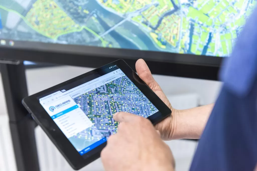
In GeoApps, CAD-derived layers appear in the Viewer next to WMS/WFS, PDOK, and 3D models. Drawings support projects, operations, and participation: the same underlay that started in AutoCAD, for everyone in the browser — without a desktop licence per viewer.

CAD versus BIM

CAD delivers drawings; BIM adds semantics and lifecycle (objects, materials, phases). Both play in GeoApps: CAD layers as 2D context, BIM models in 3D — often in the same Viewer or app stack.

Related in the lexiconMore in the knowledge baseWhat is BIM?What is a GIS viewer?

Drawing layers for the whole organisation

Publish CAD-derived layers next to PDOK and project data. Specialists draft; colleagues and project teams open the map in the browser.

See GeoApps Viewer
Get Started with GeoApps

Ready to start your GIS project?

Contact Us
GeoApps Viewer
Gasfabriek project
MapGear team office
GeoApps Logo

GeoApps is the leading software platform for GIS applications and spatial data, enabling organizations to make data-driven decisions.

Solutions

  • Urban Planning
  • Infrastructure
  • Real Estate
  • Environment & Climate
  • Energy Transition
  • Safety & Risk
  • GIS solutions

Products

  • GeoApps
  • Solutions
  • ESG-Maps
  • MapServices
  • TouchTable
  • Consultation
  • Platform

Apps

  • Viewer
  • Dashboard
  • Fieldwork
  • MapTour
  • MapTalk
  • Custom
  • QGIS plugin

For whom?

  • Municipalities
  • Provinces
  • Environmental Services
  • Engineering
  • Contractors
  • Safety Regions
  • Water authorities

Platform

  • Integrations
  • Documentation
  • GIS Lexicon
  • System Status
  • Changelog
  • Support
  • Subscriptions

Company

  • About Us
  • Careers
  • Contact
  • Partners
  • News & Blog
  • Events
  • Case studies

Stay up-to-date

Subscribe to our newsletter to get the latest updates on our products and services. You can unsubscribe at any time.

Keep an eye on our socials too

Stay connected with us through our social media channels and get the latest updates on our products and services.

Quality & trust

MapGear is ISO 9001 and ISO 27001 certified and meets the highest quality and security standards for our products and services.

ISO 9001 Certificering
ISO 27001 Certificering
QGIS Membership 2026
© 2026 MapGear B.V. All rights reserved.
Terms & conditionsPrivacy PolicySustainability statement