resourceContent.wat-is-bim.description
BIM connects building models with spatial context. Below: what Building Information Modeling is, how it relates to CAD and GIS, and how GeoApps uses BIM in viewers, 3D, and apps.
BIM stands for Building Information Modeling. It is a digital model of a building or infrastructure where geometry and information meet: materials, functions, phasing, and maintenance. Design, construction, and operations share one model instead of loose drawings.
Three worlds that meet:
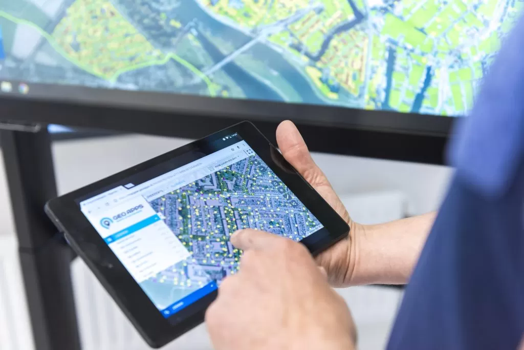
GeoApps integrates with 3D engines that support BIM files. You use IFC and Revit in viewers and apps without every viewer needing separate specialist software. BIM models sit next to PDOK, BGT/BAG and own layers: in the Viewer, in 3D scenes, and in apps for projects and participation.
Municipalities, provinces, water boards, and consulting and engineering firms that want to connect design, operations, and participation. BIM on the map makes conversations about space, impact, and scenarios concrete — online and at the table.
Show IFC and Revit models in the same environment as PDOK and project layers. Specialists stay in their design tools; colleagues and citizens open the browser.
See GeoApps Viewer