
Interactive sessions with TouchTable, GeoApps and MapTalk for understandable options.
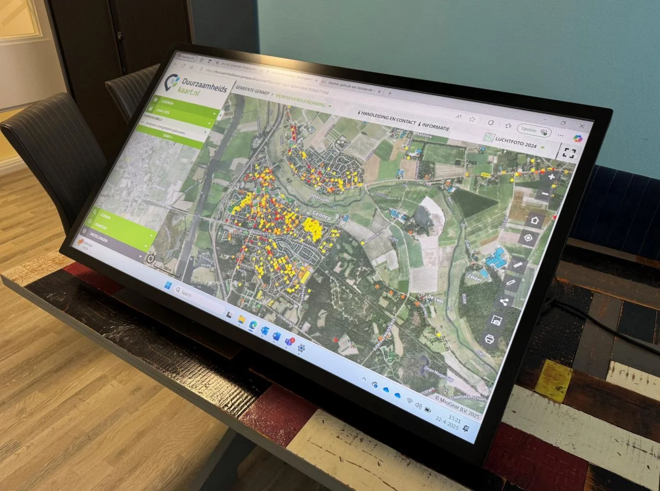
Residents grasp plans faster when scenarios are visualised on maps and in 3D. MapGear connects presentation and online participation.
Let's discuss your use case.
Let's discuss how GeoApps can help bring your vision to life


