
High-detail oblique imagery for BGT, BAG and WOZ implementation with detailed information
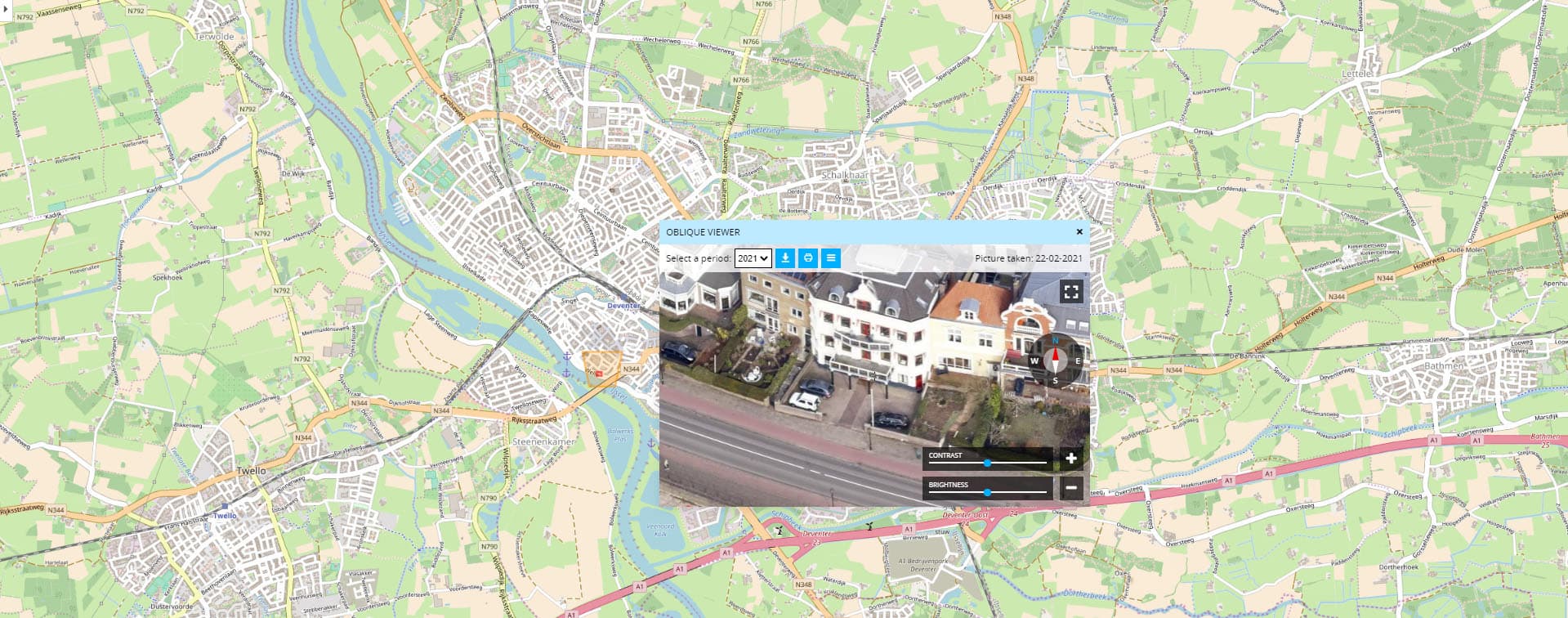
Oblique images are photos taken at an angle of 45 degrees and contain a lot of detailed information. The majority of users primarily use the images for BGT, BAG, and WOZ deployment. Where aerial photography no longer provides information, the Geo-oblique photo continues. The images are displayed in the
How Slagboom & Peeters connects to the GeoApps GIS platform for maps, data and collaboration.
GeoApps viewer, allowing objects to be viewed from 4 wind directions.
High-detail oblique imagery of buildings and terrain
View objects from different angles
Combine oblique imagery with other map data
Contact us to discuss how we can help with your integration needs.
Practical answers about integrating Slagboom & Peeters with GeoApps.

