Skip to main contentSkip to navigation
ExploreJobsAbout usContact
Log in
MapGear Logo
JobsNewsAbout MapGear
Log inContact
MapGear, known through GeoAppsGeoApps
GeoApps Logo
Apps
Solutions
Platform
About us
Get advice
  1. Features
  2. Insight and information

Insight and information

9 features

Compare subscriptions
Insight and information

Features in this category

  • Attribute table

    View and interact with a layer's attribute data, including filtering, sorting, and map zooming.
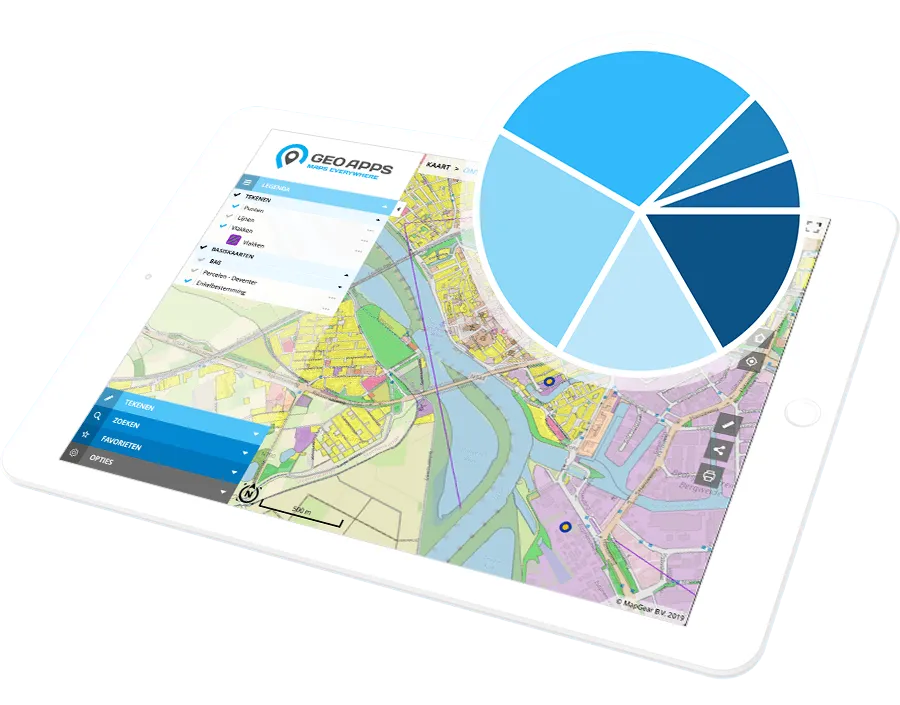
    All
  • Custom data search

    Search your data using tailor-made search inputs.

    All
  • Information overlay

    Add explaining text or imagery in an information window, which can optionally be shown on page load.

    All
  • Standard datacatalog

    Browse a categorized data catalog and add datasets to the map as temporary layers.

    All
  • Organization/custom datacatalog

    Make your own data catalog.

    From Business
  • Favorites

    Save map views, including extent and visible layers, as personal favorites and quickly zoom to them.

    From Business
  • Advanced Favorites

    Share saved map views with selected user groups or everyone within the GeoApps environment, including any associated sketch layers.

    From Enterprise
  • Measurement tools

    Provide interactive measurements on the map, measure lines, areas, circles and heights (in 3D).

    All
  • Dimensions

    Show dimensions of an object in the map using pop-up information tab (Maatvoering).

    All

Need help choosing the right plan?

Our team is ready to help you find the perfect solution for your organization.

Get a Demo Contact
GeoApps Viewer
Gasfabriek project
MapGear team office
GeoApps Logo

GeoApps is the leading software platform for GIS applications and spatial data, enabling organizations to make data-driven decisions.

Solutions

  • Urban Planning
  • Infrastructure
  • Real Estate
  • Environment & Climate
  • Energy Transition
  • Safety & Risk

Products

  • GeoApps
  • Solutions
  • ESG-Maps
  • MapServices
  • TouchTable
  • Consultation

Apps

  • Viewer
  • Dashboard
  • Fieldwork
  • MapTour
  • MapTalk
  • Custom

For whom?

  • Municipalities
  • Provinces
  • Environmental Services
  • Engineering
  • Contractors
  • Safety Regions

Platform

  • Integrations
  • Documentation
  • GIS Lexicon
  • System Status
  • Changelog
  • Support
  • Subscriptions

Company

  • About Us
  • Careers
  • Contact
  • Partners
  • News & Blog
  • Events

Stay up-to-date

Subscribe to our newsletter to get the latest updates on our products and services. You can unsubscribe at any time.

Keep an eye on our socials too

Stay connected with us through our social media channels and get the latest updates on our products and services.

Quality & trust

MapGear is ISO 9001 and ISO 27001 certified and meets the highest quality and security standards for our products and services.

ISO 9001 Certificering
ISO 27001 Certificering
QGIS Membership 2026
© 2026 MapGear B.V. All rights reserved.
Terms & conditionsPrivacy PolicySustainability statement