3D View
AllSwitch seamlessly between 2D and 3D in the viewer.

4 features
2D/3D view, photorealistic and vector data, 3D underground.
2D/3D view, photorealistic and vector data, 3D underground.
The capabilities below belong to this category. Availability varies by plan; compare subscriptions for exact limits and add-ons.
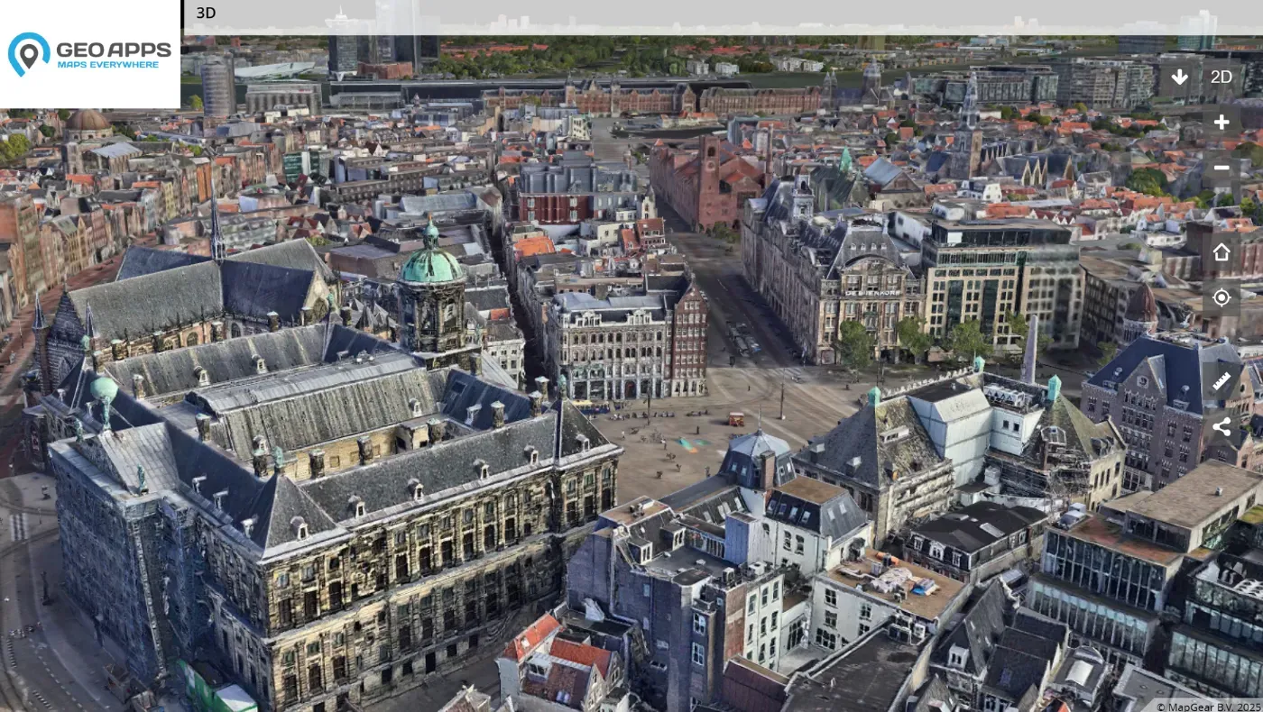
Switch seamlessly between 2D and 3D in the viewer.
Add 3D data as photorealistic tiles.
Add 3D data as vector data (OGC3DTiles, CityJSON).
Add and display 3D underground data like cables and pipelines.
Our team is ready to help you find the perfect solution for your organization.


