How Drenthe keeps its asbestos roof map in real time
Drenthe had a strong asbestos roof map, but manual updates lagged up to two weeks. Built-in sync keeps the public map aligned with the administration.
The Province of Drenthe brought its asbestos roof map in line with reality. What had been validated in the administration became visible to residents immediately.
That sounds obvious. In practice the update process turned out to be the deciding factor.
Starting point: correct processing, delayed visibility
In Drenthe an asbestos remediation was processed carefully in the administration. Registration was correct. Validation was correct. Policy-wise everything was in order.
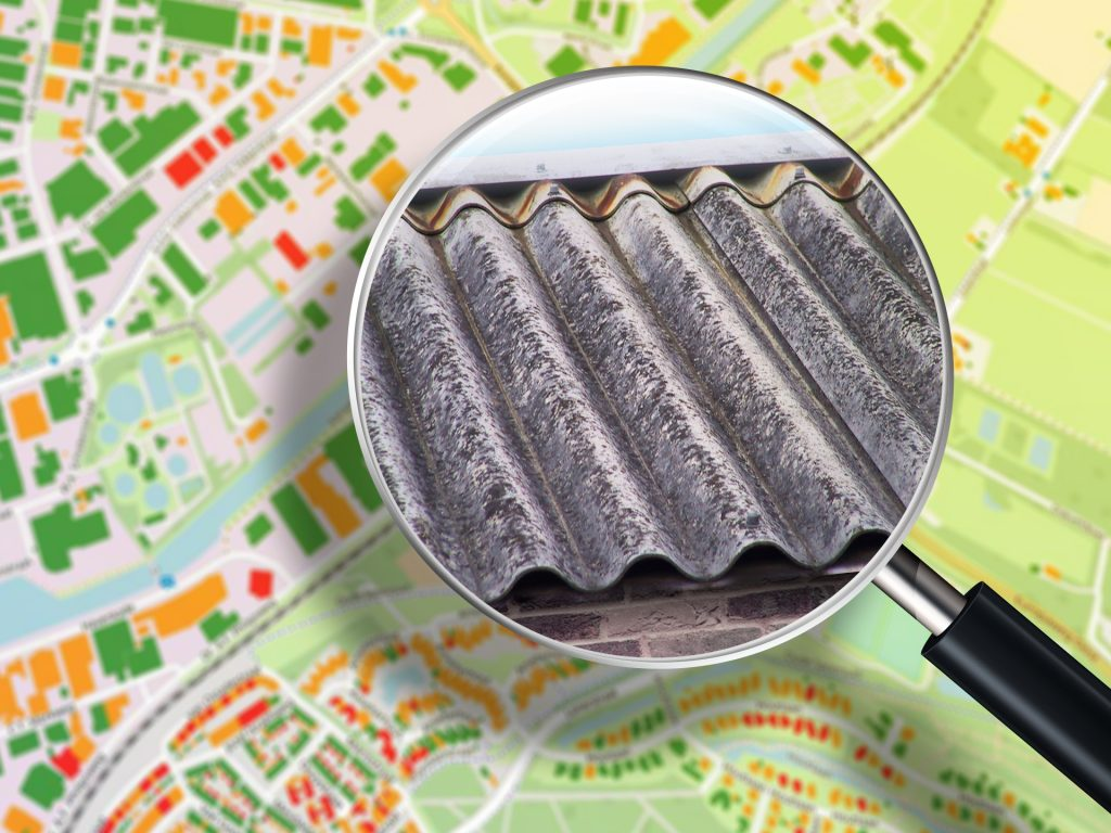
At the same time the public map was refreshed in periodic publication rounds. Data was downloaded by hand, edited and republished. That created a lag of up to two weeks between administrative processing and what residents saw on the map.
For residents that is not a technical nuance. The map is the public confirmation that a remediation is officially recognised. When old information stays visible, it leads to doubt and extra questions.
The real bottleneck: synchronisation
Data quality was not the problem. The underlying database logic worked, and changes were processed accurately internally.
The gap sat between processing and publication. Without automatic sync, every map update remained a snapshot.
As long as updates depend on manual steps, there is a structural time difference between the internal register and the external view. That makes the map fragile even when internal processes are sound.
The choice: build the process in
Drenthe therefore changed the update process fundamentally. Instead of periodic dumps, synchronisation became part of the standing system. Administrative validation and the map view were coupled directly.
The delay between inside and outside disappeared. What was finished administratively became visible automatically on the asbestos roof map.
Impact for residents and the organisation
The effect showed up in day-to-day work.
Residents could see immediately that their remediation had been processed, so questions dropped. Staff spent less time explaining visible differences between the register and the map.
The asbestos roof map became what it should be: a reliable reference — correct in content and current.
What this means for other governments
Many organisations already have correct asbestos-roof data. Updates are still often published in batches.
Drenthe shows that the difference is not new data, but the process between processing and publication.
When synchronisation is built in, the map moves with reality. Delay disappears and trust returns.
Want to know how real-time updates can work for your asbestos roof map?
Contact
Want to know more?
Questions about our products? Looking for a demo or quote? Fill in the form and we will get back to you.
Fill out the form and we will contact you within 24 hours, or book .