Spatial Planning with Data: From Vision to Execution
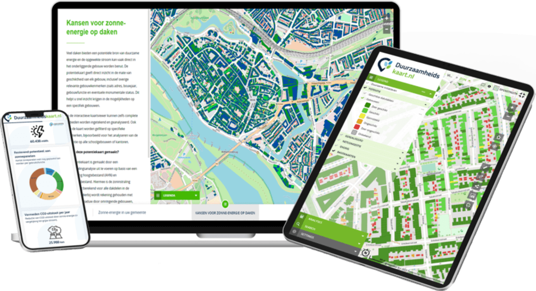
Discover how municipalities and regional authorities use Duurzaamheidskaart to support data-driven spatial planning, compare scenarios, and monitor sustainable area development.
Spatial Planning with ESG Maps
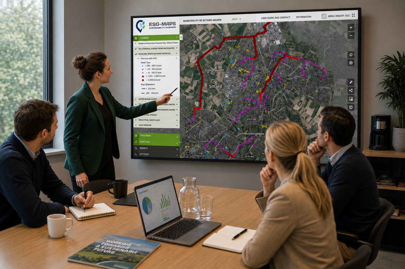
Spatial planning requires balancing many competing interests. Housing, mobility, climate adaptation, energy infrastructure, green spaces and water management all compete for the same limited space. Making informed decisions therefore requires reliable data, clear spatial insight and a shared understanding of how different priorities interact.
ESG Maps helps municipalities, regional authorities and planning organisations bring relevant sustainability and spatial information together in one platform. By connecting data to location, teams can move more effectively from strategic vision to practical implementation.
Building Better Spatial Plans
Effective spatial planning starts with understanding the opportunities and constraints within an area. By combining data related to energy, heat, green infrastructure, water, climate risks and land use, ESG Maps helps organisations create a more complete picture of the environment they are planning for.
This supports important planning activities such as:
identifying opportunities and bottlenecks
comparing development scenarios
integrating sustainability objectives into spatial plans
identifying areas affected by multiple environmental pressures
supporting policy and investment decisions with spatial data
As a result, planners can evaluate different priorities within the same geographic context instead of relying on disconnected datasets or separate reports.
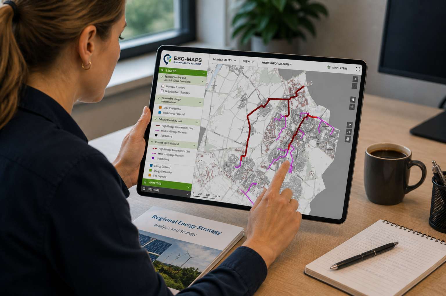
ESG Maps combines spatial and sustainability data in one accessible environment for planners and decision-makers.
From Vision to Implementation
Planning does not end once a strategy is approved. Organisations also need to monitor progress, measure outcomes and adjust priorities as projects and conditions change. ESG Maps supports this transition from planning to implementation by providing current spatial information, maps and dashboards that make developments easier to follow over time.
Organisations can use the platform to:
monitor project progress
measure the impact of interventions
follow sustainability indicators
report on climate and sustainability objectives
compare developments between areas
support evidence-based decision-making
Consequently, long-term ambitions become more closely connected to day-to-day project execution. Instead of treating planning and monitoring as separate activities, organisations can use the same spatial environment throughout the process.
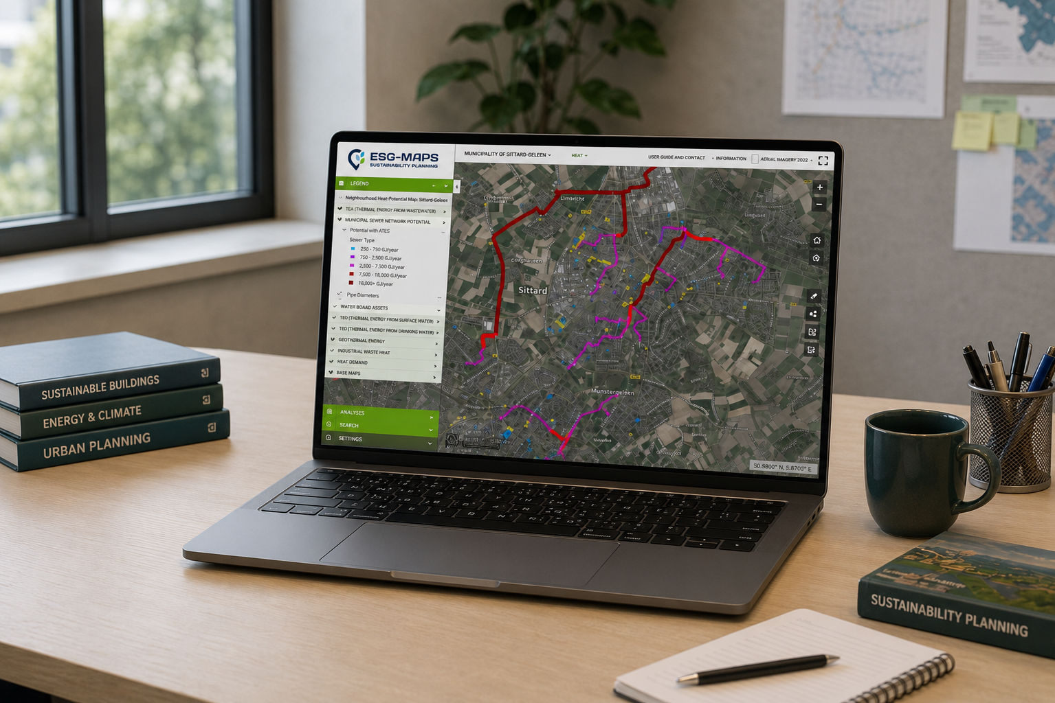
Interactive ESG Maps dashboards help organisations monitor developments, compare areas and evaluate results throughout the planning process.
Better Collaboration Through Shared Spatial Data
Spatial planning involves many stakeholders, including local and regional authorities, utility providers, consultants, project teams and residents. When each group works with separate datasets or assumptions, collaboration becomes more difficult and decisions can take longer to explain.
A shared spatial environment helps ensure that teams work from the same information base. ESG Maps enables organisations to share insights across departments and stakeholders, align spatial plans with sustainability objectives and create a common geographic context for discussions and decisions.
This can help organisations:
improve coordination between teams
communicate complex spatial challenges more clearly
connect sustainability objectives with specific locations
compare priorities and scenarios collaboratively
create a more transparent basis for decision-making
By bringing together data, analysis and visualisation, ESG Maps helps organisations make better spatial decisions and move more confidently from strategic ambition to practical implementation.
Ready to Make Spatial Planning More Data-Driven?