Tasks, skills, education, and employers of GIS specialists – and how they make geo-information available across the organization.
GIS specialists make location data useful for policy, projects, and operations. Who are they, what do they do daily, and which tools do they use? A practical overview for hiring, outsourcing, or working with a GIS team.
A GIS specialist turns spatial questions into reliable geo-information: setting up data sources, quality control, spatial analysis, map products, and making data available to others in the organization.
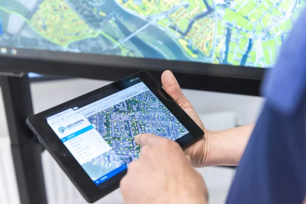
GIS specialists combine geo knowledge with technology: QGIS or ArcGIS Pro, PostGIS, FME, Python – and increasingly web GIS like GeoApps for publishing and collaboration.
In the Netherlands many GIS specialists have degrees in geo-information, geography, planning, or civil engineering, plus courses in QGIS, programming, or data quality. Career changers from IT or data analysis are common when spatial skills are built.
You find them at municipalities, provinces, consultancies, utilities, telecom, and real estate. The role shifts from map maker to hub in digital transformation: data governance, integrations, and self-service for colleagues.
A GIS specialist is not only a cartographer (design), data engineer (pipelines), or GIS developer (code) – though overlap exists. In practice they bridge content, technology, and users.
Many specialists work in QGIS and publish to GeoApps for broad access, participation, and integrations. See our overview for GIS specialists and developers.
Solutions for GIS specialists