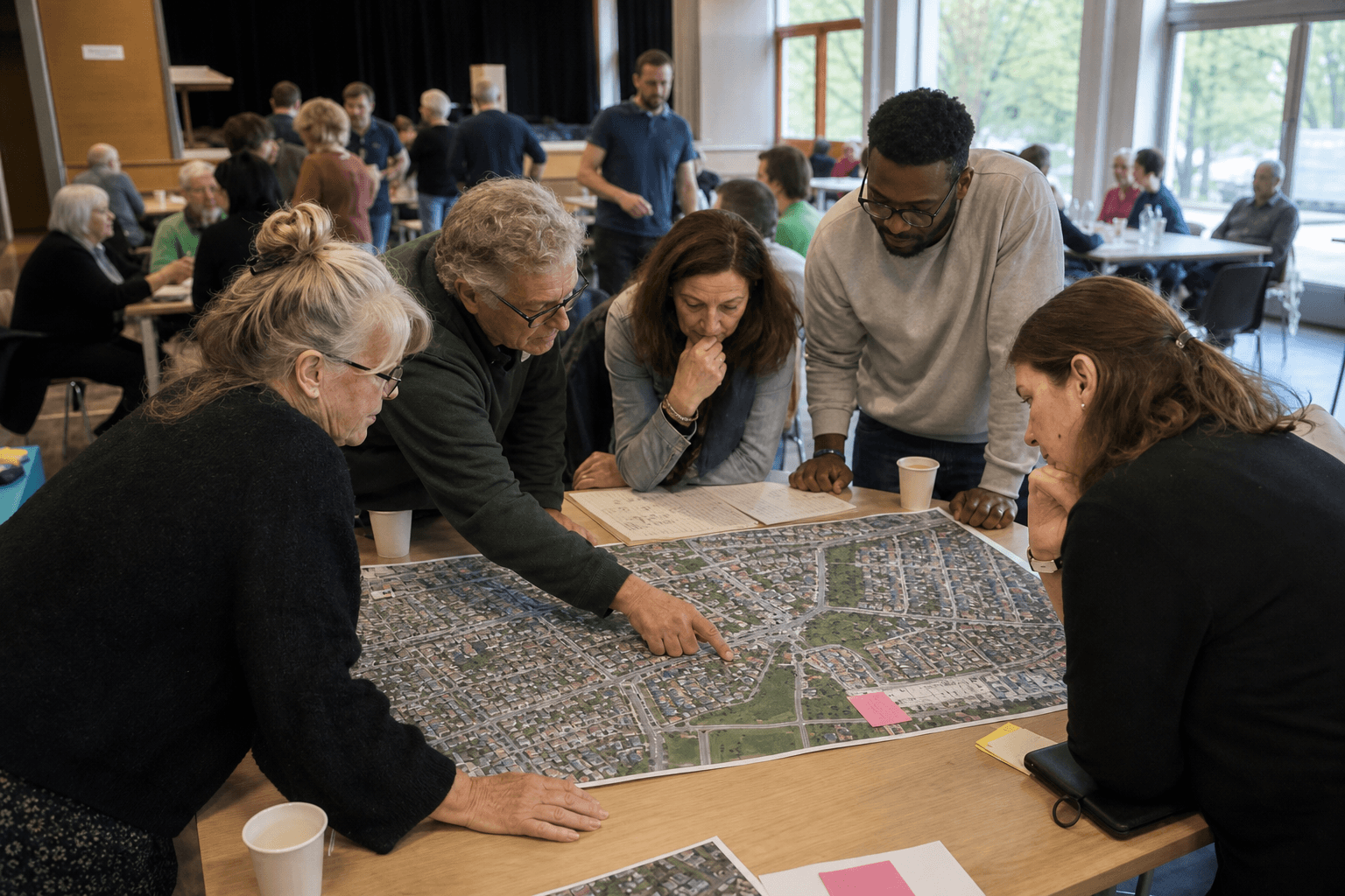
How GeoApps GIS solutions help with participation — feedback on the map, sharing scenarios and turning input into better decisions.
Municipalities, provinces and environmental agencies involve residents and stakeholders through interactive maps.
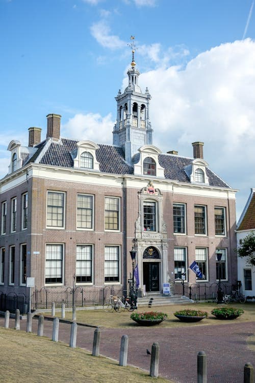
Public participation and community engagement tools for municipal planning.


Regional stakeholder engagement and participatory planning platforms.
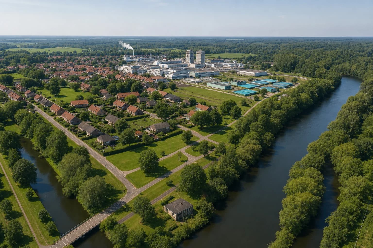
Public consultation and environmental impact communication tools.

Resident participation and community feedback systems for housing projects.

















Reach more stakeholders and improve the quality of participation with interactive tools.
Collect valuable input from stakeholders for well-considered decisions.
Increase communication and transparency in your participation processes.
Collect valuable input from stakeholders via interactive maps and tools. Link responses directly to specific locations and project components for a complete overview.
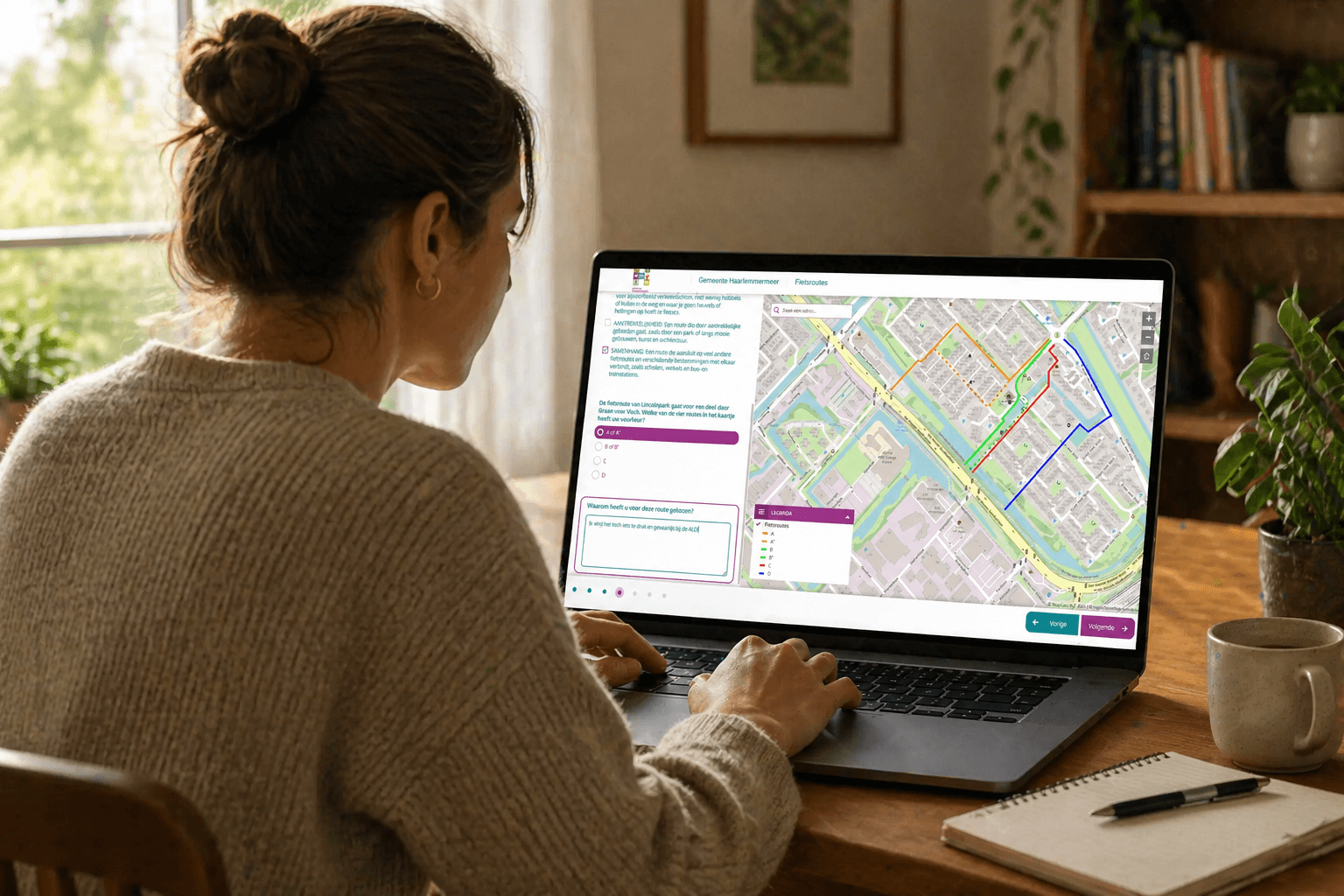
Work together with stakeholders and residents in one shared environment. Share plans and designs in an accessible way and collect input via different channels.
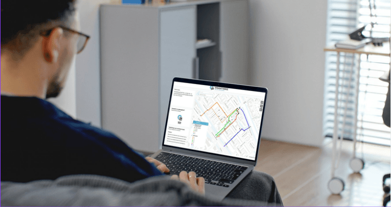
Keep all stakeholders informed of project progress and decisions. Create trust through open and clear communication about all aspects of your project.
GeoApps offers handy tools such as MapTour and MapTalk to organize participation in an accessible and integrated way. With MapTour, you present your plans in a visual and accessible way. With MapTalk, you involve residents and stakeholders directly, so they can quickly and easily provide feedback on design drawings. You link responses, comments, and suggestions directly to maps, plans, and project components. This creates a clear overview in which you manage, analyze, and use all input in your decision-making.
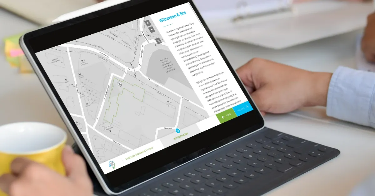
To maintain an overview, you can easily create a clear and understandable overview of all incoming responses with the GeoApps Dashboard. By organizing responses by theme, origin, nature of the comment, and more, you quickly get insight into what is going on and where you can take targeted action – without getting lost in the details.
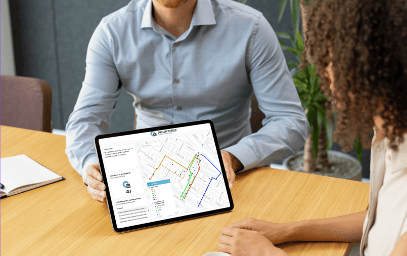
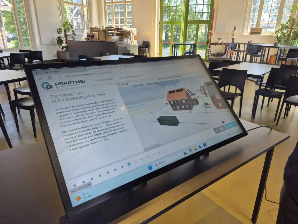
Engage stakeholders with MapTalk’s accessible online participation and present interactively with TouchTable. Both work seamlessly with GeoApps in one participation workflow.
"Thanks to MapTalk, we have received more responses from residents. The input from the younger target group was particularly high."
Discover our apps that perfectly complement this solution
Discover how GeoApps with handy apps such as MapTalk and MapTour strengthens your projects. Plan a personal consultation or request a demo and easily increase involvement and decision-making.

Answers about data, collaboration and implementation for participation and communication workflows.




