
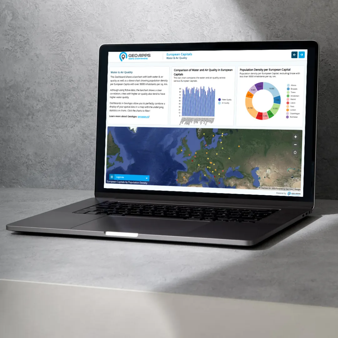
Bring maps, analyses, geo-information, and BI together in one powerful platform. Especially for GIS specialists and geo-teams who want to set up, further develop, and seamlessly integrate map-oriented applications within their organization. GeoApps supports connections with internal and external data sources, combines geo-data with BI dashboards, and uses current data, powerful visualizations, and open standards. This way, you can translate complex data into usable insights and decisions faster.
Discover how GeoApps helps organizations optimize their operations

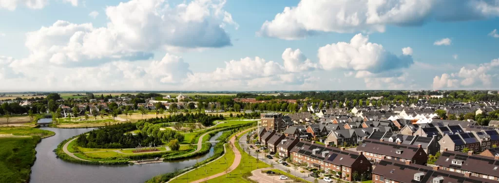
Comprehensive GIS infrastructure and data management for municipal operations.


Advanced GIS tools for environmental monitoring and regulatory compliance.

Professional GIS solutions for spatial analysis and project management.

GIS-Plattform-Integration und maßgeschneiderte Anwendungsentwicklung.


GeoApps is developed in the Netherlands, meaning you can always get development & consulting support from a European provider, and use the software in your preferred language.
Easily get rid of your legacy GIS-providers with a modern stack of editable web-map-apps available within 1 clear license, open standards and extensive integration possibilities with your existing workflows and systems like QGIS or an ERP.
A comprehensive platform developed by and in collaboration with experts in GIS and geo-information.
Bring all your geo-information together in one place and work with a single reliable picture.

Support for digitization of maps and geo-information, application development, and spatial data management.

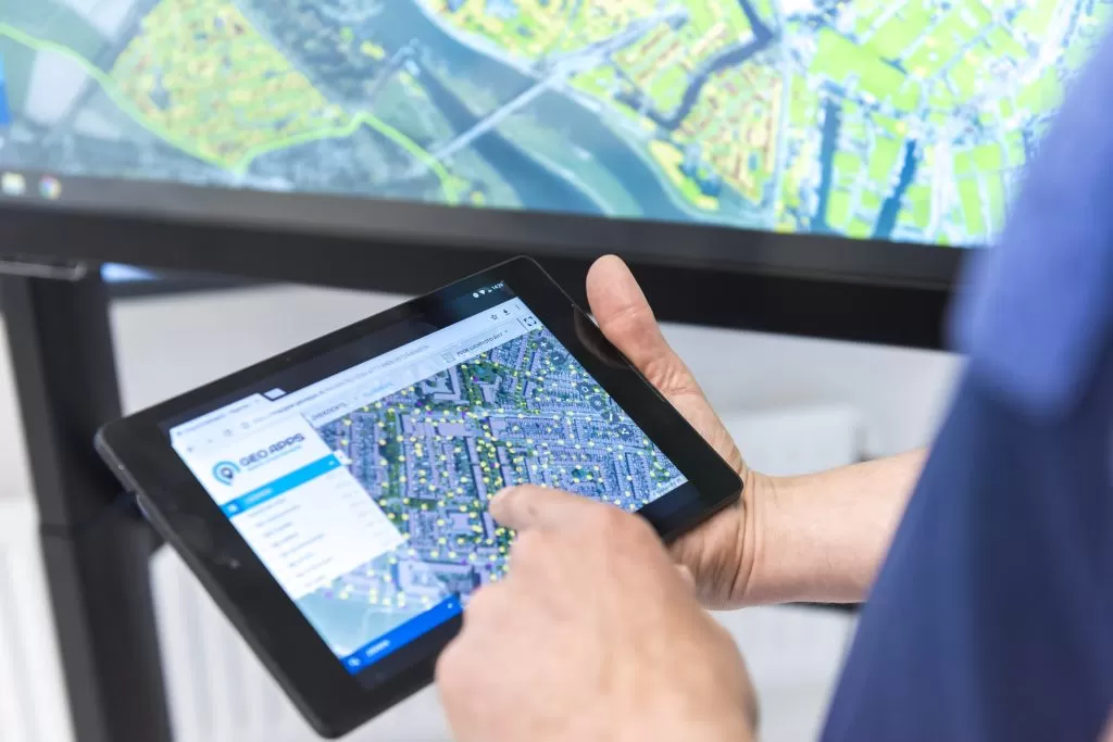
Work seamlessly on desktop, mobile and TouchTable with the same maps and insights.

Ensure that your geo-information is used in a future-proof manner. With a clear strategy and robust architecture, you get more out of data, systems, and processes.

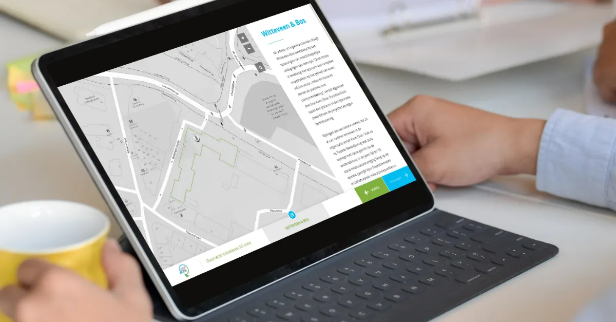
"For both simple map publications and more complex functions, such as user management and advanced analyses, GeoApps offers us the flexibility and possibilities we need."

MapGear is our parent company and specialist in GIS consulting & development. We support organizations in building GIS departments, developing custom applications, and optimizing workflows around the GeoApps platform, QGIS, and other GIS technologies.
Please accept cookies to play this video
Discover our apps that perfectly complement this solution
Organizations that deal smartly with maps and data work faster, save costs, and make better decisions. With GeoApps, you lay the foundation today to seize opportunities and be ready for tomorrow.
Answers about data, collaboration and implementation for GIS and geodata workflows.