What a GIS viewer is, how it relates to desktop GIS, what data belongs in it, and how GeoApps Viewer fills that role for governments and firms.
A GIS viewer is not just a textbook term: it is the map your organisation actually opens. Below: what that means, how it relates to desktop GIS, what data belongs in it, and how GeoApps Viewer fills that role.
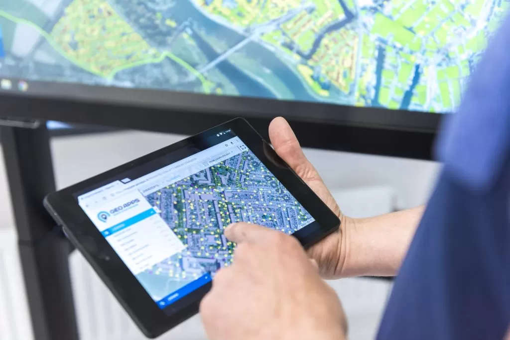
A GIS viewer is a web app for map layers and spatial data: view, query, analyse and share. Colleagues click the map, toggle layers and send a link. Nobody installs desktop GIS. GeoApps Viewer is that viewer for governments, city departments and consulting and engineering firms.
QGIS and ArcGIS Pro stay with specialists: heavy analysis, data models, cartography. The GIS viewer is the publishing layer. GeoApps Viewer does not replace desktop GIS; it makes the same maps available to everyone else — in the browser, with user management.
A serious GIS viewer connects PDOK and your own sources in one map: WMS, WMTS, WFS, GeoJSON, Shapefile, GeoPackage, plus extras such as Cyclomedia StreetSmart or 3D. The free PDOK Viewer is fine for public data only; own layers, drawing, reporting and permissions need a platform like GeoApps.
Policymakers, project teams, inspectors and communications open the viewer daily. GIS specialists build and publish. Governments, city departments and consulting and engineering firms use the same setup: one browser, no extra desktop licence per viewer.
Publish maps in minutes and share them with colleagues, policymakers and project teams. Desktop GIS for experts, web maps for the rest of the organization.
Go to the Viewer page