Skip to main contentSkip to navigation
About usContactVacancies
Log in
MapGear Logo
NewsAbout MapGearJobs
Log inContact
MapGear, known through GeoAppsGeoApps
GeoApps Logo
Apps
Solutions
Platform
About us
Subscriptions
Get a Demo
Back to trainings

GeoApps Adoption Workshop

Half-day workshop to prioritise GeoApps GIS use cases and agree a practical adoption plan with stakeholders.

Many organisations have GeoApps (or a GIS stack) available, yet usage stalls with a handful of specialists. This workshop brings GIS admins, key users and line management together to decide which map and data use cases deliver real value—from viewer and dashboard scenarios to fieldwork and participation.

We stay outcome-led: which processes improve when GeoApps becomes the default, which data and apps must be ready, and which agreements keep teams working with current geo-information. You leave with a prioritised use-case backlog and a concrete adoption plan (roles, communication, training, success measures).

Optionally we combine inspiration with TouchTable or participation-style sessions so stakeholders do not only hear what is possible—they see and feel it at the table.

Included

  • Half day on site
  • Prioritisation of GeoApps / GIS use cases
  • Adoption plan with roles and next steps
  • Stakeholder alignment and success criteria

Price

from €1,495

Excl. VAT · larger groups on request

Who it is for
Project teams, GIS admins and line managers accelerating GeoApps adoption.
Duration
Half day
Format
On-site

Questions or ready to book? We are happy to help pick the right training.

Contact us

Questions or ready to book? We are happy to help pick the right training.

Contact us
GeoApps Viewer
Gasfabriek project
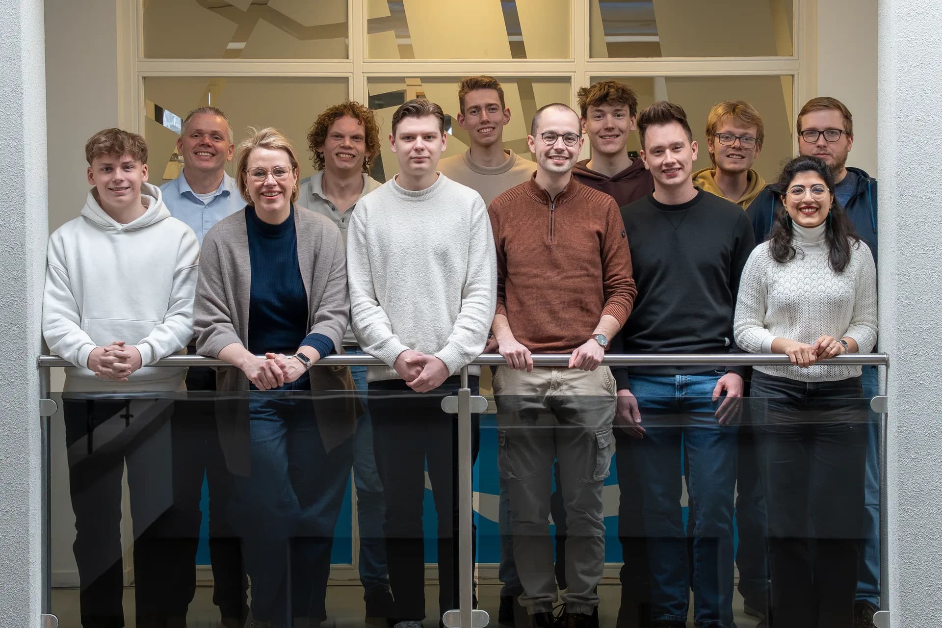
MapGear team office
GeoApps Logo

GeoApps is the leading software platform for GIS applications and spatial data, enabling organizations to make data-driven decisions.

Solutions

  • Urban Planning
  • Infrastructure
  • Real Estate
  • Environment & Climate
  • Energy Transition
  • Safety & Risk
  • GIS solutions

Products

  • GeoApps
  • Solutions
  • ESG-Maps
  • MapServices
  • TouchTable
  • Consultation
  • Platform

Apps

  • Viewer
  • Dashboard
  • Fieldwork
  • MapTour
  • MapTalk
  • Custom
  • QGIS plugin

For whom?

  • Municipalities
  • Provinces
  • Environmental Services
  • Engineering
  • Contractors
  • Safety Regions
  • Water authorities

Platform

  • Integrations
  • Documentation
  • GIS Lexicon
  • System Status
  • Changelog
  • Support
  • Subscriptions

Company

  • About Us
  • Careers
  • Contact
  • Partners
  • News & Blog
  • Events
  • Case studies

Stay up-to-date

Subscribe to our newsletter to get the latest updates on our products and services. You can unsubscribe at any time.

Keep an eye on our socials too

Stay connected with us through our social media channels and get the latest updates on our products and services.

Quality & trust

MapGear is ISO 9001 and ISO 27001 certified and meets the highest quality and security standards for our products and services.

ISO 9001 Certificering
ISO 27001 Certificering
QGIS Membership 2026
© 2026 MapGear B.V. All rights reserved.
Terms & conditionsPrivacy PolicySustainability statement