

Museums and historical associations across Overijssel hold thousands of local stories, but much of that knowledge is difficult for the public to discover. See how Tijdreis Overijssel uses GeoApps to connect heritage collections to real places and turn them into interactive routes anyone can explore.
A historic bridge can look like an ordinary bridge when you do not know what happened there. An old factory may disappear into the streetscape. A former wartime site can become almost invisible once the physical traces have faded.
Across the Dutch province of Overijssel, museums, historical associations, archives and foundations hold countless stories about those places. The challenge was not a lack of history. It was making that history accessible to people while they were standing in the places where it actually happened.
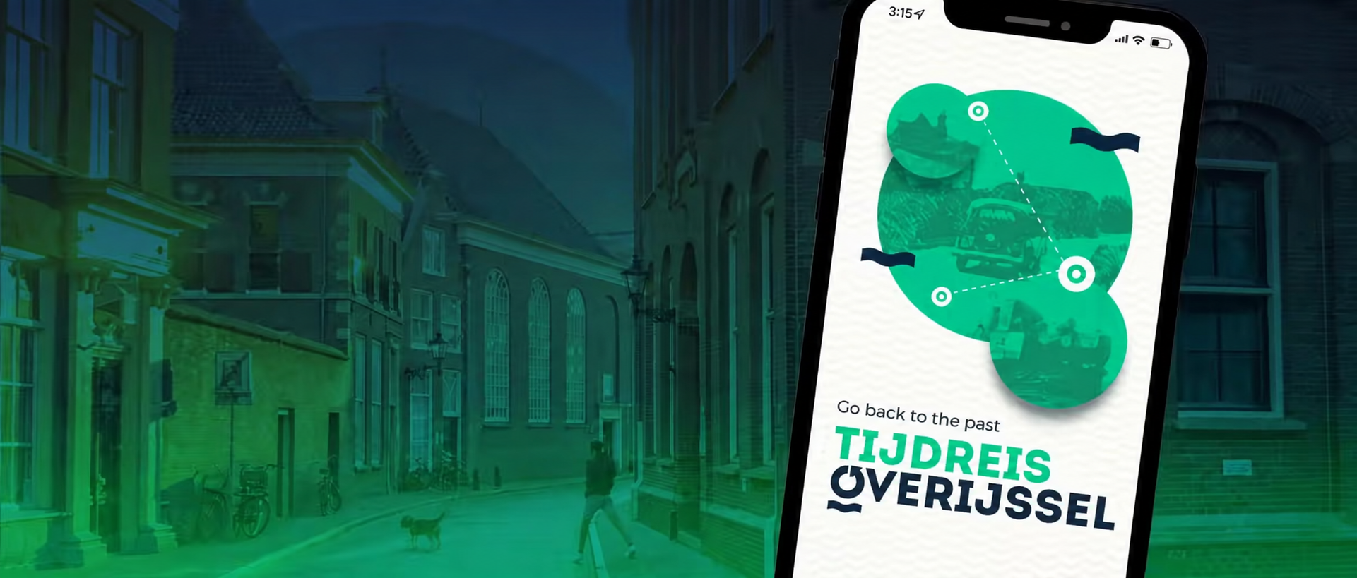
That was the idea behind Tijdreis Overijssel, meaning roughly “Time Travel Overijssel”. The project was developed with Collectie Overijssel, the regional heritage and archives organisation responsible for preserving and making historical information and cultural heritage from Overijssel accessible. GeoApps provided the technology that connects collection content to locations and turns those stories into interactive routes for residents, visitors, families and schools.
Local museums and historical associations often hold photographs, documents, recordings and stories with enormous cultural value. But much of that material traditionally lives inside collection systems, archives or specialist organisations. Unless someone already knows what to search for, the stories can remain difficult to find.
Tijdreis Overijssel takes a different approach by starting with place. Collection managers can connect historical information directly to points on the map and enrich those locations with photographs, text, audio and video. The content is then brought together in themed experiences that people can explore online.
This changes the relationship between the collection and the public. Instead of asking someone to search an archive for a story they may not even know exists, the map can reveal what happened right where they are standing.
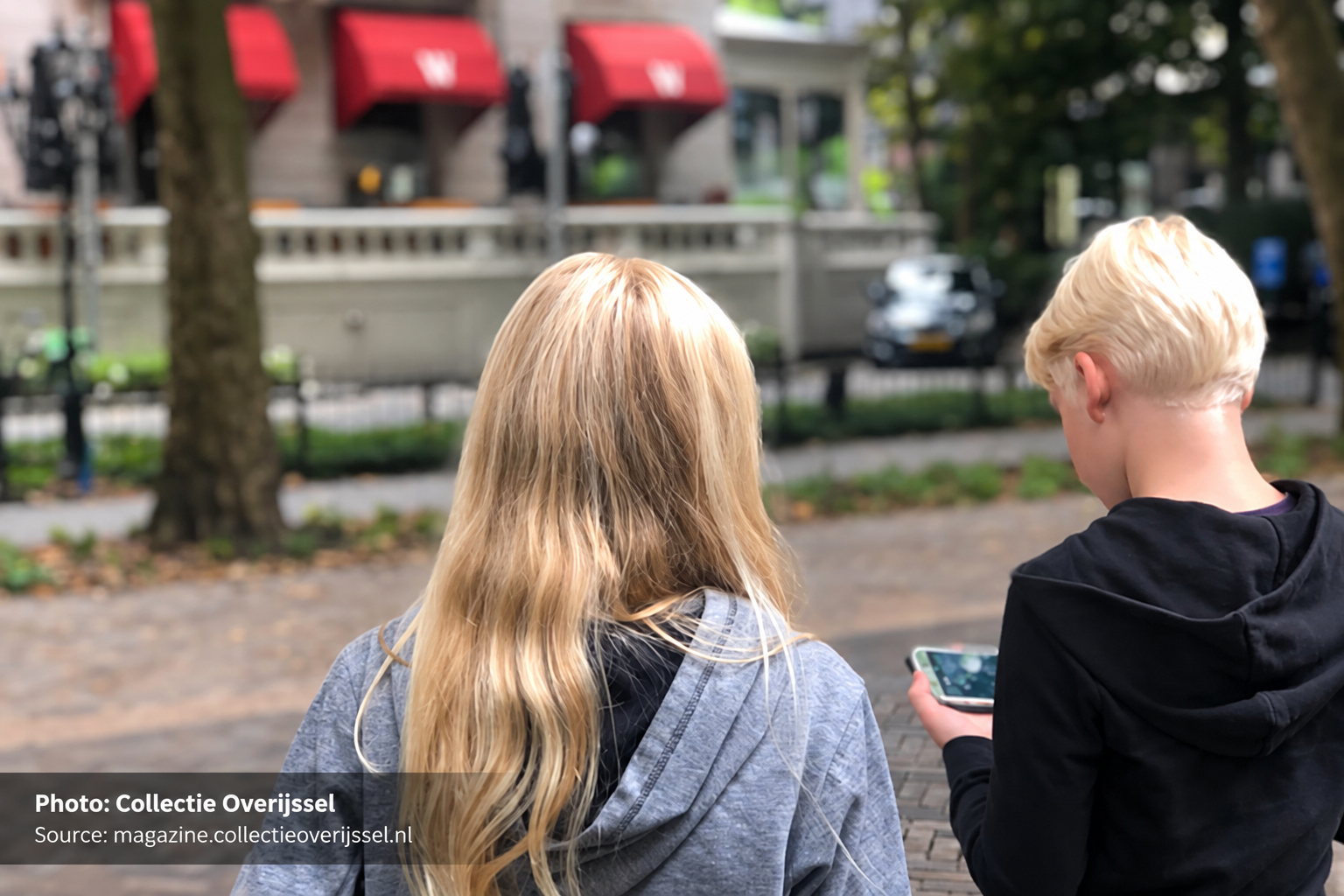
Users can choose themes or regions that interest them, select locations they want to visit and create their own route through the province. The route can be adapted for walking, cycling or driving. When someone reaches a location, the app can show historical photographs, video or explanatory text connected to that specific place.
That spatial connection is especially powerful for stories whose physical traces have largely disappeared. Collectie Overijssel had already seen this with an earlier Second World War route app, where users could explore locations such as former labour camps, rocket-launch sites and places captured in historic photographs. The organisation describes location-based storytelling as a way to make hidden history visible again in the modern landscape.
A historical photograph is interesting on a screen. Seeing that photograph while standing where it was taken creates an entirely different experience.
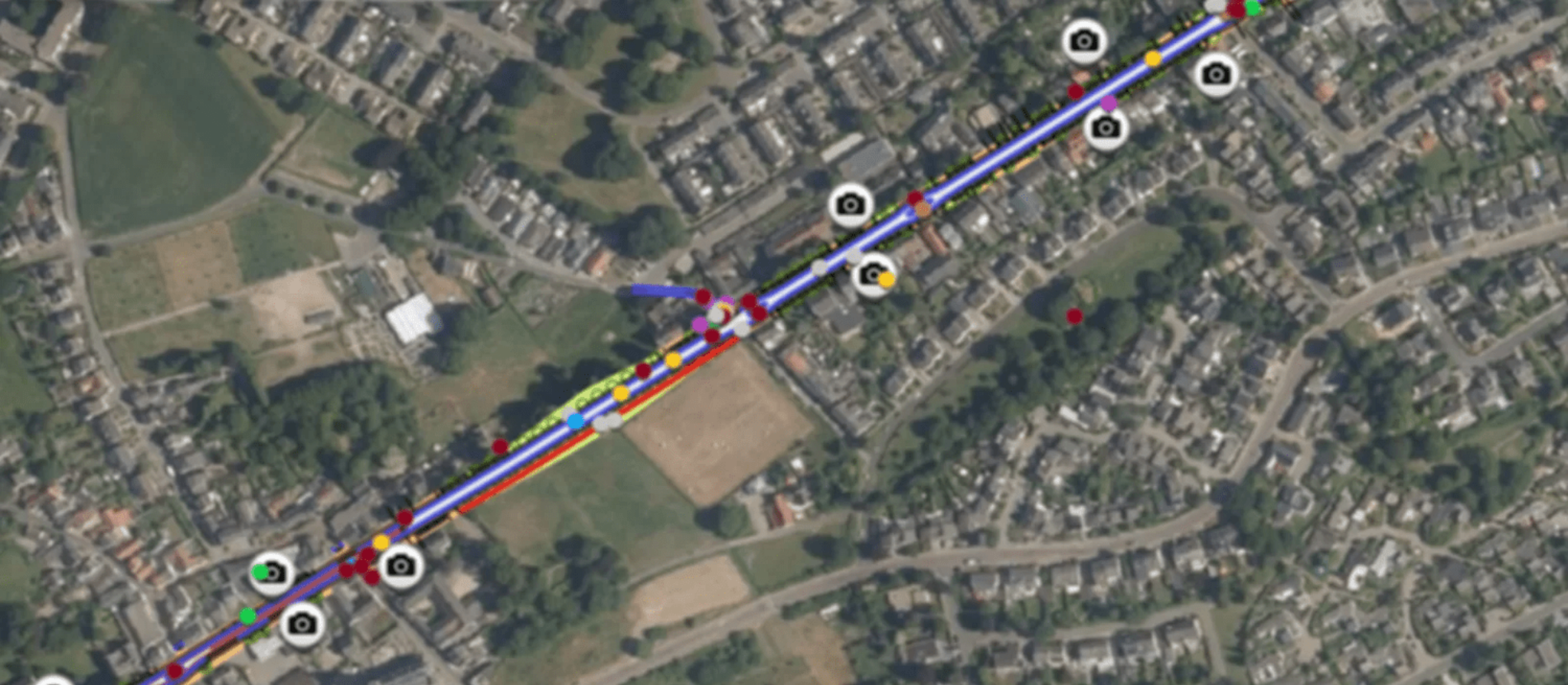
Interactive heritage route with historical points of interest and photo locations in Tijdreis Overijssel
One of the most important design requirements was accessibility behind the scenes as well as in the public app. Many of the people contributing local history are volunteers or collection managers with deep knowledge of their community, but they are not necessarily GIS specialists.
The management environment developed by MapGear therefore allows participating museums, associations and foundations to upload route points and associated stories without requiring specialist GIS expertise. Collectie Overijssel can support organisations with content and route-point preparation, while the technical platform handles the spatial presentation.
That creates a model that can grow beyond one central organisation. Local groups can contribute their own knowledge while the public experiences those stories through one consistent spatial interface.
The technology does not replace local expertise. It gives that expertise a way to reach more people.
The wider Tijdreis Overijssel project grew from the experience of an earlier Second World War route application. By January 2022, the GeoApps case study reported that the earlier app had already been downloaded more than 1,200 times and had been received positively within education. That success helped inspire the broader Tijdreis concept, which could expand beyond wartime history into subjects such as crafts, landscapes, religion, art, industrial heritage and local culture.
The importance of digital access became even clearer during the COVID-19 period, when museums and heritage organisations faced restrictions on physical visits. But the idea extends well beyond replacing a museum visit. Tijdreis Overijssel makes the landscape itself part of the collection.
Collectie Overijssel now preserves more than 22 kilometres of archival collections in Zwolle and Deventer, alongside photographs, audiovisual material, books and other historical sources. A project such as Tijdreis provides another way for that heritage, together with stories contributed by local organisations, to reach people outside the archive walls.
History does not only belong in an archive. Sometimes the most powerful way to understand it is to stand exactly where it happened.
GeoApps can connect collections, multimedia and spatial data to real-world locations, helping heritage organisations turn archives into interactive experiences that people can explore on foot, by bicycle or online.
Book a demo and see what GeoApps could make possible
Let's discuss how GeoApps can help bring your vision to life
Let's discuss your use case.

